Bog of Rannas Wood
Wood, Forest in Banffshire
Scotland
Bog of Rannas Wood

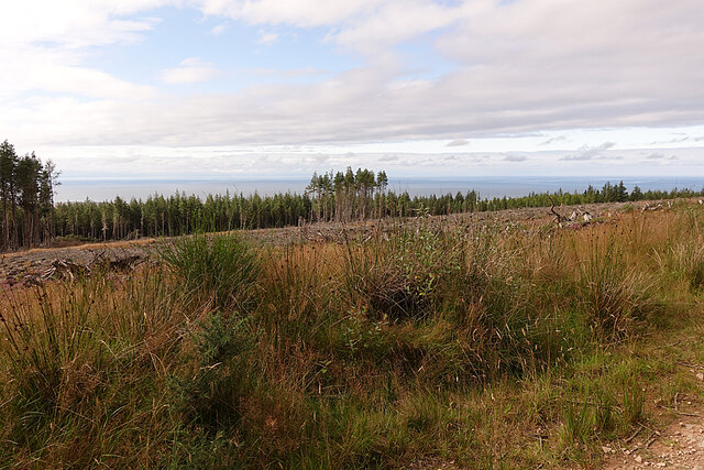
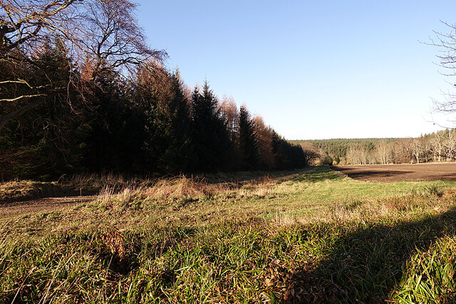
Bog of Rannas Wood is a picturesque forest located in Banffshire, a historic county in northeastern Scotland. Spread across an area of approximately 100 hectares, this woodland is known for its diverse ecosystem and breathtaking natural beauty.
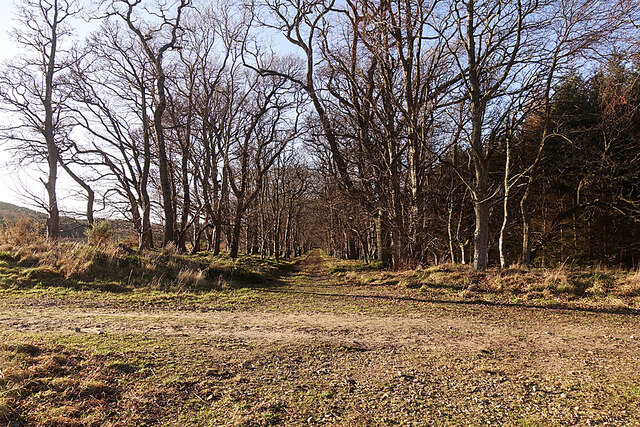
The wood is primarily composed of native trees such as Scots pines, birches, and rowans, which create a dense canopy that provides shelter for a wide range of wildlife. The forest floor is covered in a thick layer of moss and ferns, adding to the enchanting atmosphere of the woodland.
Bog of Rannas Wood is home to a variety of bird species, including the elusive capercaillie, as well as buzzards, owls, and woodpeckers. Other wildlife that can be spotted in the area includes red squirrels, roe deer, and pine martens. The wood also boasts a rich insect population, attracting butterfly enthusiasts and nature lovers.
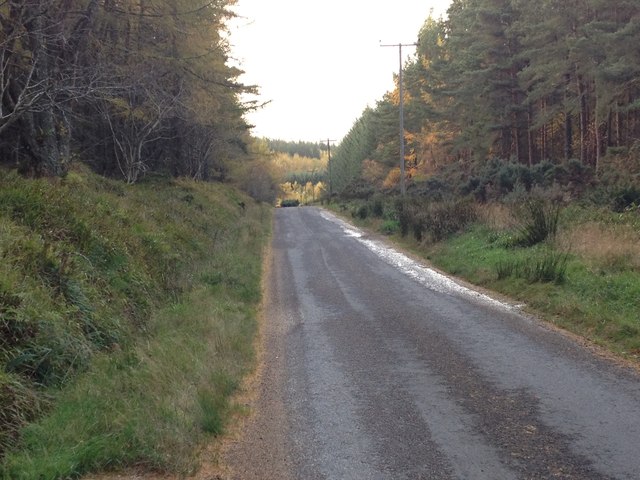
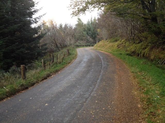
The woodland is crisscrossed by a network of well-maintained trails, allowing visitors to explore its beauty on foot. These paths wind through the forest, offering glimpses of tranquil ponds and clear streams along the way. Nature enthusiasts can indulge in birdwatching, photography, or simply enjoy the peaceful ambiance.
With its serene atmosphere and abundant wildlife, Bog of Rannas Wood is a popular destination for nature lovers and outdoor enthusiasts alike. Its accessibility and stunning natural features make it an ideal spot for hiking, picnicking, or simply immersing oneself in the wonders of Scotland's diverse landscape.
If you have any feedback on the listing, please let us know in the comments section below.
Bog of Rannas Wood Images
Images are sourced within 2km of 57.673159/-2.9095128 or Grid Reference NJ4565. Thanks to Geograph Open Source API. All images are credited.


Bog of Rannas Wood is located at Grid Ref: NJ4565 (Lat: 57.673159, Lng: -2.9095128)
Unitary Authority: Moray
Police Authority: North East
What 3 Words
///explained.beaks.evoke. Near Findochty, Moray
Nearby Locations
Related Wikis
Rathven
Rathven (Scots: Raffin) is an ecclesiastical parish, village and former civil parish in the historic county of Banff, now in Moray, Scotland. The civil...

Buckie railway station (Highland Railway)
Buckie railway station was one of two stations which once served the town of Buckie, in the parish of Rathven, Scottish county of Moray. This Highland...

Rathven railway station
Rathven railway station was a station which served the hamlet of that name, about a mile away in the parish of Rathven, Scottish county of Moray. It was...
Portessie railway station
Portessie railway station was a joint Highland Railway (HR) and Great North of Scotland Railway (GNoSR) station at the junction between the Moray Coast...
Nearby Amenities
Located within 500m of 57.673159,-2.9095128Have you been to Bog of Rannas Wood?
Leave your review of Bog of Rannas Wood below (or comments, questions and feedback).