Tickenham Hill
Hill, Mountain in Somerset
England
Tickenham Hill
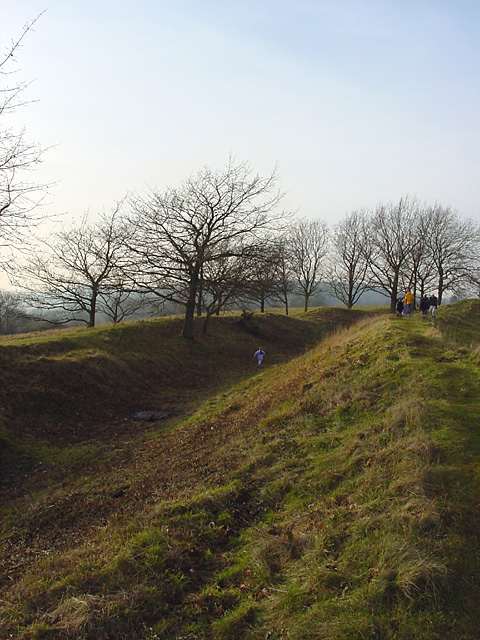
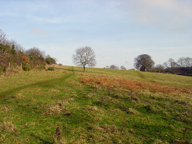
Tickenham Hill is a prominent natural feature located in the county of Somerset, in southwestern England. Situated near the village of Tickenham, the hill rises to an elevation of approximately 215 meters (705 feet) above sea level, making it a notable landmark in the surrounding landscape.
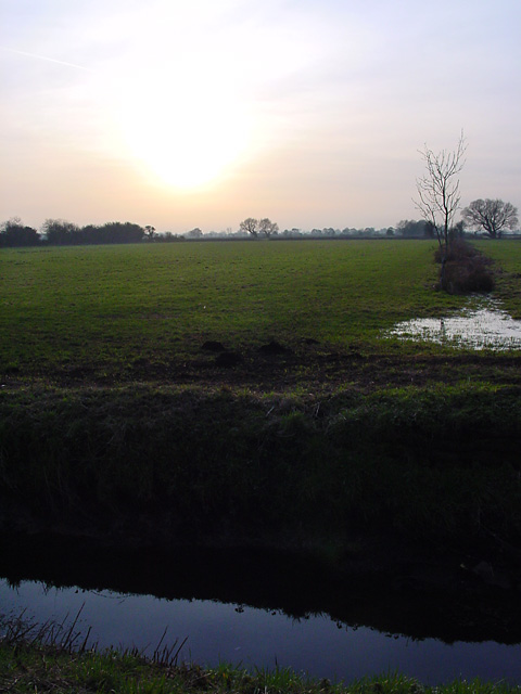
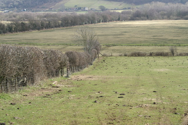
The hill is part of the broader Mendip Hills range, which is renowned for its picturesque scenery and diverse wildlife. Tickenham Hill, in particular, offers panoramic views of the surrounding countryside, including the Bristol Channel to the west and the Bristol cityscape to the north. On clear days, it is even possible to catch a glimpse of the distant Welsh coastline.
The hill is mainly composed of limestone, a common characteristic of the Mendip Hills. This geological makeup contributes to the formation of several unique features, including caves and sinkholes, which can be explored by adventurous visitors.
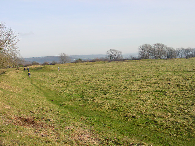
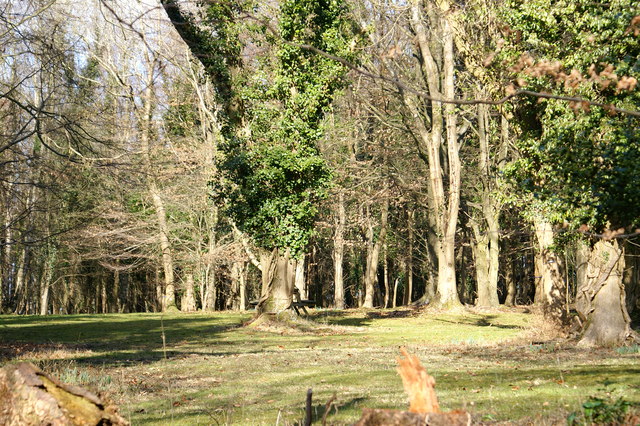
Tickenham Hill is a popular destination for outdoor enthusiasts, offering numerous walking and hiking trails that provide an opportunity to experience the beauty of the surrounding countryside. The hill is also home to a variety of flora and fauna, including rare plant species and nesting birds, making it a haven for nature lovers.
Overall, Tickenham Hill is a significant natural feature in Somerset, combining its stunning views, geological formations, and diverse ecosystem to create a memorable experience for visitors.
If you have any feedback on the listing, please let us know in the comments section below.
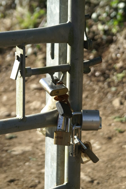
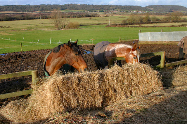
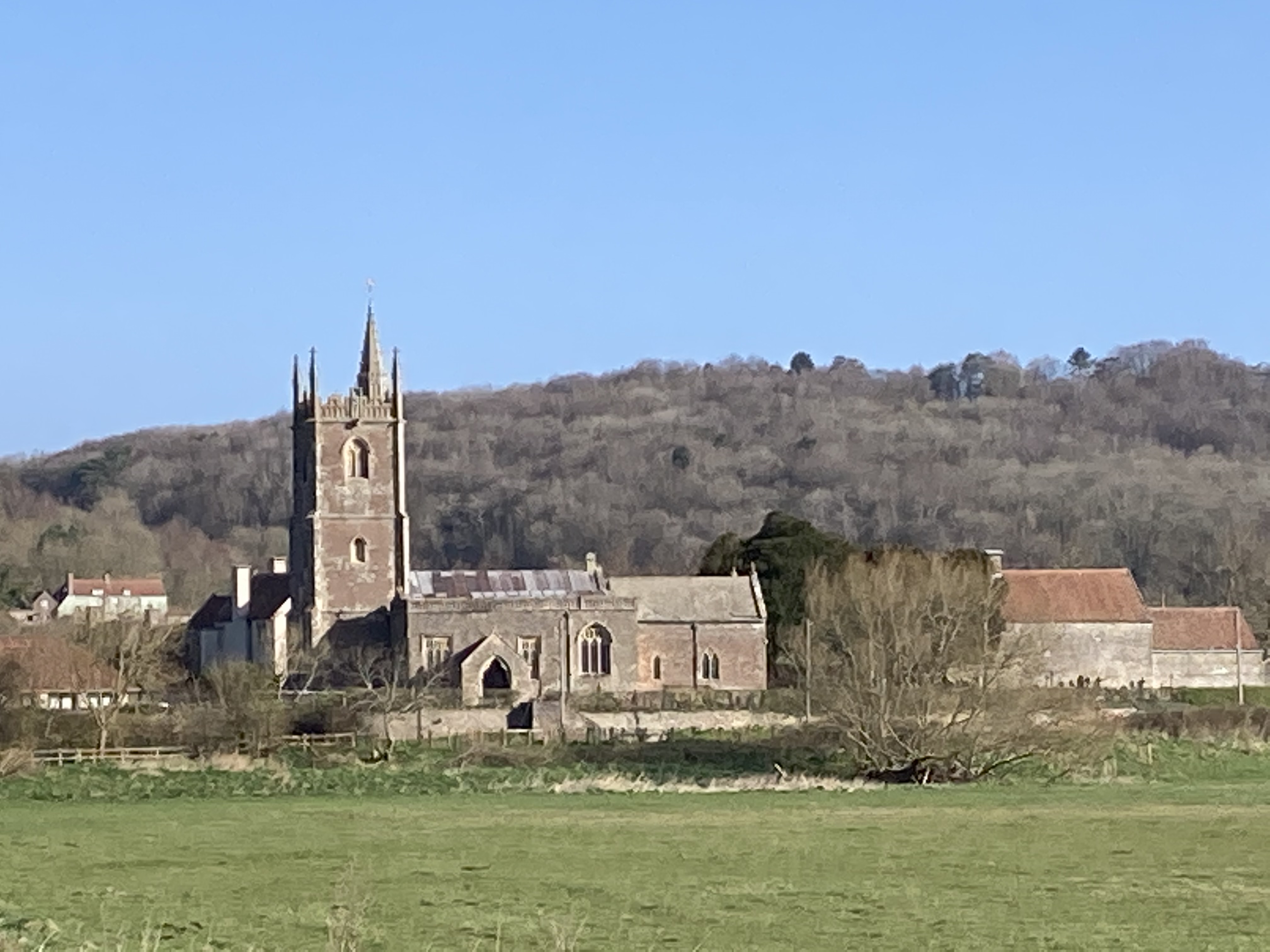
Tickenham Hill Images
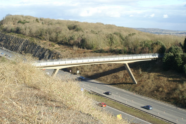
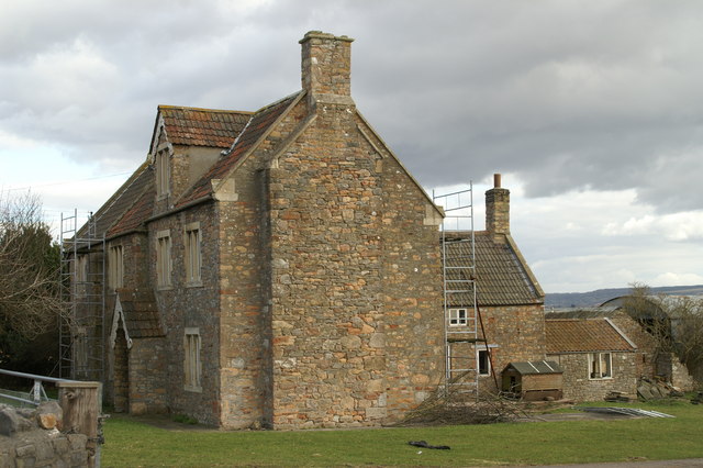
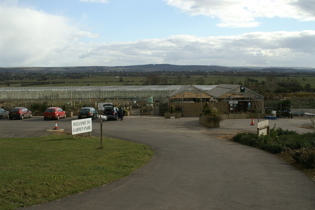
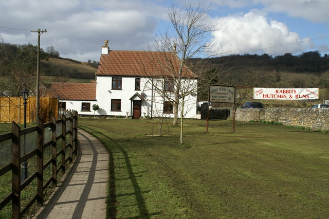
Images are sourced within 2km of 51.448535/-2.799031 or Grid Reference ST4472. Thanks to Geograph Open Source API. All images are credited.
Tickenham Hill is located at Grid Ref: ST4472 (Lat: 51.448535, Lng: -2.799031)
Unitary Authority: North Somerset
Police Authority: Avon and Somerset
What 3 Words
///interest.attention.chapels. Near Nailsea, Somerset
Nearby Locations
Related Wikis

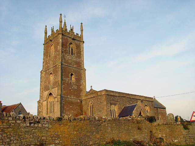
Cadbury Camp
Cadbury Camp is an Iron Age hill fort in Somerset, England, near the village of Tickenham. It is a scheduled monument. Although primarily known as a fort...
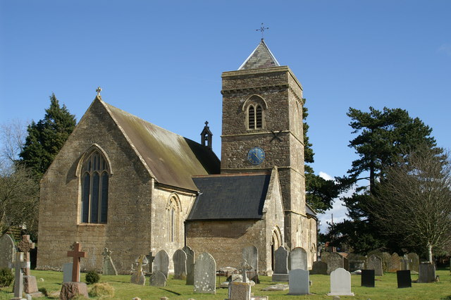
Tickenham
Tickenham is a village and civil parish near Clevedon and Nailsea in North Somerset, England. The parish has a population of 910. It has a primary school...

Court Hill
Court Hill (grid reference ST436722) is a 10.45 hectare geological Site of Special Scientific Interest near the town of Clevedon, North Somerset, England...

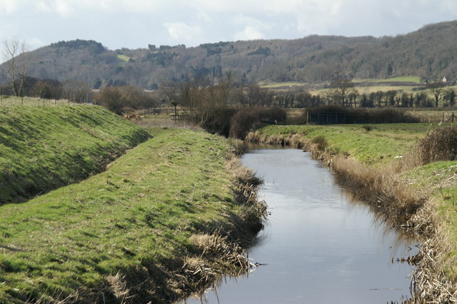
Gordano Valley
Gordano (or the Gordano Valley; ) is an area of North Somerset, in England. It has been designated as a National Nature Reserve.The name Gordano comes...
Nearby Amenities
Located within 500m of 51.448535,-2.799031Have you been to Tickenham Hill?
Leave your review of Tickenham Hill below (or comments, questions and feedback).