Bodbury Hill

Hill, Mountain in Shropshire

England

Bodbury Hill

Leasowes Close Newly built houses on the edge of Church Stretton.
Leasowes Close Credit: N Chadwick

Bodbury Hill is a prominent hill located in the county of Shropshire, England. Situated near the village of Cardington, it forms part of the wider Shropshire Hills Area of Outstanding Natural Beauty. Standing at an elevation of approximately 383 meters (1,257 feet), it is not classified as a mountain but rather a hill.

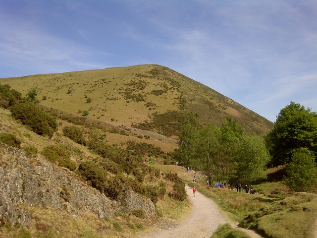
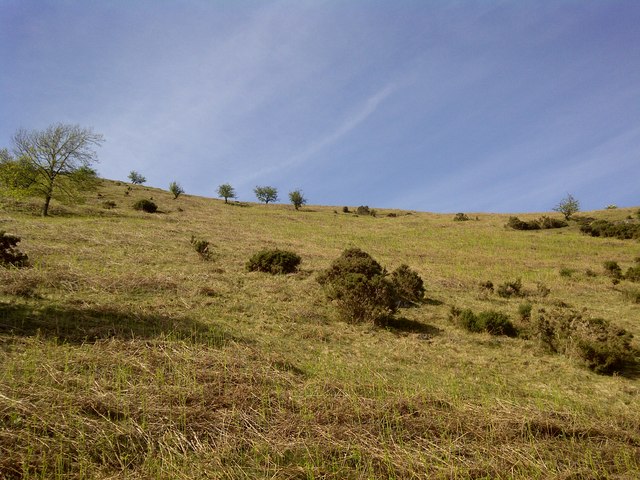
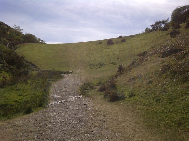
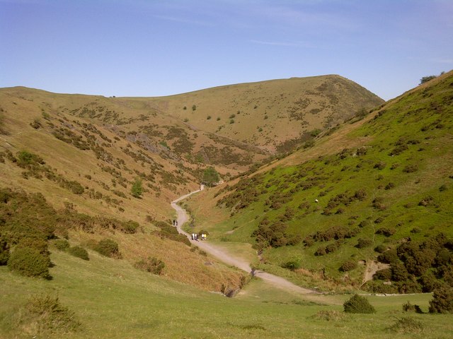
Bodbury Hill is known for its distinctive shape, with a long ridge stretching from northwest to southeast. The hill is predominantly covered in grass and heather, creating a picturesque landscape that attracts hikers, walkers, and nature enthusiasts. From its summit, visitors can enjoy panoramic views of the surrounding countryside, including the nearby Caradoc Hill and the Long Mynd to the west.

The hill has archaeological significance, with evidence of human activity dating back thousands of years. There are several prehistoric burial mounds and Iron Age hillforts scattered across the area, indicating that Bodbury Hill was once an important settlement. Today, the hill serves as a reminder of the region's rich history and cultural heritage.

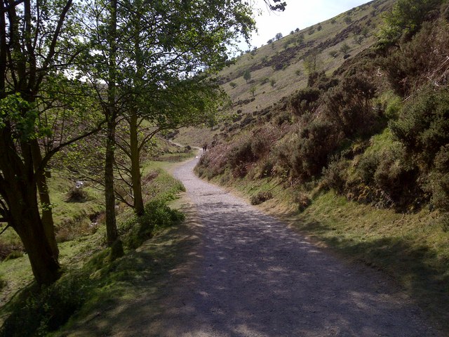
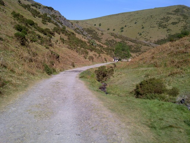
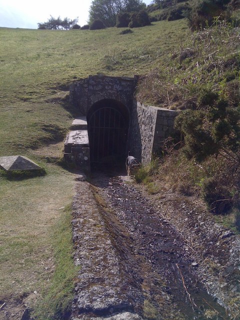
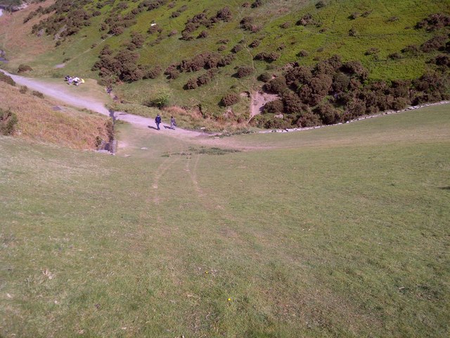
Access to Bodbury Hill is relatively easy, with public footpaths and bridleways leading to the summit. The hill is a popular destination for outdoor activities such as hiking, birdwatching, and picnicking. It also offers a tranquil escape from the hustle and bustle of urban life, providing visitors with an opportunity to immerse themselves in the natural beauty of Shropshire's countryside.

If you have any feedback on the listing, please let us know in the comments section below.
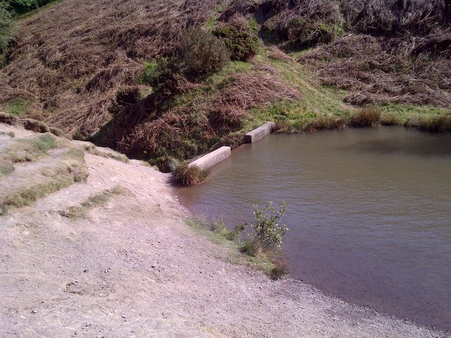
Bodbury Hill Images

Images are sourced within 2km of 52.549317/-2.8189248 or Grid Reference SO4494. Thanks to Geograph Open Source API. All images are credited.

Leasowes Close Newly built houses on the edge of Church Stretton.
Leasowes Close
Newly built houses on the edge of Church Stretton.
Cwms Lane A narrow lane heading towards Caer Caradoc.
Cwms Lane
A narrow lane heading towards Caer Caradoc.
Helmeth Rd
Helmeth Rd
Cwms Lane
Cwms Lane
Cwms Lane A narrow lane heading to the Cwms.
Cwms Lane
A narrow lane heading to the Cwms.
Footpath off Cwms Lane
The B5477 and the bridleway to Inwood
War Memorial in All Stretton "To the glory of God and in the memory of those from this parish who fell in the Great War 1914 - 1918 for Truth Righteousness and Justice" 
5 names are then listed, along with 4 who died in WWII.
War Memorial in All Stretton
"To the glory of God and in the memory of those from this parish who fell in the Great War 1914 - 1918 for Truth Righteousness and Justice" 5 names are then listed, along with 4 who died in WWII.
Carding Mill Valley Dam
Carding Mill Valley
Carding Mill Valley
Carding Mill Valley
Carding Mill Valley
Carding Mill Valley
Carding Mill Valley
Carding Mill Valley
Carding Mill Valley
Carding Mill Valley Reservoir Inbankment
Carding Mill Valley Reservoir Tunnel
Carding Mill Valley Reservoir Embankment
Carding Mill Valley Reservoir Inbankment
Carding Mill Valley Reservoir
Show me another place!

Bodbury Hill is located at Grid Ref: SO4494 (Lat: 52.549317, Lng: -2.8189248)

Unitary Authority: Shropshire

Police Authority: West Mercia

What 3 Words

///aims.plump.bachelor. Near Church Stretton, Shropshire

Related Wikis

Church Stretton School

Church Stretton School is an 11–16 mixed secondary school with academy status in Church Stretton, Shropshire, England.Previously a community school administered...

Long Mynd

The Long Mynd (Welsh: Cefn Hirfynydd) is a heath and moorland plateau that forms part of the Shropshire Hills in Shropshire, England. The high ground,...

Church Stretton

Church Stretton is a market town and civil parish in Shropshire, England, 13 miles (21 km) south of Shrewsbury and 15 miles (24 km) north of Ludlow. The...

St Laurence's Church, Church Stretton

St Laurence's Church is in Church Street, Church Stretton, Shropshire, England. It is an active Anglican parish church in the deanery of Condover, the...

Nearby Amenities

Located within 500m of 52.549317,-2.8189248
Barrier: bollard
Lat/Long: 52.5475651/-2.8250821
Ford: yes
Lat/Long: 52.5471622/-2.8244766
Toilets
Lat/Long: 52.5458909/-2.8226064
Carding Mill
Place: locality
Lat/Long: 52.5462795/-2.8230519
Bodbury Hill
Ele: 388
Natural: peak
Lat/Long: 52.5481107/-2.8198587
National Trust
Information: office
Tourism: information
Lat/Long: 52.5456615/-2.8221745
Bench
Backrest: no
Check Date: 2021-06-30
Lat/Long: 52.5458244/-2.8222548
Post Box
Collection Times: Mo-Fr 11:15, Sa 11:00
Drive Through: no
Operator: Royal Mail
Operator Wikidata: Q638098
Post Box Type: lamp
Ref: SY6 424
Royal Cypher: EIIR
Royal Cypher Wikidata: Q33102113
Source: survey
Lat/Long: 52.5459051/-2.8225172
Information: guidepost
Tourism: information
Lat/Long: 52.5484715/-2.8258154
Vending Machine
Check Date: 2021-06-30
Vending: parking_tickets
Lat/Long: 52.5448825/-2.8201311
Bench
Backrest: no
Lat/Long: 52.5457302/-2.8219702
Hiking: yes
Information: guidepost
Tourism: information
Lat/Long: 52.5473539/-2.8135212
Hiking: yes
Information: guidepost
Tourism: information
Lat/Long: 52.5516474/-2.8171207
Hiking: yes
Information: guidepost
Tourism: information
Lat/Long: 52.5524249/-2.8207203
Entrance: yes
Lat/Long: 52.5458232/-2.8224459
Building: yes
Lat/Long: 52.5490799/-2.8149117
Entrance: yes
Lat/Long: 52.5457446/-2.8223112
Defibrillator
Emergency: defibrillator
Lat/Long: 52.5458937/-2.8224992
Post Box
Collection Times: Mo-Fr 11:15; Sa 11:00
Drive Through: no
Operator: Royal Mail
Operator Wikidata: Q638098
Ref: SY6 424
Lat/Long: 52.5458768/-2.8224534
Ford: yes
Lat/Long: 52.5484278/-2.825795
Ford: yes
Lat/Long: 52.5486436/-2.826049
The data included in this document is from www.openstreetmap.org. The data is made available under ODbL.

Have you been to Bodbury Hill?

Leave your review of Bodbury Hill below (or comments, questions and feedback).