Staney Hill

Hill, Mountain in Roxburghshire

Scotland

Staney Hill

Minor road near to Doecleuch Looking northward.
Minor road near to Doecleuch Credit: Peter Wood

The requested URL returned error: 429 Too Many Requests

If you have any feedback on the listing, please let us know in the comments section below.
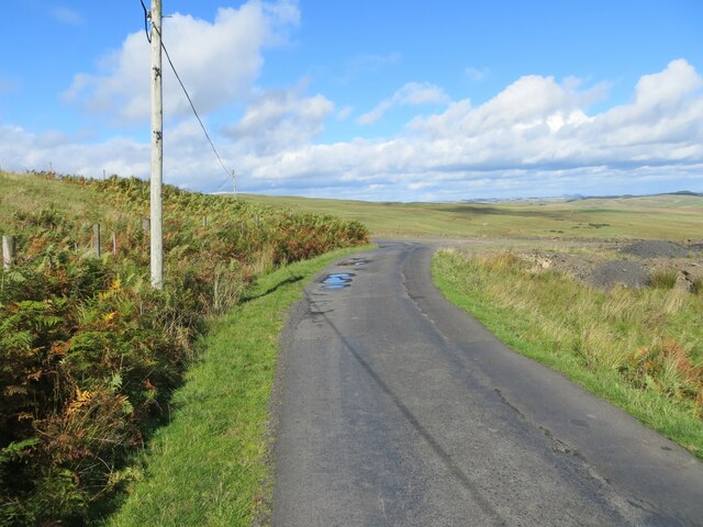
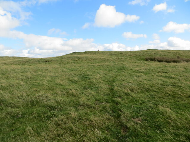
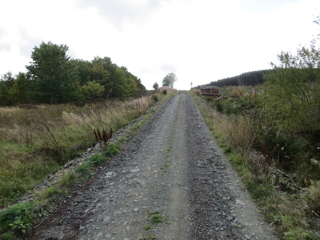
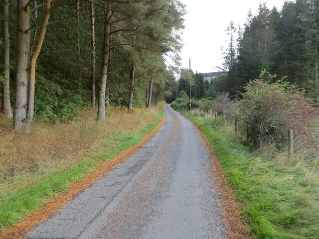
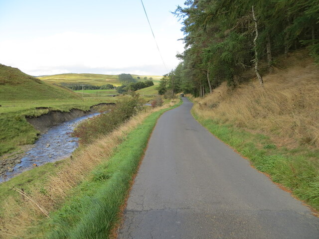
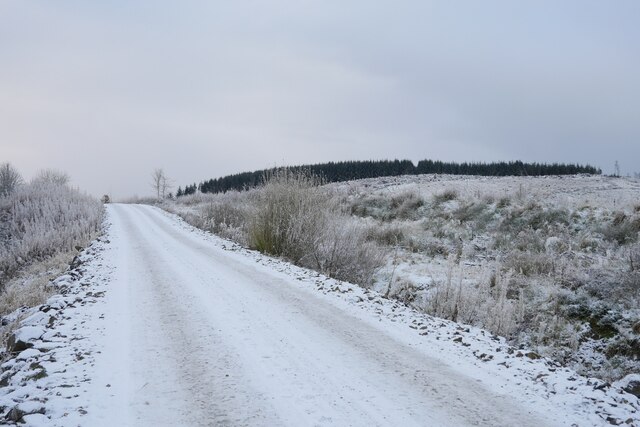
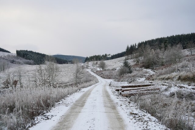
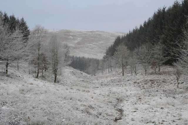
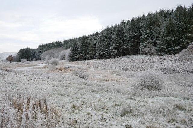
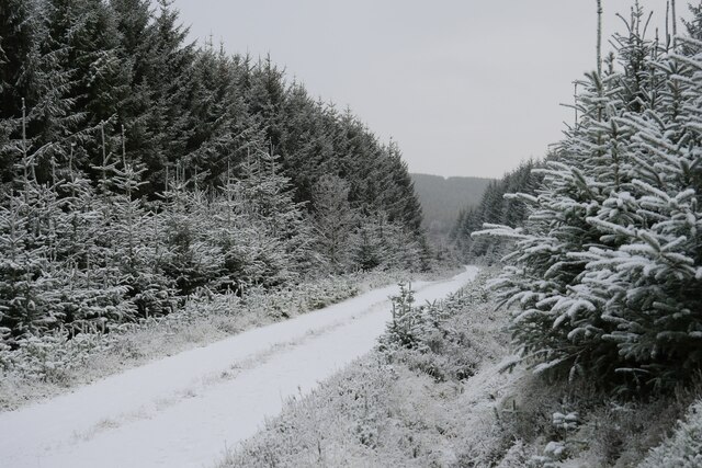
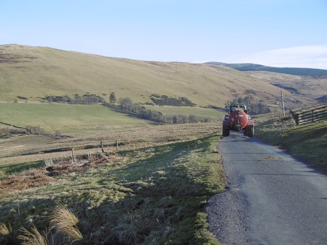
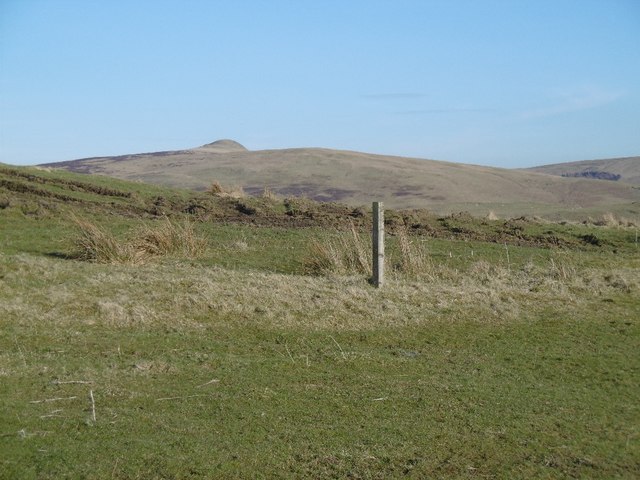
Staney Hill Images

Images are sourced within 2km of 55.344732/-2.877472 or Grid Reference NT4405. Thanks to Geograph Open Source API. All images are credited.

Minor road near to Doecleuch Looking northward.
Minor road near to Doecleuch
Looking northward.
Grass path heading for the triangulation pillar on Gray Hill Looking eastward.
Grass path heading for the triangulation pillar on Gray Hill
Looking eastward.
Forest track giving access to Alderybar Looking south-westward from Old Northhouse.
Forest track giving access to Alderybar
Looking south-westward from Old Northhouse.
Minor road beside Northhouse Burn Looking south-eastward.
Minor road beside Northhouse Burn
Looking south-eastward.
Minor road beside Northhouse Burn Looking north-westward.
Minor road beside Northhouse Burn
Looking north-westward.
Farm drive leading to Skelfhill near Hawick
Heading to Alderybar A track leading to the isolated Alderybar and is travelled here as the route to Skelfhill Pen.
Heading to Alderybar
A track leading to the isolated Alderybar and is travelled here as the route to Skelfhill Pen.
A frosted forestry road Recent logging operations have taken place by the track on the slopes of Staney Hill.
A frosted forestry road
Recent logging operations have taken place by the track on the slopes of Staney Hill.
Bar Sike A small break in commercial forestry through which the Bar Sike flows.
Bar Sike
A small break in commercial forestry through which the Bar Sike flows.
A frosted pond in the forest This pond and marshland is to the east of Staney Hill, and just north of the isolated Alderybar.
A frosted pond in the forest
This pond and marshland is to the east of Staney Hill, and just north of the isolated Alderybar.
On a forestry track on the slopes of Harwood Rig A frosty spell in late November/early December makes the scene all the more picturesque.
On a forestry track on the slopes of Harwood Rig
A frosty spell in late November/early December makes the scene all the more picturesque.
Allan Water View downstream, out of the hills and past a rebuilt Doecleuch.
Allan Water
View downstream, out of the hills and past a rebuilt Doecleuch.
Slurry spreader Returning empty.
Slurry spreader
Returning empty.
Rough grazing, Skelfhill
Road over Doecleuch Hill Road into Skelfhill and Priesthaugh on the upper Allan Water.
Road over Doecleuch Hill
Road into Skelfhill and Priesthaugh on the upper Allan Water.
View towards Penchrise Pen From the road over Doecleuch Hill.
View towards Penchrise Pen
From the road over Doecleuch Hill.
Between Simpson's Hill and Grey Hill Open pasture upstream of Hawick.
Between Simpson's Hill and Grey Hill
Open pasture upstream of Hawick.
Simpson's Hill The road to Skelfhill from Teviotdale.
Simpson's Hill
The road to Skelfhill from Teviotdale.
Show me another place!

Staney Hill is located at Grid Ref: NT4405 (Lat: 55.344732, Lng: -2.877472)

Unitary Authority: The Scottish Borders

Police Authority: The Lothians and Scottish Borders

What 3 Words

///smashes.copycat.nags. Near Teviothead, Scottish Borders

Nearby Locations

Saughy Hill Staney Hill

Related Wikis

Broadhaugh

Broadhaugh is a hamlet in the Scottish Borders area of Scotland, in the parish of Teviothead, in former Roxburghshire. == See also == List of places in...

Teviothead

Teviothead (Scottish Gaelic: Ceann Tìbhiot) is a small village and civil parish in Teviotdale in the Scottish Borders, known locally as Teviotheid. It...

Caerlanrig

Caerlanrig - also spelled 'Carlenrig' - (Gaelic: Cathair Lannraig) is a hamlet in the parish of Cavers, Borders, Scotland, lying on the River Teviot, 6...

Newmill-on-Teviot

Newmill-on-Teviot, commonly called Newmill, is a hamlet in the Scottish Borders, 7 kilometres (4.3 mi) south of Hawick on the River Teviot. The remains...

Nearby Amenities

Located within 500m of 55.344732,-2.877472
Staney Hill
Ele: 335
Natural: peak
Source: NLS-OS-1st_Series
Lat/Long: 55.3444496/-2.8764846
The data included in this document is from www.openstreetmap.org. The data is made available under ODbL.

Have you been to Staney Hill?

Leave your review of Staney Hill below (or comments, questions and feedback).