Muckle Black Hill

Hill, Mountain in Aberdeenshire

Scotland

Muckle Black Hill

Corrylair Corrylair itself is in the shadow of the Hill of Drumfergus, but the sun was on the slopes of Craigend Hill on the other side of the glen.
Corrylair Credit: Anne Burgess

Muckle Black Hill is a prominent hill located in Aberdeenshire, Scotland. Standing at a height of approximately 434 meters (1,424 feet), it is classified as a hill rather than a mountain. The hill is situated near the town of Banchory and is part of the larger Cairn O' Mount range.

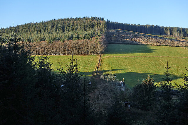
Muckle Black Hill offers breathtaking views of the surrounding countryside and is a popular destination for outdoor enthusiasts and hikers. The hill is known for its distinctive shape, with a gentle slope on one side and steeper gradients on the other. This makes it an ideal location for both leisurely walks and more challenging climbs.

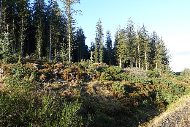
The hill is covered in heather, providing a vibrant purple carpet during the summer months. It is also home to a diverse range of wildlife, including various bird species, deer, and small mammals.

At the summit of Muckle Black Hill, there is a trig point, which serves as a navigational aid. From here, visitors can enjoy panoramic views of the surrounding landscape, including the Grampian Mountains to the west and the North Sea to the east.

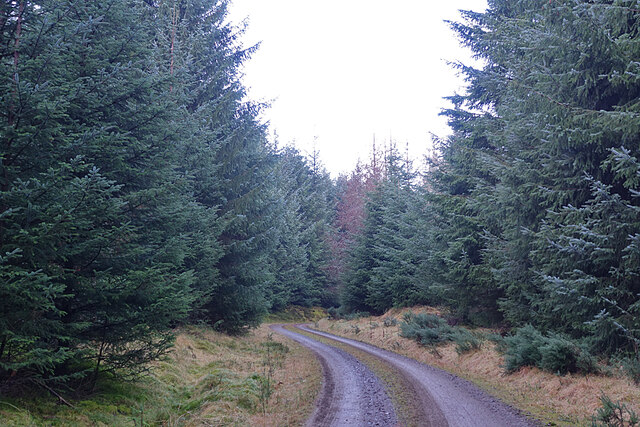
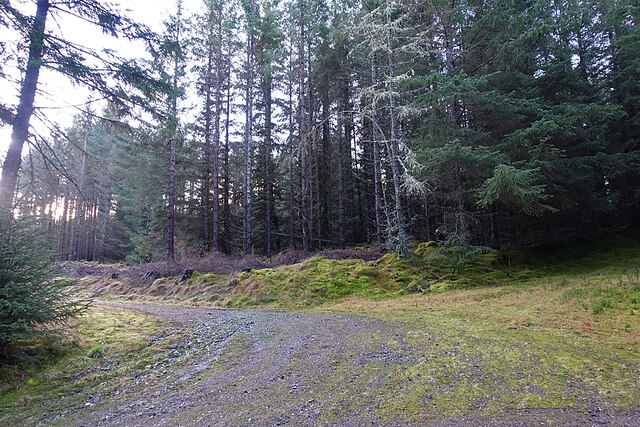
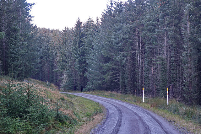
Muckle Black Hill is easily accessible, with several walking routes leading to its summit. It offers a peaceful and serene environment, making it a popular spot for those looking to escape the hustle and bustle of everyday life.

If you have any feedback on the listing, please let us know in the comments section below.

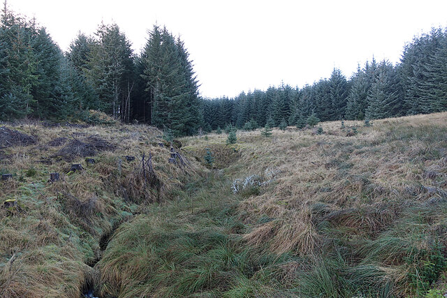
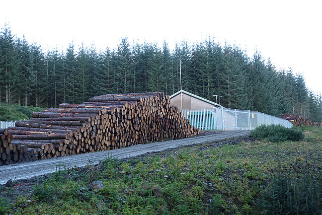
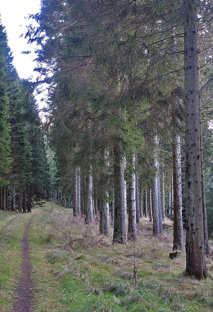
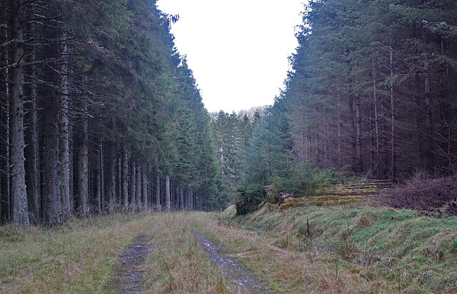
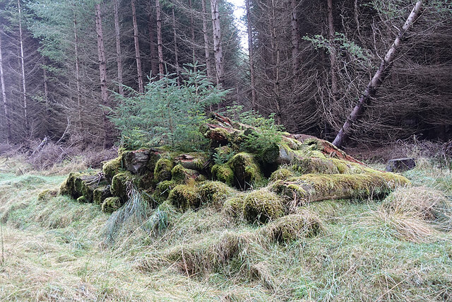
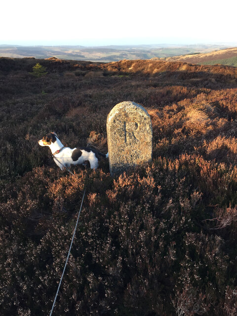
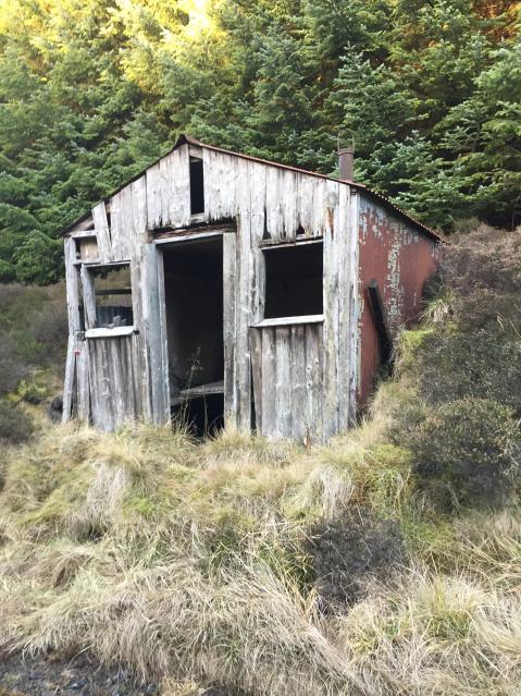
Muckle Black Hill Images

Images are sourced within 2km of 57.396689/-2.9259299 or Grid Reference NJ4434. Thanks to Geograph Open Source API. All images are credited.

Corrylair Corrylair itself is in the shadow of the Hill of Drumfergus, but the sun was on the slopes of Craigend Hill on the other side of the glen.
Corrylair
Corrylair itself is in the shadow of the Hill of Drumfergus, but the sun was on the slopes of Craigend Hill on the other side of the glen.
Forest Track The track winds its way through the dense plantations near Corrylair.
Forest Track
The track winds its way through the dense plantations near Corrylair.
Forest Track The track turns left and leads towards more open forest.
Forest Track
The track turns left and leads towards more open forest.
Forest Road The forest road approaches a junction not on the map we were using!
Forest Road
The forest road approaches a junction not on the map we were using!
Long Shadows It's only a quarter to one, but the sun is low enough to cast enormously long shadows on the forest road.
Long Shadows
It's only a quarter to one, but the sun is low enough to cast enormously long shadows on the forest road.
Forest Clearing This felled area is in the fork of a road junction.
Forest Clearing
This felled area is in the fork of a road junction.
Harvested Trees Piles of cut trunks waiting to be taken out of the forest.
Harvested Trees
Piles of cut trunks waiting to be taken out of the forest.
Marker Posts The yellow-topped white posts, one on each side of any spot where a forest worker might be tempted to deploy a digger, warn that the cables carrying the power from the nearby wind farm are buried alongside the road here, and that it would not be a good idea to dig them up.
Marker Posts
The yellow-topped white posts, one on each side of any spot where a forest worker might be tempted to deploy a digger, warn that the cables carrying the power from the nearby wind farm are buried alongside the road here, and that it would not be a good idea to dig them up.
Log Piles Large quantities of harvested logs awaiting transport out of the forest.
Log Piles
Large quantities of harvested logs awaiting transport out of the forest.
Forestry Operations The road approaches a recently felled area, where we could hear but not see forest machinery in operation.
Forestry Operations
The road approaches a recently felled area, where we could hear but not see forest machinery in operation.
Long Slouch According to the maps the burn in the gully to the left is called Long Slouch. The trees on the slope have been recently been felled and are waiting to be brought down to the road for transport out of the forest.
Long Slouch
According to the maps the burn in the gully to the left is called Long Slouch. The trees on the slope have been recently been felled and are waiting to be brought down to the road for transport out of the forest.
Black Burn The Black Burn, on the left of this clearing, is one of several headwaters of the Burn of Tillathrowie.
Black Burn
The Black Burn, on the left of this clearing, is one of several headwaters of the Burn of Tillathrowie.
Electricity Sub Station This building in the middle of the forest is labelled ESS on the maps, which I take to mean that it is an electricity sub-station associated with the underground power lines from the wind farm a few miles away. It has been built since <a href="https://www.geograph.org.uk/photo/1232019">NJ4535 : Forest Crossroads</a> was taken 11 years earlier.
Electricity Sub Station
This building in the middle of the forest is labelled ESS on the maps, which I take to mean that it is an electricity sub-station associated with the underground power lines from the wind farm a few miles away. It has been built since NJ4535 : Forest Crossroads was taken 11 years earlier.
Forest Track The map shows the track continuing down to emerge from the forest above the Burn of Tillathrowie. The trees here are well-grown and have evidently been thinned so they are not growing too close together.
Forest Track
The map shows the track continuing down to emerge from the forest above the Burn of Tillathrowie. The trees here are well-grown and have evidently been thinned so they are not growing too close together.
Forest Track We chose the lower track here, rather than the one passing Corshellach, because we hoped that it would bring us out of the forest near Wester Tillathrowie.
Forest Track
We chose the lower track here, rather than the one passing Corshellach, because we hoped that it would bring us out of the forest near Wester Tillathrowie.
Log Pile This log pile has obviously escaped the attentions of the forestry workers and has been left to decompose instead of being taken out of the forest to be used.
Log Pile
This log pile has obviously escaped the attentions of the forestry workers and has been left to decompose instead of being taken out of the forest to be used.
Boundary stone near Grumack Hill trig point
Old Shooting Hut On the way to Grumack Hill
Old Shooting Hut
On the way to Grumack Hill
Show me another place!

Muckle Black Hill is located at Grid Ref: NJ4434 (Lat: 57.396689, Lng: -2.9259299)

Unitary Authority: Aberdeenshire

Police Authority: North East

What 3 Words

///ringside.skirting.parrot. Near Huntly, Aberdeenshire

Nearby Locations

Muckle Black Hill

Related Wikis

Beldorney Castle

Beldorney Castle is a Z-plan castle dating from the mid-16th century, about two miles south of Glass, in hilly country in the valley of the Deveron, in...

Wormy Hillock Henge

Wormy Hillock Henge, also known as The Dragon's Grave, is a small henge in Aberdeenshire, Scotland. It is a Scheduled Ancient Monument located in the Clashindarroch...

Glass, Aberdeenshire

Glass is a parish about 8 miles west of Huntly, Aberdeenshire, Scotland. It is now wholly located in Aberdeenshire but before the reorganisation of Scottish...

Kye Hill

Kye Hill is a hill by Huntly, Aberdeenshire, Scotland. It lies southwest of The Clashmach hill and is nearly the same height. There is a former limestone...

Have you been to Muckle Black Hill?

Leave your review of Muckle Black Hill below (or comments, questions and feedback).