Saughy Hill

Hill, Mountain in Roxburghshire

Scotland

Saughy Hill

Colterscleuch Shiel (remains) Former shepherds cottage, demolished for safety reasons
Colterscleuch Shiel (remains) Credit: John Tullie

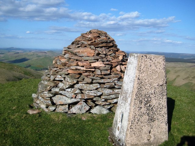
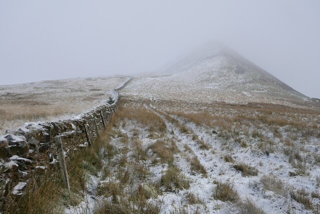
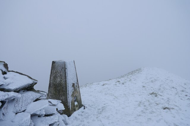
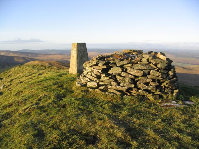
Saughy Hill, located in Roxburghshire, is a prominent hill situated in the southern region of Scotland. With an elevation of approximately 268 meters (879 feet), it falls under the classification of a hill rather than a mountain. The hill is situated within the beautiful Scottish Borders, an area renowned for its picturesque landscapes and rich history.

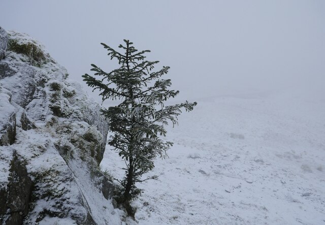
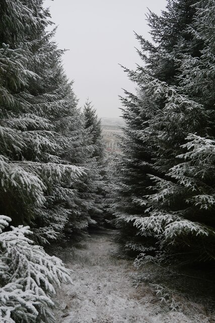
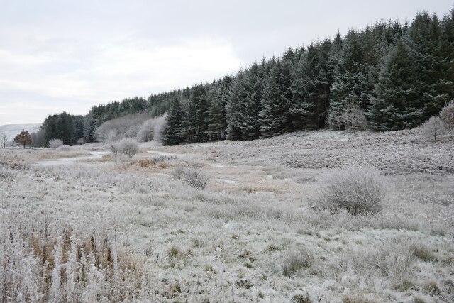
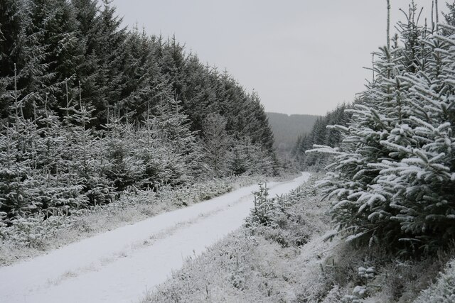
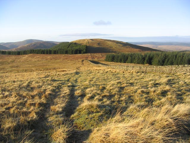
Saughy Hill offers breathtaking panoramic views of the surrounding countryside. From its summit, visitors can marvel at the rolling hills, lush green valleys, and meandering rivers that characterize this part of Scotland. The hill is covered in a patchwork of fields and woodlands, creating a scenic and diverse landscape.

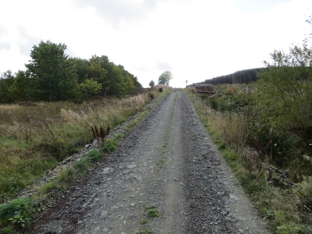
The hill is easily accessible by foot, with several walking trails leading to the summit. The route to the top is relatively gentle, making it suitable for hikers of all levels of experience. Along the way, walkers can encounter an abundance of wildlife, including various bird species, rabbits, and deer.

Saughy Hill holds historical significance as well. It is believed that the hill was once home to an ancient settlement, although little evidence remains today. The area surrounding the hill is dotted with remnants of old stone walls and earthworks, hinting at its historical importance.

Overall, Saughy Hill offers visitors the chance to immerse themselves in the natural beauty of the Scottish Borders. With its stunning views, diverse wildlife, and a touch of history, it is a must-visit destination for nature enthusiasts and history buffs alike.

If you have any feedback on the listing, please let us know in the comments section below.
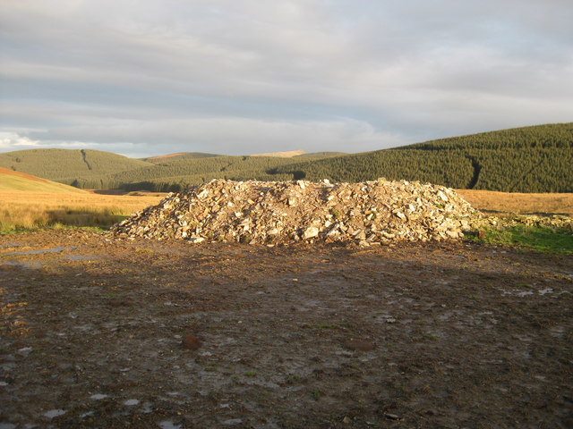
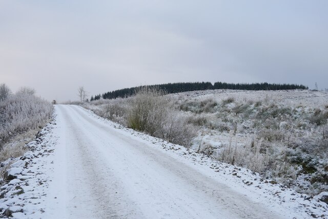
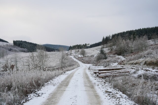
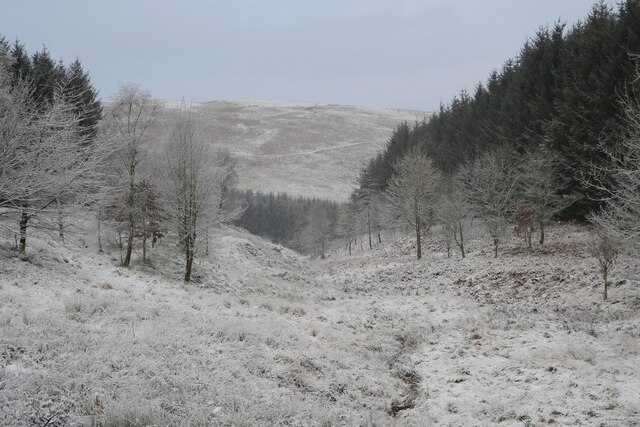
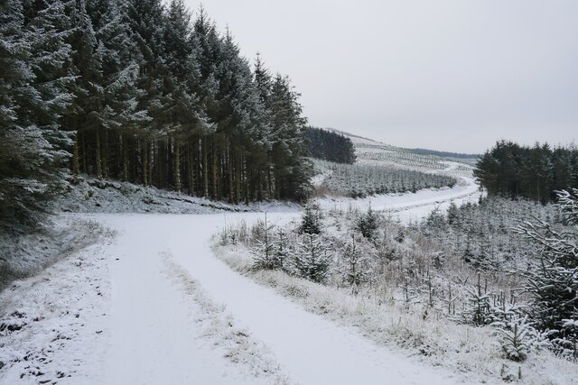
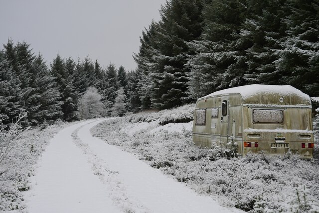
Saughy Hill Images

Images are sourced within 2km of 55.33647/-2.8842102 or Grid Reference NT4405. Thanks to Geograph Open Source API. All images are credited.

Colterscleuch Shiel (remains) Former shepherds cottage, demolished for safety reasons
Colterscleuch Shiel (remains)
Former shepherds cottage, demolished for safety reasons
Plantation on Inner Hill There is far more woodland on the left side of the road.
Plantation on Inner Hill
There is far more woodland on the left side of the road.
Skelfhill Pen Summit Cairn The summit cairn on Skelfhill Pen recently built to its full glory
Skelfhill Pen Summit Cairn
The summit cairn on Skelfhill Pen recently built to its full glory
Forest track giving access to Alderybar Looking south-westward from Old Northhouse.
Forest track giving access to Alderybar
Looking south-westward from Old Northhouse.
Skelfhill Pen - Trig Point & Cairn No view today.
Skelfhill Pen - Trig Point & Cairn
No view today.
Heading to Alderybar A track leading to the isolated Alderybar and is travelled here as the route to Skelfhill Pen.
Heading to Alderybar
A track leading to the isolated Alderybar and is travelled here as the route to Skelfhill Pen.
A frosted forestry road Recent logging operations have taken place by the track on the slopes of Staney Hill.
A frosted forestry road
Recent logging operations have taken place by the track on the slopes of Staney Hill.
Bar Sike A small break in commercial forestry through which the Bar Sike flows.
Bar Sike
A small break in commercial forestry through which the Bar Sike flows.
Not quite the end of the track Whilst this point is the furthest extent of the forestry track shown on the 1:25k map, in reality the track has been extensively lengthened to facilitate Far Height and Knowes Head being planted up further to the west.
Not quite the end of the track
Whilst this point is the furthest extent of the forestry track shown on the 1:25k map, in reality the track has been extensively lengthened to facilitate Far Height and Knowes Head being planted up further to the west.
A disused caravan deep in the forest This caravan has possibly been used by forestry workers, but not for a considerable time: unused food inside has a best before date from 2014.
A disused caravan deep in the forest
This caravan has possibly been used by forestry workers, but not for a considerable time: unused food inside has a best before date from 2014.
A view to Skelfhill Pen Prolonged sleet and snow showers together with freezing fog made for less-than-ideal conditions to head up Skelfhill Pen.
A view to Skelfhill Pen
Prolonged sleet and snow showers together with freezing fog made for less-than-ideal conditions to head up Skelfhill Pen.
Stretching away to oblivion The broad, narrow summit of Skelfhill Pen appears to stretch away into oblivion.  Whilst the air temperature hovered around 0°C, with wind chill the temperature was brought down to -7°C.  No more than approximately 20 metres in front was seen at any point whilst at the summit of this prominent hill for around 30 minutes.
Stretching away to oblivion
The broad, narrow summit of Skelfhill Pen appears to stretch away into oblivion. Whilst the air temperature hovered around 0°C, with wind chill the temperature was brought down to -7°C. No more than approximately 20 metres in front was seen at any point whilst at the summit of this prominent hill for around 30 minutes.
Clinging on A self-seeded Sitka spruce clings on to an outcrop on the north side of Skelfhill Pen.
Clinging on
A self-seeded Sitka spruce clings on to an outcrop on the north side of Skelfhill Pen.
A break in the forest This break between forestry stands affords a view to further plantings in the distance.
A break in the forest
This break between forestry stands affords a view to further plantings in the distance.
A frosted pond in the forest This pond and marshland is to the east of Staney Hill, and just north of the isolated Alderybar.
A frosted pond in the forest
This pond and marshland is to the east of Staney Hill, and just north of the isolated Alderybar.
On a forestry track on the slopes of Harwood Rig A frosty spell in late November/early December makes the scene all the more picturesque.
On a forestry track on the slopes of Harwood Rig
A frosty spell in late November/early December makes the scene all the more picturesque.
The summit of Skelfhill Pen A trig point at 532m shares this narrow summit with a cairn on this distinctive Border hill.
The summit of Skelfhill Pen
A trig point at 532m shares this narrow summit with a cairn on this distinctive Border hill.
Following a track to Greatmoor Hill
Show me another place!

Saughy Hill is located at Grid Ref: NT4405 (Lat: 55.33647, Lng: -2.8842102)

Unitary Authority: The Scottish Borders

Police Authority: The Lothians and Scottish Borders

What 3 Words

///than.caressed.pipeline. Near Teviothead, Scottish Borders

Nearby Locations

Saughy Hill Staney Hill

Related Wikis

Teviothead

Teviothead (Scottish Gaelic: Ceann Tìbhiot) is a small village and civil parish in Teviotdale in the Scottish Borders, known locally as Teviotheid. It...

Caerlanrig

Caerlanrig - also spelled 'Carlenrig' - (Gaelic: Cathair Lannraig) is a hamlet in the parish of Cavers, Borders, Scotland, lying on the River Teviot, 6...

Broadhaugh

Broadhaugh is a hamlet in the Scottish Borders area of Scotland, in the parish of Teviothead, in former Roxburghshire. == See also == List of places in...

River Teviot

The River Teviot (; Scottish Gaelic: Abhainn Tìbhiot), or Teviot Water, is a river of the Scottish Borders area of Scotland, and is the largest tributary...

Nearby Amenities

Located within 500m of 55.33647,-2.8842102
Saughy Hill
Ele: 307
Natural: peak
Lat/Long: 55.336816/-2.8840043
The data included in this document is from www.openstreetmap.org. The data is made available under ODbL.

Have you been to Saughy Hill?

Leave your review of Saughy Hill below (or comments, questions and feedback).