Craig Hill

Hill, Mountain in Selkirkshire

Scotland

Craig Hill

Lodge, Ashiestiel House The lodge at the entrance to Ashiestiel House. Sir Walter Scott lived in the big house between 1804 and 1812 until he acquired Abbotsford.
Lodge, Ashiestiel House Credit: Jim Barton

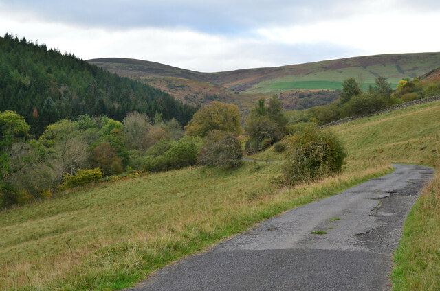
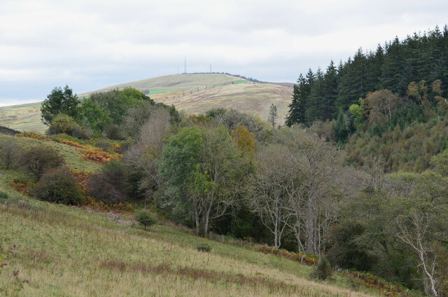
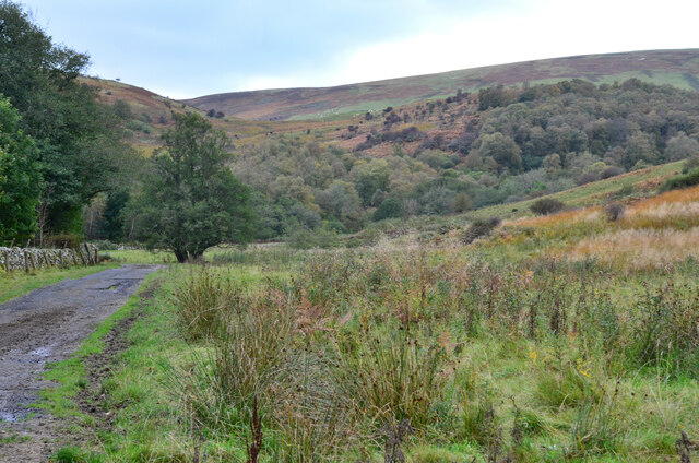
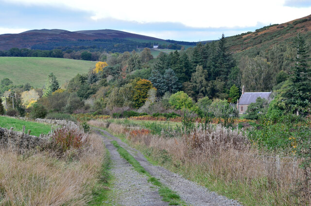
Craig Hill, located in Selkirkshire, is a prominent and picturesque hill that dominates the landscape with its commanding presence. Rising to an impressive height of 667 meters (2,188 feet), it offers breathtaking panoramic views of the surrounding countryside, making it a popular destination for hikers, nature enthusiasts, and photographers alike.

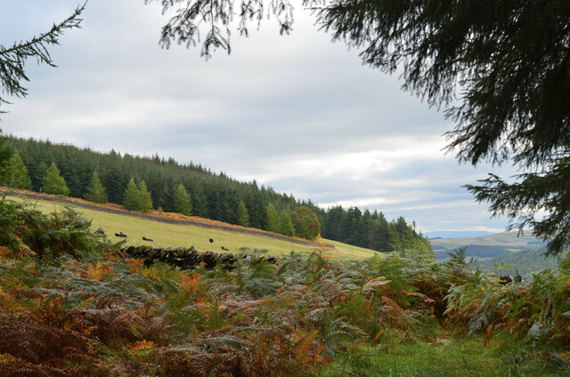
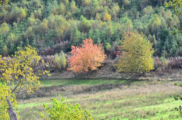
Situated in the southern part of Scotland, Craig Hill is part of the Southern Uplands range, which runs parallel to the border with England. It is renowned for its rugged beauty, characterized by steep slopes covered in heather, grasses, and scattered boulders. The hill's distinct shape, resembling a pyramid, adds to its allure and makes it easily recognizable from a distance.

The ascent to the summit of Craig Hill can be challenging but is immensely rewarding. Various well-defined paths and trails cater to different levels of expertise, ensuring that both seasoned hikers and casual walkers can enjoy the experience. Along the way, visitors can encounter diverse flora and fauna, including heathland birds, mountain hares, and occasionally red deer.

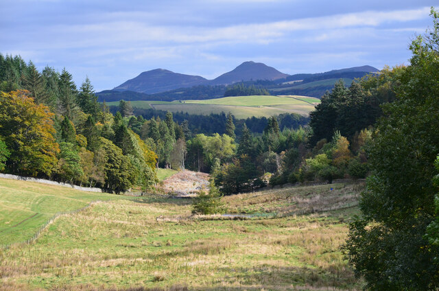
At the top of Craig Hill, visitors are greeted with breathtaking vistas that stretch for miles in every direction. On clear days, it is possible to see as far as the Cheviot Hills to the south and the Moffat Hills to the northwest. The hill also offers an ideal vantage point to appreciate the natural beauty of the Tweed Valley and the rolling hills of the Scottish Borders.

Overall, Craig Hill in Selkirkshire is an outstanding natural landmark, offering a rewarding outdoor experience for those seeking adventure, tranquility, and stunning views.

If you have any feedback on the listing, please let us know in the comments section below.
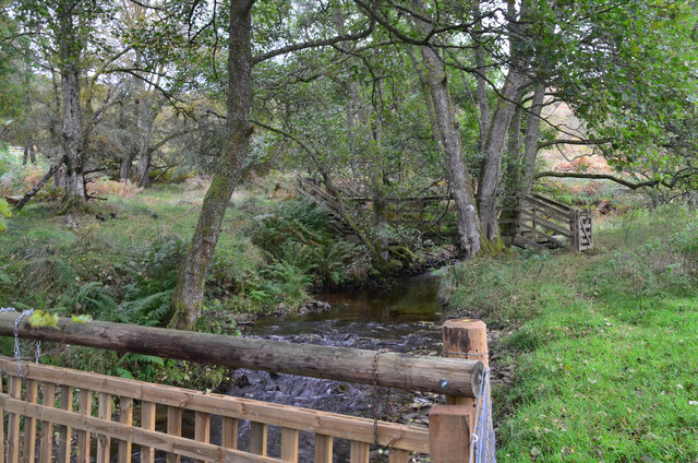
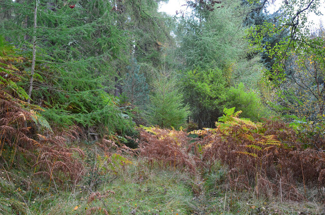
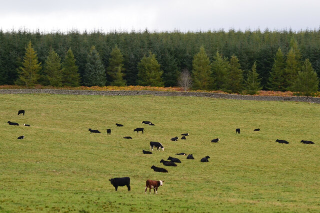
Craig Hill Images

Images are sourced within 2km of 55.594408/-2.8880671 or Grid Reference NT4433. Thanks to Geograph Open Source API. All images are credited.
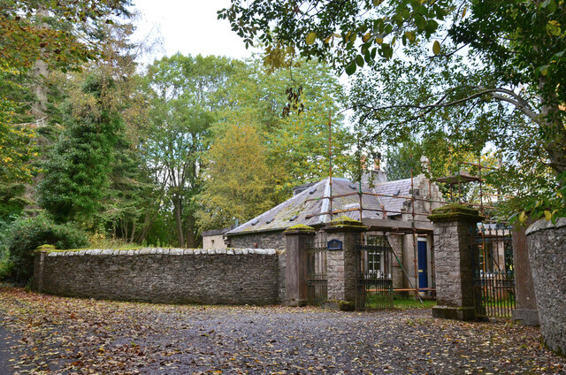
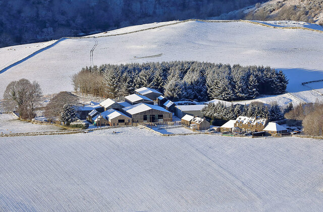
Lodge, Ashiestiel House The lodge at the entrance to Ashiestiel House. Sir Walter Scott lived in the big house between 1804 and 1812 until he acquired Abbotsford.
Lodge, Ashiestiel House
The lodge at the entrance to Ashiestiel House. Sir Walter Scott lived in the big house between 1804 and 1812 until he acquired Abbotsford.
Road to Williamhope farm Williamhope is about 3km from the public road, on hill land between Ashiestiel Hill and Broomy Law on the Minchmoor - Three Brethren ridge.
Road to Williamhope farm
Williamhope is about 3km from the public road, on hill land between Ashiestiel Hill and Broomy Law on the Minchmoor - Three Brethren ridge.
Valley of the Glenkinnon Burn Meigle Hill with its radio aerials is in the background.
Valley of the Glenkinnon Burn
Meigle Hill with its radio aerials is in the background.
Farm road by the Glenkinnon Burn The road to Williamhope passing flat marshy ground with the wooded hillside around Wolf Glen ahead.
Farm road by the Glenkinnon Burn
The road to Williamhope passing flat marshy ground with the wooded hillside around Wolf Glen ahead.
Footbridge over the Glenkinnon Burn A bridge connecting the farm road to Williamhope with paths and tracks in Yair Hill Forest. The fence in the foreground is relatively recent.

See also <a href="https://www.geograph.org.uk/photo/5755109">NT4233 : Footbridge over the Glenkinnon Burn</a> for a view from the other side.
Footbridge over the Glenkinnon Burn
A bridge connecting the farm road to Williamhope with paths and tracks in Yair Hill Forest. The fence in the foreground is relatively recent. See also NT4233 : Footbridge over the Glenkinnon Burn for a view from the other side.
Path to Yair Hope This thin path leads up from the footbridge over the Glenkinnon Burn and becomes more well-trodden once past the forest road a short distance to the east.
Path to Yair Hope
This thin path leads up from the footbridge over the Glenkinnon Burn and becomes more well-trodden once past the forest road a short distance to the east.
Emerging at Yair Hope The path through the forestry plantation reaches the edge of the hill pasture.
Emerging at Yair Hope
The path through the forestry plantation reaches the edge of the hill pasture.
Cattle at Yair Hope Yair Hope is now hill pasture supporting a herd of cattle. Compare with <a href="https://www.geograph.org.uk/photo/5755132">NT4333 : Ploughed area, Yair Hope</a> taken in 2018 when this area had been ploughed.
Cattle at Yair Hope
Yair Hope is now hill pasture supporting a herd of cattle. Compare with NT4333 : Ploughed area, Yair Hope taken in 2018 when this area had been ploughed.
Autumnal tree, Yair Hill Forest A tree standing out at the edge of the forest seen from Yair Hope.
Autumnal tree, Yair Hill Forest
A tree standing out at the edge of the forest seen from Yair Hope.
Valley of the Yair Burn Looking east from Yair Hope with the Eildon Hills providing a striking skyline.
Valley of the Yair Burn
Looking east from Yair Hope with the Eildon Hills providing a striking skyline.
Cottages on Yair estate On the road on the south side of the Yair Burn.
Cottages on Yair estate
On the road on the south side of the Yair Burn.
The walled garden at Yair The garden showing some attractive autumn colours.
The walled garden at Yair
The garden showing some attractive autumn colours.
Track near Caddonfoot The track follows the south bank of the Tweed between Yair Bridge and Ashiestiel Bridge. Caddonfoot Parish Church is in view across the river.
Track near Caddonfoot
The track follows the south bank of the Tweed between Yair Bridge and Ashiestiel Bridge. Caddonfoot Parish Church is in view across the river.
A fly agaric mushroom (Amanita muscaria) This mushroom which is usually associated with birch and pine trees is one of the easiest species to recognise.
A fly agaric mushroom (Amanita muscaria)
This mushroom which is usually associated with birch and pine trees is one of the easiest species to recognise.
A forestry track in Howlands Plantation
Marshy re-entrant
Marshy re-entrant
Yair House Built in 1788.
Source: ‘Yair House | Canmore’. 2022. Canmore.org.uk <<span class="nowrap"><a title="https://canmore.org.uk/site/54445/yair-house" rel="nofollow ugc noopener" href="https://canmore.org.uk/site/54445/yair-house">Link</a><img style="margin-left:2px;" alt="External link" title="External link - shift click to open in new window" src="https://s1.geograph.org.uk/img/external.png" width="10" height="10"/></span> > [accessed 1 November 2022]
Yair House
Built in 1788. Source: ‘Yair House | Canmore’. 2022. Canmore.org.uk <LinkExternal link > [accessed 1 November 2022]
Caddonlee Farm This telephoto shot was taken from Meigle Hill on a bitterly cold January day.
Caddonlee Farm
This telephoto shot was taken from Meigle Hill on a bitterly cold January day.
Show me another place!

Craig Hill is located at Grid Ref: NT4433 (Lat: 55.594408, Lng: -2.8880671)

Unitary Authority: The Scottish Borders

Police Authority: The Lothians and Scottish Borders

What 3 Words

///feasted.discount.grove. Near Galashiels, Scottish Borders

Related Wikis

Caddonlee

Caddonlee is a farm in the village of Clovenfords in the Scottish Borders area of Scotland, by the Caddon Water, near Caddonfoot where Caddon Water meets...

Caddon Water

The Caddon Water (Scottish Gaelic: Cadan) is a small river by the village of Caddonfoot, in the Scottish Borders area of Scotland. It rises on Windlestraw...

Peel Hospital

Peel Hospital was a health facility at Caddonfoot in the Scottish Borders, Scotland. It is a Category A Listed Building. == History == Peel House was designed...

Caddonfoot

Caddonfoot (Scottish Gaelic: Bun Chadain) is a village on the River Tweed, in the Scottish Borders area of Scotland, on the A707, near Galashiels. The...

Nearby Amenities

Located within 500m of 55.594408,-2.8880671
Craig Hill
Ele: 382
Natural: peak
Lat/Long: 55.5946517/-2.887668
The data included in this document is from www.openstreetmap.org. The data is made available under ODbL.

Have you been to Craig Hill?

Leave your review of Craig Hill below (or comments, questions and feedback).