Black Height

Hill, Mountain in Roxburghshire

Scotland

Black Height

Moorland fences at Stanygill Rig
Moorland fences at Stanygill Rig Credit: Alan Reid

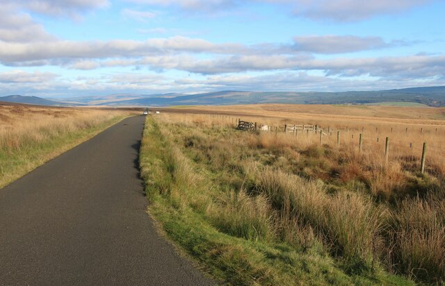
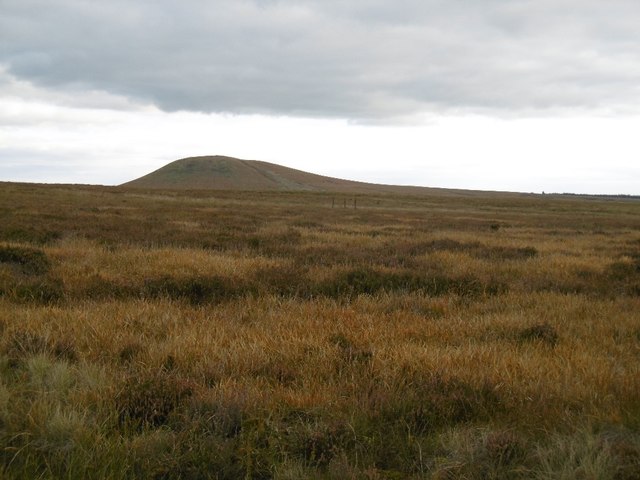
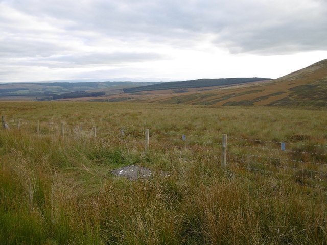
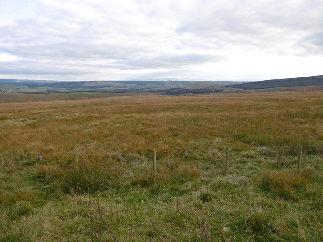
Black Height is a prominent hill located in Roxburghshire, in the Scottish Borders region of Scotland. It is part of the Cheviot Hills range and stands at an elevation of approximately 611 meters (2004 feet) above sea level. The hill is known for its rugged terrain, with steep slopes and rocky outcrops that make it a challenging but rewarding climb for outdoor enthusiasts.

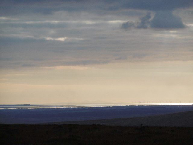
Black Height offers stunning panoramic views of the surrounding countryside, including the rolling hills of Roxburghshire and the Cheviot Hills to the south. On a clear day, it is possible to see as far as the North Sea coast and the Scottish Lowlands from the summit of the hill. The area is also rich in wildlife, with opportunities to spot birds of prey such as buzzards and kestrels, as well as deer and other small mammals.

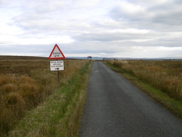
The hill is a popular destination for hikers and climbers, with several well-marked trails leading to the summit. It is also a favorite spot for picnicking and nature watching, with many visitors drawn to its peaceful and unspoiled beauty. Overall, Black Height offers a unique and rewarding outdoor experience for those looking to explore the natural beauty of Roxburghshire.

If you have any feedback on the listing, please let us know in the comments section below.
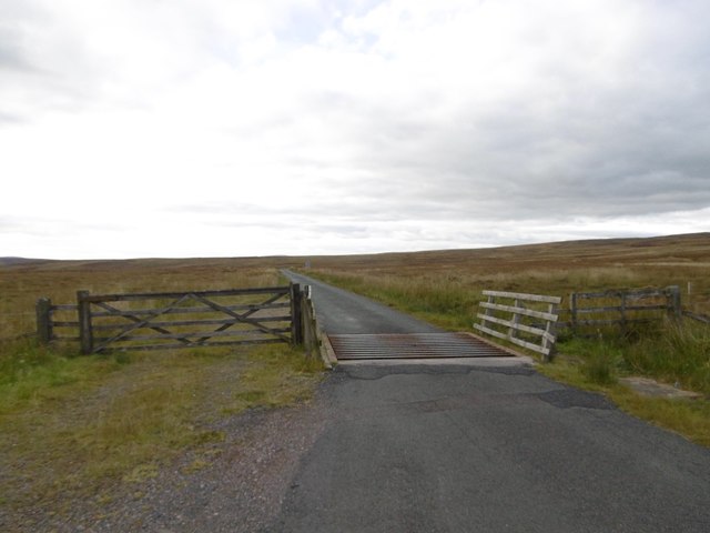
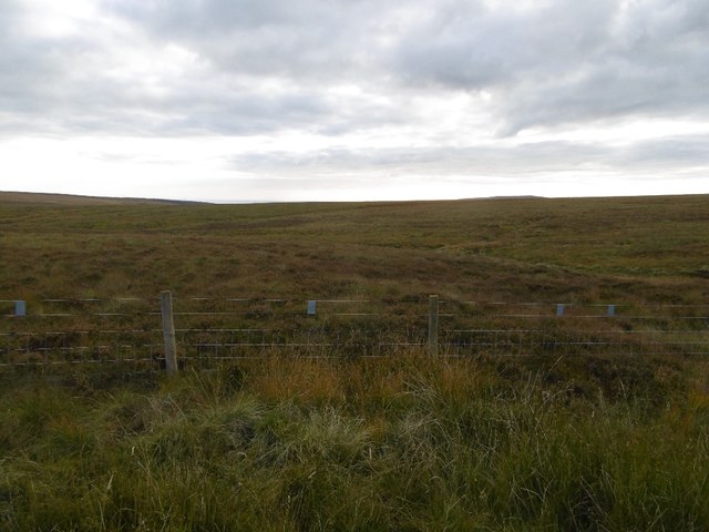
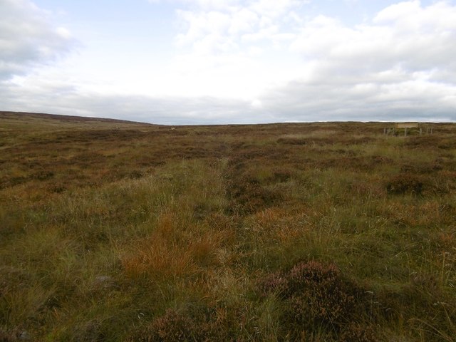
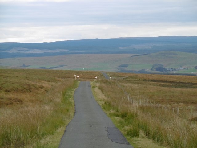
Black Height Images

Images are sourced within 2km of 55.180778/-2.8789998 or Grid Reference NY4487. Thanks to Geograph Open Source API. All images are credited.

Moorland fences at Stanygill Rig
Loch Knowe Langholm Moor near the march.
Loch Knowe
Langholm Moor near the march.
Burrowstown Moss View towards the bing like Tinnis Hill over Langholm Moor.
Burrowstown Moss
View towards the bing like Tinnis Hill over Langholm Moor.
Langholm Moor road The summit and Roxburghshire/Dumfriesshire boundary.
Langholm Moor road
The summit and Roxburghshire/Dumfriesshire boundary.
Solway view from Langholm Moor A very clear day with a clear view of the Isle of Man and Solway wind farm from as far east as within Roxburghshire.
Solway view from Langholm Moor
A very clear day with a clear view of the Isle of Man and Solway wind farm from as far east as within Roxburghshire.
Cattle grid, Langholm Moor A summit on the road between Langholm and Newcastleton. There were views as far as Cross Fell and the Isle of Man.
Cattle grid, Langholm Moor
A summit on the road between Langholm and Newcastleton. There were views as far as Cross Fell and the Isle of Man.
Langholm Moor by Tinnis Bridge
Langholm Moor by Tinnis Bridge View past one of the butts, typical of many squares around here.
Langholm Moor by Tinnis Bridge
View past one of the butts, typical of many squares around here.
Langholm to Newcastleton road View down to Liddesdale taken on the descent from Langholm Moor.
Langholm to Newcastleton road
View down to Liddesdale taken on the descent from Langholm Moor.
Moorland above the Tinnis Burn View along the Pennines towards a distant Cross Fell from the moors above Newcastleton.
Moorland above the Tinnis Burn
View along the Pennines towards a distant Cross Fell from the moors above Newcastleton.
Moorland, Stanygill Rig Moorland above Newcastleton.
Moorland, Stanygill Rig
Moorland above Newcastleton.
Black Height Moorland above Newcastleton.
Black Height
Moorland above Newcastleton.
Moorland above Newcastleton View across Liddesdale towards Glendhu Hill in England.
Moorland above Newcastleton
View across Liddesdale towards Glendhu Hill in England.
Moorland above Newcastleton Very rough ground between Ewesdale and Liddesdale.
Moorland above Newcastleton
Very rough ground between Ewesdale and Liddesdale.
Moorland above Newcastleton Old peat workings.
Moorland above Newcastleton
Old peat workings.
Loch Knowe
Loch Knowe
Moorland bridge This small bridge on the unclassified road between Newcastleton and Langholm spans Green Burn.
Moorland bridge
This small bridge on the unclassified road between Newcastleton and Langholm spans Green Burn.
Moorland fence This fence runs from the unclassified road between Newcastleton and Langholm up to Black Height.
Moorland fence
This fence runs from the unclassified road between Newcastleton and Langholm up to Black Height.
Show me another place!

Black Height is located at Grid Ref: NY4487 (Lat: 55.180778, Lng: -2.8789998)

Unitary Authority: The Scottish Borders

Police Authority: The Lothians and Scottish Borders

What 3 Words

///shadowed.shepherdess.optimally. Near Langholm, Dumfries & Galloway

Nearby Locations

Black Height

Related Wikis

Ettleton

Ettleton is a village near Castleton, in the Scottish Borders area of Scotland, in the former Roxburghshire. == Etymology and history == Ettleton Parish...

Newcastleton

Newcastleton, also called Copshaw Holm, is a village in Liddesdale, the Scottish Borders, a few miles from the border with England, on the Liddel Water...

Newcastleton railway station

Newcastleton railway station served the village of Newcastleton, Scottish Borders, Scotland from 1862 to 1969 on the Border Union Railway. == History... ==

Castleton, Scottish Borders

Castleton (Scottish Gaelic: Baile Chaisteil) is a civil parish in the Scottish Borders area of Scotland, in the former Roxburghshire, in the extreme south...

Nearby Amenities

Located within 500m of 55.180778,-2.8789998
Black Height
Ele: 383
Natural: peak
Lat/Long: 55.1803007/-2.8775567
The data included in this document is from www.openstreetmap.org. The data is made available under ODbL.

Have you been to Black Height?

Leave your review of Black Height below (or comments, questions and feedback).