Clatto Hill

Hill, Mountain in Fife

Scotland

Clatto Hill

Nydie Caravan & Campsite
Nydie Caravan & Campsite Credit: Mark Anderson

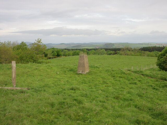
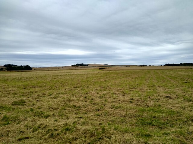
Clatto Hill is a prominent hill located in the county of Fife, Scotland. It is situated approximately 3 miles northwest of the town of Cupar and stands at an elevation of 222 meters (728 feet) above sea level. The hill is a notable landmark in the area and offers stunning panoramic views of the surrounding countryside.

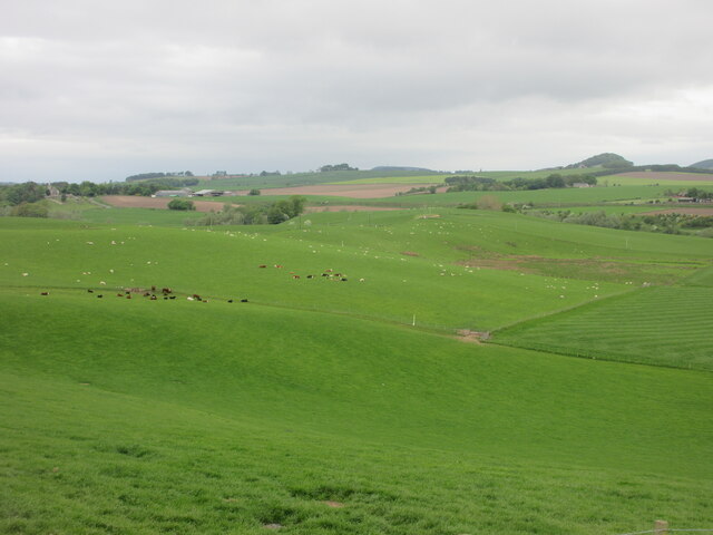
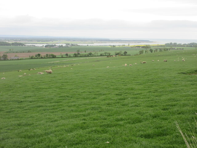
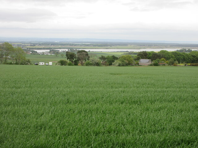
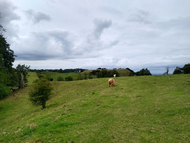
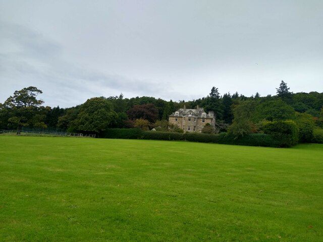
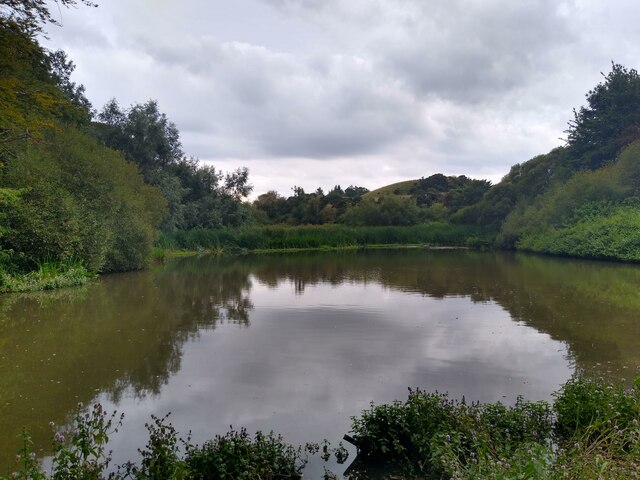
Covered in lush green vegetation, Clatto Hill is a popular destination for walkers, hikers, and nature enthusiasts. Its well-maintained trails provide visitors with easy access to explore its slopes and enjoy the tranquility of the natural surroundings. The hill is home to a variety of plant and animal species, making it a perfect spot for wildlife observation.

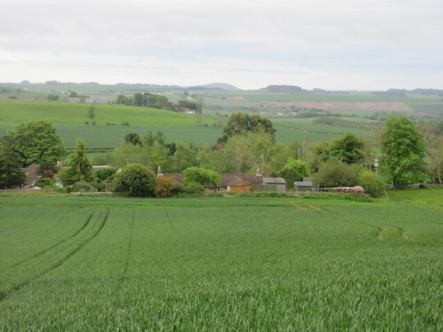
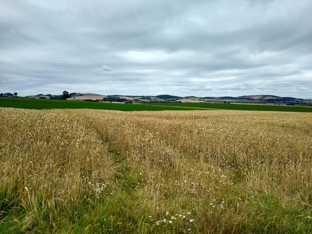
At the summit of Clatto Hill, visitors are rewarded with breathtaking views of the Fife countryside, including the picturesque town of Cupar and the distant Lomond Hills. On clear days, it is even possible to spot landmarks such as the world-renowned St Andrews and the glittering waters of the River Tay.

Clatto Hill is not only a natural paradise, but it also holds historical significance. The remains of an Iron Age hillfort can be found on its slopes, adding to its cultural and archaeological value. This hillfort is believed to have been occupied during the Early Iron Age, around 800 BC to 200 AD.

Overall, Clatto Hill is a beautiful and historically rich destination that offers visitors a chance to immerse themselves in the stunning landscapes of Fife while also exploring its ancient past.

If you have any feedback on the listing, please let us know in the comments section below.
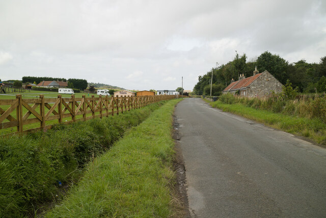
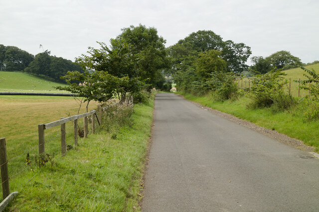
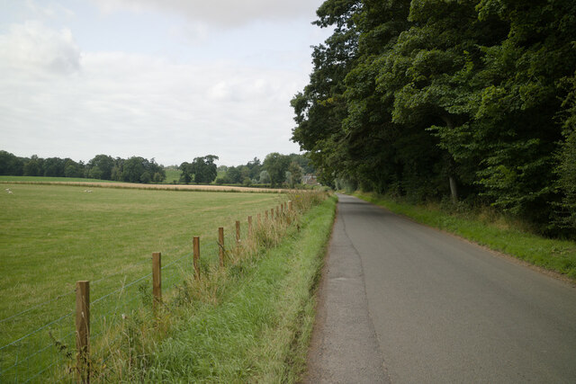
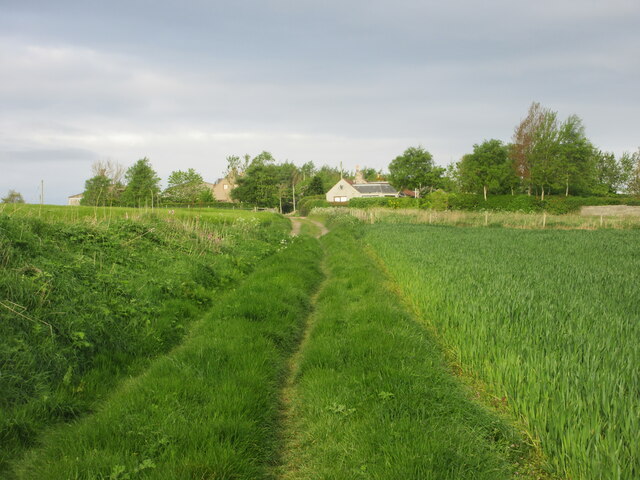
Clatto Hill Images

Images are sourced within 2km of 56.330477/-2.9131116 or Grid Reference NO4315. Thanks to Geograph Open Source API. All images are credited.

Nydie Caravan & Campsite
Road on Knock Hill
Road on Knock Hill
Road to Kinnaird Farm
Road to Dairsie Bridge
Old track heading for Clatto Looking west along the old track between Strathkinness and Clatto.
Old track heading for Clatto
Looking west along the old track between Strathkinness and Clatto.
Clatto Hill Trig Pillar The triangulation pillar on Clatto Hill, looking north-westwards.
Clatto Hill Trig Pillar
The triangulation pillar on Clatto Hill, looking north-westwards.
Victorian wallbox at Blebocraigs VR embossed post box next to the Old Post Office at Blebocraigs.
Victorian wallbox at Blebocraigs
VR embossed post box next to the Old Post Office at Blebocraigs.
Cottages near Blebocraigs Looking southwards towards cottages amidst woodland to the west of Blebocraigs.
Cottages near Blebocraigs
Looking southwards towards cottages amidst woodland to the west of Blebocraigs.
Kemback Parish Church Looking east to Kemback Church, with the war memorial to the right.
Kemback Parish Church
Looking east to Kemback Church, with the war memorial to the right.
Scattered cattle and sheep Looking westwards to fields of cattle and sheep to the south of Dairsie.
Scattered cattle and sheep
Looking westwards to fields of cattle and sheep to the south of Dairsie.
Sheep on the north slope of Clatto Hill Looking north-east over a field of sheep, with the Eden Estuary in the distance.
Sheep on the north slope of Clatto Hill
Looking north-east over a field of sheep, with the Eden Estuary in the distance.
Looking down from Knock Hill Looking north-east down a field near Knockhill, with the Eden Estuary in the distance.
Looking down from Knock Hill
Looking north-east down a field near Knockhill, with the Eden Estuary in the distance.
Hillocks before Loch Blebo This grassy hills, part of Blebo Estate, guard Loch Blebo from the south.
Hillocks before Loch Blebo
This grassy hills, part of Blebo Estate, guard Loch Blebo from the south.
Blebo House Seen from the impressively large grassland in front of the house.
Blebo House
Seen from the impressively large grassland in front of the house.
Loch Blebo This tiny loch, up for sale in September 2022, used to be a fishing pond, tucked away in the woodland around Blebo House. Nowadays it is in the process of turning into a miniature swampland. Somewhere in the reeds is still the boathouse seen in older maps.
Loch Blebo
This tiny loch, up for sale in September 2022, used to be a fishing pond, tucked away in the woodland around Blebo House. Nowadays it is in the process of turning into a miniature swampland. Somewhere in the reeds is still the boathouse seen in older maps.
Field near Nydie A mature cereal field near the farm Nydie Mains.
Field near Nydie
A mature cereal field near the farm Nydie Mains.
Road to Newton of Nydie A very minor road leads to Newton of Nydie and not much further.
Road to Newton of Nydie
A very minor road leads to Newton of Nydie and not much further.
Knock Hill from the east Rough grassland, lots of it, which slopes gently towards the west. The 'hill', if we are allowed to call it that, is called Knock Hill.
Knock Hill from the east
Rough grassland, lots of it, which slopes gently towards the west. The 'hill', if we are allowed to call it that, is called Knock Hill.
Show me another place!

Clatto Hill is located at Grid Ref: NO4315 (Lat: 56.330477, Lng: -2.9131116)

Unitary Authority: Fife

Police Authority: Fife

What 3 Words

///crunchy.resemble.mourner. Near Balmullo, Fife

Related Wikis

Blebo Craigs

Blebo Craigs, or Blebocraigs is a village in rural Fife, Scotland. The village contains around one hundred houses on the south-facing slope of the hill...

Kemback

Kemback (Scottish Gaelic: Ceann Bac) is a village and parish in Fife, Scotland, located 2.5 miles (4.0 km) east of Cupar. The present village was developed...

Dairsie Bridge

Dairsie Bridge is a 16th-century stone bridge, located 1.2 kilometres (0.75 mi) south of Dairsie, in north-east Fife, Scotland. It carries a minor road...

Dairsie railway station

Dairsie railway station served the village of Dairsie, Fife, Scotland from 1848 to 1954 on the Edinburgh and Northern Railway. == History == The station...

Nearby Amenities

Located within 500m of 56.330477,-2.9131116
Clatto Hill
Ele: 168
Natural: peak
Lat/Long: 56.3304308/-2.9130138
Power: pole
Lat/Long: 56.327465/-2.9072278
Power: pole
Lat/Long: 56.3279195/-2.9083022
Power: pole
Lat/Long: 56.3283786/-2.9093599
Power: pole
Lat/Long: 56.3288377/-2.9104301
Power: pole
Lat/Long: 56.3301253/-2.9057374
Power: pole
Lat/Long: 56.3296823/-2.9054
Power: pole
Lat/Long: 56.3292939/-2.9163091
Power: pole
Lat/Long: 56.3293065/-2.917253
Power: pole
Lat/Long: 56.329326/-2.9186813
Power: pole
Lat/Long: 56.3289737/-2.9197681
Power: pole
Lat/Long: 56.3282782/-2.9199565
The data included in this document is from www.openstreetmap.org. The data is made available under ODbL.

Have you been to Clatto Hill?

Leave your review of Clatto Hill below (or comments, questions and feedback).