Easter Park Hill

Hill, Mountain in Roxburghshire

Scotland

Easter Park Hill

Branxholme Easter Loch A bull beside the water. The rest of the herd were nearby on rough grazing.
Branxholme Easter Loch Credit: Richard Webb

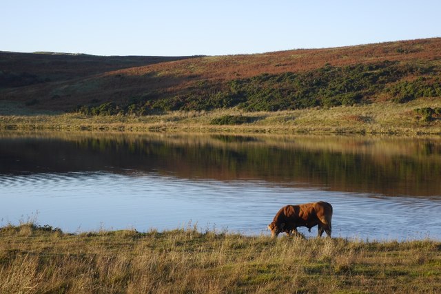
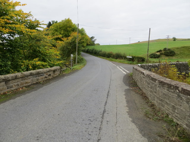
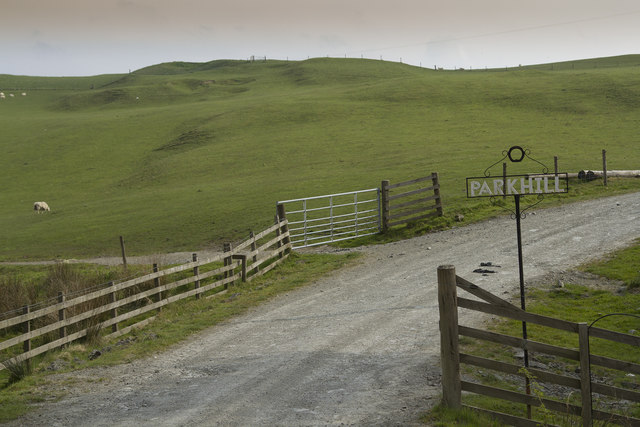
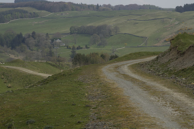
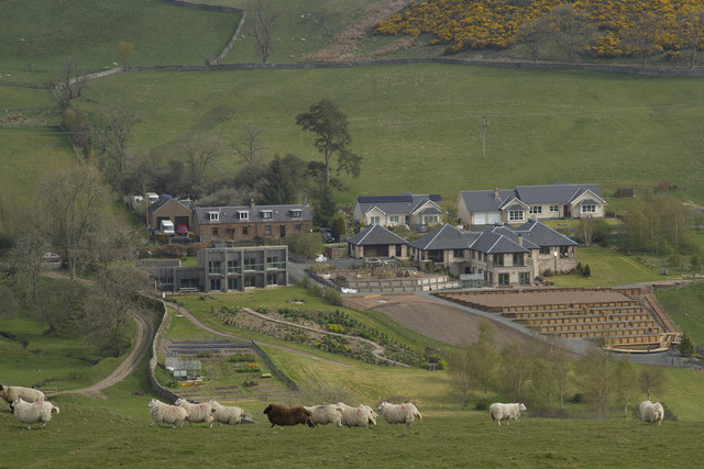
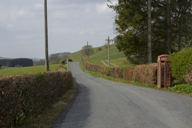
Easter Park Hill is a prominent hill located in Roxburghshire, a historic county in the Scottish Borders region of Scotland. Situated near the scenic town of Kelso, this hill stands at an elevation of approximately 245 meters (800 feet) above sea level. It is a popular destination for outdoor enthusiasts, hikers, and nature lovers due to its commanding views and tranquil surroundings.

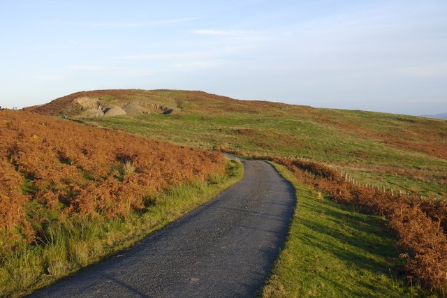
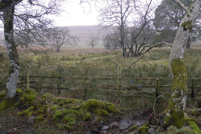
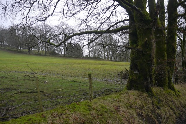
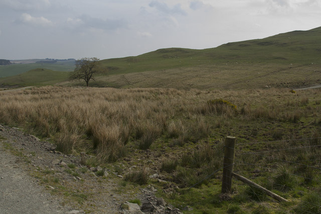
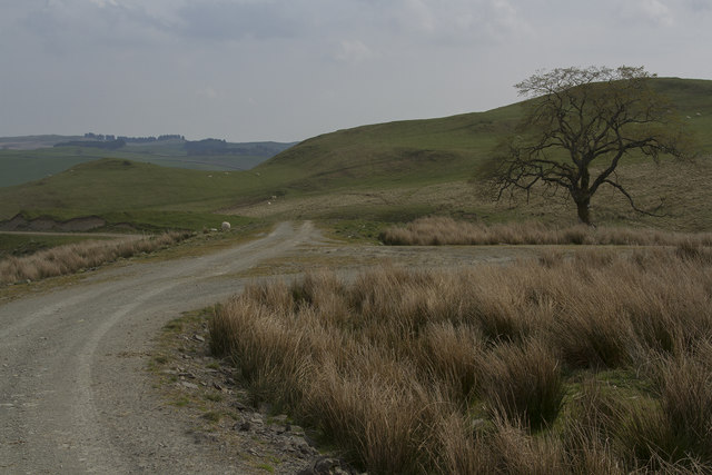
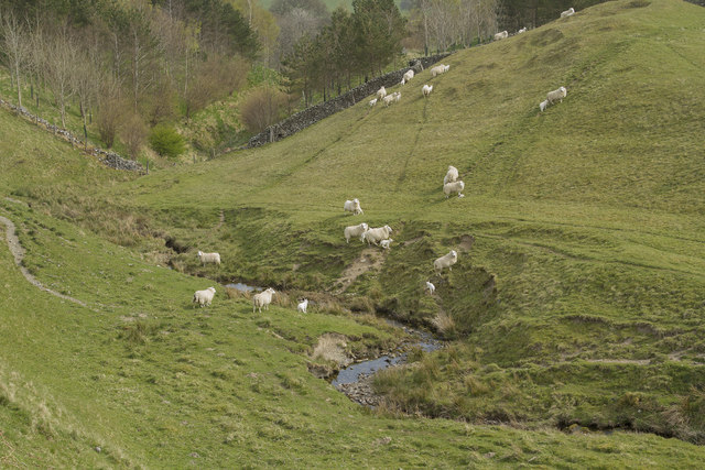
The hill is characterized by its gently sloping terrain and is covered in lush green grass, making it a pleasant place for leisurely walks and picnics. The summit of Easter Park Hill offers breathtaking panoramic vistas of the surrounding countryside, including the picturesque River Tweed that meanders through the landscape. On clear days, visitors can enjoy stunning views of the Cheviot Hills in the distance.

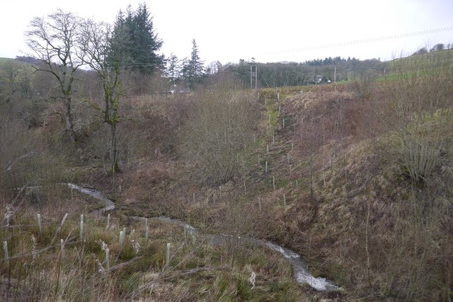
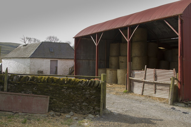
The area surrounding Easter Park Hill is rich in biodiversity, with a variety of flora and fauna thriving in the natural habitat. Visitors may encounter a diverse range of bird species, including songbirds and raptors, as well as small mammals such as rabbits and squirrels.

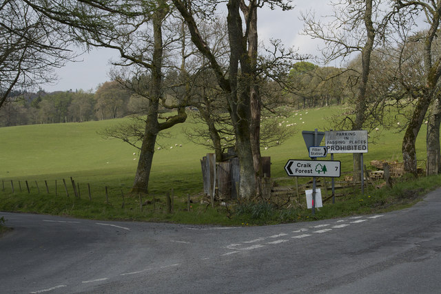
Access to Easter Park Hill is relatively easy, with a well-maintained footpath leading to the summit. The hill is a popular spot for local residents and tourists alike, who appreciate its natural beauty and tranquility. Whether it's a leisurely stroll or a challenging hike, Easter Park Hill offers a rewarding outdoor experience for all who visit.

If you have any feedback on the listing, please let us know in the comments section below.

Easter Park Hill Images

Images are sourced within 2km of 55.409214/-2.8962743 or Grid Reference NT4313. Thanks to Geograph Open Source API. All images are credited.

Branxholme Easter Loch A bull beside the water. The rest of the herd were nearby on rough grazing.
Branxholme Easter Loch
A bull beside the water. The rest of the herd were nearby on rough grazing.
Cold Fell A narrow gated road on the moor at Branxholme.
Cold Fell
A narrow gated road on the moor at Branxholme.
Ordnance Survey Flush Bracket G490 This can be found on the parapet wall of the road bridge at Howcleuch.
For more detail see : <span class="nowrap"><a title="http://www.bench-marks.org.uk/bm13078" rel="nofollow ugc noopener" href="http://www.bench-marks.org.uk/bm13078">Link</a><img style="margin-left:2px;" alt="External link" title="External link - shift click to open in new window" src="https://s1.geograph.org.uk/img/external.png" width="10" height="10"/></span>
Ordnance Survey Flush Bracket G490
This can be found on the parapet wall of the road bridge at Howcleuch. For more detail see : LinkExternal link
Road (B711) and Bridge at Howcleuchshiel Looking eastward.
Road (B711) and Bridge at Howcleuchshiel
Looking eastward.
Road (B711) at Harden Bridge Looking westward.
Road (B711) at Harden Bridge
Looking westward.
Wet woodland, Roberton Scattered trees in marshy ground beside the road to Ashkirk.
Wet woodland, Roberton
Scattered trees in marshy ground beside the road to Ashkirk.
Field, Howcleuchshiel
Glen Burn, Roberton
Glen Burn, Roberton
Chisholme hamlet This large house has several yourts in its grounds. It seems to be a place where you can live for a while to find yourself. There are a few other smaller houses in the hamlet.
Chisholme hamlet
This large house has several yourts in its grounds. It seems to be a place where you can live for a while to find yourself. There are a few other smaller houses in the hamlet.
The entrance to Parkhill Farm Parkhill Farm seems to be mainly pastoral, with a large number of sheep and some cattle. The cattle were all close to the farm buildings, whereas the sheep were scattered over several fields on the hillside.
The entrance to Parkhill Farm
Parkhill Farm seems to be mainly pastoral, with a large number of sheep and some cattle. The cattle were all close to the farm buildings, whereas the sheep were scattered over several fields on the hillside.
Parkhill Farm buildings The barn, half full of bales, with other buildings in the background.
Parkhill Farm buildings
The barn, half full of bales, with other buildings in the background.
Moorland and fields of Parkhill farm It is not clear where the land for Parkhill ends but I think this grassland and moorland is part of that far,
Moorland and fields of Parkhill farm
It is not clear where the land for Parkhill ends but I think this grassland and moorland is part of that far,
The track forks The track is part of the Reivers Way and if you go straight ahead you will get to Roberton.
The track forks
The track is part of the Reivers Way and if you go straight ahead you will get to Roberton.
The Reivers Path This path is well maintained. It has a stone surface and is good for walking and is also used by cyclists.
The Reivers Path
This path is well maintained. It has a stone surface and is good for walking and is also used by cyclists.
Sheep crossing a stream As soon as we appeared the sheep started to walk and run across the stream.
Sheep crossing a stream
As soon as we appeared the sheep started to walk and run across the stream.
New houses in Roberton Two stunning new houses in Roberton. As we look at them the left hand one is for sale. It is a large house with a lot of land and fishing rights so commands a good price.
New houses in Roberton
Two stunning new houses in Roberton. As we look at them the left hand one is for sale. It is a large house with a lot of land and fishing rights so commands a good price.
The road to Craik This is a single track road with passing places, hence the notice prohibiting parking in the Passing Places.
The road to Craik
This is a single track road with passing places, hence the notice prohibiting parking in the Passing Places.
A working Telephone Box The telephone box door does not close fully but the phone is in working order.
A working Telephone Box
The telephone box door does not close fully but the phone is in working order.
Show me another place!

Easter Park Hill is located at Grid Ref: NT4313 (Lat: 55.409214, Lng: -2.8962743)

Unitary Authority: The Scottish Borders

Police Authority: The Lothians and Scottish Borders

What 3 Words

///consented.wealth.breezy. Near Hawick, Scottish Borders

Related Wikis

Roberton, Scottish Borders

Roberton is a small village in the Scottish Borders area of Scotland, on the B711 and near to the A7, 5 miles (8 kilometres) from Hawick, 22 mi (35 km...

Burnfoot, Roberton

Burnfoot (Scottish Gaelic: Bun na h-Aibhne) is a hamlet in the Scottish Borders area of Scotland, close to Roberton, by the Borthwick Water. The nearest...

Harden Castle

Harden Castle is a 16th century tower house, about 3.5 miles (5.6 km) west of Hawick, Scottish Borders. It is alternatively known as Harden House or Harden...

Newmill-on-Teviot

Newmill-on-Teviot, commonly called Newmill, is a hamlet in the Scottish Borders, 7 kilometres (4.3 mi) south of Hawick on the River Teviot. The remains...

Branxholme Castle

Branxholme Castle is a five-storey tower at Branxholme, about 3 miles south-west of Hawick in the Borders region of Scotland. == History == The present...

Branxholme

Branxholme is a hamlet in the Scottish Borders area of Scotland, overlooking the River Teviot, three miles southwest of Hawick, on the A7 road to Langholm...

Borthwick Water

The Borthwick Water (Border Scots: Borthwick Witter) is a river in the Scottish Borders area of Scotland, and a tributary of the River Teviot. The Aithouse...

Broadhaugh

Broadhaugh is a hamlet in the Scottish Borders area of Scotland, in the parish of Teviothead, in former Roxburghshire. == See also == List of places in...

Nearby Amenities

Located within 500m of 55.409214,-2.8962743
Easter Park Hill
Natural: peak
Lat/Long: 55.4096254/-2.8963687
The data included in this document is from www.openstreetmap.org. The data is made available under ODbL.

Have you been to Easter Park Hill?

Leave your review of Easter Park Hill below (or comments, questions and feedback).