Roseberry Hill

Hill, Mountain in Fife

Scotland

Roseberry Hill

Grazing and cereal crop near Washer Willy's
Grazing and cereal crop near Washer Willy's Credit: JThomas

Roseberry Hill, also known as the "Sleeping Giant," is a prominent landmark located in Fife, Scotland. This hill, with an elevation of 1,500 feet (457 meters), lies about 6 miles west of the town of Cupar and is part of the Lomond Hills Regional Park.

Roseberry Hill offers breathtaking panoramic views of the surrounding countryside, making it a popular destination for hikers, nature enthusiasts, and photographers. The hill's distinctive shape, resembling a reclining giant, adds to its allure and has made it an iconic symbol of the region.

The ascent to the summit of Roseberry Hill can be challenging, with steep slopes and uneven terrain, but the effort is rewarded with magnificent vistas that stretch as far as the eye can see. On a clear day, visitors can admire the rolling hills of Fife, the Firth of Tay, and even glimpse the mountains of the Scottish Highlands in the distance.

The hill is also home to a diverse range of flora and fauna, including heather, gorse, and various bird species. Nature lovers can enjoy spotting wildlife and exploring the rich biodiversity of the area while wandering along the well-marked trails.

Roseberry Hill is an excellent destination for outdoor activities such as hiking, picnicking, and photography. It offers visitors a chance to escape the hustle and bustle of everyday life and immerse themselves in the natural beauty of Fife's countryside.

If you have any feedback on the listing, please let us know in the comments section below.

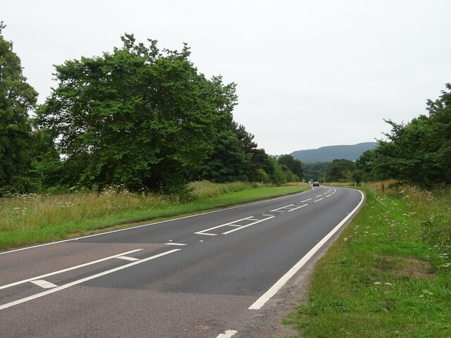
Roseberry Hill Images

Images are sourced within 2km of 56.427555/-2.9203988 or Grid Reference NO4326. Thanks to Geograph Open Source API. All images are credited.

Grazing and cereal crop near Washer Willy's
Grazing and woodland near Washer Willy's
Minor road towards Inverdovat
Lodge, Chesterhill
Lodge, Chesterhill
Grazing and woodland, Chesterhill
Minor road, Chesterhill Towards Inverdovat.
Minor road, Chesterhill
Towards Inverdovat.
Woodland near Inverdovat
Cottages, Inverdovat
Downhill towards the A92 Minor road from Inverdovat.
Downhill towards the A92
Minor road from Inverdovat.
Approaching Forgan Roundabout on the A92 Heading south.
Approaching Forgan Roundabout on the A92
Heading south.
Service station on the A92 near Forgan Roundabout
A92 towards Glenrothes Beware of falling rocks in the cutting.
Also beware of motorists telling cyclists that they have no right to be on their road.
A92 towards Glenrothes
Beware of falling rocks in the cutting. Also beware of motorists telling cyclists that they have no right to be on their road.
Fields towards Knockhill Wood
A92 towards Glenrothes
Grazing, St Fort Home Farm
A92, southbound Towards Glenrothes.
A92, southbound
Towards Glenrothes.
Benchmark on Kirk Street/Bridge Street, Newport on Tay Ordnance Survey benchmark, described on database at <span class="nowrap"><a title="https://www.bench-marks.org.uk/bm143012" rel="nofollow ugc noopener" href="https://www.bench-marks.org.uk/bm143012">Link</a><img style="margin-left:2px;" alt="External link" title="External link - shift click to open in new window" src="https://s1.geograph.org.uk/img/external.png" width="10" height="10"/></span>. See also <a href="https://www.geograph.org.uk/photo/6980756">NO4127 : Junction of Bridge Street and Kirk Street, Newport on Tay</a>.
Benchmark on Kirk Street/Bridge Street, Newport on Tay
Ordnance Survey benchmark, described on database at LinkExternal link. See also NO4127 : Junction of Bridge Street and Kirk Street, Newport on Tay.
Junction of Bridge Street and Kirk Street, Newport on Tay There is an Ordnance Survey benchmark on the wall to the right of the bin. See <a href="https://www.geograph.org.uk/photo/6980737">NO4127 : Benchmark on Kirk Street/Bridge Street, Newport on Tay</a>.
Junction of Bridge Street and Kirk Street, Newport on Tay
There is an Ordnance Survey benchmark on the wall to the right of the bin. See NO4127 : Benchmark on Kirk Street/Bridge Street, Newport on Tay.
Show me another place!

Roseberry Hill is located at Grid Ref: NO4326 (Lat: 56.427555, Lng: -2.9203988)

Unitary Authority: Fife

Police Authority: Fife

What 3 Words

///backup.infringe.middle. Near Newport-on-Tay, Fife

Related Wikis

Forgan (Fife)

Forgan is a civil parish in the Scottish county of Fife. It extends 4 miles in length along the north coast of Fife and is at the southern mouth of the...

Lady Leng Memorial Chapel

Lady Leng Memorial Chapel (also known as Vicarsford Cemetery Chapel) is a church building in Leuchars, Fife, Scotland. Built between 1895 and 1897, to...

Newport-on-Tay East railway station

Newport-on-Tay East railway station formerly served the town of Newport-on-Tay, Fife, Scotland. The station closed in 1969. == Tayport branch == Newport...

Newport-on-Tay West railway station

Newport-on-Tay West railway station served the town of Newport-on-Tay, Fife, Scotland, from 1879 to 1969 on the Newport Railway. == History == The station...
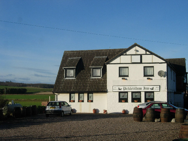
Pickletillum

Pickletillem or Pickletillum is a hamlet situated in Fife, Scotland. It is 9 miles (14 km) from the town of St. Andrews and 5.9 miles (9.5 km) from the...

Newport-on-Tay

Newport-on-Tay is a small town in the north-east of Fife in Scotland, acting as a commuter town for Dundee. The Fife Coastal Path passes through Newport...

Woodhaven, Fife

Woodhaven used to be a small village between Newport-on-Tay and Wormit in Fife, Scotland. Due to expansion of these two villages over the years, it is...

St Fort

St Fort (, , or ) is a rural area, largely in Forgan parish, Fife. The current form of the name is late eighteenth century, the origin being a sandy ford...

Nearby Amenities

Located within 500m of 56.427555,-2.9203988
Ford: yes
Lat/Long: 56.4307673/-2.9227794
Barrier: kissing_gate
Lat/Long: 56.431589/-2.9182804
Power: pole
Lat/Long: 56.423641/-2.917229
Power: pole
Lat/Long: 56.4245956/-2.9167855
Power: pole
Lat/Long: 56.4261071/-2.9170762
Power: pole
Lat/Long: 56.4268379/-2.9177565
Power: pole
Lat/Long: 56.4275754/-2.9184247
Power: pole
Lat/Long: 56.428293/-2.9174927
Power: pole
Lat/Long: 56.4287868/-2.9174867
Power: pole
Lat/Long: 56.4295448/-2.917478
Power: pole
Lat/Long: 56.4304293/-2.917478
Power: pole
Lat/Long: 56.4308525/-2.9166086
Material: wood
Power: pole
Lat/Long: 56.4268668/-2.9271485
Material: wood
Power: pole
Lat/Long: 56.4264054/-2.92566
Material: wood
Power: pole
Lat/Long: 56.4230776/-2.9208503
Material: wood
Power: pole
Lat/Long: 56.4232601/-2.9196591
Material: wood
Power: pole
Lat/Long: 56.4234472/-2.9184679
Power: pole
Lat/Long: 56.425411/-2.9164341
The data included in this document is from www.openstreetmap.org. The data is made available under ODbL.

Have you been to Roseberry Hill?

Leave your review of Roseberry Hill below (or comments, questions and feedback).