Tinnis Hill

Hill, Mountain in Roxburghshire

Scotland

Tinnis Hill

Lush lichen growth in Tinnisburn Forest This section of Tinnisburn Forest had many trees exhibiting superb growths of lichens.  In the background, a small break between forestry coupes can be noted.

This photograph was taken during the Coronavirus (COVID-19) pandemic of 2020/21/22.
Lush lichen growth in Tinnisburn Forest Credit: James T M Towill

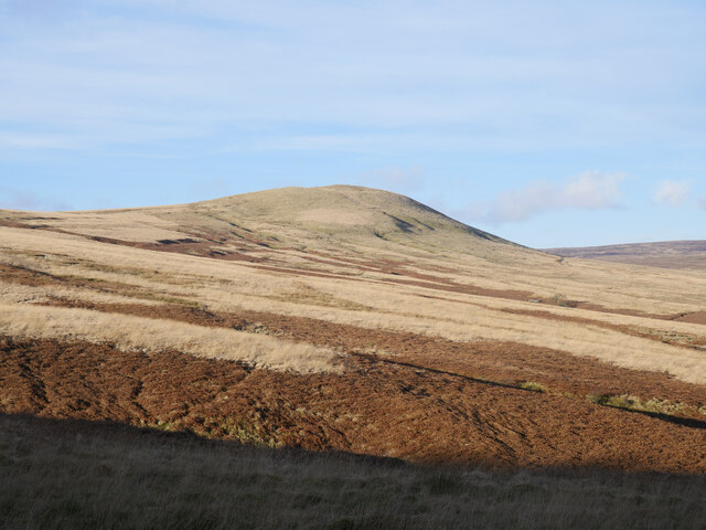
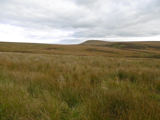
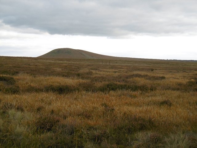
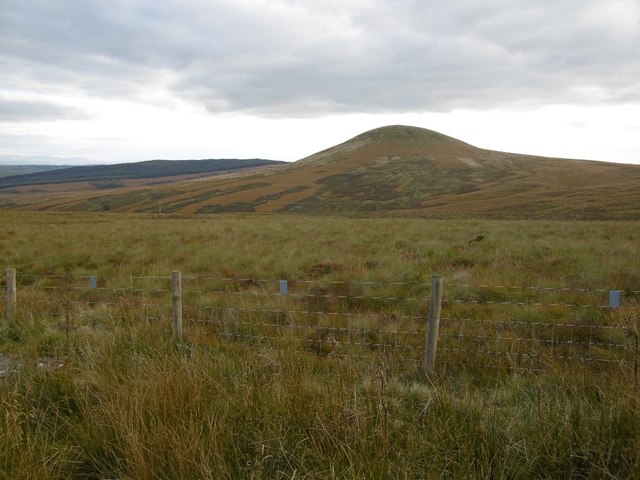
Tinnis Hill is a prominent hill located in the county of Roxburghshire in the Scottish Borders region of Scotland. With an elevation of 271 meters (889 feet), it is not classified as a mountain but rather a hill. Despite this, it still offers stunning panoramic views of the surrounding countryside.

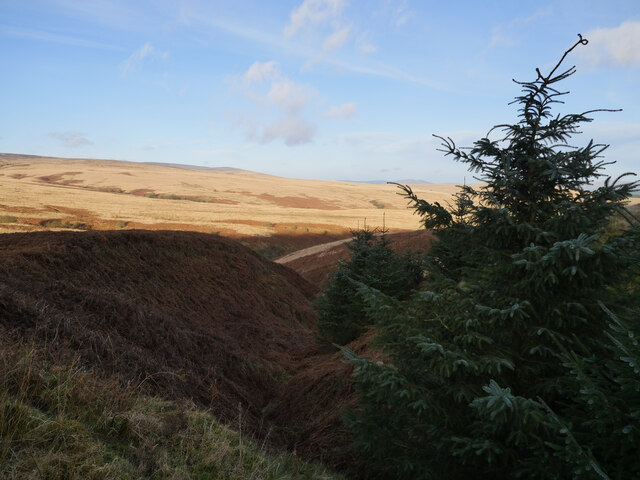
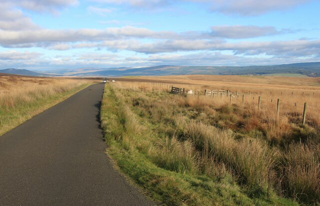
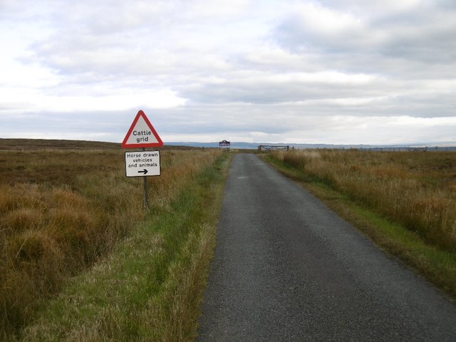
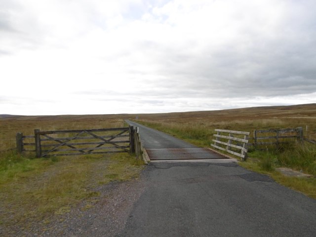
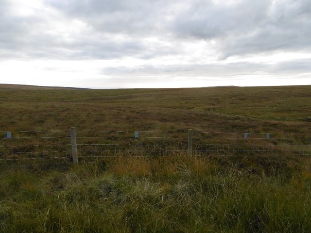
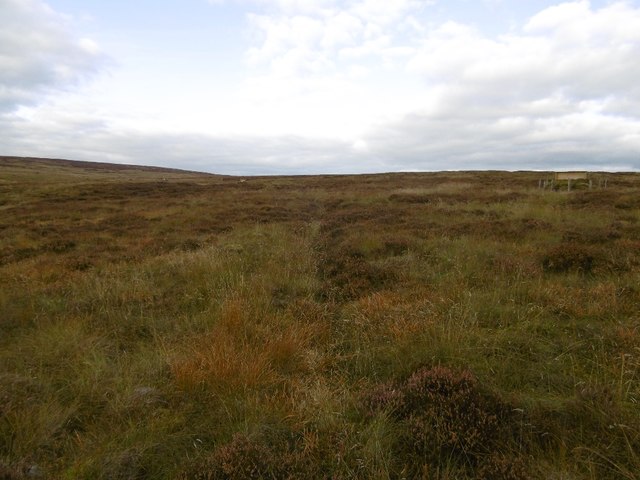
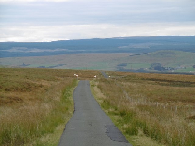
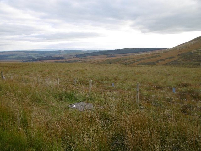
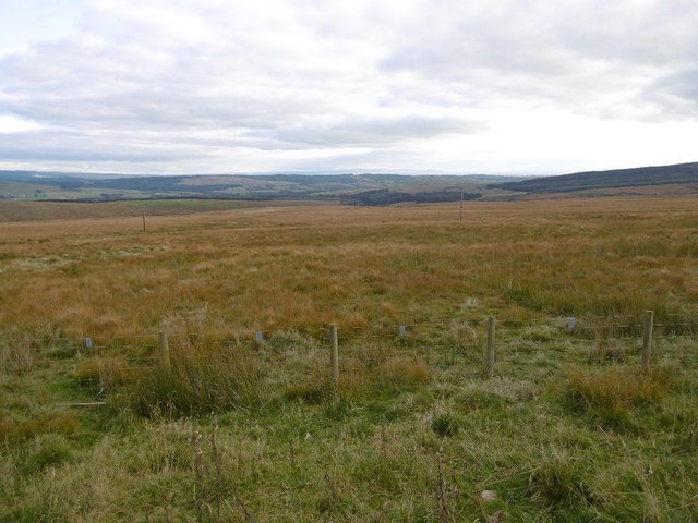
Situated near the village of Oxnam, Tinnis Hill is a popular destination for hikers and nature enthusiasts. The hill is easily accessible via a well-marked footpath that leads to the summit, making it a relatively easy climb for all skill levels. The path winds its way through lush green fields and offers glimpses of local wildlife along the way.

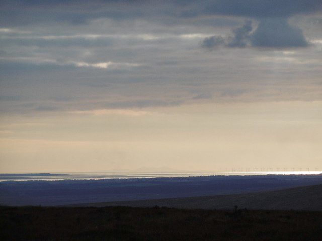
At the top of Tinnis Hill, visitors are rewarded with breathtaking views of the rolling hills and valleys that characterize the Roxburghshire landscape. On clear days, it is even possible to catch a glimpse of the Cheviot Hills, located to the south.

Tinnis Hill is also known for its historical significance. At the base of the hill lies Oxnam Kirk, a historic church dating back to the 12th century. The churchyard contains ancient gravestones, providing a glimpse into the area's rich history.

Overall, Tinnis Hill offers a perfect blend of natural beauty, outdoor activity, and historical interest to those who venture to its summit.

If you have any feedback on the listing, please let us know in the comments section below.
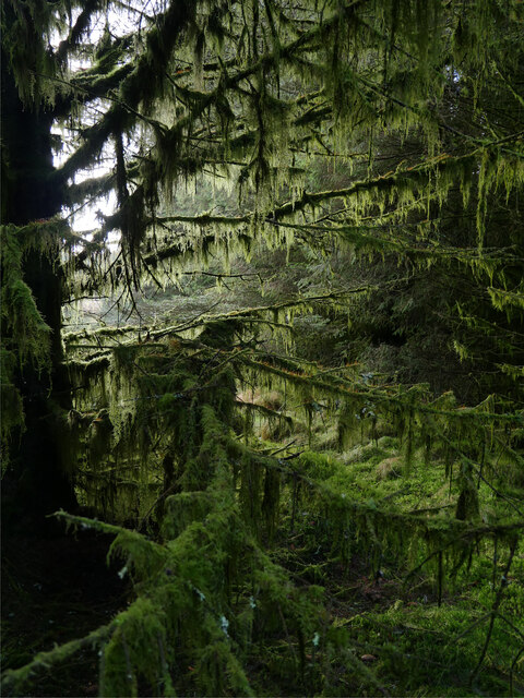
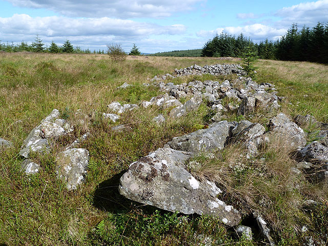
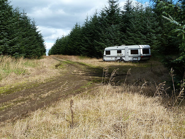
Tinnis Hill Images

Images are sourced within 2km of 55.160148/-2.8947279 or Grid Reference NY4385. Thanks to Geograph Open Source API. All images are credited.

Lush lichen growth in Tinnisburn Forest This section of Tinnisburn Forest had many trees exhibiting superb growths of lichens.  In the background, a small break between forestry coupes can be noted.

This photograph was taken during the Coronavirus (COVID-19) pandemic of 2020/21/22.
Lush lichen growth in Tinnisburn Forest
This section of Tinnisburn Forest had many trees exhibiting superb growths of lichens. In the background, a small break between forestry coupes can be noted. This photograph was taken during the Coronavirus (COVID-19) pandemic of 2020/21/22.
Grass moorland by Ralphtree Grain After ninety minutes of unpleasantness through Storm Arwen-ravaged Tinnisburn Forest from the Dixon memorial, the dense plantations were left behind and a view across grass moorland was a welcome sight.  This area drains into the Ralphtree Burn; the prominent peak of Tinnis Hill is in the background.

This photograph was taken during the Coronavirus (COVID-19) pandemic of 2020/21/22.
Grass moorland by Ralphtree Grain
After ninety minutes of unpleasantness through Storm Arwen-ravaged Tinnisburn Forest from the Dixon memorial, the dense plantations were left behind and a view across grass moorland was a welcome sight. This area drains into the Ralphtree Burn; the prominent peak of Tinnis Hill is in the background. This photograph was taken during the Coronavirus (COVID-19) pandemic of 2020/21/22.
Tinnisburn Forest casting shadows A walk alongside Tinnisburn Forest in a January late afternoon and shadows are cast across the adjacent grazing moorland.

This photograph was taken during the Coronavirus (COVID-19) pandemic of 2020/21/22.
Tinnisburn Forest casting shadows
A walk alongside Tinnisburn Forest in a January late afternoon and shadows are cast across the adjacent grazing moorland. This photograph was taken during the Coronavirus (COVID-19) pandemic of 2020/21/22.
Moorland fences at Stanygill Rig
Langholm Moor View towards Tinnis Hill.
Langholm Moor
View towards Tinnis Hill.
Burrowstown Moss View towards the bing like Tinnis Hill over Langholm Moor.
Burrowstown Moss
View towards the bing like Tinnis Hill over Langholm Moor.
Langholm Moor road The summit and Roxburghshire/Dumfriesshire boundary.
Langholm Moor road
The summit and Roxburghshire/Dumfriesshire boundary.
Solway view from Langholm Moor A very clear day with a clear view of the Isle of Man and Solway wind farm from as far east as within Roxburghshire.
Solway view from Langholm Moor
A very clear day with a clear view of the Isle of Man and Solway wind farm from as far east as within Roxburghshire.
Cattle grid, Langholm Moor A summit on the road between Langholm and Newcastleton. There were views as far as Cross Fell and the Isle of Man.
Cattle grid, Langholm Moor
A summit on the road between Langholm and Newcastleton. There were views as far as Cross Fell and the Isle of Man.
Langholm Moor by Tinnis Bridge
Langholm Moor by Tinnis Bridge View past one of the butts, typical of many squares around here.
Langholm Moor by Tinnis Bridge
View past one of the butts, typical of many squares around here.
Langholm to Newcastleton road View down to Liddesdale taken on the descent from Langholm Moor.
Langholm to Newcastleton road
View down to Liddesdale taken on the descent from Langholm Moor.
Tinnis Hill A distinct landmark on otherwise gentle moorland hills. Tinnis Hill is made from resistant igneous rocks.
Tinnis Hill
A distinct landmark on otherwise gentle moorland hills. Tinnis Hill is made from resistant igneous rocks.
Moorland above the Tinnis Burn View along the Pennines towards a distant Cross Fell from the moors above Newcastleton.
Moorland above the Tinnis Burn
View along the Pennines towards a distant Cross Fell from the moors above Newcastleton.
Moorland, Stanygill Rig Moorland above Newcastleton.
Moorland, Stanygill Rig
Moorland above Newcastleton.
The Bounder Stone in Tinnisburn Forest This standing stone marked on the Explorer map is referred to as the Bounder Stone in the 1926 book The Border Land by James Logan Mack. The stone, lying at an angle of about 45°, marked the northerly point of the Debatable Land. The dimensions of the stone above ground level are 2150 x 1350mm with the highest point 1200mm above the ground.
The Bounder Stone in Tinnisburn Forest
This standing stone marked on the Explorer map is referred to as the Bounder Stone in the 1926 book The Border Land by James Logan Mack. The stone, lying at an angle of about 45°, marked the northerly point of the Debatable Land. The dimensions of the stone above ground level are 2150 x 1350mm with the highest point 1200mm above the ground.
The Long Cairn on Windy Edge This ancient chambered cairn is in a clearing at Tinnisburn Forest. For more details, see <span class="nowrap"><a title="http://canmore.rcahms.gov.uk/en/site/67899/details/windy+edge/" rel="nofollow ugc noopener" href="http://canmore.rcahms.gov.uk/en/site/67899/details/windy+edge/">Link</a><img style="margin-left:2px;" alt="External link" title="External link - shift click to open in new window" src="https://s1.geograph.org.uk/img/external.png" width="10" height="10"/></span>
The Long Cairn on Windy Edge
This ancient chambered cairn is in a clearing at Tinnisburn Forest. For more details, see LinkExternal link
A forestry road at Windy Edge Presumably the caravan will be used by forestry workers.
A forestry road at Windy Edge
Presumably the caravan will be used by forestry workers.
Show me another place!

Tinnis Hill is located at Grid Ref: NY4385 (Lat: 55.160148, Lng: -2.8947279)

Unitary Authority: The Scottish Borders

Police Authority: The Lothians and Scottish Borders

What 3 Words

///imparting.helm.helpful. Near Langholm, Dumfries & Galloway

Nearby Locations

Tinnis Hill

Related Wikis

Ettleton

Ettleton is a village near Castleton, in the Scottish Borders area of Scotland, in the former Roxburghshire. == Etymology and history == Ettleton Parish...

Mangerton Tower

Mangerton Tower is a ruined Scottish tower castle house formerly belonging to the Armstrong family. Mangerton Tower is at Mangerton in Newcastleton or...

Penton railway station

Penton railway station served the parish of Penton from 1862 to 1969 on the Border Union Railway. == History == The station opened on 1 March 1862 by the...

Kershope Foot railway station

Kershope Foot railway station served the hamlet of Kershopefoot, Cumbria, from 1862 to 1969 on the Border Union Railway. == History == The station opened...

Nearby Amenities

Located within 500m of 55.160148,-2.8947279
Tinnis Hill
Ele: 404
Natural: peak
Lat/Long: 55.1602062/-2.8948738
The data included in this document is from www.openstreetmap.org. The data is made available under ODbL.

Have you been to Tinnis Hill?

Leave your review of Tinnis Hill below (or comments, questions and feedback).