Brigton Hill

Hill, Mountain in Angus

Scotland

Brigton Hill

Approaching the Forfar junction Photographer is above the pavement on the southbound A90.
Approaching the Forfar junction Credit: C Michael Hogan

Brighton Hill is a prominent hill located in the county of Angus, Scotland. Situated near the village of Glamis, it is part of the Sidlaw Hills range, which stretches across the eastern part of the country. Rising to a height of approximately 380 meters (1247 feet), Brighton Hill offers stunning panoramic views of the surrounding countryside.

The hill is primarily composed of sandstone, giving it a distinctive reddish-brown coloration. Its slopes are covered in a mix of grasses, heather, and scattered shrubs, providing a habitat for various species of wildlife. Visitors to Brighton Hill may encounter rabbits, hares, and deer, as well as a rich variety of birdlife.

Brighton Hill is a popular destination for hikers and nature enthusiasts who enjoy the peaceful and serene environment it offers. Several well-marked trails traverse the hill, allowing visitors to explore its diverse flora and fauna. There are also designated viewpoints along the trails, offering breathtaking vistas of the surrounding Angus countryside.

The hill holds historical significance as well. It is believed to have been an important landmark during ancient times, serving as a meeting point or a site for ceremonial activities. Archaeological remains, including stone circles and burial mounds, have been discovered in the vicinity, adding to the hill's allure.

Overall, Brighton Hill in Angus is a picturesque and historically significant natural feature, attracting visitors with its stunning views, diverse wildlife, and tranquil atmosphere.

If you have any feedback on the listing, please let us know in the comments section below.
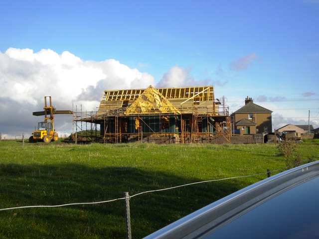
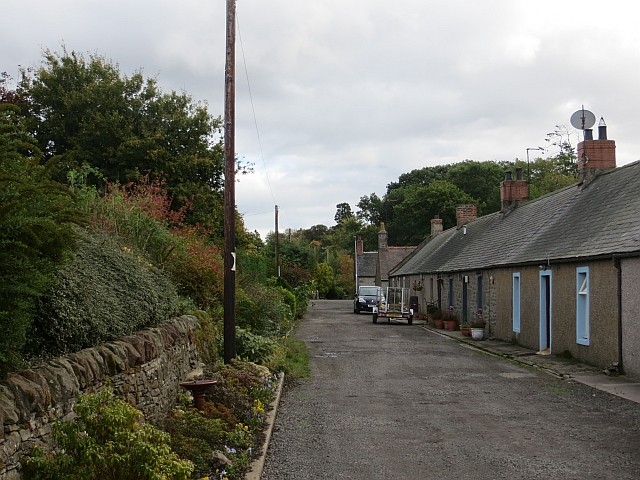
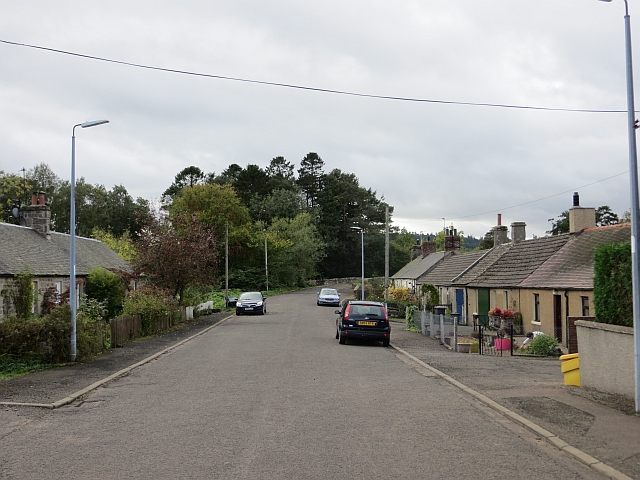
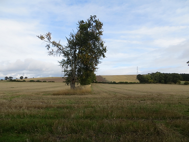
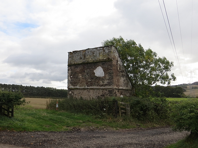
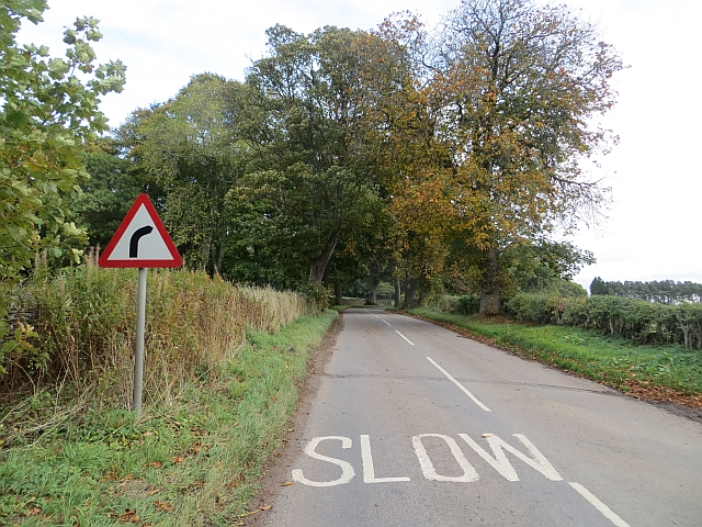
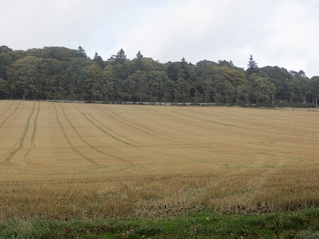
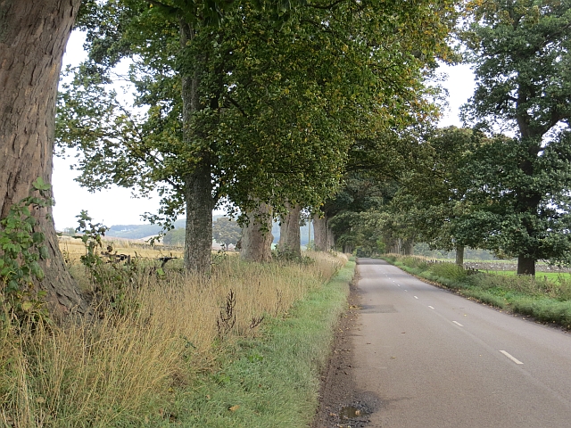
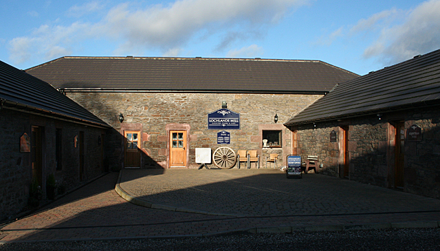
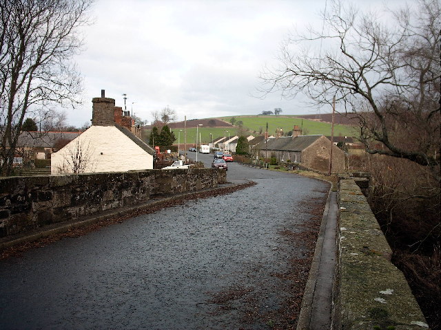
Brigton Hill Images

Images are sourced within 2km of 56.615582/-2.9286684 or Grid Reference NO4347. Thanks to Geograph Open Source API. All images are credited.

Approaching the Forfar junction Photographer is above the pavement on the southbound A90.
Approaching the Forfar junction
Photographer is above the pavement on the southbound A90.
New house, Easter Ingliston
Lochlands Caravan Site
View across the fields towards North Leckaway Cottages, near Forfar
Barn near Forfar
Barn near Forfar
Fields at North Mains of Invereighty, south of Forfar
Douglastown A row of cottages off Kerbet Place.
Douglastown
A row of cottages off Kerbet Place.
Kerbet Place, Douglastown Now a no through road.
Kerbet Place, Douglastown
Now a no through road.
Remains of a hedge A row of trees is all that remains of a hedge in what is now a big arable field.
Remains of a hedge
A row of trees is all that remains of a hedge in what is now a big arable field.
Doocot, Kinnettles A ruined lectern style doo cot.
Doocot, Kinnettles
A ruined lectern style doo cot.
B9127, Kinnettles
B9127, Kinnettles
Stubble, Kinnettles Field beside the B9127.
Stubble, Kinnettles
Field beside the B9127.
B9127, Kinnettles The road, like many in and near Strathmore is tree lined.
B9127, Kinnettles
The road, like many in and near Strathmore is tree lined.
North Mains of Invereighty A potato field after the harvest.
North Mains of Invereighty
A potato field after the harvest.
Lochlands Lives Again The buildings have been restored and reopened as a restaurant. Compare with <a href="https://www.geograph.org.uk/photo/1565216">NO4447 : Lochlands Shop and Restaurant</a>.
Lochlands Lives Again
The buildings have been restored and reopened as a restaurant. Compare with NO4447 : Lochlands Shop and Restaurant.
Lochlands Mill Before the fire in 2009 (see <a href="https://www.geograph.org.uk/photo/1565216">NO4447 : Lochlands Shop and Restaurant</a>), this courtyard was the main shop area. Now there are only an equestrian shop in the wing on the right, and a unit to let on the left. The restaurant is in the central building.
Lochlands Mill
Before the fire in 2009 (see NO4447 : Lochlands Shop and Restaurant), this courtyard was the main shop area. Now there are only an equestrian shop in the wing on the right, and a unit to let on the left. The restaurant is in the central building.
South Mains Mainly arable on the north side of the Sidlaw Hills. The hill on the skyline is Fothringham Hill.
South Mains
Mainly arable on the north side of the Sidlaw Hills. The hill on the skyline is Fothringham Hill.
McDonald's, Forfar Near junction of A90 and A94.
McDonald's, Forfar
Near junction of A90 and A94.
Show me another place!

Brigton Hill is located at Grid Ref: NO4347 (Lat: 56.615582, Lng: -2.9286684)

Unitary Authority: Angus

Police Authority: Tayside

What 3 Words

///overruns.retract.wardrobe. Near Forfar, Angus

Nearby Locations

Brigton Hill

Related Wikis

Kinnettles Castle

Kinnettles Castle is a mid-19th century period castle located in Forfar, Angus, Scotland. Set on 44 acres, the Scottish Baronial castle is now a hotel...

Kinnettles

Kinnettles is a civil parish in Angus, a council area in the northeast of Scotland. The Parish is bounded on the north and east by Forfar, on the southeast...

Douglastown

Douglastown is a hamlet in Kinnettles in Angus, Scotland, three miles south-west of Forfar. It takes its name from the landowner who in about 1789 provided...

Kincaldrum

Kincaldrum is a hamlet in the county of Angus, Scotland. It lies 1 km northwest of Gateside. Kincaldrum House lies in ruins. A corn mill once stood near...

Nearby Amenities

Located within 500m of 56.615582,-2.9286684
Man Made: mast
Lat/Long: 56.615998/-2.9266769
Brigton Hill
Ele: 164
Natural: peak
Lat/Long: 56.615463/-2.9287208
Power: pole
Lat/Long: 56.6154468/-2.9207305
Power: pole
Lat/Long: 56.6155026/-2.9212028
Power: pole
Lat/Long: 56.6156248/-2.9223739
Power: pole
Lat/Long: 56.6157281/-2.9234135
Power: pole
Lat/Long: 56.6158408/-2.9245005
Power: pole
Lat/Long: 56.6159583/-2.9256414
Power: pole
Lat/Long: 56.6160473/-2.9265106
The data included in this document is from www.openstreetmap.org. The data is made available under ODbL.

Have you been to Brigton Hill?

Leave your review of Brigton Hill below (or comments, questions and feedback).