Chapel Hill
Hill, Mountain in Lancashire Lancaster
England
Chapel Hill
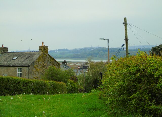
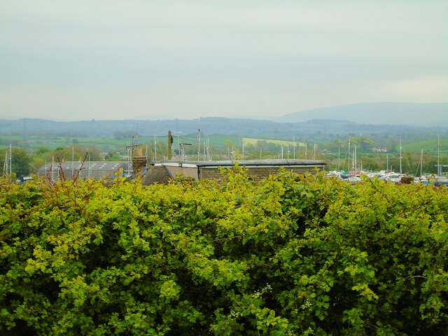
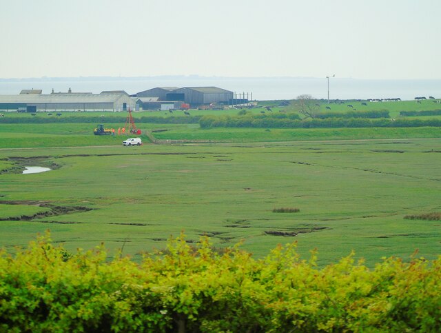
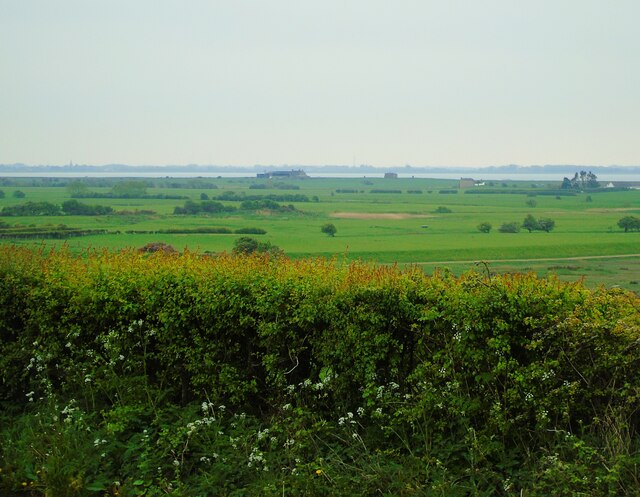
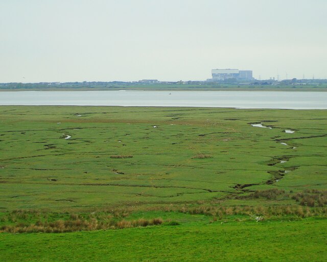
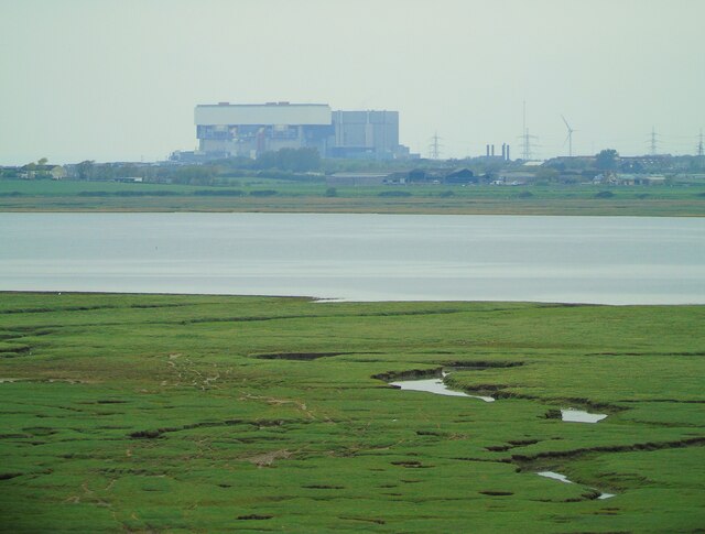
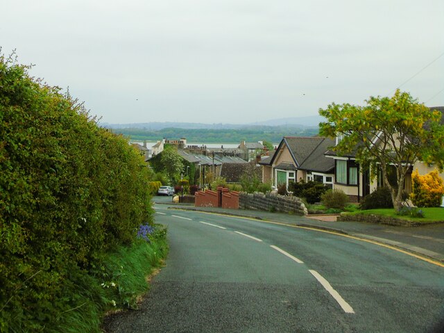
Chapel Hill is a small hill located in the Lancashire region of England. It is situated near the town of Darwen and is part of the West Pennine Moors, a range of hills and moorland in Lancashire. Chapel Hill is known for its scenic views of the surrounding countryside and is a popular destination for hikers and nature enthusiasts.
The hill is relatively easy to climb, with a well-marked trail leading to the summit. At the top of Chapel Hill, visitors can enjoy panoramic views of the Lancashire countryside, including the nearby towns of Darwen and Blackburn. On a clear day, it is possible to see as far as the coast of the Irish Sea.
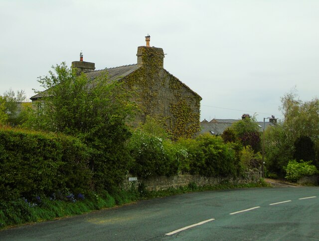
Chapel Hill is also home to a small chapel, which dates back to the 19th century. The chapel is a popular spot for weddings and other special events, and adds to the charm and historical significance of the hill.
Overall, Chapel Hill is a peaceful and picturesque destination, offering visitors the opportunity to explore the beauty of the Lancashire countryside and enjoy stunning views from its summit.
If you have any feedback on the listing, please let us know in the comments section below.
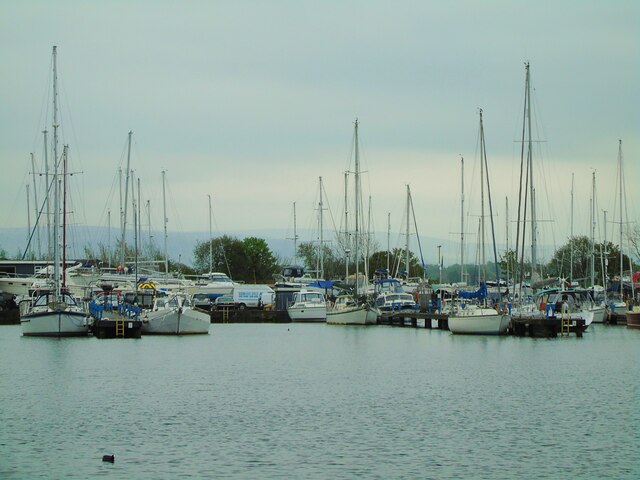
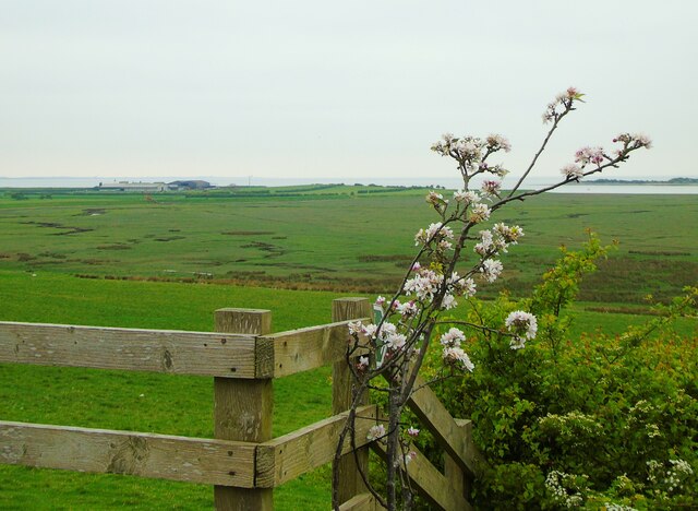
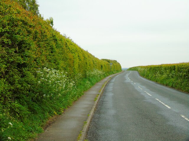
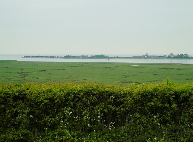
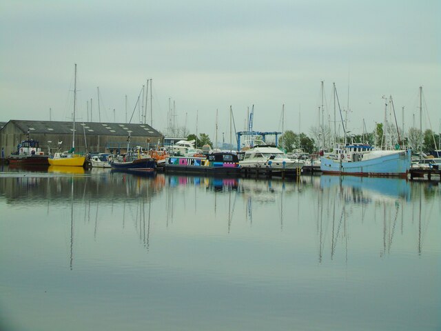
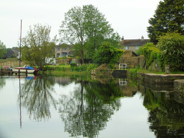
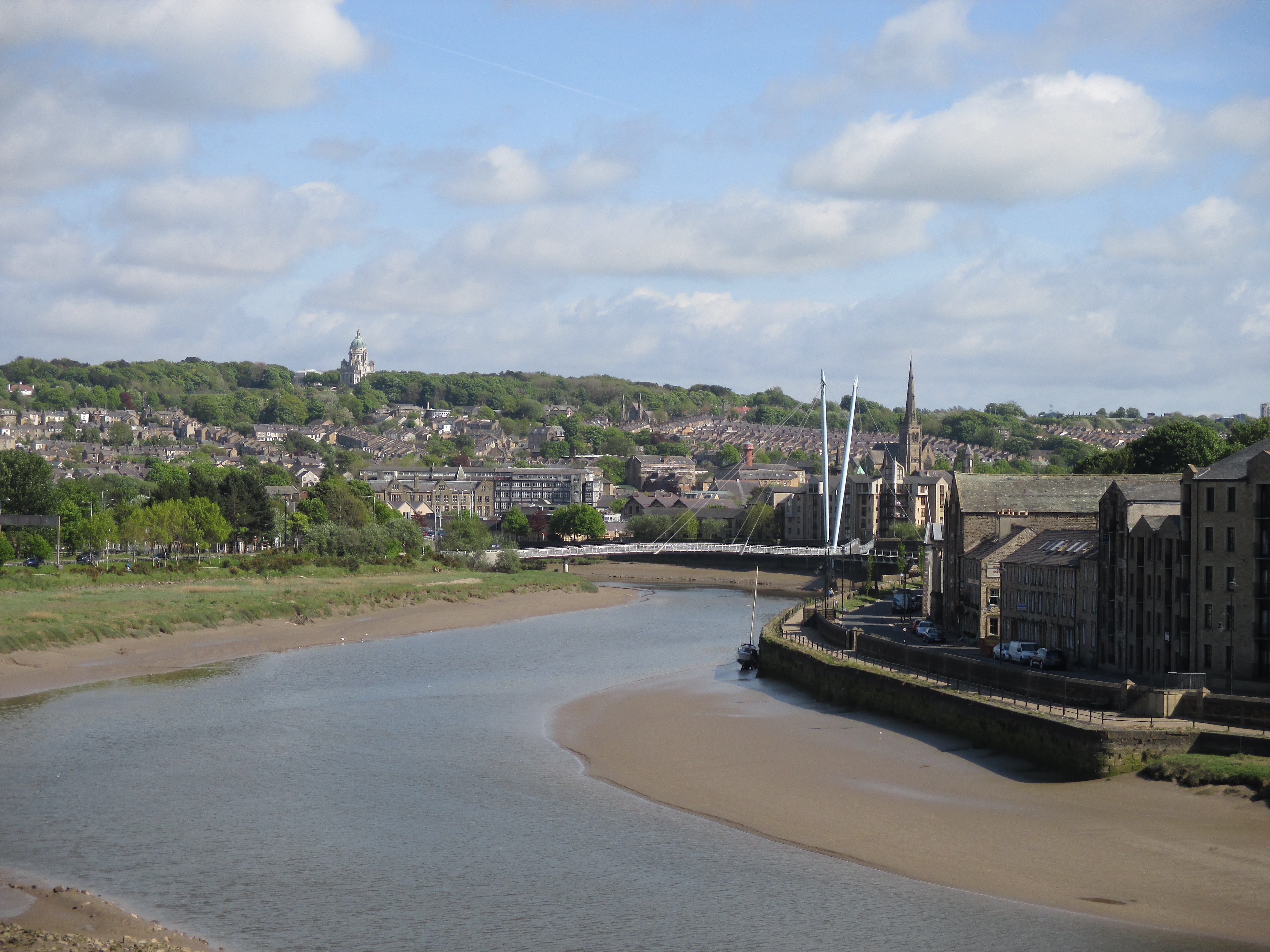
Chapel Hill Images
Images are sourced within 2km of 53.990781/-2.8695718 or Grid Reference SD4355. Thanks to Geograph Open Source API. All images are credited.
Chapel Hill is located at Grid Ref: SD4355 (Lat: 53.990781, Lng: -2.8695718)
Administrative County: Lancashire
District: Lancaster
Police Authority: Lancashire
What 3 Words
///clouding.quietest.orbit. Near Overton, Lancashire
Nearby Locations
Related Wikis
River Lune
The River Lune (archaically sometimes Loyne) is a river 53 miles (85 km) in length in Cumbria and Lancashire, England. == Etymology == Several elucidations...

Sunderland, Lancashire
Sunderland, commonly known as Sunderland Point, is a small village among the marshes, on a windswept peninsula between the mouth of the River Lune and...
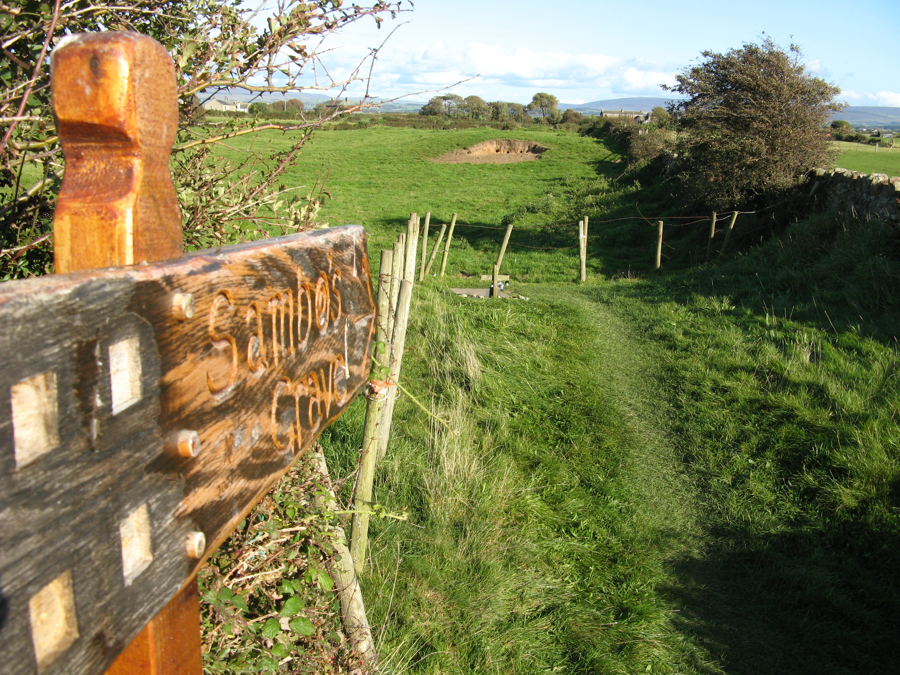
Sambo's Grave
Sambo's Grave is the burial site of a black cabin boy or slave on unconsecrated ground in a field near the small village of Sunderland Point, Lancashire...
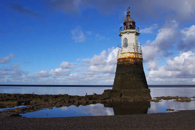
Plover Scar Lighthouse
Plover Scar Lighthouse, also known as the Abbey Lighthouse, is an active 19th century lighthouse sited at the entrance of the Lune estuary, near Cockersand...
Nearby Amenities
Located within 500m of 53.990781,-2.8695718Have you been to Chapel Hill?
Leave your review of Chapel Hill below (or comments, questions and feedback).