Cairn Caidloch
Hill, Mountain in Angus
Scotland
Cairn Caidloch
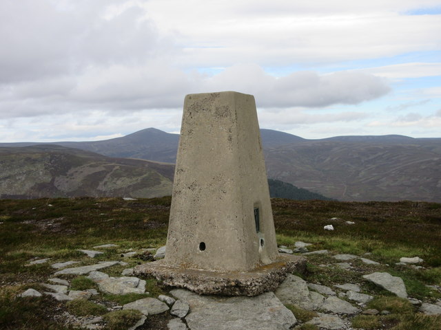
Cairn Caidloch is a prominent hill located in the county of Angus, Scotland. It stands at an elevation of approximately 726 meters (2,382 feet) above sea level, making it one of the highest points in the region. The hill is situated within the eastern part of the Grampian Mountains, offering stunning panoramic views of the surrounding landscape.
Cairn Caidloch is known for its distinctive cone-shaped summit, which is covered in heather and grasses. The hill is composed mainly of granite, giving it a rugged and rocky appearance. Its slopes are relatively steep, providing a challenging climb for hikers and hillwalkers.
The summit of Cairn Caidloch offers breathtaking vistas of the surrounding Angus countryside, including the rolling hills, moorlands, and scattered lochs. On a clear day, it is even possible to see as far as the eastern coastline and the North Sea.
The hill is a popular destination for outdoor enthusiasts, attracting walkers, mountaineers, and photographers. There are several routes leading to the summit, with the most common starting point being the nearby village of Glen Esk. The climb typically takes around two to three hours, depending on fitness levels and weather conditions.
Cairn Caidloch is also known for its rich biodiversity. The lower slopes are home to a variety of plant species, including heather, blaeberry, and mosses. Wildlife such as red deer, mountain hares, and various bird species can also be spotted in the area.
Overall, Cairn Caidloch is a picturesque and challenging hill, offering outdoor enthusiasts an opportunity to explore the natural beauty of the Angus countryside while enjoying breathtaking views from its summit.
If you have any feedback on the listing, please let us know in the comments section below.
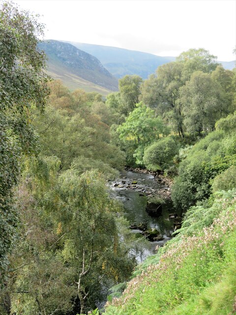
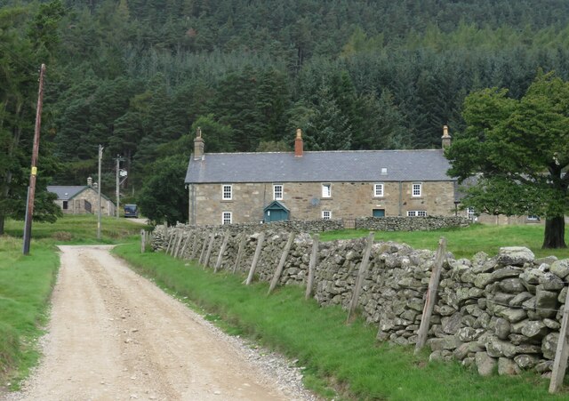
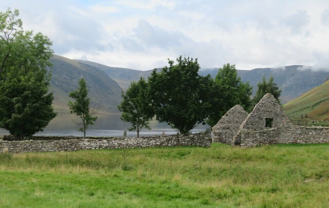
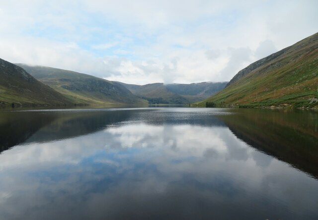
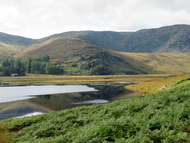
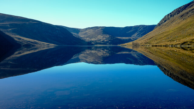
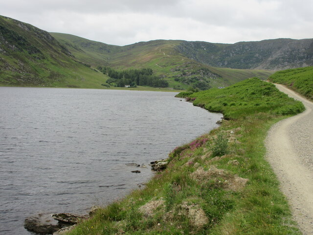
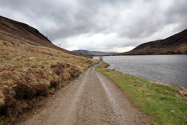
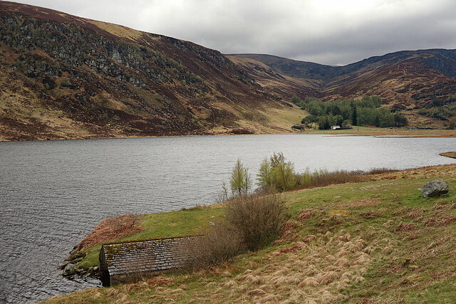
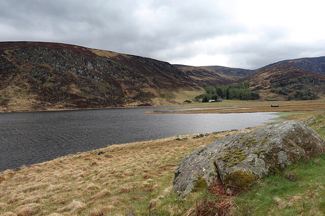
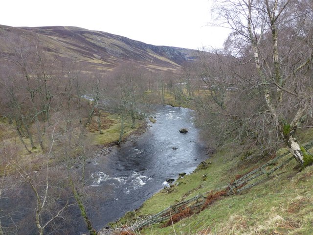
Cairn Caidloch Images
Images are sourced within 2km of 56.893107/-2.9359877 or Grid Reference NO4378. Thanks to Geograph Open Source API. All images are credited.


Cairn Caidloch is located at Grid Ref: NO4378 (Lat: 56.893107, Lng: -2.9359877)
Unitary Authority: Angus
Police Authority: Tayside
What 3 Words
///convert.stressed.proclaims. Near Ballater, Aberdeenshire
Nearby Locations
Related Wikis

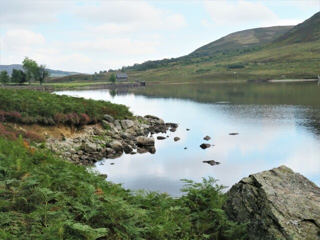
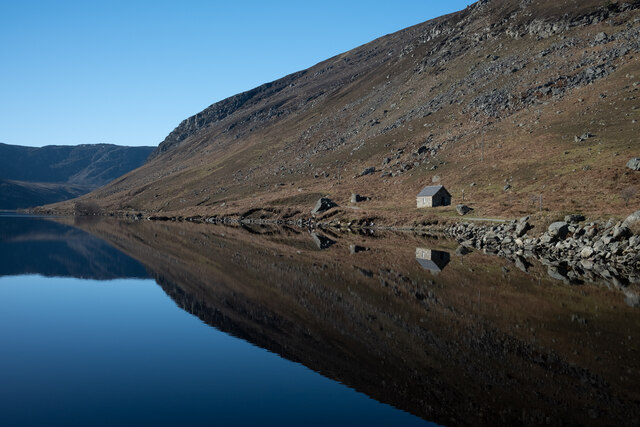
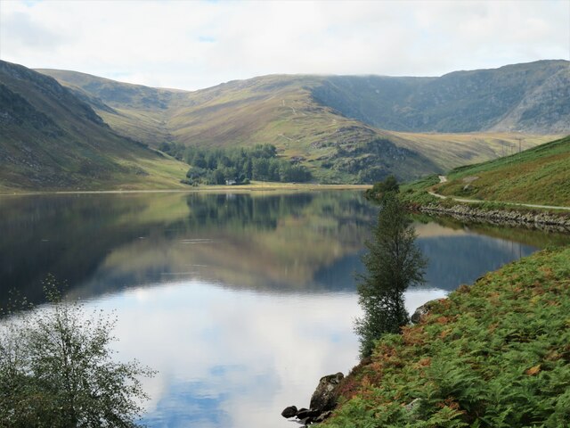
Loch Lee
National grid reference NO431800 Loch Lee is a loch in Angus, Scotland south of the Grampian Mountains that is fed by the Water of Lee and the Water of...

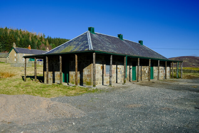
Invermark Lodge
Invermark Lodge is a hunting lodge which was built near Invermark Castle in 1852 for John Ramsay, 13th Earl of Dalhousie. It is now a listed building...

Invermark Castle
Invermark Castle is an oblong tower house dating from the 16th century, at the east of Loch Lee, Angus, Scotland. It is near the head of Glen Esk. ��2...

Glen Mark
Glen Mark is a glen in northern Angus, eastern Scotland, through which the Water of Mark flows. Near the mouth of the glen, at Auchronie, the Water of...
Related Videos

Loch Lee Scottish mountains hiking
Hiking in mountains.

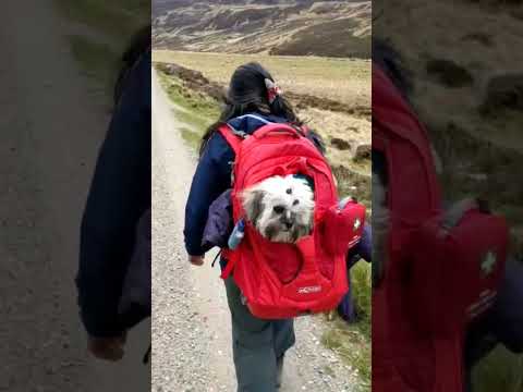
Loch Lee Walk, May 2021 #shorts #angus #scotland #loch #walking #hiking #hikingdog
In May 2021, we travelled out to Loch Lee, in the Scottish county of Angus, and went for a walk with our dog, Kiko. Her little legs ...

Gavin and Jemma’s Adventures: Loch Lee & Falls of Unich
A lovely walk around Loch Lee. Further up the trail you come across this beautiful waterfall called the Falls of Unich. Stunning day ...
Nearby Amenities
Located within 500m of 56.893107,-2.9359877Have you been to Cairn Caidloch?
Leave your review of Cairn Caidloch below (or comments, questions and feedback).