Seaborough Hill
Hill, Mountain in Somerset
England
Seaborough Hill

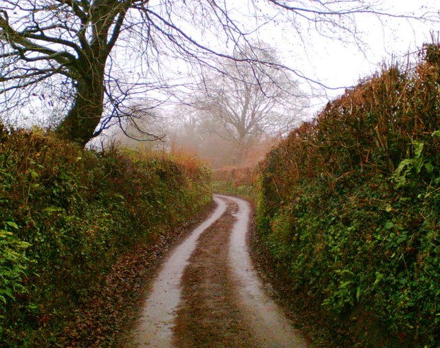
Seaborough Hill is a prominent hill located in the county of Somerset, England. Standing at an elevation of approximately 250 meters (820 feet), it is considered one of the notable landmarks in the region. The hill is situated near the village of Seaborough, in the South Somerset district, offering breathtaking panoramic views of the surrounding countryside.
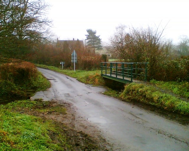
This natural formation is characterized by its gentle slopes and lush greenery, making it a popular destination for nature enthusiasts and hikers. The hill is easily accessible via footpaths and trails, providing visitors with the opportunity to explore its diverse flora and fauna.
Seaborough Hill is renowned for its archaeological significance. It has been the site of several excavations, uncovering evidence of human activity dating back to the Iron Age. The discovery of ancient artifacts, including pottery and tools, has shed light on the hill's historical importance.
The hill also boasts a rich cultural heritage. It is believed to have inspired various local folktales and legends, which have been passed down through generations. Visitors can immerse themselves in the folklore and connect with the area's mystical past.
Seaborough Hill offers a tranquil escape from the hustle and bustle of modern life. Its serene atmosphere, coupled with its stunning vistas, make it an ideal spot for picnics, photography, or simply soaking up the beauty of nature. Whether it's for leisurely walks, historical exploration, or a peaceful retreat, Seaborough Hill is a must-visit destination for anyone seeking to experience the natural wonders of Somerset.
If you have any feedback on the listing, please let us know in the comments section below.
Seaborough Hill Images
Images are sourced within 2km of 50.862661/-2.8102712 or Grid Reference ST4307. Thanks to Geograph Open Source API. All images are credited.


Seaborough Hill is located at Grid Ref: ST4307 (Lat: 50.862661, Lng: -2.8102712)
Unitary Authority: Dorset
Police Authority: Dorset
What 3 Words
///pink.passively.octagon. Near Crewkerne, Somerset
Nearby Locations
Related Wikis

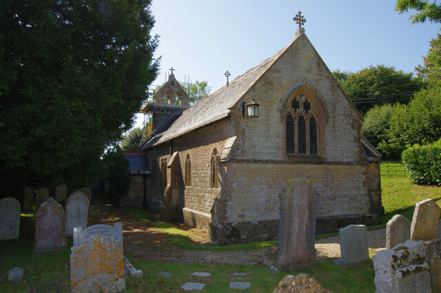
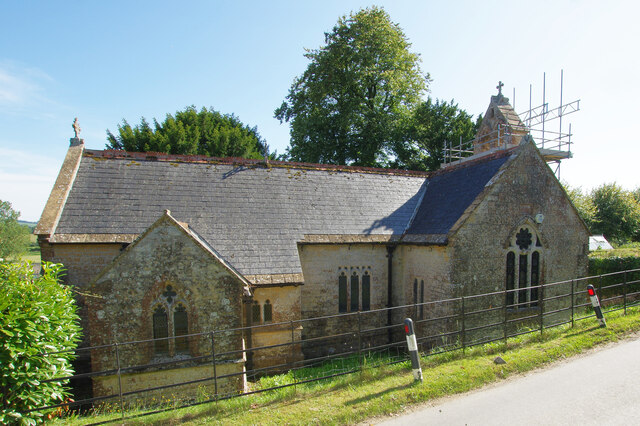
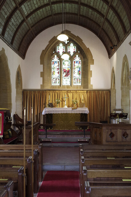
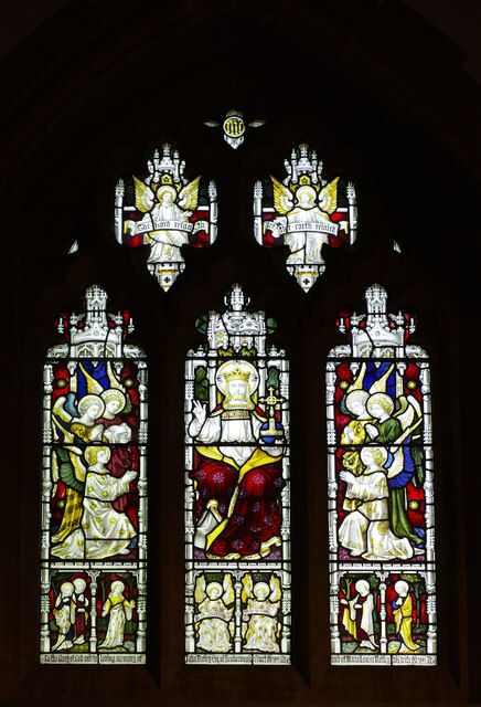
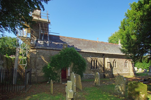
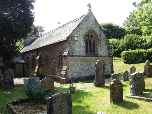
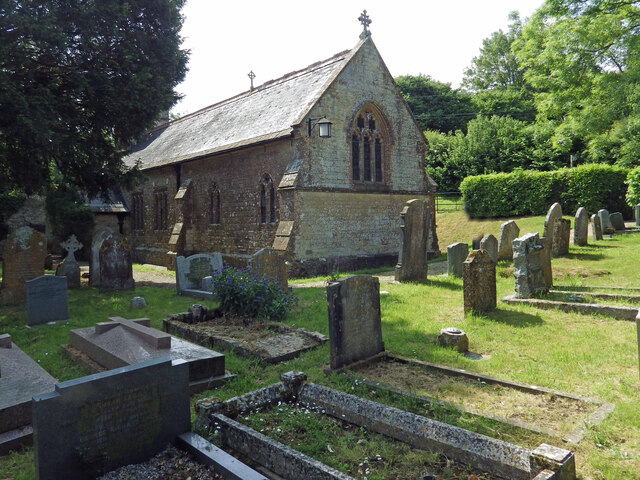
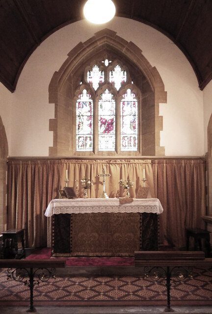
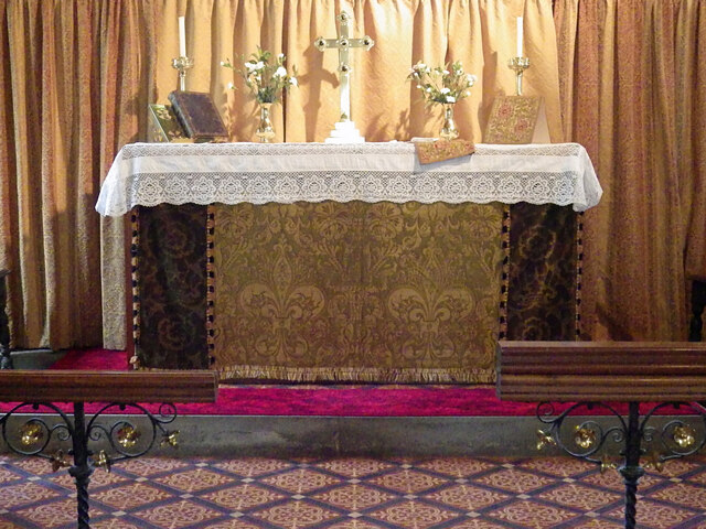
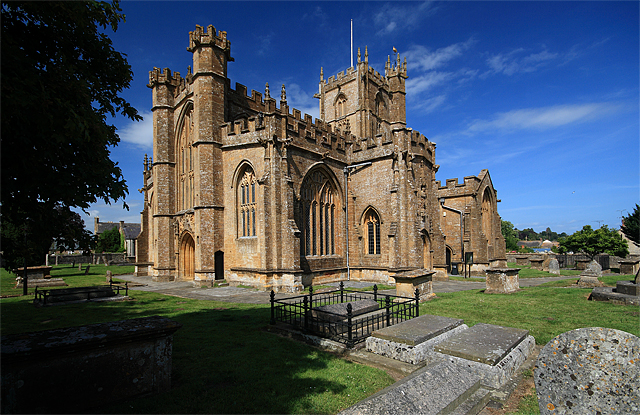
St John's Church, Seaborough
St John's Church is a Church of England church in Seaborough, Dorset, England. Much of the church dates to a rebuild of 1882 and it now forms part of the...
Seaborough
Seaborough is a small village and civil parish in the county of Dorset in southwest England. It is sited in the valley of the River Axe and lies approximately...

Clapton Mill
Clapton Mill is a former watermill located in the hamlet of Clapton, West Crewkerne, Somerset, England. The existing mill dates back to the 18th century...
Crewkerne
Crewkerne ( KROO-kərn) is a town and electoral ward in south Somerset, England, 9 miles (14 km) southwest of Yeovil and 7 miles (11 km) east of Chard....

Christ Church, Crewkerne
Christ Church was a Church of England church in Crewkerne, Somerset, England. It was constructed in 1852–1854 to the designs of James Mountford Allen....
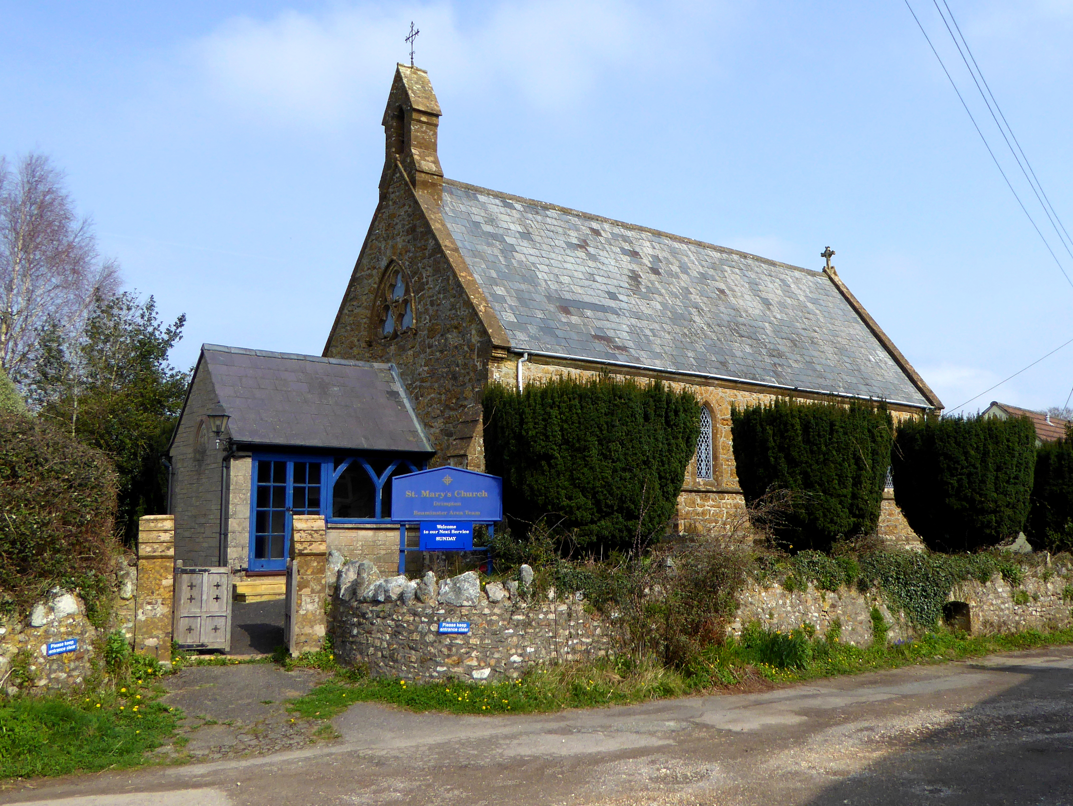
St Mary's Church, Drimpton
St. Mary's Church is a Church of England church in Drimpton, West Dorset, England. The church opened in 1867 and now forms part of the Beaminster Area...

Misterton, Somerset
Misterton is a village and civil parish 1 mile (1.6 km) south-east of Crewkerne, Somerset, England. == History == The village was previously known as Minsterton...

Netherhay Methodist Chapel
Netherhay Methodist Chapel is a Methodist Chapel in Netherhay, near Drimpton, West Dorset, England. The chapel remains active as part of the South Petherton...
Nearby Amenities
Located within 500m of 50.862661,-2.8102712Have you been to Seaborough Hill?
Leave your review of Seaborough Hill below (or comments, questions and feedback).