Lacet Hill

Hill, Mountain in Cumberland Eden

England

Lacet Hill

Fields with Motherby beyond Agricultural land north of Penruddock.
Part of the summit ridge of Blencathra is visible in the distance.
Fields with Motherby beyond Credit: Trevor Littlewood

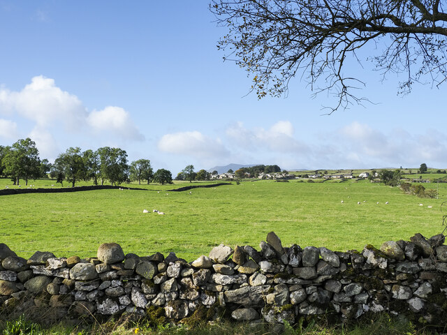
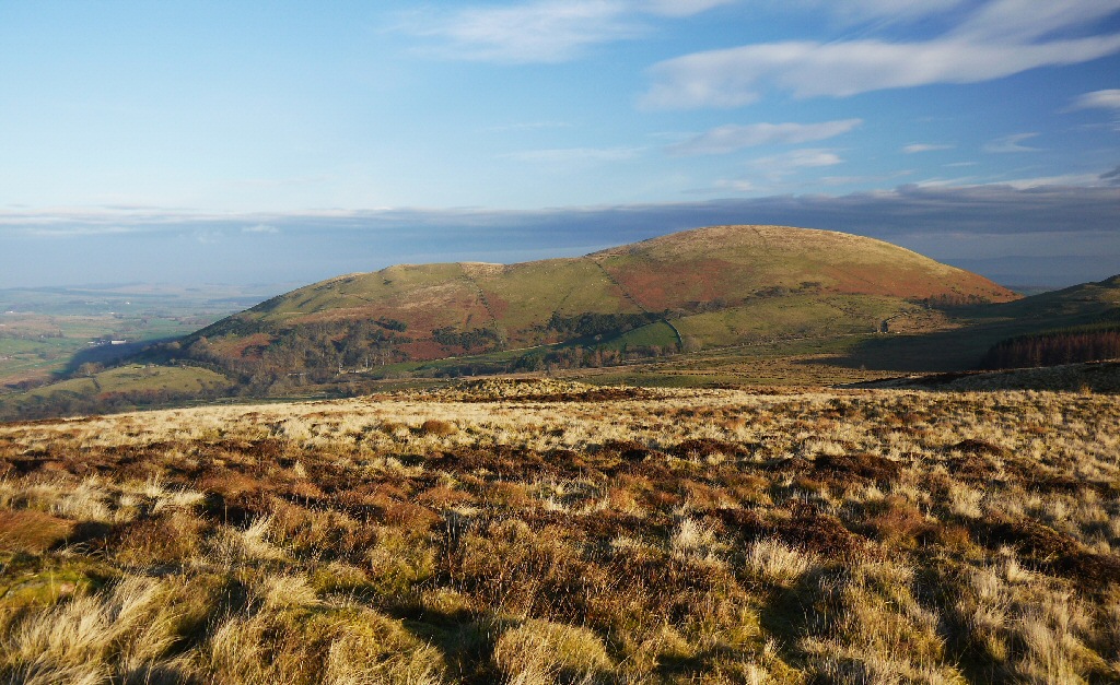
Located in the picturesque region of Cumberland, Lacet Hill is a prominent hill/mountain that stands tall and offers breathtaking views of the surrounding landscape. Rising to an elevation of approximately 2,800 feet (850 meters), it is one of the highest peaks in the area, making it a popular destination for outdoor enthusiasts and nature lovers.

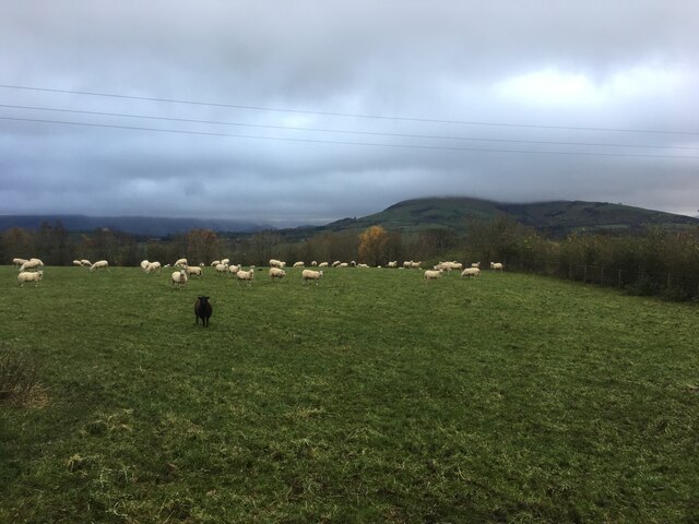
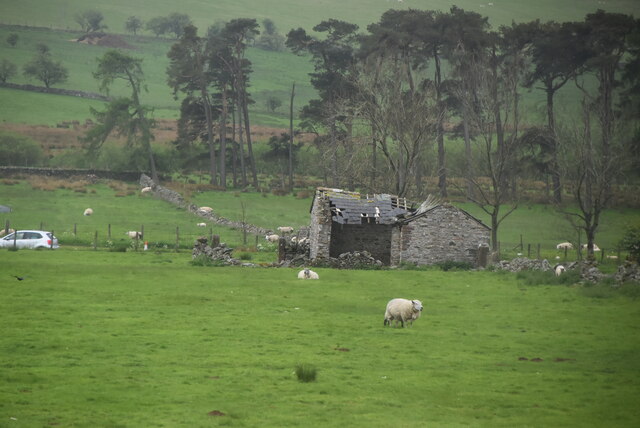
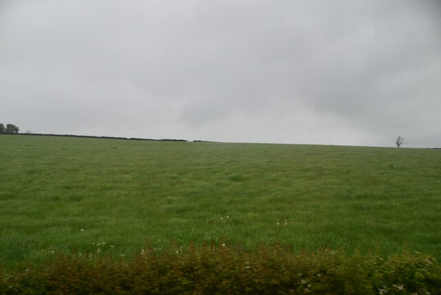
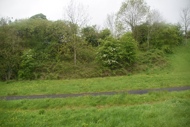
Lacet Hill boasts a diverse range of flora and fauna, with its slopes covered in lush greenery and dotted with various species of trees such as oak, birch, and pine. The hill is also home to an array of wildlife, including deer, foxes, and a variety of bird species, making it an ideal spot for wildlife enthusiasts and birdwatchers.

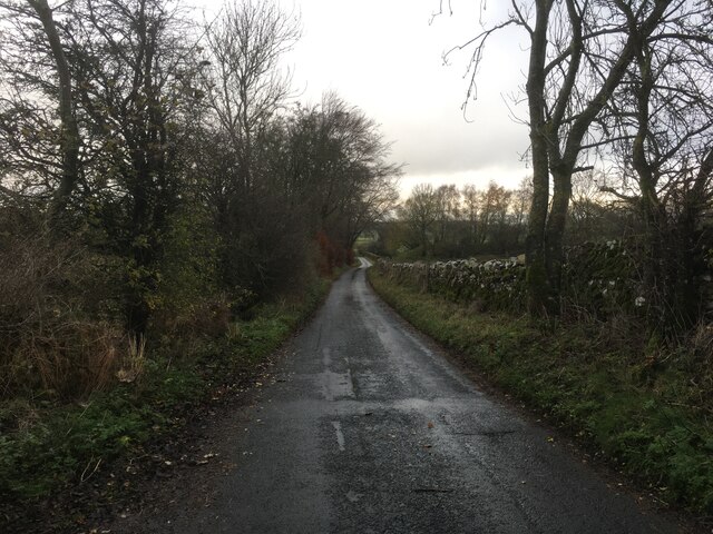
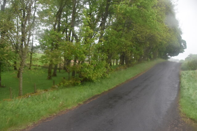
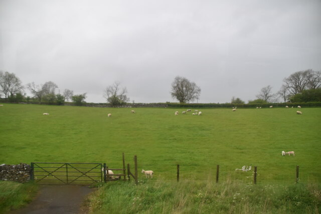
The ascent to Lacet Hill can be challenging, with steep and rocky sections, but it is a rewarding experience for those who make the journey. Several hiking trails provide access to the summit, allowing visitors to explore the hill's natural beauty at their own pace. Along the way, hikers are treated to stunning vistas of the surrounding countryside, with rolling hills, shimmering lakes, and quaint villages spread out below.

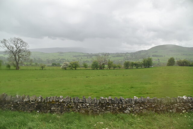
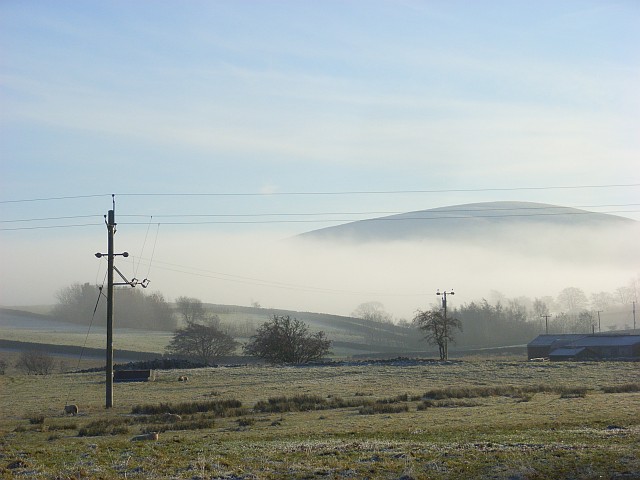
At the top of Lacet Hill, a panoramic view awaits, offering a sweeping vista of the Cumberland region. On clear days, it is possible to see neighboring peaks, including the majestic Cumberland Range, as well as distant towns and even glimpses of the shimmering sea.

Overall, Lacet Hill in Cumberland is a natural gem that offers a challenging yet rewarding outdoor experience, enticing visitors with its stunning landscapes, diverse wildlife, and unparalleled views.

If you have any feedback on the listing, please let us know in the comments section below.
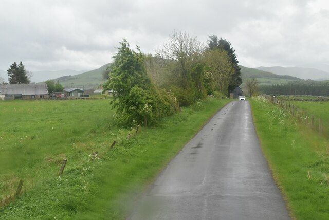
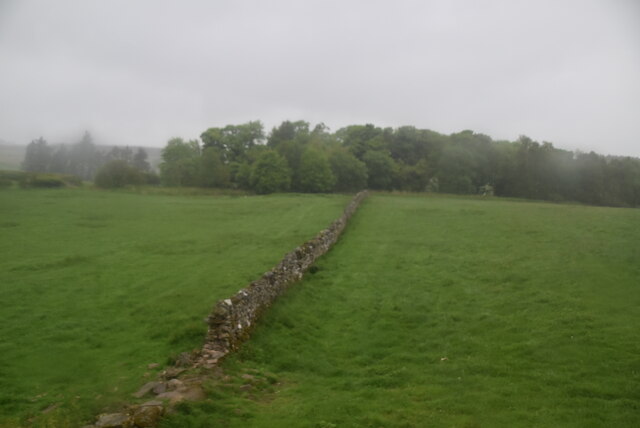
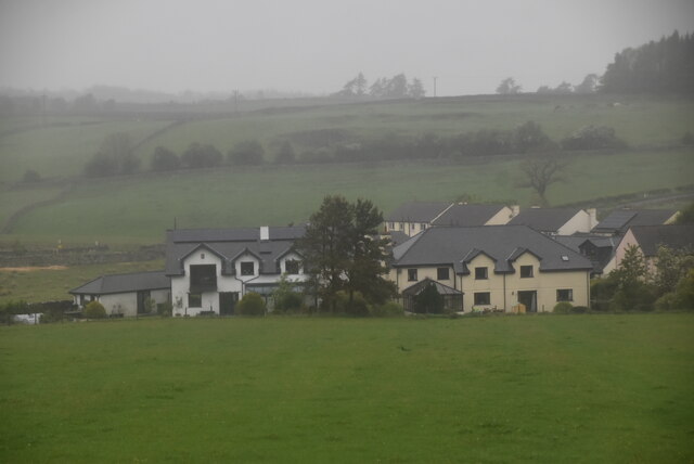
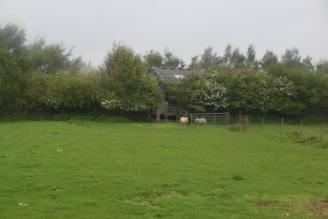
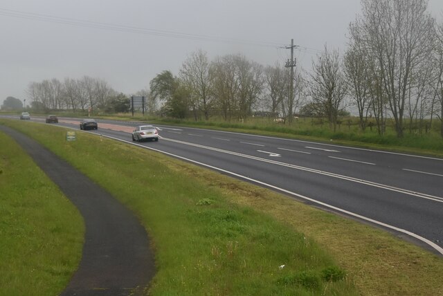
Lacet Hill Images

Images are sourced within 2km of 54.633106/-2.8874075 or Grid Reference NY4226. Thanks to Geograph Open Source API. All images are credited.

Fields with Motherby beyond Agricultural land north of Penruddock.
Part of the summit ridge of Blencathra is visible in the distance.
Fields with Motherby beyond
Agricultural land north of Penruddock. Part of the summit ridge of Blencathra is visible in the distance.
Sheep grazing near Penruddock
Minor road towards Greystoke
Old Boundary Marker on the B5288 in Motherby Township Boundary Marker on the verge on the southeast side of the B5288 in Motherby, outside Stag Cottage West. Until 1866 this was the boundary of Motherby and Gill and Hutton Soil townships, then Greystoke and Hutton Soil parishes until 1934, then Greystoke and Hutton parishes. Now entirely in Hutton parish. The plate on the south side is now missing. The stone is inscribed MDII (1502 if these are Roman numerals) on the north side.

Milestone Society National ID: CU_HUTT02pb
Old Boundary Marker on the B5288 in Motherby
Township Boundary Marker on the verge on the southeast side of the B5288 in Motherby, outside Stag Cottage West. Until 1866 this was the boundary of Motherby and Gill and Hutton Soil townships, then Greystoke and Hutton Soil parishes until 1934, then Greystoke and Hutton parishes. Now entirely in Hutton parish. The plate on the south side is now missing. The stone is inscribed MDII (1502 if these are Roman numerals) on the north side. Milestone Society National ID: CU_HUTT02pb
Old Boundary Marker near Penruddock Hall Township Boundary Marker on the east side of the minor road south of Motherby, near Penruddock Hall and opposite water troughs. Until 1866 this was the boundary of Motherby and Gill and Hutton Soil townships, then Greystoke and Hutton Soil parishes until 1934, then Greystoke and Hutton parishes. Now entirely in Hutton parish. The plate is now missing. 

Milestone Society National ID: CU_HUTT03pb
Old Boundary Marker near Penruddock Hall
Township Boundary Marker on the east side of the minor road south of Motherby, near Penruddock Hall and opposite water troughs. Until 1866 this was the boundary of Motherby and Gill and Hutton Soil townships, then Greystoke and Hutton Soil parishes until 1934, then Greystoke and Hutton parishes. Now entirely in Hutton parish. The plate is now missing. Milestone Society National ID: CU_HUTT03pb
North lakeland pasture
Minor road near Penruddock
Ruined barn
Ruined barn
North Lakeland pasture
Spedding Farm
Spedding Farm
Spedding Farm
Spedding Farm
Drystone wall
Drystone wall
Site of Penruddock Station
Two sheep
Two sheep
A66 The A66 is a major road in northern England running from near Middlesbrough to Workington. The section between Scotch Corner and Penrith is a Trans-Pennine route between the A1 and M6, following an old Roman Road.
Wikipedia: <span class="nowrap"><a title="http://en.wikipedia.org/wiki/A66_road" rel="nofollow ugc noopener" href="http://en.wikipedia.org/wiki/A66_road">Link</a><img style="margin-left:2px;" alt="External link" title="External link - shift click to open in new window" src="https://s1.geograph.org.uk/img/external.png" width="10" height="10"/></span>
A66
The A66 is a major road in northern England running from near Middlesbrough to Workington. The section between Scotch Corner and Penrith is a Trans-Pennine route between the A1 and M6, following an old Roman Road. Wikipedia: LinkExternal link
Road cutting, A66
Road cutting, A66
Sheep grazing
Sheep grazing
Show me another place!

Lacet Hill is located at Grid Ref: NY4226 (Lat: 54.633106, Lng: -2.8874075)

Administrative County: Cumbria

District: Eden

Police Authority: Cumbria

What 3 Words

///armed.valued.slogged. Near Penrith, Cumbria

Nearby Locations

Lacet Hill

Related Wikis

Penruddock

Penruddock is a small village in Cumbria, England, 5.5 miles to the west of Penrith. It forms part of the civil parish of Hutton. == History == The name...

Hutton, Cumbria

Hutton is a small civil parish about 6 miles (9.7 km) west of Penrith in the English county of Cumbria. The parish contains the small mansion and former...

Penruddock railway station

Penruddock railway station was situated on the Cockermouth, Keswick and Penrith Railway between Penrith and Cockermouth in Cumberland (now in Cumbria)...

Beckces

Beckces is a hamlet approximately 800 yards (750 metres) west of Penruddock railway station on the former Cockermouth, Keswick & Penrith Railway within...

Little Mell Fell

Little Mell Fell (Bare hill, with the later additions of both "Fell" and "Little") is a small fell in the English Lake District. It is an outlier of the...

Dacre, Cumbria

Dacre (English: ) is a small village, civil parish and electoral ward in the Lake District National Park in the Eden District of Cumbria, England, and...

St Andrew's Church, Dacre

St Andrew's Church is in the village of Dacre, Cumbria, England. It is an active Anglican parish church in the deanery of Penrith, the archdeaconry of...

Great Mell Fell

Great Mell Fell (Bare hill, with the later additions of both "Fell" and "Great") is an isolated hill or fell in the English Lake District, north of Ullswater...

Nearby Amenities

Located within 500m of 54.633106,-2.8874075
Lacet Hill
Place: locality
Lat/Long: 54.6333972/-2.889387
Power: pole
Lat/Long: 54.6302327/-2.8902298
Power: pole
Lat/Long: 54.6303706/-2.8891454
Power: pole
Lat/Long: 54.6305758/-2.8875235
Power: pole
Lat/Long: 54.6307224/-2.8862962
Power: pole
Lat/Long: 54.6309112/-2.8847159
Power: pole
Lat/Long: 54.6311095/-2.883779
Power: pole
Lat/Long: 54.6313052/-2.8828675
Power: pole
Lat/Long: 54.631519/-2.8818844
Power: pole
Lat/Long: 54.6318104/-2.8805008
The data included in this document is from www.openstreetmap.org. The data is made available under ODbL.

Have you been to Lacet Hill?

Leave your review of Lacet Hill below (or comments, questions and feedback).