Moor Head
Hill, Mountain in Westmorland South Lakeland
England
Moor Head
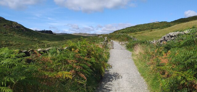
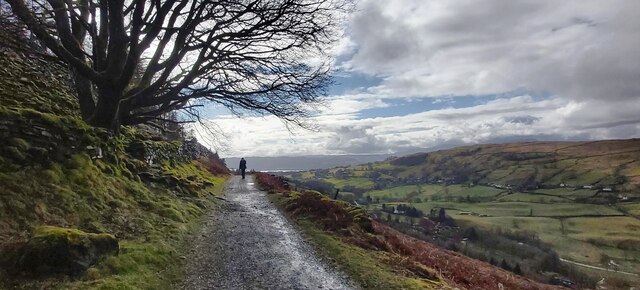
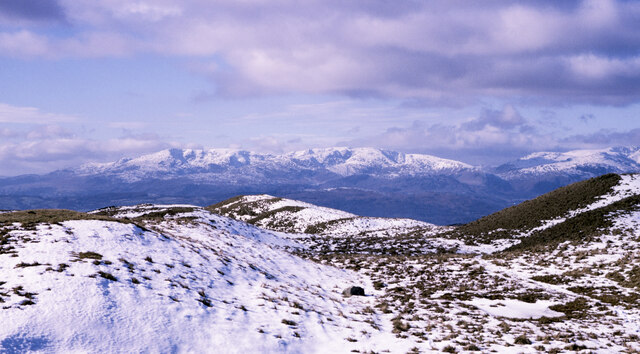
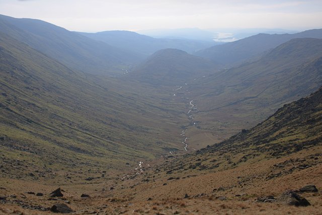
Moor Head is a prominent hill located in the county of Westmorland, in the North West of England. It is part of the larger region known as the Lake District National Park, renowned for its stunning natural landscapes. With an elevation of approximately 1,000 feet (305 meters), Moor Head offers breathtaking views of the surrounding countryside and nearby valleys.
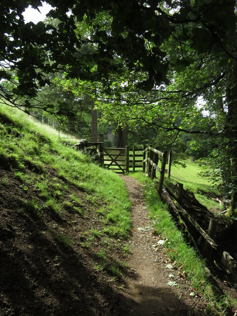
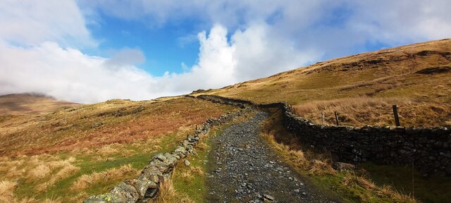
The hill is characterized by its rugged terrain, covered in a patchwork of heather, grasses, and scattered rocks. Its slopes are relatively steep, attracting avid hikers and mountaineers looking for a challenge. The summit of Moor Head provides an excellent vantage point, allowing visitors to appreciate the beauty and vastness of the Lake District.
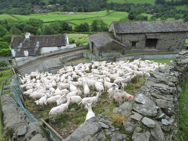
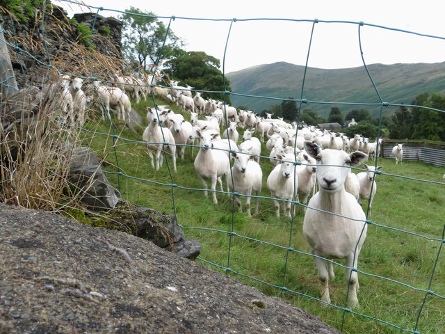
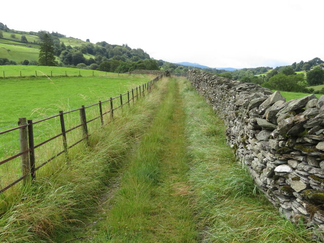
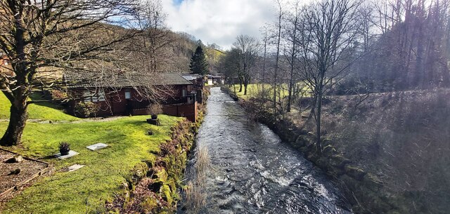
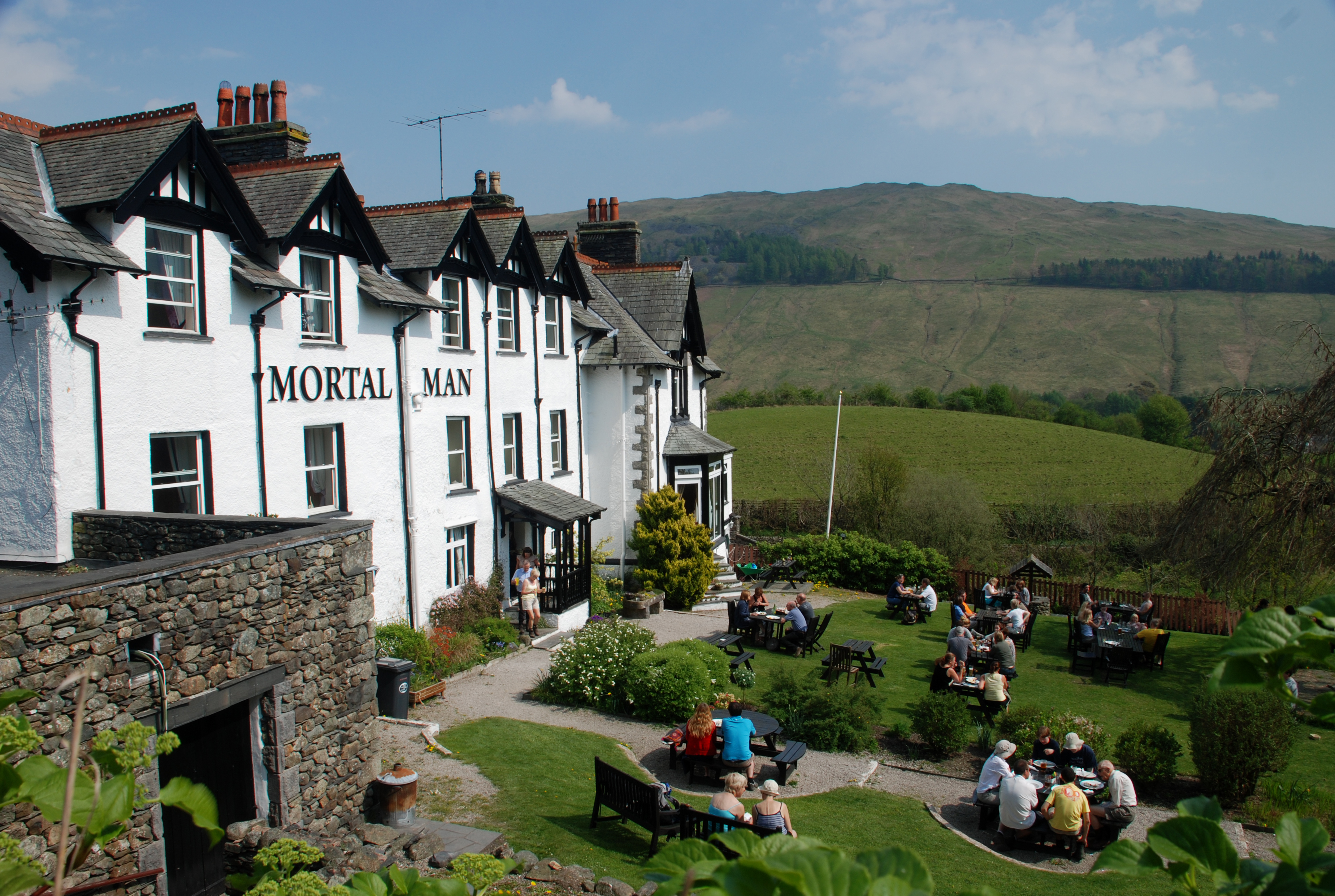
Moor Head is located in close proximity to the charming village of Westmorland, which is known for its quaint stone cottages and traditional pubs. The hill offers a popular walking route for locals and tourists alike, providing an opportunity to immerse oneself in the natural beauty of the region. The surrounding area is also home to diverse wildlife, including birds of prey such as buzzards and kestrels.
During the spring and summer months, Moor Head showcases a vibrant display of colorful wildflowers, adding to its aesthetic appeal. As with many hills in the Lake District, Moor Head experiences unpredictable weather conditions, with mist and rainstorms often making an appearance. Therefore, visitors are advised to come prepared with appropriate clothing and equipment.
Overall, Moor Head in Westmorland is a captivating hill that offers an adventurous and picturesque experience for nature enthusiasts, providing a glimpse into the enchanting landscape of the Lake District.
If you have any feedback on the listing, please let us know in the comments section below.
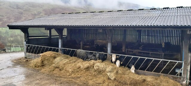
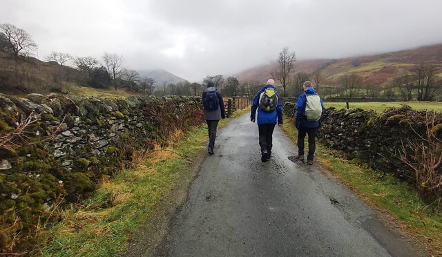
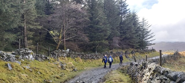
Moor Head Images
Images are sourced within 2km of 54.425824/-2.8826442 or Grid Reference NY4203. Thanks to Geograph Open Source API. All images are credited.


Moor Head is located at Grid Ref: NY4203 (Lat: 54.425824, Lng: -2.8826442)
Administrative County: Cumbria
District: South Lakeland
Police Authority: Cumbria
What 3 Words
///buying.prepared.mascots. Near Windermere, Cumbria
Nearby Locations
Related Wikis

Sour Howes
Sour Howes is a small fell in the English Lake District. It is situated five kilometres east of Ambleside, between the Troutbeck and Kentmere valleys and...

Sallows
Sallows is a fell in the English Lake District, rising between the valleys of Kentmere and Troutbeck. It is the highest point in the upland area to the...

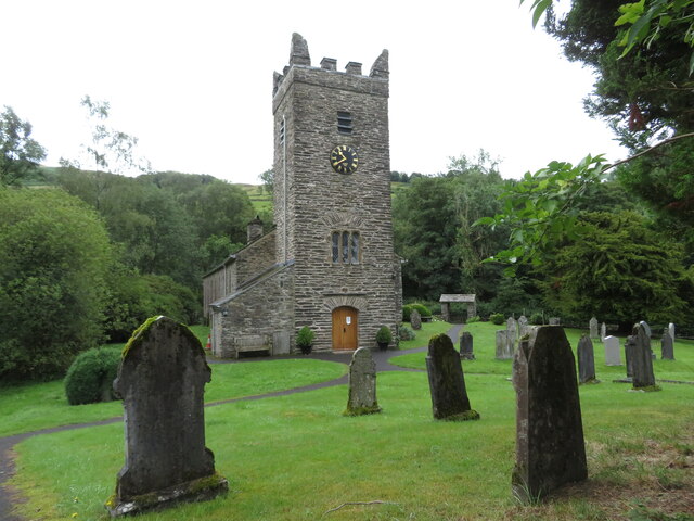
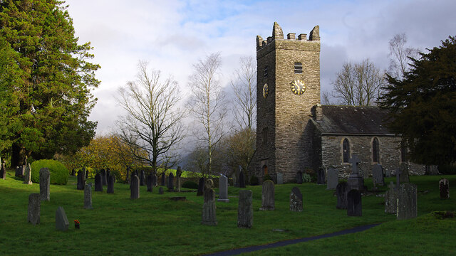
Jesus Church, Troutbeck
Jesus Church is in the village of Troutbeck in the Lake District, Cumbria, England. It is an active Anglican parish church in the deanery of Windermere...

Troutbeck Park
Troutbeck Park is a farm to the north of Troutbeck village in South Lakeland, Cumbria. In 1923, there was a risk of it being sold for development, so...
Troutbeck, Lakes
Troutbeck is a village and former civil parish, now in the parish of Lakes, in Westmorland and Furness unitary authority in the ceremonial county of...
Trout Beck
The Trout Beck is a fast flowing stream of the Lake District in North West England. It is one of the main sources of replenishment for Windermere, and...
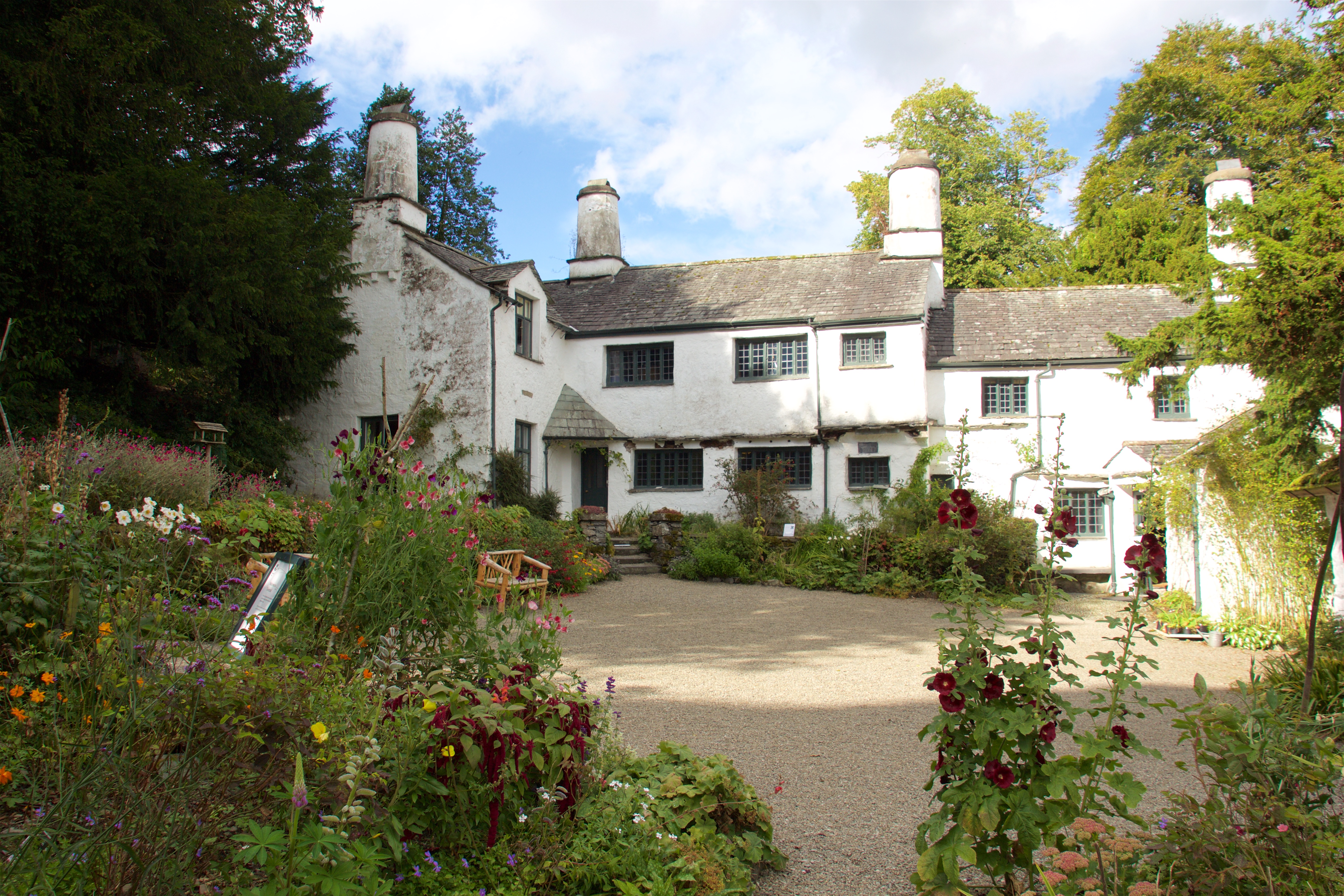
Townend
Townend is a 17th-century house located in Troutbeck, in the civil parish of Lakes, near Windermere, Cumbria, England, and in the ownership of the National...

Troutbeck Tongue
Troutbeck Tongue is a small fell in the English Lake District, three miles (five kilometres) ENE of Ambleside. It is one of 214 hills listed in Alfred...
Nearby Amenities
Located within 500m of 54.425824,-2.8826442Have you been to Moor Head?
Leave your review of Moor Head below (or comments, questions and feedback).