Bluemoor Hill

Hill, Mountain in Aberdeenshire

Scotland

Bluemoor Hill

A97 near Broomhill
A97 near Broomhill Credit: Steven Brown

Bluemoor Hill is a picturesque mountain located in Aberdeenshire, Scotland. It stands at an impressive height of 712 meters (2,336 feet) above sea level, making it one of the prominent peaks in the area. The hill is part of the Grampian Mountains, which are renowned for their rugged beauty and stunning landscapes.

The summit of Bluemoor Hill offers breathtaking panoramic views of the surrounding countryside, with rolling hills, lush green valleys, and sparkling lochs stretching as far as the eye can see. On clear days, it is even possible to catch a glimpse of the North Sea in the distance. The hill is a popular destination for hikers and outdoor enthusiasts, attracting both locals and tourists alike.

The terrain of Bluemoor Hill is predominantly rocky and rugged, providing a challenging yet rewarding experience for those who venture to its summit. The hill is covered in a patchwork of heather, creating a vibrant purple hue during the summer months. The surrounding area is also home to various wildlife species, including red deer, mountain hares, and numerous bird species.

Access to Bluemoor Hill is relatively straightforward, with various paths and trails leading to the summit. It is recommended to come prepared with suitable hiking gear and to check the weather conditions before embarking on the ascent. The hill offers a true taste of the Scottish Highlands, with its awe-inspiring beauty and tranquil atmosphere.

If you have any feedback on the listing, please let us know in the comments section below.

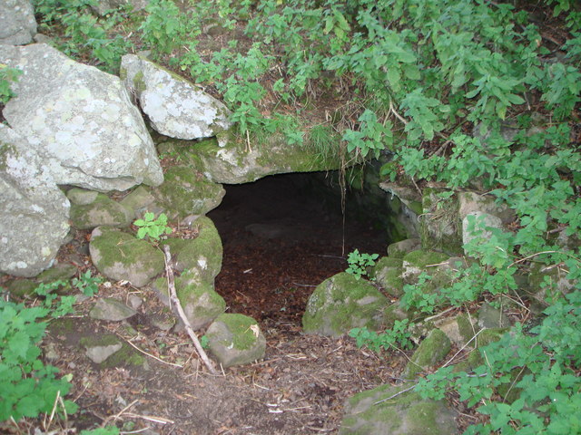
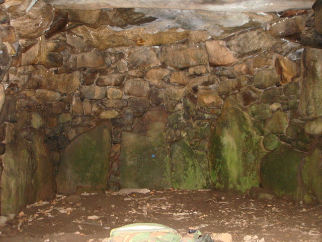
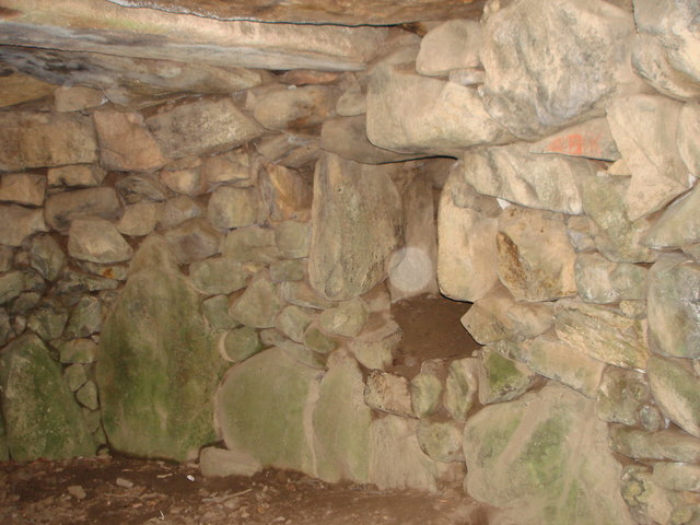
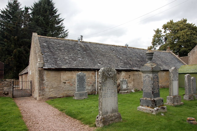
Bluemoor Hill Images

Images are sourced within 2km of 57.19992/-2.9593131 or Grid Reference NJ4212. Thanks to Geograph Open Source API. All images are credited.

A97 near Broomhill
A97 near Broomhill
A97 towards Dinnet
A97 towards Dinnet
A97 heading north
A97 heading north
Glenkindie souterrain The way into the souterrain at Gelnkindie - Sept.2007.
Glenkindie souterrain
The way into the souterrain at Gelnkindie - Sept.2007.
Glenkindie souterrain End chamber in Glenkindie souterrain - June,2008.
Glenkindie souterrain
End chamber in Glenkindie souterrain - June,2008.
Glenkindie souterrain Entrance to a side chamber in Glenkindie souterrain - Sept.2007.
Glenkindie souterrain
Entrance to a side chamber in Glenkindie souterrain - Sept.2007.
Bluemill Ruined farm buildings with rough grazing on Culag Hill.
Bluemill
Ruined farm buildings with rough grazing on Culag Hill.
Broom Ruined farm buildings.
Broom
Ruined farm buildings.
Towie parish hall Dating from ca. 1850 and possibly a former Oddfellows' hall: <span class="nowrap"><a title="https://en.wikipedia.org/wiki/Odd_Fellows" rel="nofollow ugc noopener" href="https://en.wikipedia.org/wiki/Odd_Fellows">Link</a><img style="margin-left:2px;" alt="External link" title="External link - shift click to open in new window" src="https://s1.geograph.org.uk/img/external.png" width="10" height="10"/></span> .
Towie parish hall
Dating from ca. 1850 and possibly a former Oddfellows' hall: LinkExternal link .
Towie School The school serves a sparsely populated area some 20 km west of Alford. School roll (in 2013): 31 children.
Towie School
The school serves a sparsely populated area some 20 km west of Alford. School roll (in 2013): 31 children.
Towie kirk Built 1803 and B-listed: <span class="nowrap"><a title="http://portal.historicenvironment.scot/designation/LB15933" rel="nofollow ugc noopener" href="http://portal.historicenvironment.scot/designation/LB15933">Link</a><img style="margin-left:2px;" alt="External link" title="External link - shift click to open in new window" src="https://s1.geograph.org.uk/img/external.png" width="10" height="10"/></span> .  The interior still features a gallery and the pulpit against the south wall.   The polished granite monstrosity in the right foreground adds nothing to the setting.
Towie kirk
Built 1803 and B-listed: LinkExternal link . The interior still features a gallery and the pulpit against the south wall. The polished granite monstrosity in the right foreground adds nothing to the setting.
Towie manse offices The Historic Scotland listing calls this sprawling structure the 'manse offices', which hardly seem necessary for a tiny kirk in a hamlet.
Towie manse offices
The Historic Scotland listing calls this sprawling structure the 'manse offices', which hardly seem necessary for a tiny kirk in a hamlet.
Mortsafe, Towie kirkyard For more, see: <span class="nowrap"><a title="https://en.wikipedia.org/wiki/Mortsafe" rel="nofollow ugc noopener" href="https://en.wikipedia.org/wiki/Mortsafe">Link</a><img style="margin-left:2px;" alt="External link" title="External link - shift click to open in new window" src="https://s1.geograph.org.uk/img/external.png" width="10" height="10"/></span> .   Even Towie, which must have been almost inaccessible in the early 19th Century, was not safe from grave robbers supplying the anatomy schools of Aberdeen.
Mortsafe, Towie kirkyard
For more, see: LinkExternal link . Even Towie, which must have been almost inaccessible in the early 19th Century, was not safe from grave robbers supplying the anatomy schools of Aberdeen.
Towie kirk: view from the west The bell is dated 1743 and must have come from the previous kirk at Nether Towie, about 1km to the south.
Towie kirk: view from the west
The bell is dated 1743 and must have come from the previous kirk at Nether Towie, about 1km to the south.
Old School House, Towie An unusual survivor of a Scottish parish school: <span class="nowrap"><a title="https://en.wikipedia.org/wiki/Education_Act_1696" rel="nofollow ugc noopener" href="https://en.wikipedia.org/wiki/Education_Act_1696">Link</a><img style="margin-left:2px;" alt="External link" title="External link - shift click to open in new window" src="https://s1.geograph.org.uk/img/external.png" width="10" height="10"/></span> .
Old School House, Towie
An unusual survivor of a Scottish parish school: LinkExternal link .
A gathering at Bluemill A ruined farmstead on Deskry Water.
A gathering at Bluemill
A ruined farmstead on Deskry Water.
Road from Towie crossing the A97 at Morven Looking north-westward.
Road from Towie crossing the A97 at Morven
Looking north-westward.
Track heading onto Gallows Hill and footpath to Tarland Looking south-eastward.
Track heading onto Gallows Hill and footpath to Tarland
Looking south-eastward.
Show me another place!

Bluemoor Hill is located at Grid Ref: NJ4212 (Lat: 57.19992, Lng: -2.9593131)

Unitary Authority: Aberdeenshire

Police Authority: North East

What 3 Words

///motoring.pram.history. Near Alford, Aberdeenshire

Related Wikis

Towie, Aberdeenshire

Towie is a small hamlet and civil parish in Aberdeenshire, Scotland, close to Alford and Lumsden, on the River Don.One of the most notable features of...

Glenkindie Castle

Glenkindie Castle was a 16th-century castle, about 3 miles (4.8 km) south-west of Kildrummy, Aberdeenshire, Scotland, at Glenkindie, north of the River...

Towie Castle

Towie Castle was a 17th-century tower house, about 3.5 miles (5.6 km) southwest of Kildrummy in Aberdeenshire, Scotland, on the right bank of the Don....

Glenbuchat Castle

Glenbuchat Castle is a historic Z plan Scottish castle built in 1590 for John Gordon of Cairnbarrow to mark his wedding. It is located above the River...

Nearby Amenities

Located within 500m of 57.19992,-2.9593131
Hunting Stand
Lat/Long: 57.1977389/-2.962177
Hunting Stand
Lat/Long: 57.1980314/-2.9616432
Hunting Stand
Lat/Long: 57.198314/-2.9611094
Hunting Stand
Lat/Long: 57.1985868/-2.9606301
Hunting Stand
Lat/Long: 57.1988661/-2.9601509
Hunting Stand
Lat/Long: 57.199175/-2.959605
Hunting Stand
Lat/Long: 57.1994701/-2.9590922
Hunting Stand
Lat/Long: 57.1997818/-2.9585512
The data included in this document is from www.openstreetmap.org. The data is made available under ODbL.

Have you been to Bluemoor Hill?

Leave your review of Bluemoor Hill below (or comments, questions and feedback).