Belnaboth Wood

Downs, Moorland in Aberdeenshire

Scotland

Belnaboth Wood

A97 near Broomhill
A97 near Broomhill Credit: Steven Brown

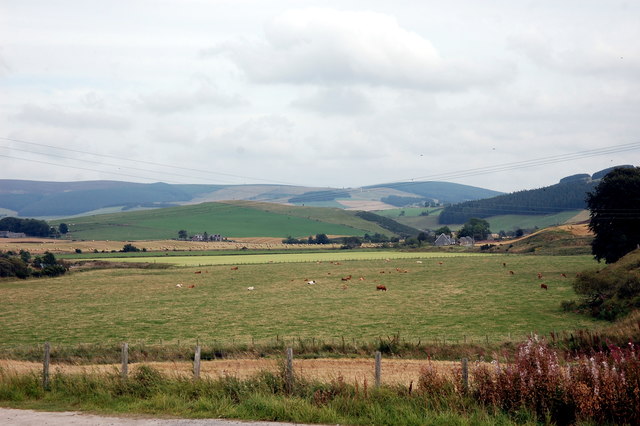
Belnaboth Wood is a picturesque natural area located in Aberdeenshire, Scotland. Situated amidst the stunning Downs and Moorland landscapes, it covers a vast expanse of approximately 200 acres. The wood is renowned for its diverse flora and fauna, offering visitors an opportunity to immerse themselves in the beauty of nature.

The wood is predominantly populated by a variety of indigenous tree species such as oak, birch, and pine, forming a dense canopy that provides shade and shelter to the woodland floor. Walking through the wood, one can witness a rich tapestry of wildflowers, including bluebells, primroses, and foxgloves, adding vibrant colors to the surroundings.

The wood is also home to a wide range of wildlife. Birdwatchers will be delighted to catch glimpses of various species, including woodpeckers, owls, and finches. If lucky, one might even spot a red squirrel darting through the treetops. The wood is also known for its population of deer, which can frequently be seen grazing in the open meadows.

For outdoor enthusiasts, Belnaboth Wood offers numerous walking trails and nature paths, allowing visitors to explore the area at their own pace. The wood is also equipped with picnic areas, making it an ideal spot for a family day out or a peaceful retreat away from the hustle and bustle of city life.

Overall, Belnaboth Wood is a precious natural gem in Aberdeenshire, offering a serene escape into the heart of nature, with its diverse flora, abundant wildlife, and tranquil surroundings.

If you have any feedback on the listing, please let us know in the comments section below.

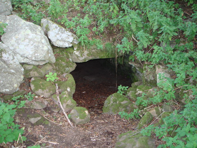
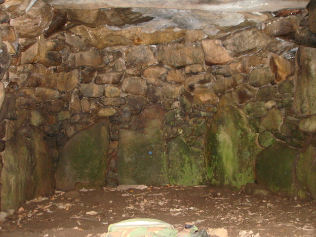
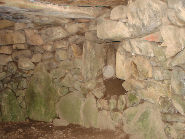
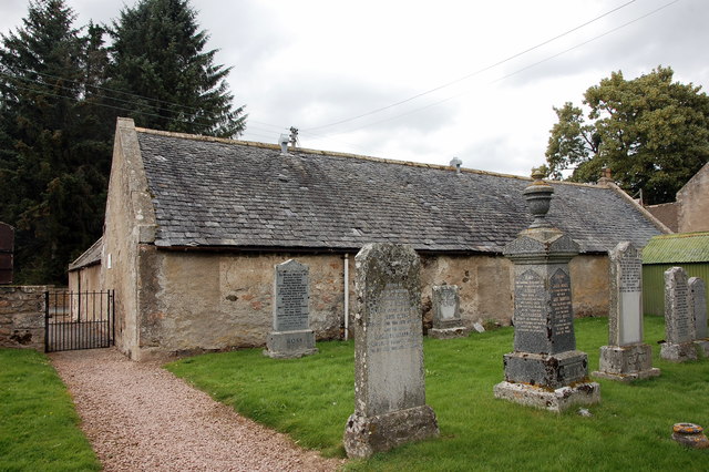
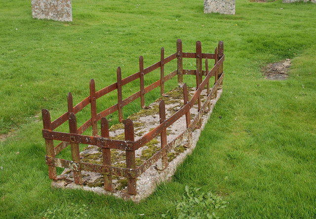
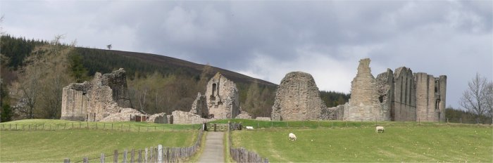
Belnaboth Wood Images

Images are sourced within 2km of 57.201723/-2.9514316 or Grid Reference NJ4212. Thanks to Geograph Open Source API. All images are credited.

A97 near Broomhill
A97 near Broomhill
A97 towards Dinnet
A97 towards Dinnet
A97 heading north
A97 heading north
Glenkindie souterrain The way into the souterrain at Gelnkindie - Sept.2007.
Glenkindie souterrain
The way into the souterrain at Gelnkindie - Sept.2007.
Glenkindie souterrain End chamber in Glenkindie souterrain - June,2008.
Glenkindie souterrain
End chamber in Glenkindie souterrain - June,2008.
Glenkindie souterrain Entrance to a side chamber in Glenkindie souterrain - Sept.2007.
Glenkindie souterrain
Entrance to a side chamber in Glenkindie souterrain - Sept.2007.
Bluemill Ruined farm buildings with rough grazing on Culag Hill.
Bluemill
Ruined farm buildings with rough grazing on Culag Hill.
Broom Ruined farm buildings.
Broom
Ruined farm buildings.
Towie parish hall Dating from ca. 1850 and possibly a former Oddfellows' hall: <span class="nowrap"><a title="https://en.wikipedia.org/wiki/Odd_Fellows" rel="nofollow ugc noopener" href="https://en.wikipedia.org/wiki/Odd_Fellows">Link</a><img style="margin-left:2px;" alt="External link" title="External link - shift click to open in new window" src="https://s1.geograph.org.uk/img/external.png" width="10" height="10"/></span> .
Towie parish hall
Dating from ca. 1850 and possibly a former Oddfellows' hall: LinkExternal link .
Towie School The school serves a sparsely populated area some 20 km west of Alford. School roll (in 2013): 31 children.
Towie School
The school serves a sparsely populated area some 20 km west of Alford. School roll (in 2013): 31 children.
Towie kirk Built 1803 and B-listed: <span class="nowrap"><a title="http://portal.historicenvironment.scot/designation/LB15933" rel="nofollow ugc noopener" href="http://portal.historicenvironment.scot/designation/LB15933">Link</a><img style="margin-left:2px;" alt="External link" title="External link - shift click to open in new window" src="https://s1.geograph.org.uk/img/external.png" width="10" height="10"/></span> .  The interior still features a gallery and the pulpit against the south wall.   The polished granite monstrosity in the right foreground adds nothing to the setting.
Towie kirk
Built 1803 and B-listed: LinkExternal link . The interior still features a gallery and the pulpit against the south wall. The polished granite monstrosity in the right foreground adds nothing to the setting.
Towie manse offices The Historic Scotland listing calls this sprawling structure the 'manse offices', which hardly seem necessary for a tiny kirk in a hamlet.
Towie manse offices
The Historic Scotland listing calls this sprawling structure the 'manse offices', which hardly seem necessary for a tiny kirk in a hamlet.
Mortsafe, Towie kirkyard For more, see: <span class="nowrap"><a title="https://en.wikipedia.org/wiki/Mortsafe" rel="nofollow ugc noopener" href="https://en.wikipedia.org/wiki/Mortsafe">Link</a><img style="margin-left:2px;" alt="External link" title="External link - shift click to open in new window" src="https://s1.geograph.org.uk/img/external.png" width="10" height="10"/></span> .   Even Towie, which must have been almost inaccessible in the early 19th Century, was not safe from grave robbers supplying the anatomy schools of Aberdeen.
Mortsafe, Towie kirkyard
For more, see: LinkExternal link . Even Towie, which must have been almost inaccessible in the early 19th Century, was not safe from grave robbers supplying the anatomy schools of Aberdeen.
Towie kirk: view from the west The bell is dated 1743 and must have come from the previous kirk at Nether Towie, about 1km to the south.
Towie kirk: view from the west
The bell is dated 1743 and must have come from the previous kirk at Nether Towie, about 1km to the south.
Old School House, Towie An unusual survivor of a Scottish parish school: <span class="nowrap"><a title="https://en.wikipedia.org/wiki/Education_Act_1696" rel="nofollow ugc noopener" href="https://en.wikipedia.org/wiki/Education_Act_1696">Link</a><img style="margin-left:2px;" alt="External link" title="External link - shift click to open in new window" src="https://s1.geograph.org.uk/img/external.png" width="10" height="10"/></span> .
Old School House, Towie
An unusual survivor of a Scottish parish school: LinkExternal link .
View eastwards from Towie
Towie war memorial The stupendously carved granite memorial (sculptor Robert Morrison) is actually located at Glenkindie, about 1 km north of Towie.  Surprisingly, it appears not to be a listed structure but its Canmore reference number is 273912: <span class="nowrap"><a title="https://canmore.org.uk/site/273912/towie-war-memorial" rel="nofollow ugc noopener" href="https://canmore.org.uk/site/273912/towie-war-memorial">Link</a><img style="margin-left:2px;" alt="External link" title="External link - shift click to open in new window" src="https://s1.geograph.org.uk/img/external.png" width="10" height="10"/></span>.
Towie war memorial
The stupendously carved granite memorial (sculptor Robert Morrison) is actually located at Glenkindie, about 1 km north of Towie. Surprisingly, it appears not to be a listed structure but its Canmore reference number is 273912: LinkExternal link.
Towie war memorial: south elevation
Show me another place!

Belnaboth Wood is located at Grid Ref: NJ4212 (Lat: 57.201723, Lng: -2.9514316)

Unitary Authority: Aberdeenshire

Police Authority: North East

What 3 Words

///heave.officers.aboard. Near Alford, Aberdeenshire

Related Wikis

Towie, Aberdeenshire

Towie is a small hamlet and civil parish in Aberdeenshire, Scotland, close to Alford and Lumsden, on the River Don.One of the most notable features of...

Towie Castle

Towie Castle was a 17th-century tower house, about 3.5 miles (5.6 km) southwest of Kildrummy in Aberdeenshire, Scotland, on the right bank of the Don....

Glenkindie Castle

Glenkindie Castle was a 16th-century castle, about 3 miles (4.8 km) south-west of Kildrummy, Aberdeenshire, Scotland, at Glenkindie, north of the River...

Glenbuchat Castle

Glenbuchat Castle is a historic Z plan Scottish castle built in 1590 for John Gordon of Cairnbarrow to mark his wedding. It is located above the River...

Grampian

Grampian (Scottish Gaelic: Roinn a' Mhonaidh) was one of nine former local government regions of Scotland created in 1975 by the Local Government (Scotland...

Kildrummy Castle

Kildrummy Castle is a ruined castle near Kildrummy, in Aberdeenshire, Scotland. Though ruined, it is one of the most extensive castles dating from the...

Scottish Sculpture Open

The Scottish Sculpture Open exhibition, sometimes known as the Kildrummy Open, was organised by the Scottish Sculpture Workshop from 1981 to 1997. The...

Castle Newe

Castle Newe was a castellated mansion house, situated in Aberdeenshire, and designed in 1831 by Archibald Simpson. It was based on an existing Z-plan castle...

Nearby Amenities

Located within 500m of 57.201723,-2.9514316
Tom Beith
Ele: 409
Natural: peak
Lat/Long: 57.2034126/-2.9523709
Power: pole
Lat/Long: 57.1976449/-2.9494651
Power: pole
Lat/Long: 57.1983737/-2.9489797
Power: pole
Lat/Long: 57.1991113/-2.9484976
Power: pole
Lat/Long: 57.1997731/-2.9480937
Power: pole
Lat/Long: 57.2004101/-2.9476702
Power: pole
Lat/Long: 57.2010913/-2.947162
Power: pole
Lat/Long: 57.2017283/-2.9467841
Power: pole
Lat/Long: 57.2023847/-2.9470284
Power: pole
Lat/Long: 57.2030781/-2.9472011
Power: pole
Lat/Long: 57.2035933/-2.9470969
Power: pole
Lat/Long: 57.2042691/-2.9469014
Power: pole
Lat/Long: 57.2047817/-2.9454534
Hunting Stand
Lat/Long: 57.1997818/-2.9585512
The data included in this document is from www.openstreetmap.org. The data is made available under ODbL.

Have you been to Belnaboth Wood?

Leave your review of Belnaboth Wood below (or comments, questions and feedback).