Hard Law

Hill, Mountain in Midlothian

Scotland

Hard Law

The remains of Ewes Castle There is not much to see of this ruined tower house by the Lugate Water. My previous visit was in 2007 <a href="https://www.geograph.org.uk/photo/410068">NT4344 : Ewes Castle</a>.
The remains of Ewes Castle Credit: Walter Baxter

Hard Law is a prominent hill located in the Midlothian region of Scotland. Standing at an elevation of approximately 405 meters (1,329 feet), it is classified as a hill rather than a mountain. Despite its relatively modest height, Hard Law offers breathtaking panoramic views of the surrounding countryside.

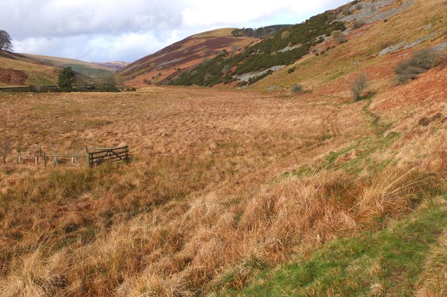
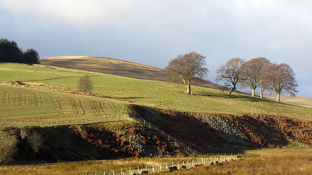
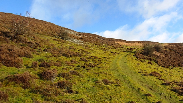
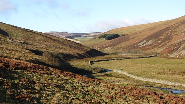
Located within the Pentland Hills Regional Park, Hard Law is a popular destination for hikers, nature enthusiasts, and outdoor adventurers. The hill is easily accessible from various points, with a well-maintained network of trails and paths leading to its summit. These trails cater to people of all abilities, making it an ideal spot for both experienced hikers and casual walkers.

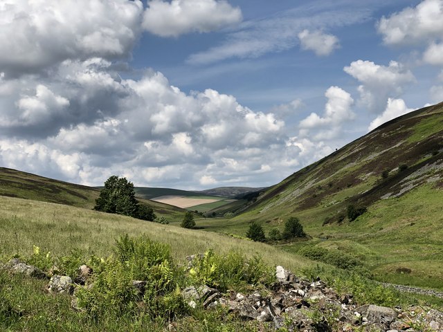
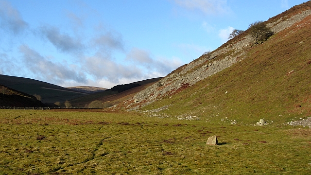
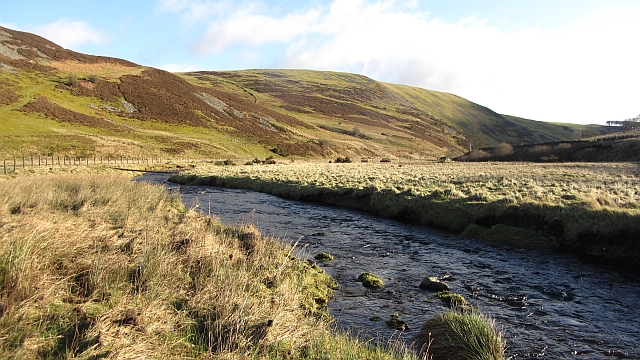
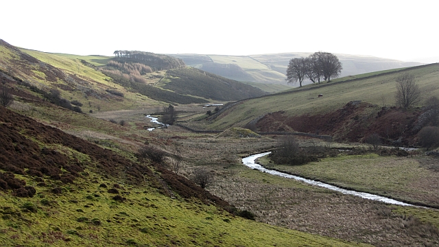
The hill is characterized by its gentle slopes, which are covered with heather and grass, providing a picturesque landscape in all seasons. As visitors ascend Hard Law, they are rewarded with stunning views of the Pentland Hills, as well as the city of Edinburgh in the distance. On clear days, it is even possible to catch glimpses of the Firth of Forth and the East Lothian coast.

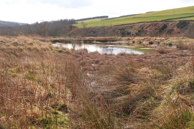
Wildlife enthusiasts will appreciate the diverse flora and fauna that inhabit the area surrounding Hard Law. The hill is home to a variety of bird species, including kestrels, buzzards, and skylarks, making it a haven for birdwatching. Additionally, the surrounding moorland provides habitat for a range of small mammals, such as rabbits and voles.

Overall, Hard Law offers a beautiful and accessible outdoor experience, combining natural beauty, scenic views, and wildlife encounters. Whether it's a leisurely stroll or a challenging hike, this Midlothian hill provides an opportunity for all to appreciate the stunning landscapes of the Scottish countryside.

If you have any feedback on the listing, please let us know in the comments section below.
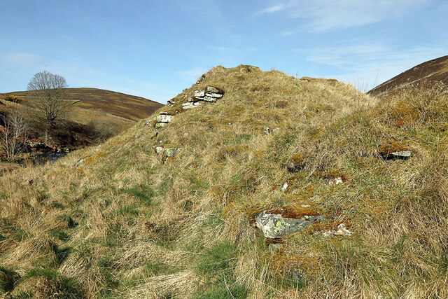
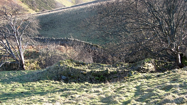
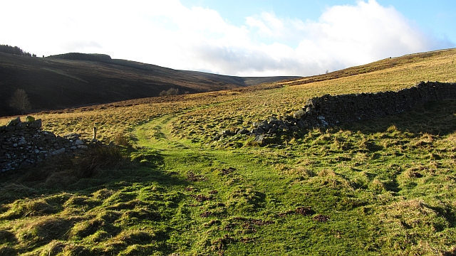
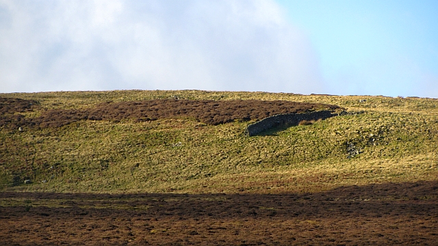
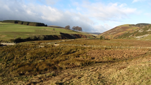
Hard Law Images

Images are sourced within 2km of 55.684625/-2.9220322 or Grid Reference NT4243. Thanks to Geograph Open Source API. All images are credited.

The remains of Ewes Castle There is not much to see of this ruined tower house by the Lugate Water. My previous visit was in 2007 <a href="https://www.geograph.org.uk/photo/410068">NT4344 : Ewes Castle</a>.
The remains of Ewes Castle
There is not much to see of this ruined tower house by the Lugate Water. My previous visit was in 2007 NT4344 : Ewes Castle.
Ewes Castle (remains of) Ruins of Ewes Castle next to the Lugate Water looking North West along the valley
Ewes Castle (remains of)
Ruins of Ewes Castle next to the Lugate Water looking North West along the valley
Old fish farm, Lugate Water The pond of a former fish farm to the east of the Lugate Water (information from 'Walking the Scottish Borders and East Lothian' by Mary Welsh and Christine Isherwood (Clan Books 2011)).
Old fish farm, Lugate Water
The pond of a former fish farm to the east of the Lugate Water (information from 'Walking the Scottish Borders and East Lothian' by Mary Welsh and Christine Isherwood (Clan Books 2011)).
Valley of the Lugate Water The narrow valley continues for another 2km or so to the area where the Ewes Water, Thrashie Burn and other streams join to form the Lugate Water.
Valley of the Lugate Water
The narrow valley continues for another 2km or so to the area where the Ewes Water, Thrashie Burn and other streams join to form the Lugate Water.
The foot of Lugate Rig A scattering of trees beside an unnamed ruin. The view is from the east side of the Lugate Water.
The foot of Lugate Rig
A scattering of trees beside an unnamed ruin. The view is from the east side of the Lugate Water.
Path on Cottie Hill A quadbike track running down to the Lugate Water from Cottie Hill. The slopes of the glen here are rocky with sizable areas of scree.
Path on Cottie Hill
A quadbike track running down to the Lugate Water from Cottie Hill. The slopes of the glen here are rocky with sizable areas of scree.
Looking up the Lugate Water A mossy haugh contrasts with steep screes. Further up the glen, the land becomes gentler and has been improved for agriculture.
Looking up the Lugate Water
A mossy haugh contrasts with steep screes. Further up the glen, the land becomes gentler and has been improved for agriculture.
Lugate Water The Lugate Water, upstream of Ewes Castle. There is no bridge here even though one is marked on the Ordnance Survey map. I just got wet feet. The burn is quite deep in places. The pole across the water is a trap.
Lugate Water
The Lugate Water, upstream of Ewes Castle. There is no bridge here even though one is marked on the Ordnance Survey map. I just got wet feet. The burn is quite deep in places. The pole across the water is a trap.
Gately A ruin at the foot of the glen carrying the Gately Burn.
Gately
A ruin at the foot of the glen carrying the Gately Burn.
Gately A quad bike track runs up the glen of the Gately Burn. There are many dykes here suggesting improved agriculture in the past, perhaps associated with the ruins at Gately.
<a href="https://www.geograph.org.uk/photo/2775774">NT4344 : Gately</a>
Gately
A quad bike track runs up the glen of the Gately Burn. There are many dykes here suggesting improved agriculture in the past, perhaps associated with the ruins at Gately. NT4344 : Gately
Isolated dyke section, Gately Rig A very short stretch of drystane dyking set amongst grouse moor and the odd bit of dun grassland.  In the Moorfoot Hills, Midlothian.
Isolated dyke section, Gately Rig
A very short stretch of drystane dyking set amongst grouse moor and the odd bit of dun grassland. In the Moorfoot Hills, Midlothian.
The Lugate Glen Looking upstream over a marshy glen floor into the Moorfoot Hills. There is a footbridge here carrying the old route between Scroof and Stagehall over the Lugate Water
The Lugate Glen
Looking upstream over a marshy glen floor into the Moorfoot Hills. There is a footbridge here carrying the old route between Scroof and Stagehall over the Lugate Water
Lugate Water A view downstream, past the ruins of Ewes Castle.
Lugate Water
A view downstream, past the ruins of Ewes Castle.
Sheep fank, Gately A ruined circular sheep fold above the Lugate Water.
Sheep fank, Gately
A ruined circular sheep fold above the Lugate Water.
Lugate Water There was quite a bit of water in the burn today and crossing was cold and uncomfortable.
Lugate Water
There was quite a bit of water in the burn today and crossing was cold and uncomfortable.
Lugate Water Looking up the glen from Gately.
Lugate Water
Looking up the glen from Gately.
Gately Rig Dykes above the ruins of Gately.
Gately Rig
Dykes above the ruins of Gately.
Head of the Gately Burn Rough moorland under Scroof Hill.
Head of the Gately Burn
Rough moorland under Scroof Hill.
Show me another place!

Hard Law is located at Grid Ref: NT4243 (Lat: 55.684625, Lng: -2.9220322)

Unitary Authority: The Scottish Borders

Police Authority: The Lothians and Scottish Borders

What 3 Words

///luckier.receiving.contracting. Near Galashiels, Scottish Borders

Nearby Locations

Hard Law New Wood

Related Wikis

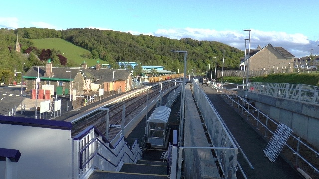
Stow railway station

Stow is a railway station on the Borders Railway, which runs between Edinburgh Waverley and Tweedbank. The station, situated 26 miles 45 chains (43 km...

Stow of Wedale

Stow of Wedale, or more often Stow, is a village in the Scottish Borders area of Scotland (historically Midlothian), 7 miles (11 kilometres) north of...

Stow of Wedale Town Hall

Stow of Wedale Town Hall is a municipal building in Earlston Road, Stow of Wedale, Scottish Borders, Scotland. The structure, which serves as a community...

Bow Castle Broch

Bow Castle is the remains of an iron-age broch near the Gala Water, in the Scottish Borders area of Scotland, in the parish of Stow. It is a scheduled...

Have you been to Hard Law?

Leave your review of Hard Law below (or comments, questions and feedback).