Allen Knott
Hill, Mountain in Westmorland South Lakeland
England
Allen Knott
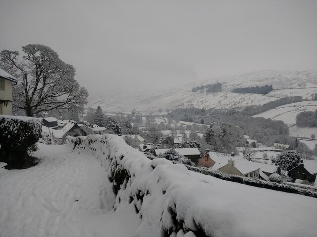
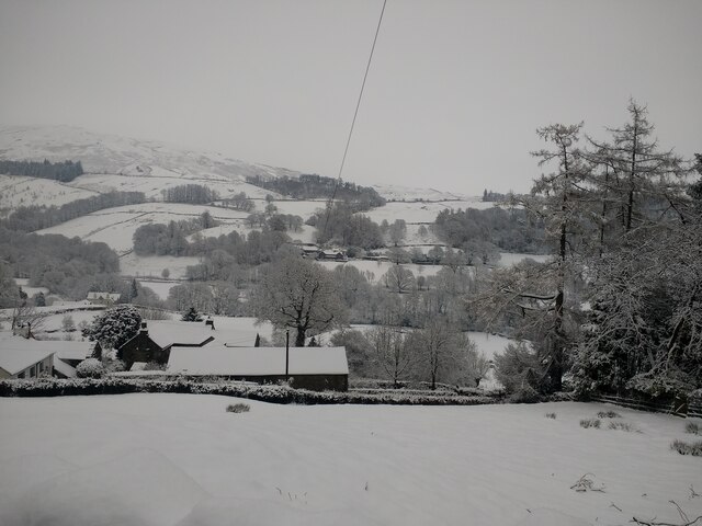
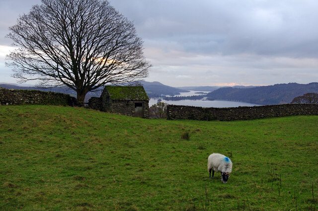
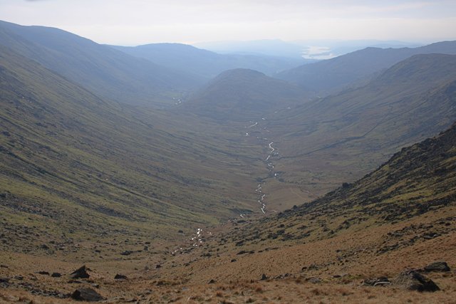
Allen Knott is a prominent hill located in Westmorland, a county in the North West of England. Standing proudly at an elevation of 1,235 feet (376 meters), it offers breathtaking panoramic views of the surrounding area and is a popular destination for hikers, nature enthusiasts, and photographers.
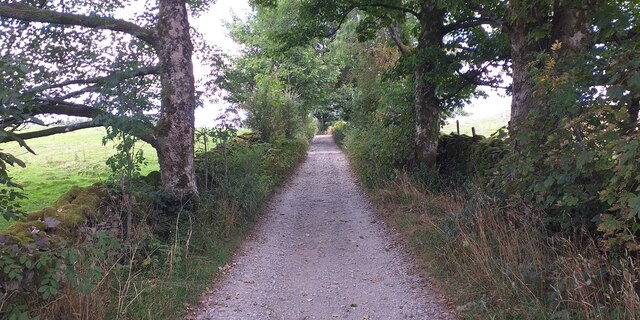
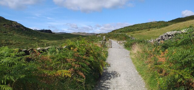
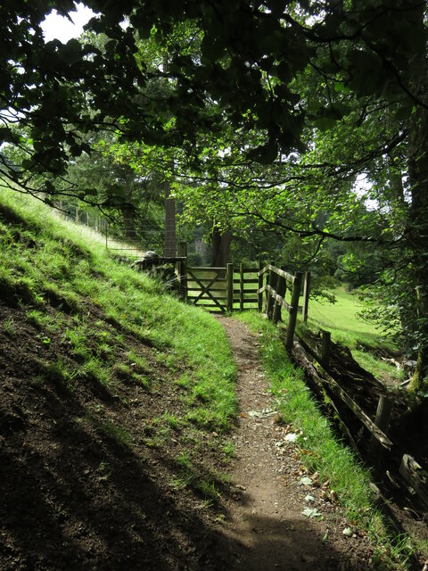
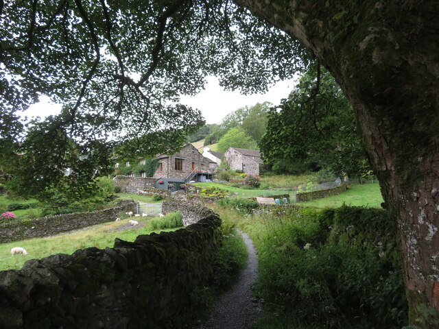
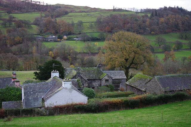
Situated in the beautiful Lake District National Park, Allen Knott is characterized by its distinctive shape and rugged terrain. The hill is known for its steep slopes, rocky outcrops, and lush green vegetation, making it a challenging yet rewarding climb for outdoor enthusiasts.
The summit of Allen Knott provides a remarkable vantage point, allowing visitors to admire the picturesque landscapes that encompass the area. On clear days, one can see the sprawling countryside, rolling hills, serene lakes, and even distant mountains.
The hill is also home to a diverse range of flora and fauna. As hikers ascend the slopes, they will encounter various plant species, including heather, ferns, and wildflowers, adding color and beauty to the surroundings. Wildlife such as birds, rabbits, and occasional deer can also be spotted during the climb.
For those seeking adventure and a chance to connect with nature, Allen Knott offers an ideal location. Its accessibility, stunning views, and natural beauty make it a must-visit destination for outdoor enthusiasts and anyone looking to experience the wonders of Westmorland's countryside.
If you have any feedback on the listing, please let us know in the comments section below.
Allen Knott Images
Images are sourced within 2km of 54.401616/-2.9039523 or Grid Reference NY4101. Thanks to Geograph Open Source API. All images are credited.

Allen Knott is located at Grid Ref: NY4101 (Lat: 54.401616, Lng: -2.9039523)
Administrative County: Cumbria
District: South Lakeland
Police Authority: Cumbria
What 3 Words
///dangerously.view.finer. Near Windermere, Cumbria
Nearby Locations
Related Wikis

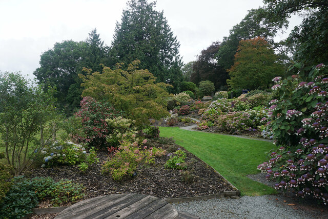
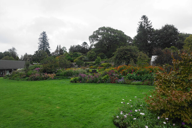
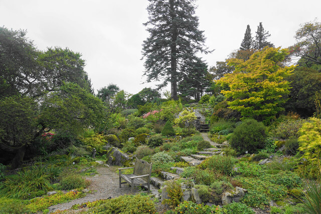
Holehird Gardens
Holehird Gardens is an extensive 10-acre site located near Windermere, Cumbria, England. It is the home of the Lakeland Horticultural Society. The garden...

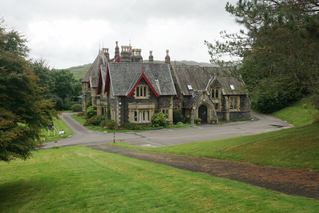
Windermere School
Windermere School is an independent, coeducational boarding and day school in the English Lake District. Founded in 1863, it has approximately 360 pupils...
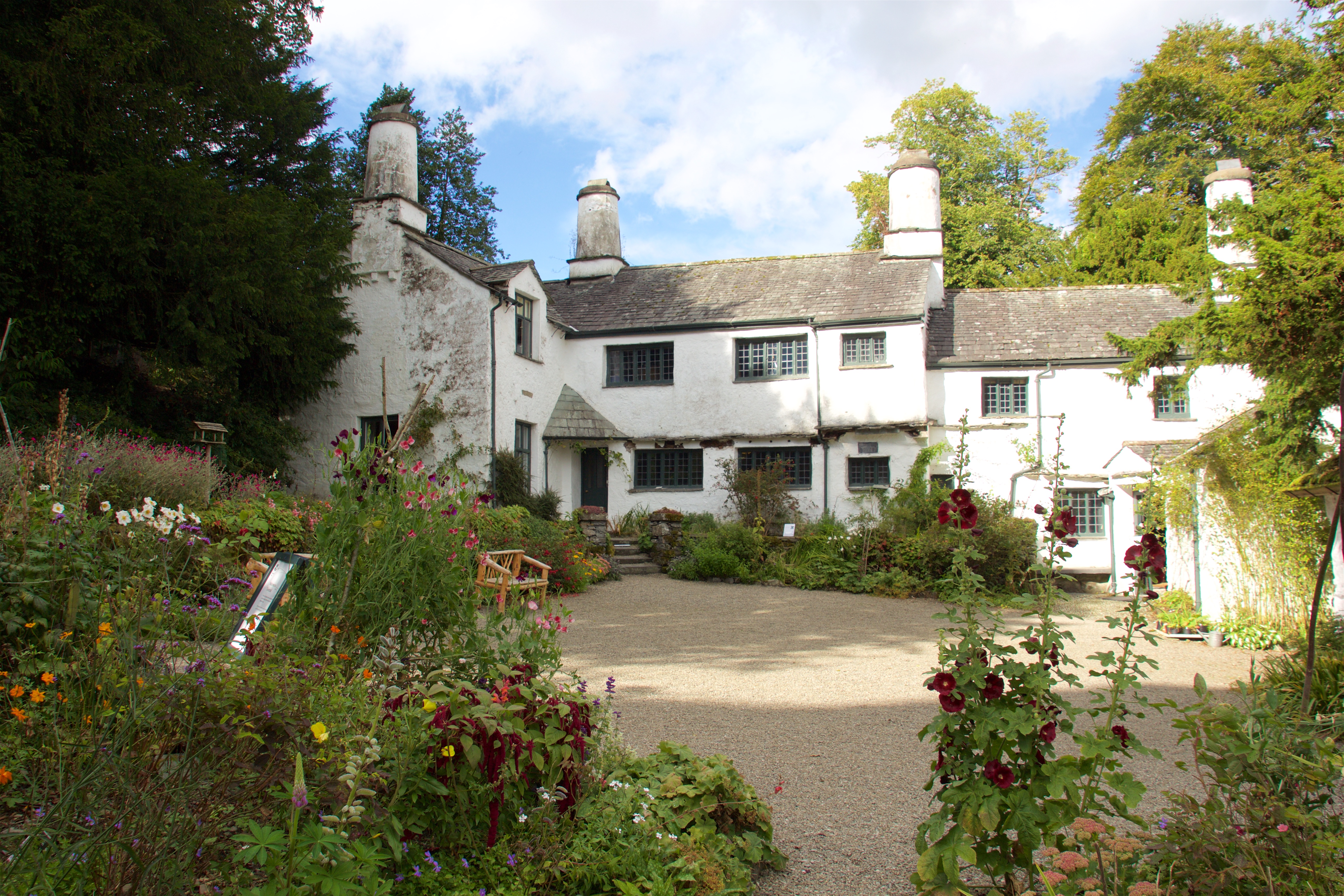
Townend
Townend is a 17th-century house located in Troutbeck, in the civil parish of Lakes, near Windermere, Cumbria, England, and in the ownership of the National...

Troutbeck Bridge
Troutbeck Bridge is a village in the civil parish of Windermere and Bowness, in the Westmorland and Furness district, in the ceremonial county of Cumbria...
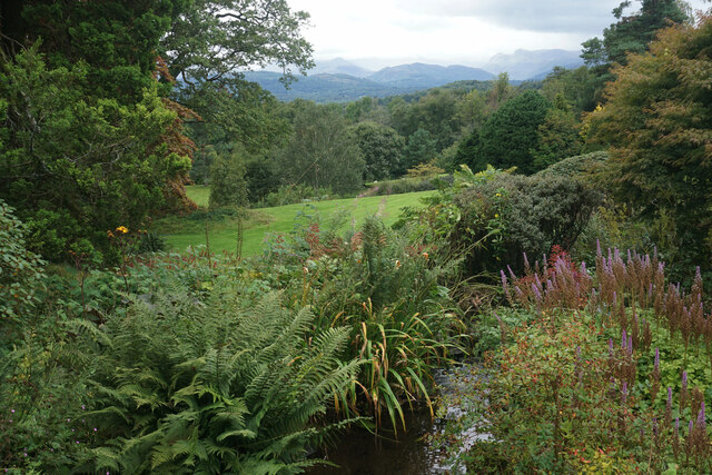
Trout Beck
The Trout Beck is a fast flowing stream of the Lake District in North West England. It is one of the main sources of replenishment for Windermere, and...
Windermere and Troutbeck
Windermere and Troutbeck (including Bridge House) is a National Trust property consisting of land around Windermere, a lake in Cumbria, England. This National...

The Lakes School
The Lakes School is a coeducational secondary school and sixth form located in Troutbeck Bridge, Windermere, in the English county of Cumbria.It is a comprehensive...

Orrest Head
Orrest Head is a hill in the English Lake District on the eastern shores of Windermere. It is the subject of a chapter in Wainwright's The Outlying Fells...
Nearby Amenities
Located within 500m of 54.401616,-2.9039523Have you been to Allen Knott?
Leave your review of Allen Knott below (or comments, questions and feedback).