Latrigg Tarn

Lake, Pool, Pond, Freshwater Marsh in Westmorland South Lakeland

England

Latrigg Tarn

Looking across Troutbeck from the end of Hundreds Road in the snow
Looking across Troutbeck from the end of Hundreds Road in the snow Credit: shikari

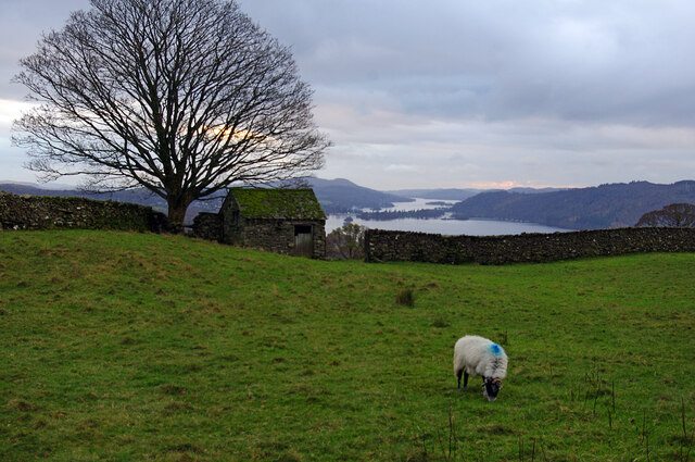
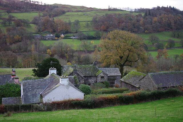
Latrigg Tarn is a picturesque freshwater body located in the region of Westmorland, Cumbria, England. Situated amidst the stunning beauty of the Lake District National Park, this tranquil tarn is a popular destination for nature enthusiasts and hikers alike.

Covering an area of approximately 2 acres, Latrigg Tarn can be found nestled on the eastern slopes of the renowned Latrigg fell. It is easily accessible via a well-maintained footpath, making it a favorite spot for visitors looking to immerse themselves in the splendid landscape of the area.

The tarn is characterized by its crystal-clear, freshwater, which is sourced from natural springs and rainfall. Surrounded by lush vegetation and verdant hills, it provides a serene and idyllic setting. The calm waters of Latrigg Tarn reflect the surrounding landscape, creating a mesmerizing sight that captivates visitors throughout the year.

The tarn is home to a diverse range of plant and animal species, including water lilies, reeds, and various types of aquatic insects and birds. It serves as a vital habitat for local wildlife, contributing to the overall biodiversity of the region.

Latrigg Tarn offers a peaceful retreat for those seeking solitude and natural beauty. Visitors can enjoy leisurely walks around the tarn, taking in the panoramic views of the surrounding fells and valleys. It is also a popular spot for photography enthusiasts, who seek to capture the essence of the Lake District's enchanting charm.

Overall, Latrigg Tarn stands as a testament to the captivating allure of the Lake District, showcasing the harmonious blend of water, land, and wildlife that makes this region a beloved destination for nature lovers.

If you have any feedback on the listing, please let us know in the comments section below.
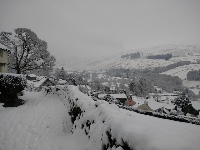
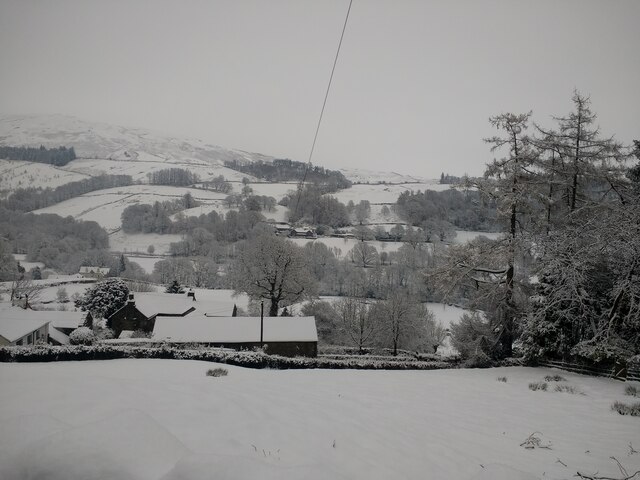
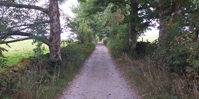
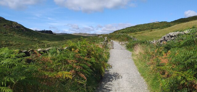
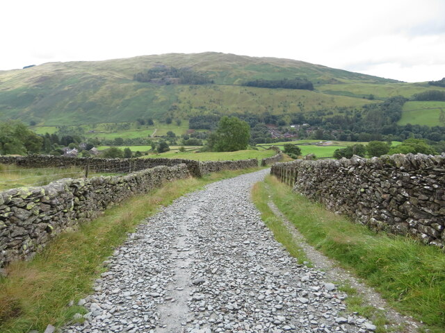
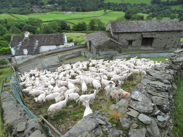
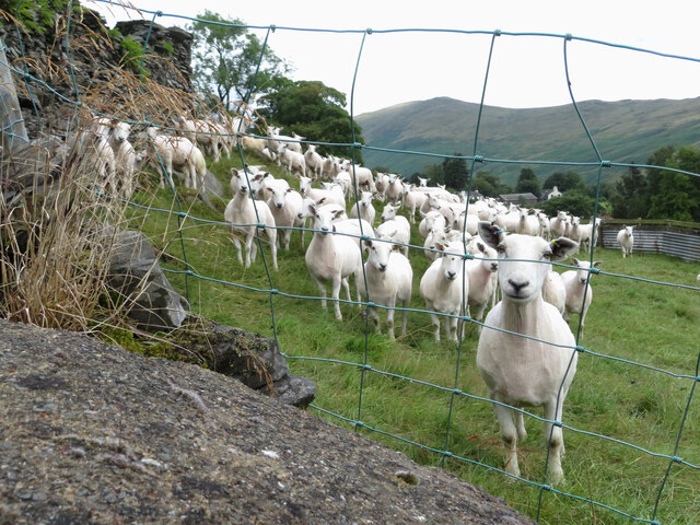
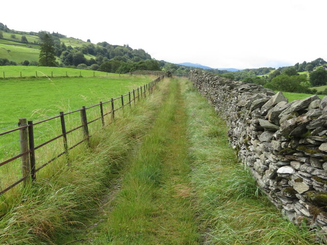
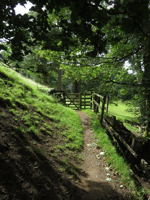
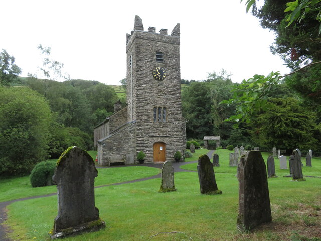
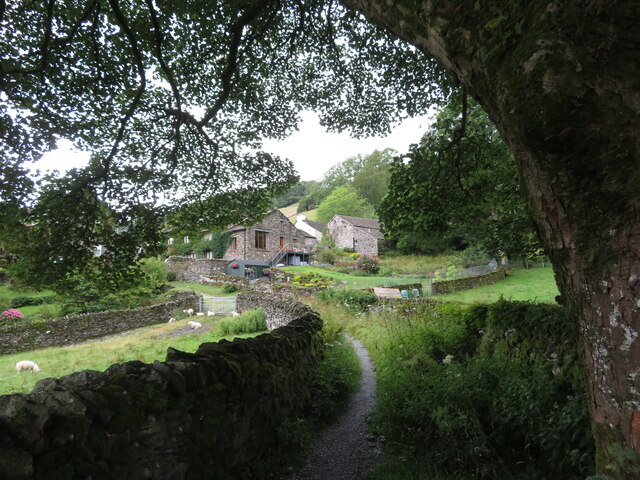
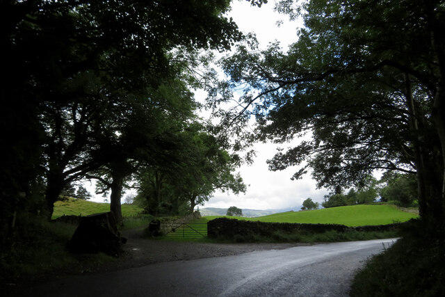
Latrigg Tarn Images

Images are sourced within 2km of 54.408707/-2.9004414 or Grid Reference NY4101. Thanks to Geograph Open Source API. All images are credited.

Looking across Troutbeck from the end of Hundreds Road in the snow
View east from Hundreds Road across the Troutbeck valley in the snow
Dubbs Road Dubbs Road leading to Dubbs reservoir.
Dubbs Road
Dubbs Road leading to Dubbs reservoir.
Dubhs Road below Applethwaite Common Dubhs Road below Applethwaite Common.
Dubhs Road below Applethwaite Common
Dubhs Road below Applethwaite Common.
Nanny Lane, approaching Troutbeck
Sheep near Troutbeck
Path near Troutbeck
Path near Troutbeck
Path through trees near Troutbeck
Troutbeck church
Troutbeck church
Footpath approaching Low Fold
Fields and footpath near a bend in the road
Farmland by Robin Lane Field barn and grazing land above Troutbeck. Windermere is in the distance.
Farmland by Robin Lane
Field barn and grazing land above Troutbeck. Windermere is in the distance.
Troutbeck from Robin Lane The village of Troutbeck is spread along the valley, mostly on the west side, with a few clusters of farms and houses.
There is a high proportion of listed buildings.
Troutbeck from Robin Lane
The village of Troutbeck is spread along the valley, mostly on the west side, with a few clusters of farms and houses. There is a high proportion of listed buildings.
Jesus Church, Troutbeck Grade II* Listed Building. See <span class="nowrap"><a title="https://historicengland.org.uk/listing/the-list/list-entry/1271827" rel="nofollow ugc noopener" href="https://historicengland.org.uk/listing/the-list/list-entry/1271827">Link</a><img style="margin-left:2px;" alt="External link" title="External link - shift click to open in new window" src="https://s1.geograph.org.uk/img/external.png" width="10" height="10"/></span>
Jesus Church, Troutbeck
Grade II* Listed Building. See LinkExternal link
Hydrangeas at Holehird Holehird Gardens maintain several National Collections. The hydrangeas held this status for a while but the local climate proved a bit too challenging for some varieties. The gardens now concentrate on varieties which can thrive locally.
Hydrangeas at Holehird
Holehird Gardens maintain several National Collections. The hydrangeas held this status for a while but the local climate proved a bit too challenging for some varieties. The gardens now concentrate on varieties which can thrive locally.
Holehird Care Home This was for many years a Leonard Cheshire care home but it has been closed for about a year. The local council is trying to dispose of the building.
Holehird Care Home
This was for many years a Leonard Cheshire care home but it has been closed for about a year. The local council is trying to dispose of the building.
Holehird Gardens An excellent fellside garden from where you can see up to Langdale.
Holehird Gardens
An excellent fellside garden from where you can see up to Langdale.
Show me another place!

Latrigg Tarn is located at Grid Ref: NY4101 (Lat: 54.408707, Lng: -2.9004414)

Administrative County: Cumbria

District: South Lakeland

Police Authority: Cumbria

What 3 Words

///besotted.challenge.erase. Near Windermere, Cumbria

Nearby Locations

Allen Knott Latrigg Tarn

Related Wikis

Trout Beck

The Trout Beck is a fast flowing stream of the Lake District in North West England. It is one of the main sources of replenishment for Windermere, and...

Townend

Townend is a 17th-century house located in Troutbeck, in the civil parish of Lakes, near Windermere, Cumbria, England, and in the ownership of the National...

Jesus Church, Troutbeck

Jesus Church is in the village of Troutbeck in the Lake District, Cumbria, England. It is an active Anglican parish church in the deanery of Windermere...
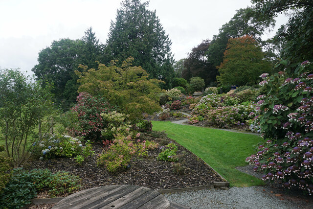
Holehird Gardens

Holehird Gardens is an extensive 10-acre site located near Windermere, Cumbria, England. It is the home of the Lakeland Horticultural Society. The garden...

Nearby Amenities

Located within 500m of 54.408707,-2.9004414
Fusethwaite Yeat
Ele: 273.1
Is In Country Code: GB
Is In County: Cumbria
Is In Region: Lake District
Natural: peak
Source: npe
Lat/Long: 54.4052236/-2.8965937
The Howe
Ele: 229.8
Is In Country Code: GB
Is In County: Cumbria
Is In Region: Lake District
Man Made: survey_point
Natural: peak
Source: npe
Lat/Long: 54.41098/-2.9031646
Barrier: stile
Lat/Long: 54.4098379/-2.9026521
Longmire
Place: locality
Lat/Long: 54.4095829/-2.9055546
Whinny Howe
Place: locality
Lat/Long: 54.4092431/-2.901282
Latrigg
Place: locality
Lat/Long: 54.4072895/-2.9010638
Ele: 288
Natural: peak
Lat/Long: 54.4121018/-2.8963678
Power: pole
Lat/Long: 54.4067166/-2.8939935
Power: pole
Lat/Long: 54.4067689/-2.8954039
Power: pole
Lat/Long: 54.4068226/-2.8965597
Power: pole
Lat/Long: 54.4068488/-2.8970814
Power: pole
Lat/Long: 54.4067805/-2.8973935
Power: pole
Lat/Long: 54.4066192/-2.8980999
Power: pole
Lat/Long: 54.4063679/-2.8992083
Fixme: Unfinished
Power: pole
Lat/Long: 54.4057315/-2.9021864
Power: pole
Lat/Long: 54.4060433/-2.9008167
Power: pole
Lat/Long: 54.4073099/-2.9040109
Power: pole
Lat/Long: 54.408492/-2.9045737
The data included in this document is from www.openstreetmap.org. The data is made available under ODbL.

Have you been to Latrigg Tarn?

Leave your review of Latrigg Tarn below (or comments, questions and feedback).