Priors Holt Hill

Hill, Mountain in Shropshire

England

Priors Holt Hill

Bridleway & Footpath junction Three footpaths and a bridleway (The Jack Mytton Way) all converge here at this gateway, which is near to the highest point on the south end of the Mynd. Well signposted, it's hard to go the wrong way.
Bridleway & Footpath junction Credit: Richard Law

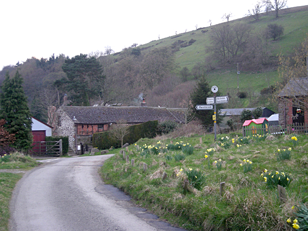
Priors Holt Hill, located in Shropshire, England, is a prominent hill that offers stunning views and a range of recreational activities for visitors. Standing at an elevation of approximately 500 feet, it is often regarded as one of the highest points in the county.

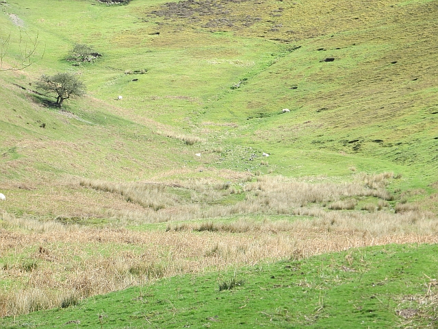
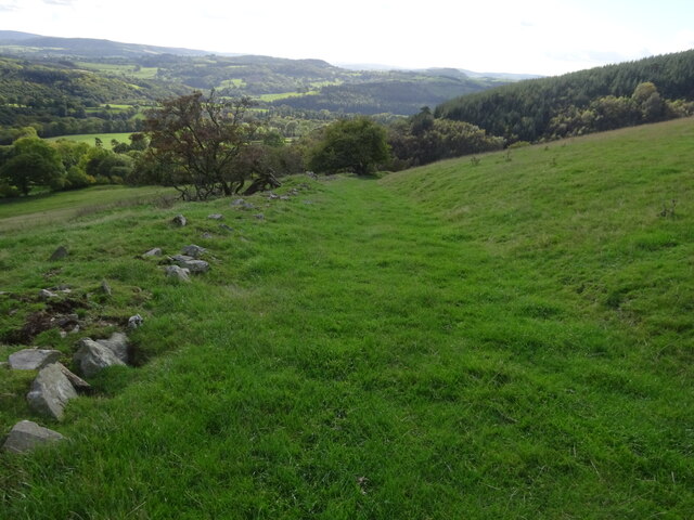
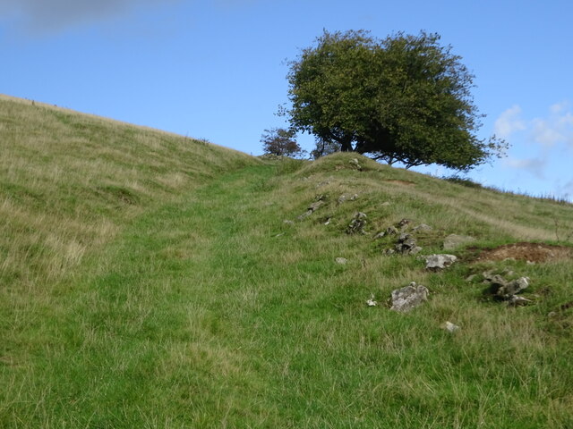
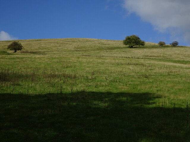
The hill is a part of the wider Stiperstones ridge, which is renowned for its rugged and rocky terrain. Priors Holt Hill itself is characterized by its steep slopes and diverse vegetation, including heather, bracken, and gorse, creating a picturesque landscape that changes dramatically with the seasons.

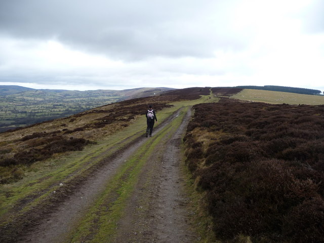
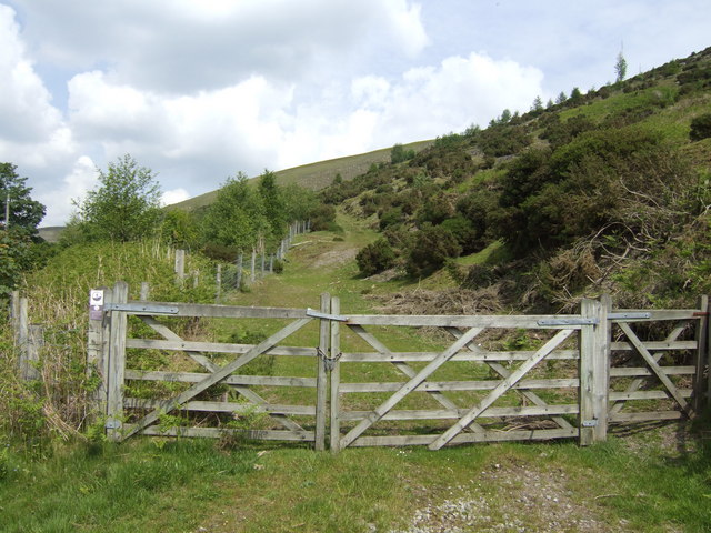
The hill is a popular destination for hikers and nature enthusiasts, offering various walking trails that cater to different levels of difficulty. The most common route starts from the nearby village of Pontesbury, leading up to the summit where a trig point marks the highest point. From there, visitors are rewarded with breathtaking panoramic views of the surrounding countryside, including the Stiperstones ridge and the Shropshire Hills Area of Outstanding Natural Beauty.

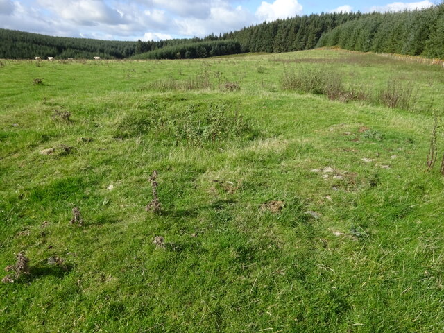
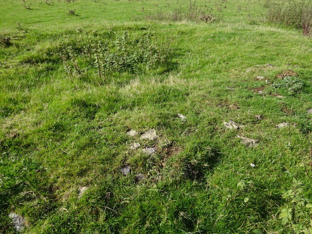
Historically, Priors Holt Hill was a significant location for lead mining, and remnants of this industry can still be seen in the form of old mine shafts and spoil heaps. The hill is also known for its rich wildlife, with sightings of birds, reptiles, and mammals being common.

Additionally, Priors Holt Hill has a deep connection to local folklore, with legends of supernatural beings and ghostly apparitions being associated with the hill and its surroundings. These tales only add to the mystique and allure of this remarkable natural landmark in Shropshire.

If you have any feedback on the listing, please let us know in the comments section below.

Priors Holt Hill Images

Images are sourced within 2km of 52.503475/-2.8646119 or Grid Reference SO4189. Thanks to Geograph Open Source API. All images are credited.

Bridleway & Footpath junction Three footpaths and a bridleway (The Jack Mytton Way) all converge here at this gateway, which is near to the highest point on the south end of the Mynd. Well signposted, it's hard to go the wrong way.
Bridleway & Footpath junction
Three footpaths and a bridleway (The Jack Mytton Way) all converge here at this gateway, which is near to the highest point on the south end of the Mynd. Well signposted, it's hard to go the wrong way.
'The Jack Mytton Way' & 'Shropshire Way' above Myndtown
Long walk on the Long Mynd The Long Mynd carries the ancient Port Way and the more recent Ride UK 's Jack Mytton Way and the Shropshire Way footpath also.
Long walk on the Long Mynd
The Long Mynd carries the ancient Port Way and the more recent Ride UK 's Jack Mytton Way and the Shropshire Way footpath also.
Heather moorland on the Long Mynd Approaching Handless on the moorland top of the southern Long Mynd.
Heather moorland on the Long Mynd
Approaching Handless on the moorland top of the southern Long Mynd.
Riding off the Mynd near Handless Riders in the 2012 Marshbrook MTB Marathon Event come down an excellent (rough, twisty, rocky...) descent, and emerge onto the narrow lane that runs along the western side of the Mynd, heading for a long flog up the Stiperstones in a few miles. The vehicles on the left are part of the event support, including a First Aid truck.
Riding off the Mynd near Handless
Riders in the 2012 Marshbrook MTB Marathon Event come down an excellent (rough, twisty, rocky...) descent, and emerge onto the narrow lane that runs along the western side of the Mynd, heading for a long flog up the Stiperstones in a few miles. The vehicles on the left are part of the event support, including a First Aid truck.
MTB riders near Handless Farm Participants in the 2012 MTB Marathon event (based at Marshbrook) riding along the narrow lane on the west side of the Mynd, near Handless, after the 2nd descent of the day, with another 3 big climbs to do.
MTB riders near Handless Farm
Participants in the 2012 MTB Marathon event (based at Marshbrook) riding along the narrow lane on the west side of the Mynd, near Handless, after the 2nd descent of the day, with another 3 big climbs to do.
Reentrant above Myndtown A wide hollow on the west side of the Long Mynd.
Reentrant above Myndtown
A wide hollow on the west side of the Long Mynd.
Reentrant above Myndtown Sheep graze on steep slopes on the west side of the Long Mynd.
Reentrant above Myndtown
Sheep graze on steep slopes on the west side of the Long Mynd.
Botley Stone tumulus A Bronze Age and rather rare ring cairn on Churchmoor Hill. Hardly noticeable but very evocative of past lives.
Botley Stone tumulus
A Bronze Age and rather rare ring cairn on Churchmoor Hill. Hardly noticeable but very evocative of past lives.
Botley Stone tumulus The original stones of this rare Bronze Age ring cairn are clearly visible on its circumference
Botley Stone tumulus
The original stones of this rare Bronze Age ring cairn are clearly visible on its circumference
Green pathway leading off Churchmoor Hill Glorious trail and views
Green pathway leading off Churchmoor Hill
Glorious trail and views
Footpath on southern Churchmoor Hill slopes Well marked old farming route
Footpath on southern Churchmoor Hill slopes
Well marked old farming route
Lower slopes of Churchmoor Hill The descending footpath is marked by the trees on the horizon
Lower slopes of Churchmoor Hill
The descending footpath is marked by the trees on the horizon
Footpath leading up Nut Batch above Priors Holt Lovely wooded path leading up the side of Priots Holt Hill
Footpath leading up Nut Batch above Priors Holt
Lovely wooded path leading up the side of Priots Holt Hill
Decaying old farm trailer Gradually moulding into the natural environment
Decaying old farm trailer
Gradually moulding into the natural environment
Old Milestone by the B4370, north west of Whittingslow Carved stone post by the B4370, in parish of Wistanstow (South Shropshire District), opposite Crosspipes House; North East of Whittingslow junction, by the road, on South East side of road. Bishop's Castle arched stone, erected by the Bishop's Castle turnpike trust in the 19th century. An earlier photograph can be found here <a title="https://www.geograph.org.uk/photo/6072017" href="https://www.geograph.org.uk/photo/6072017">Link</a>.

Inscription reads:-
MILES
B. CASTLE 8
M. BROOK 1

Grade II listed. 
List Entry Number: 1269791 <span class="nowrap"><a title="https://historicengland.org.uk/listing/the-list/list-entry/1269791" rel="nofollow ugc noopener" href="https://historicengland.org.uk/listing/the-list/list-entry/1269791">Link</a><img style="margin-left:2px;" alt="External link" title="External link - shift click to open in new window" src="https://s1.geograph.org.uk/img/external.png" width="10" height="10"/></span>

Milestone Society National ID: SA_MBBC01
Old Milestone by the B4370, north west of Whittingslow
Carved stone post by the B4370, in parish of Wistanstow (South Shropshire District), opposite Crosspipes House; North East of Whittingslow junction, by the road, on South East side of road. Bishop's Castle arched stone, erected by the Bishop's Castle turnpike trust in the 19th century. An earlier photograph can be found here Link. Inscription reads:- MILES B. CASTLE 8 M. BROOK 1 Grade II listed. List Entry Number: 1269791 LinkExternal link Milestone Society National ID: SA_MBBC01
Old Milestone by the B4370, north west of Whittingslow Carved stone post by the B4370, in parish of Wistanstow (South Shropshire District), opposite Crosspipes House; Northeast of Whittingslow junction, by the road, on Southeast side of road. Bishop's Castle arched stone, erected by the Bishop's Castle turnpike trust in the 19th century. An earlier photograph can be found here <a title="https://www.geograph.org.uk/photo/6072017" href="https://www.geograph.org.uk/photo/6072017">Link</a>.

Inscription reads:-
MILES
B. CASTLE 8
M. BROOK 1

Grade II listed. 
List Entry Number: 1269791 <span class="nowrap"><a title="https://historicengland.org.uk/listing/the-list/list-entry/1269791" rel="nofollow ugc noopener" href="https://historicengland.org.uk/listing/the-list/list-entry/1269791">Link</a><img style="margin-left:2px;" alt="External link" title="External link - shift click to open in new window" src="https://s1.geograph.org.uk/img/external.png" width="10" height="10"/></span>

Milestone Society National ID: SA_MBBC01
Old Milestone by the B4370, north west of Whittingslow
Carved stone post by the B4370, in parish of Wistanstow (South Shropshire District), opposite Crosspipes House; Northeast of Whittingslow junction, by the road, on Southeast side of road. Bishop's Castle arched stone, erected by the Bishop's Castle turnpike trust in the 19th century. An earlier photograph can be found here Link. Inscription reads:- MILES B. CASTLE 8 M. BROOK 1 Grade II listed. List Entry Number: 1269791 LinkExternal link Milestone Society National ID: SA_MBBC01
Access land above Handless A piece of NT land on the western slope of the Long Mynd ridge south of Asterton.
Access land above Handless
A piece of NT land on the western slope of the Long Mynd ridge south of Asterton.
Show me another place!

Priors Holt Hill is located at Grid Ref: SO4189 (Lat: 52.503475, Lng: -2.8646119)

Unitary Authority: Shropshire

Police Authority: West Mercia

What 3 Words

///flanked.shredding.salon. Near Church Stretton, Shropshire

Related Wikis

Hamperley

Hamperley is a dispersed hamlet in Shropshire, England. It is mainly located in the parish of Church Stretton, 2+1⁄2 miles southwest of Little Stretton...

Cwm Head

Cwm Head is a hamlet in Shropshire, England. The name is part-Welsh, part-English and means "Head of the Valley". It is located in the parish of Wistanstow...

Minton, Shropshire

Minton is a hamlet in Shropshire, England. It is located in the parish of Church Stretton, 2+1⁄2 miles (4.0 km) southwest of the market town of Church...

Whittingslow

Whittingslow is a hamlet in Shropshire, England. It is located in the parish of Wistanstow, just off the B4370 road, between Marshbrook and Cwm Head. The...

Nearby Amenities

Located within 500m of 52.503475,-2.8646119
Historic: archaeological_site
Lat/Long: 52.5062451/-2.8651918
The data included in this document is from www.openstreetmap.org. The data is made available under ODbL.

Have you been to Priors Holt Hill?

Leave your review of Priors Holt Hill below (or comments, questions and feedback).