Beech Knowe

Hill, Mountain in Midlothian

Scotland

Beech Knowe

Road by Preston Mains Midlothian yellow road.
Road by Preston Mains Credit: Richard Webb

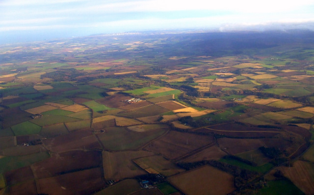
Beech Knowe is a prominent hill located in the region of Midlothian, Scotland. Situated near the town of Penicuik, it forms part of the stunning Pentland Hills range, which stretches across the southern outskirts of Edinburgh. Rising to an elevation of approximately 467 meters (1,532 feet), Beech Knowe offers visitors breathtaking panoramic views of the surrounding landscape.

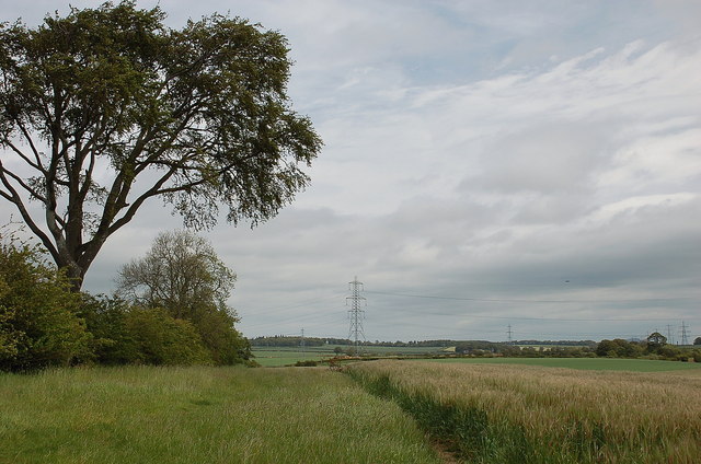
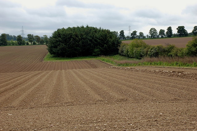
The hill is characterized by its verdant rolling slopes, covered in a mix of heather, grasses, and scattered patches of woodland, including beech trees, from which it derives its name. It is a popular destination for hikers, nature enthusiasts, and photography enthusiasts, who flock to the area to capture the scenic beauty of the Scottish countryside.

Beech Knowe is home to a diverse range of flora and fauna, including a variety of bird species, such as buzzards and kestrels, which can often be spotted soaring through the skies above. The hill is also inhabited by a multitude of small mammals, including rabbits, foxes, and deer, adding to the area's natural charm.

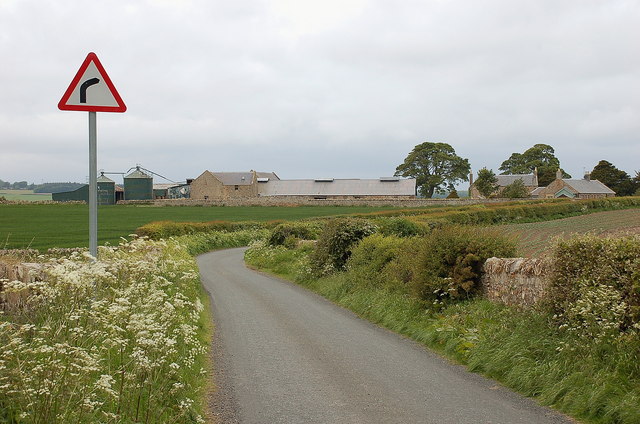
The hill is easily accessible, with well-maintained paths and trails leading to its summit. It offers opportunities for both leisurely walks and more challenging hikes, catering to visitors of all fitness levels. The surrounding Pentland Hills also provide additional recreational activities, such as mountain biking, horse riding, and even skiing during the winter months.

Overall, Beech Knowe in Midlothian is a picturesque hill that offers visitors a chance to immerse themselves in the stunning natural beauty of the Scottish countryside, with its rolling slopes, diverse wildlife, and breathtaking vistas.

If you have any feedback on the listing, please let us know in the comments section below.
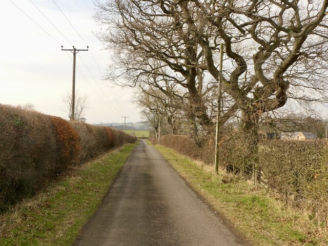
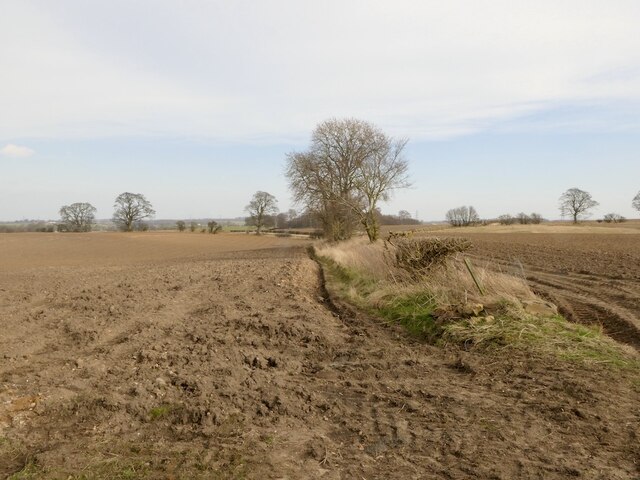
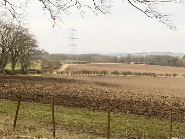
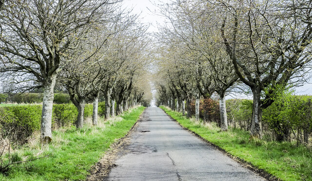
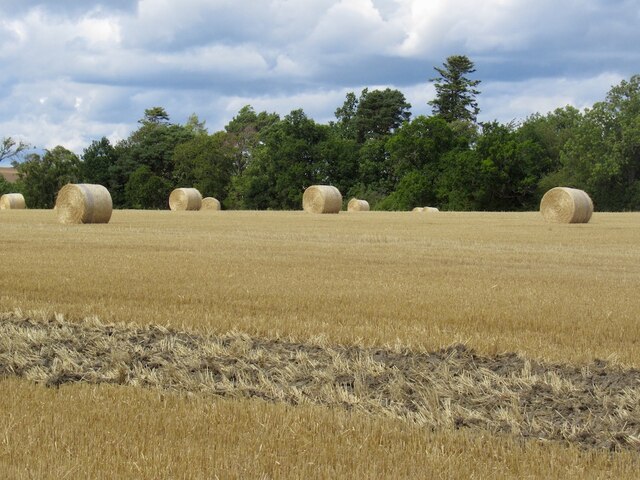
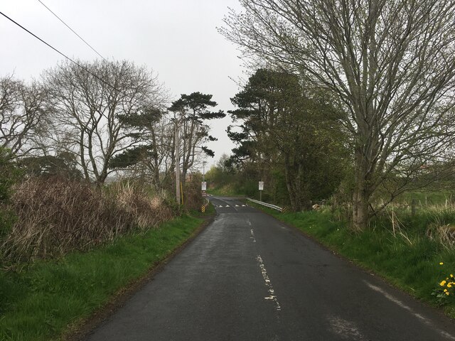
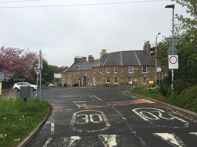
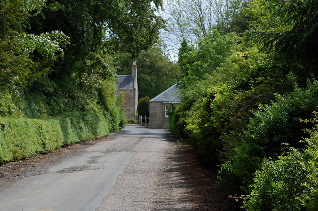
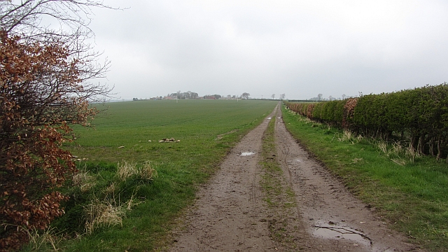
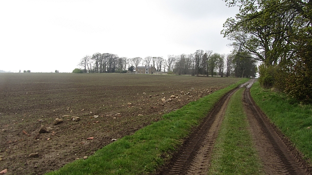
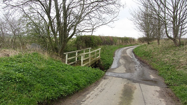
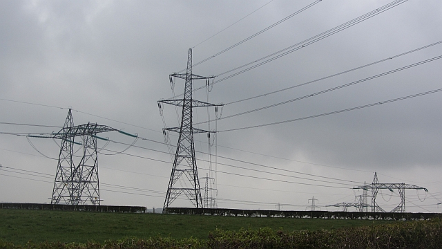
Beech Knowe Images

Images are sourced within 2km of 55.872386/-2.9501783 or Grid Reference NT4064. Thanks to Geograph Open Source API. All images are credited.

Road by Preston Mains Midlothian yellow road.
Road by Preston Mains
Midlothian yellow road.
Ploughed fields near Pathhead Dry soil awaiting sowing, probably spring barley.
Ploughed fields near Pathhead
Dry soil awaiting sowing, probably spring barley.
North side of Dodridge Law
Tree-lined road near to A68 A minor road heading towards Whitburgh Mains Farm on the north-east side of the A68 close to Pathhead.
Tree-lined road near to A68
A minor road heading towards Whitburgh Mains Farm on the north-east side of the A68 close to Pathhead.
Temporary road, The Murrays Work on the power line.
Temporary road, The Murrays
Work on the power line.
Power lines, The Murrays A complex arrangement of power lines one currently being refurbished.
Power lines, The Murrays
A complex arrangement of power lines one currently being refurbished.
Round bales, Preston
B6367 near Pathhead
B6367 near Pathhead
Junction of the B6367 and A68 at Pathhead
Road to Rose Mains A farm access road from the B6367.
Road to Rose Mains
A farm access road from the B6367.
Barley field near Remote The oddly named Remote farm is to the west, though is not particularly distant compared with many hill farms - perhaps there is another explanation.
Barley field near Remote
The oddly named Remote farm is to the west, though is not particularly distant compared with many hill farms - perhaps there is another explanation.
Ploughed field near Loanhead In the farming country of the Midlothian / East Lothian border.
Ploughed field near Loanhead
In the farming country of the Midlothian / East Lothian border.
Buildings at Loanhead The path shown between Loanhead and Pathhead is a snare and a delusion - not very easy to follow.
Buildings at Loanhead
The path shown between Loanhead and Pathhead is a snare and a delusion - not very easy to follow.
Whitburgh from the air Whitburgh Mains Farm is at the centre of the bottom of the photo, Whitburgh House can also be seen, as can the sawmill at Windy Mains. Viewed from a flight from Prague heading for Edinburgh.
Whitburgh from the air
Whitburgh Mains Farm is at the centre of the bottom of the photo, Whitburgh House can also be seen, as can the sawmill at Windy Mains. Viewed from a flight from Prague heading for Edinburgh.
Farm track, Peaston Runs from Peaston to the southwest, crossing the Moor Road.
Farm track, Peaston
Runs from Peaston to the southwest, crossing the Moor Road.
Farm road, Dodridge Muddy after quite a few tractor movements.
Farm road, Dodridge
Muddy after quite a few tractor movements.
Ford, Kinchie Burn A very small watercourse which does not even warrant a road sign.
Ford, Kinchie Burn
A very small watercourse which does not even warrant a road sign.
Ducking under Power lines crossing at The Murrays. The profusion is due to the addition of Torness power station in the 1980s, there is a line running down off the Lammermuir Hills.

The Murrays is one of only two dairy farms in East Lothian. Yester <a href="https://www.geograph.org.uk/photo/712536">NT5366 : Yester Mains</a> is famous, but it has taken me a while to find the other one.
Ducking under
Power lines crossing at The Murrays. The profusion is due to the addition of Torness power station in the 1980s, there is a line running down off the Lammermuir Hills. The Murrays is one of only two dairy farms in East Lothian. Yester NT5366 : Yester Mains is famous, but it has taken me a while to find the other one.
Show me another place!

Beech Knowe is located at Grid Ref: NT4064 (Lat: 55.872386, Lng: -2.9501783)

Unitary Authority: Midlothian

Police Authority: The Lothians and Scottish Borders

What 3 Words

///cabinet.encourage.twit. Near Ormiston, East Lothian

Nearby Locations

Beech Knowe

Related Wikis

Pathhead, Midlothian

Pathhead village is a conservation area in Midlothian, Scotland. == Location == Pathhead is located around 4 miles (6.4 km) south east of Dalkeith and...

Preston Hall, Midlothian

Preston Hall, or Prestonhall, is a late-18th-century mansion in Midlothian, to the south of Edinburgh, Scotland. It is located 1.5 kilometres (0.93 mi...

Oxenfoord Castle

Oxenfoord Castle is a country house in Midlothian, Scotland. It is located 1 kilometre (0.62 mi) north of Pathhead, Midlothian, and 6 kilometres (3.7 mi...

Peaston

Peaston is a small settlement on the B6371 road in the parish of Ormiston in East Lothian, Scotland, about 14 miles (23 km) south-east of Edinburgh, 7...

Nearby Amenities

Located within 500m of 55.872386,-2.9501783
Power: pole
Lat/Long: 55.8756016/-2.9554954
Power: pole
Lat/Long: 55.8759979/-2.9542973
Power: pole
Lat/Long: 55.8763918/-2.9531388
The data included in this document is from www.openstreetmap.org. The data is made available under ODbL.

Have you been to Beech Knowe?

Leave your review of Beech Knowe below (or comments, questions and feedback).