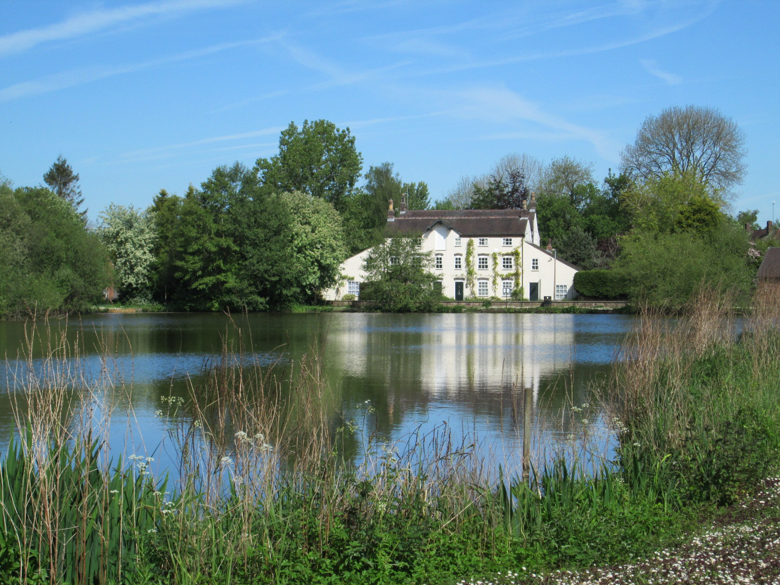
Bar Hill
Settlement in Staffordshire Newcastle-under-Lyme
England
Bar Hill
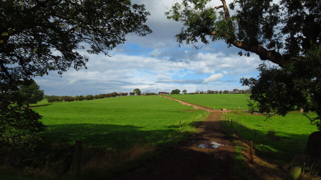
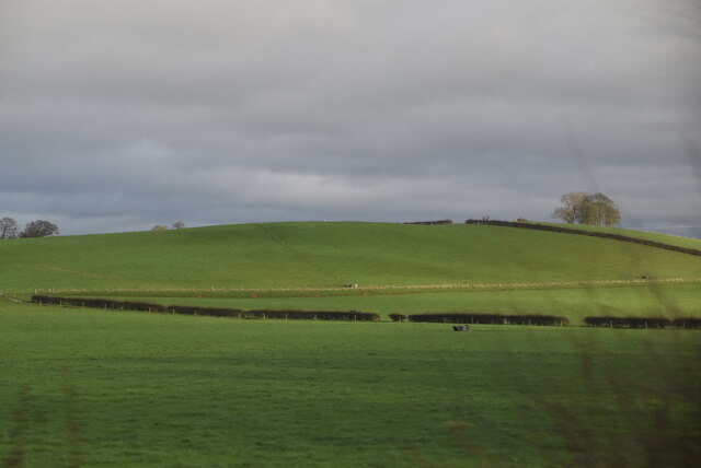
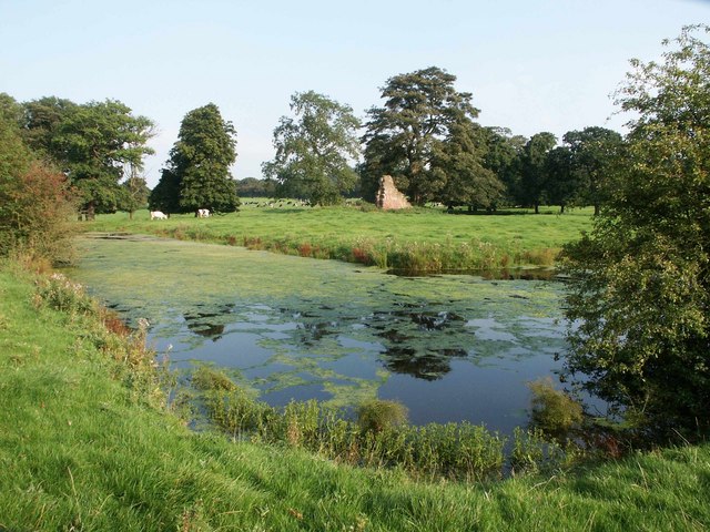
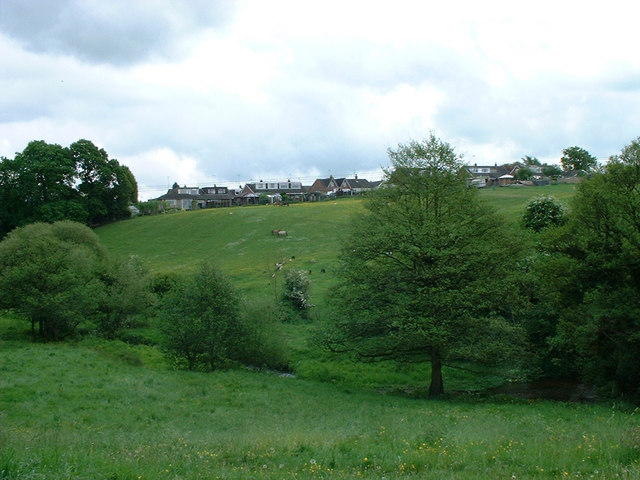
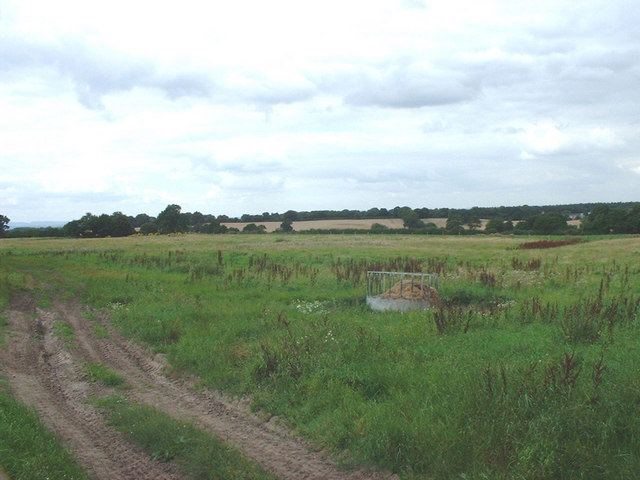
Bar Hill is a small village located in the county of Staffordshire, England. Situated approximately 7 miles northeast of Stafford, the village is nestled in a picturesque rural setting, surrounded by rolling hills and green fields. It is part of the civil parish of Bradley and is within the Staffordshire Moorlands district.
With a population of around 500 residents, Bar Hill has a close-knit community atmosphere. The village is characterized by a mix of traditional stone-built cottages and more modern housing. The area is predominantly residential, with a few small businesses and amenities serving the local population.
One of the notable features of Bar Hill is its proximity to the beautiful Cannock Chase, a designated Area of Outstanding Natural Beauty. This vast expanse of heathland and forest is a popular destination for outdoor enthusiasts, offering opportunities for walking, cycling, and wildlife spotting. The Chase also boasts historical sites, such as the remnants of an Iron Age hillfort.
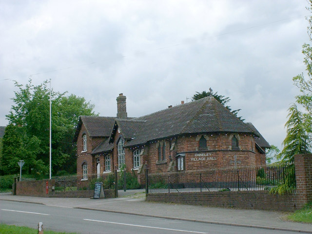
In terms of amenities, Bar Hill has a primary school, providing education for local children. The village also has a community hall, where various events and activities take place throughout the year, fostering a sense of community spirit.
Overall, Bar Hill is a charming village with a tranquil countryside setting, offering residents and visitors a peaceful retreat from the hustle and bustle of urban life.
If you have any feedback on the listing, please let us know in the comments section below.
Bar Hill Images
Images are sourced within 2km of 52.989996/-2.354523 or Grid Reference SJ7643. Thanks to Geograph Open Source API. All images are credited.

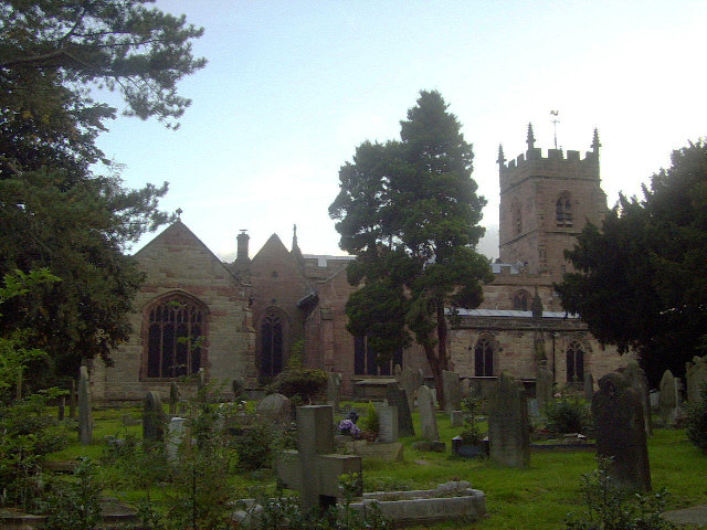
Bar Hill is located at Grid Ref: SJ7643 (Lat: 52.989996, Lng: -2.354523)
Administrative County: Staffordshire
District: Newcastle-under-Lyme
Police Authority: Staffordshire
What 3 Words
///pranced.jabs.condensed. Near Madeley, Staffordshire
Nearby Locations
Related Wikis
Madeley railway station (Staffordshire)
Madeley railway station is a disused railway station in Staffordshire, England. The station was opened by the Grand Junction Railway in 1837.: 43 It...
All Saints' Church, Madeley
All Saints' Church is an Anglican church in Madeley, Staffordshire, England, and in the Diocese of Lichfield. The building dates mostly from the 14th and...
Onneley
Onneley is a hamlet in the Borough of Newcastle-under-Lyme, Staffordshire.Situated within Onneley is the local Golf and Cricket club. Onneley Cricket club...
Madeley Old Hall
Madeley Old Hall is a black and white Elizabethan house, now a small hotel, in the village of Madeley in Staffordshire, England. It stands in 2 acres of...
Madeley, Staffordshire
Madeley is a village and ward in the Borough of Newcastle-under-Lyme, North Staffordshire, England. It is split into three parts: Madeley, Middle Madeley...
Madeley High School
Madeley High School, established 1957, is a coeducational secondary school with academy status, located in the village of Madeley, Staffordshire, England...
Madeley Road railway station
Madeley Road railway station is a disused railway station in Staffordshire, England. The Stoke to Market Drayton Line was opened by the North Staffordshire...
Heighley Castle
Heighley Castle (or Heleigh Castle) is a ruined medieval castle near Madeley, Staffordshire. The castle was completed by the Audley family in 1233 and...
Nearby Amenities
Located within 500m of 52.989996,-2.354523Have you been to Bar Hill?
Leave your review of Bar Hill below (or comments, questions and feedback).
