Upper Bitterns Wood
Wood, Forest in Staffordshire Newcastle-under-Lyme
England
Upper Bitterns Wood
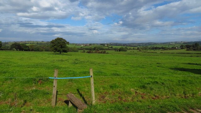
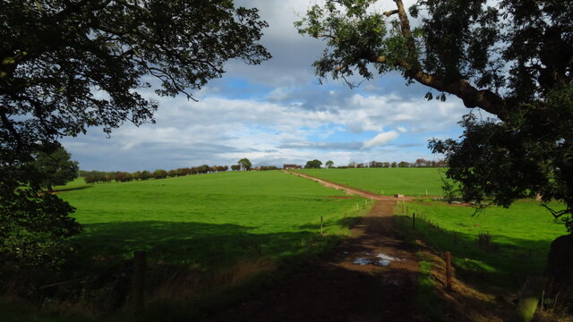
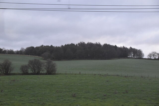
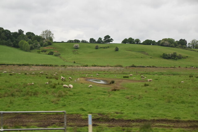
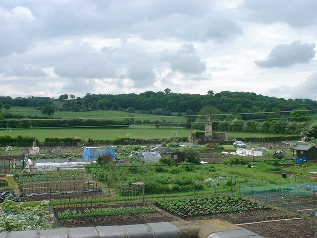
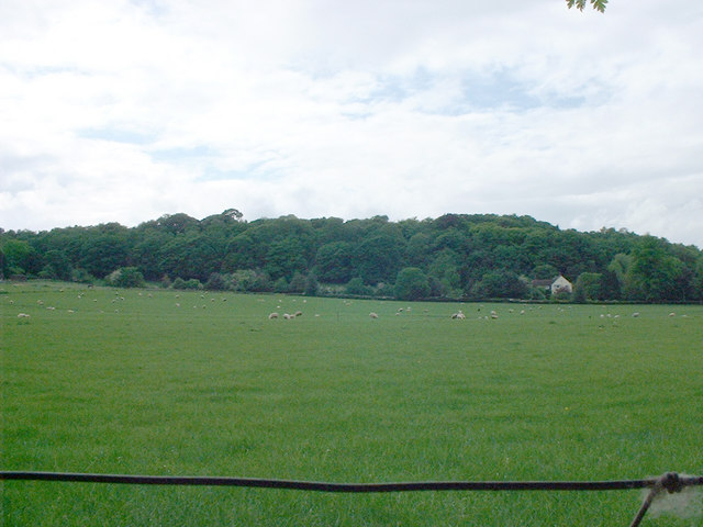
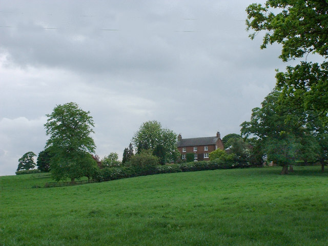
Upper Bitterns Wood is a picturesque and serene woodland located in Staffordshire, England. Covering an area of approximately 100 acres, this wood is an oasis of tranquility and natural beauty. It is situated near the village of Upper Bitterns, nestled within the rolling hills and valleys of the Staffordshire countryside.
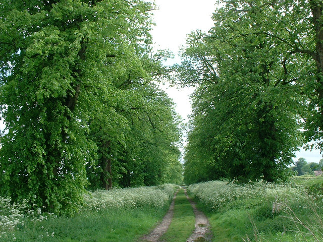
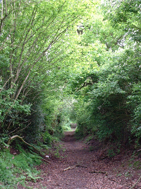
The wood is predominantly made up of native broadleaf trees, including oak, ash, and beech. These trees create a dense canopy, providing shelter and habitat for a diverse range of wildlife. Walking through the wood, visitors can witness the seasonal changes, from the vibrant green leaves of spring to the golden hues of autumn.
The woodland floor is carpeted with a rich tapestry of wildflowers, including bluebells, primroses, and wood anemones during the spring months. This creates a stunning display of colors and scents, attracting butterflies and other pollinators.
Upper Bitterns Wood is not only a haven for flora and fauna but also offers numerous recreational opportunities. There are well-maintained footpaths and trails that wind their way through the wood, allowing visitors to explore at their leisure. The wood is also home to a small picnic area, providing an ideal spot for families and nature enthusiasts to relax and enjoy the peaceful surroundings.
In addition to its natural beauty, Upper Bitterns Wood is also of historical importance. It is believed to have ancient origins and has been referenced in historical records dating back several centuries. The wood has retained its charm and character over the years, making it a cherished and protected natural resource in Staffordshire.
If you have any feedback on the listing, please let us know in the comments section below.
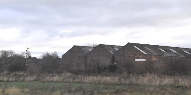
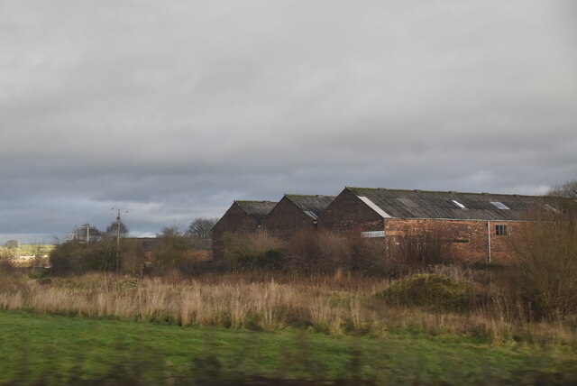
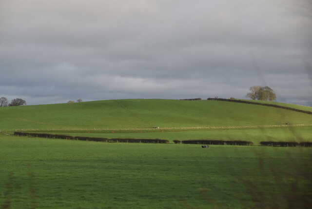
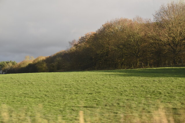
Upper Bitterns Wood Images
Images are sourced within 2km of 52.984212/-2.3494545 or Grid Reference SJ7643. Thanks to Geograph Open Source API. All images are credited.
Upper Bitterns Wood is located at Grid Ref: SJ7643 (Lat: 52.984212, Lng: -2.3494545)
Administrative County: Staffordshire
District: Newcastle-under-Lyme
Police Authority: Staffordshire
What 3 Words
///lots.darts.deluded. Near Madeley, Staffordshire
Nearby Locations
Related Wikis
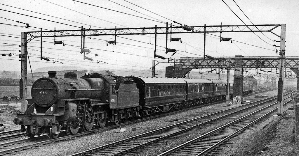
Madeley railway station (Staffordshire)
Madeley railway station is a disused railway station in Staffordshire, England. The station was opened by the Grand Junction Railway in 1837.: 43 It...

Madeley Road railway station
Madeley Road railway station is a disused railway station in Staffordshire, England. The Stoke to Market Drayton Line was opened by the North Staffordshire...

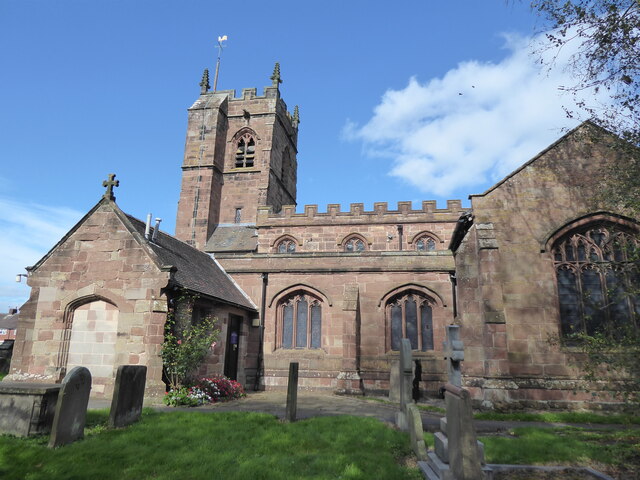
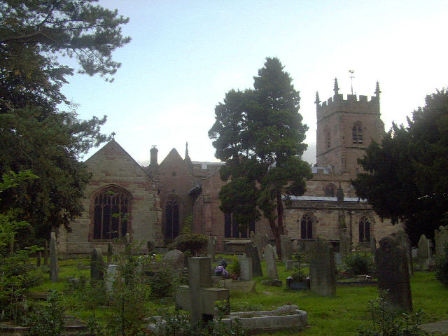
All Saints' Church, Madeley
All Saints' Church is an Anglican church in Madeley, Staffordshire, England, and in the Diocese of Lichfield. The building dates mostly from the 14th and...

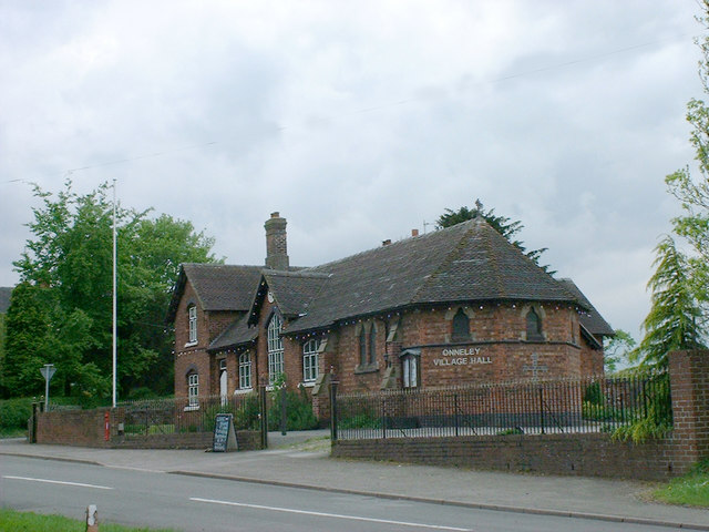
Onneley
Onneley is a hamlet in the Borough of Newcastle-under-Lyme, Staffordshire.Situated within Onneley is the local Golf and Cricket club. Onneley Cricket club...

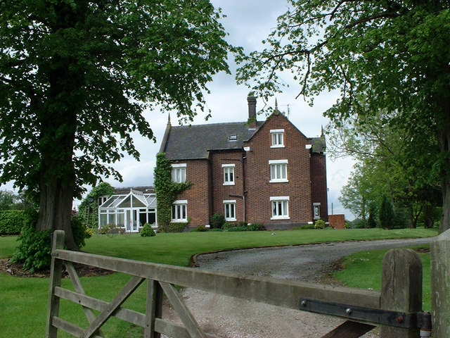
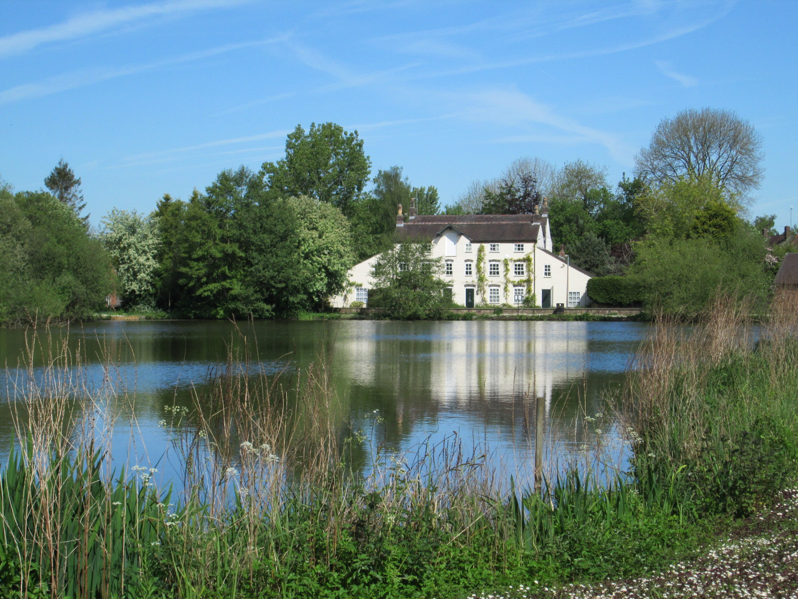
Madeley Old Hall
Madeley Old Hall is a black and white Elizabethan house, now a small hotel, in the village of Madeley in Staffordshire, England. It stands in 2 acres of...
Madeley, Staffordshire
Madeley is a village and ward in the Borough of Newcastle-under-Lyme, North Staffordshire, England. It is split into three parts: Madeley, Middle Madeley...
Madeley High School
Madeley High School, established 1957, is a coeducational secondary school with academy status, located in the village of Madeley, Staffordshire, England...
Newcastle-under-Lyme Rural District
Newcastle-under-Lyme Rural District was a rural district in the county of Staffordshire. It was formed in 1894 with the civil parishes of Ashley, Audley...
Nearby Amenities
Located within 500m of 52.984212,-2.3494545Have you been to Upper Bitterns Wood?
Leave your review of Upper Bitterns Wood below (or comments, questions and feedback).