Bar End

Settlement in Hampshire Winchester

England

Bar End

Path at  the back of Winchester railway station The path provides access to the car park and the bike store but doesn't lead anywhere else.
Path at the back of Winchester railway station Credit: Bill Boaden

Bar End is a small village located in the county of Hampshire, England. Situated just south of the city of Winchester, it is part of the Winchester District. The village is known for its peaceful and rural atmosphere, offering residents a tranquil escape from the bustling city life.

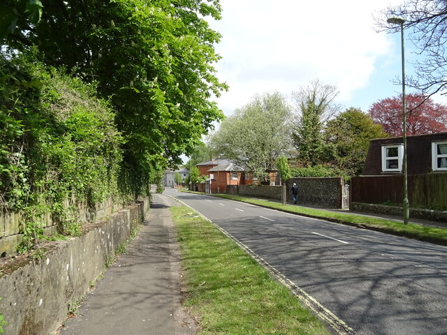
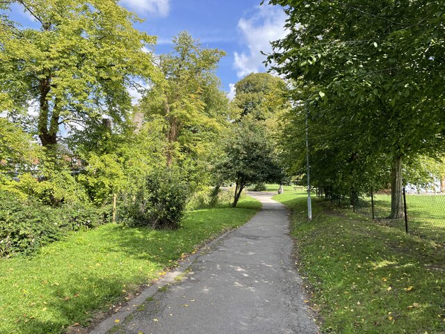
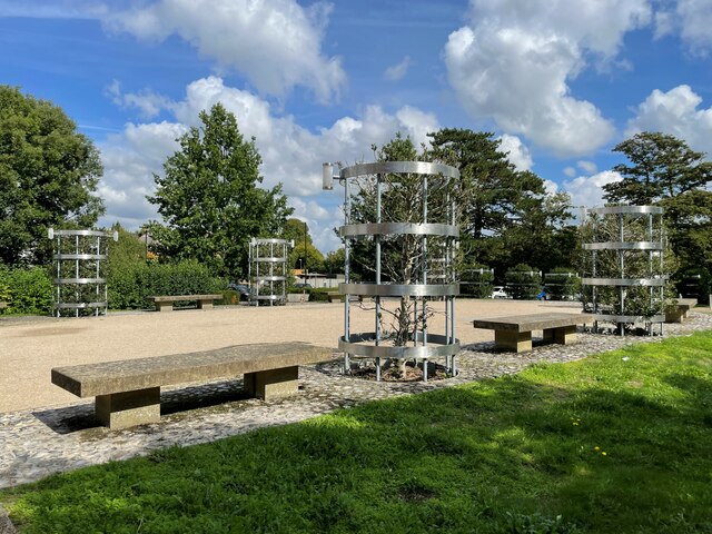
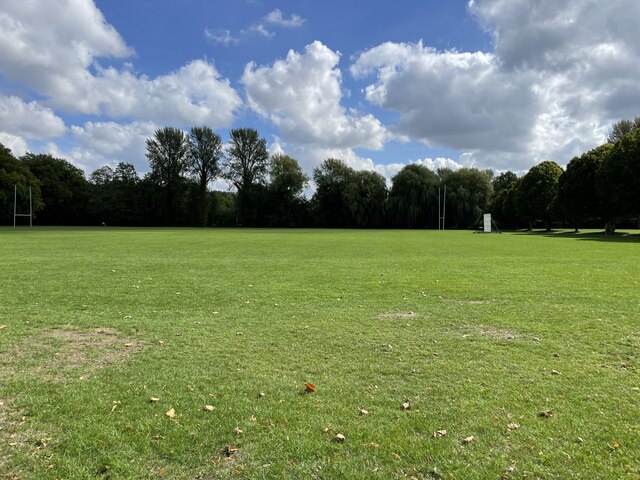
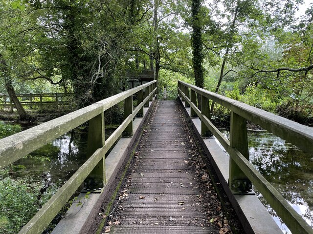
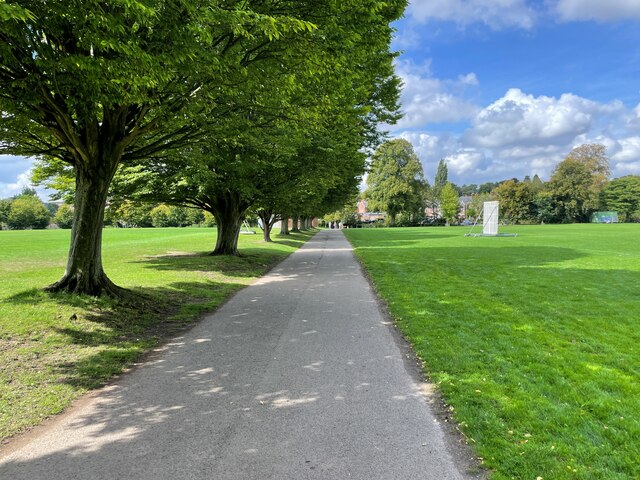
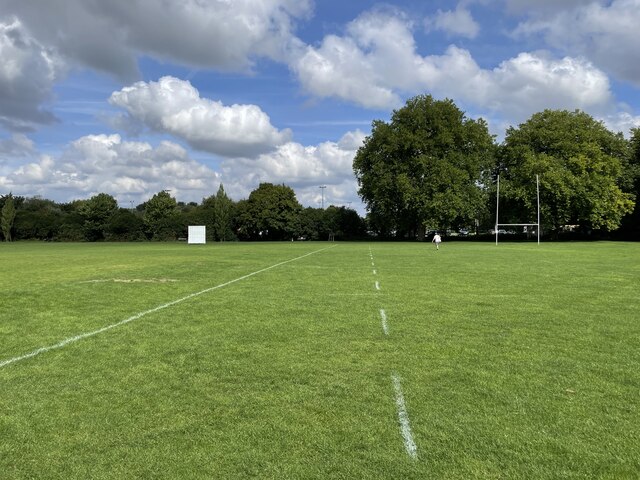
Bar End is surrounded by picturesque countryside and green fields, making it an ideal location for nature lovers and outdoor enthusiasts. The area is characterized by its scenic walking trails, charming country lanes, and stunning views of the surrounding landscape.

Despite its rural setting, Bar End benefits from its close proximity to Winchester. The city center is just a short drive away, offering residents easy access to a wide range of amenities, including shops, restaurants, schools, and healthcare facilities.

The village itself is relatively small, with a tight-knit community that takes pride in preserving its traditional character. The architecture in Bar End is predominantly made up of charming cottages and period houses, adding to the village's quaint charm.

Overall, Bar End offers a peaceful and idyllic setting for those seeking a quiet rural lifestyle, while still enjoying the convenience of nearby urban amenities. With its stunning natural surroundings and close proximity to Winchester, Bar End is a highly desirable place to live for those seeking a balance between tranquility and accessibility.

If you have any feedback on the listing, please let us know in the comments section below.
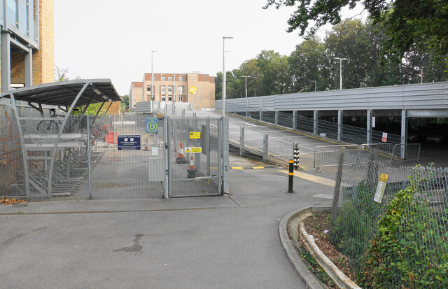
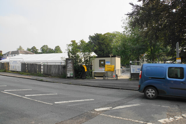
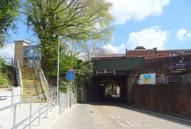
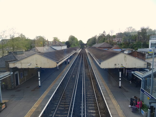
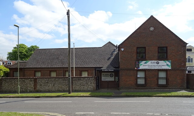
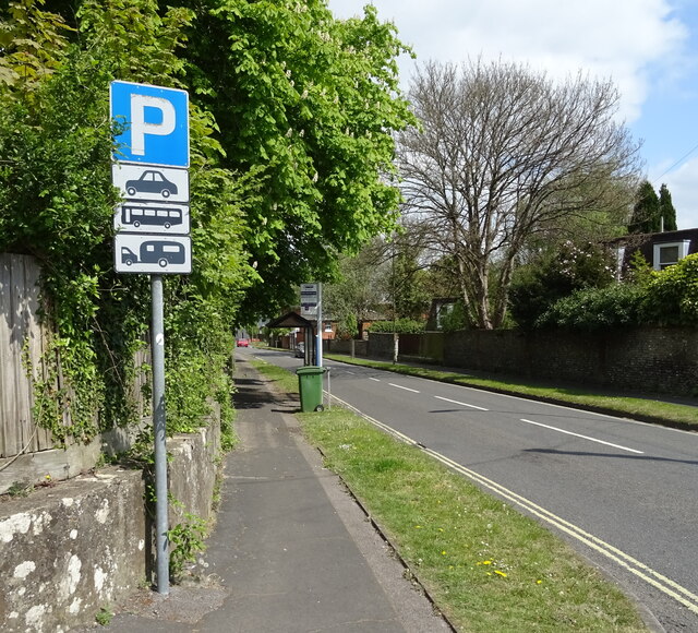
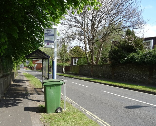
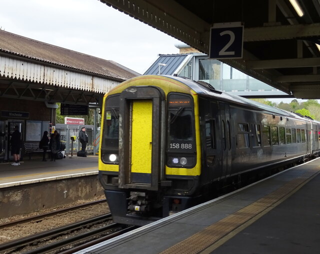
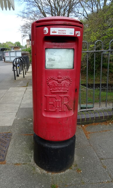
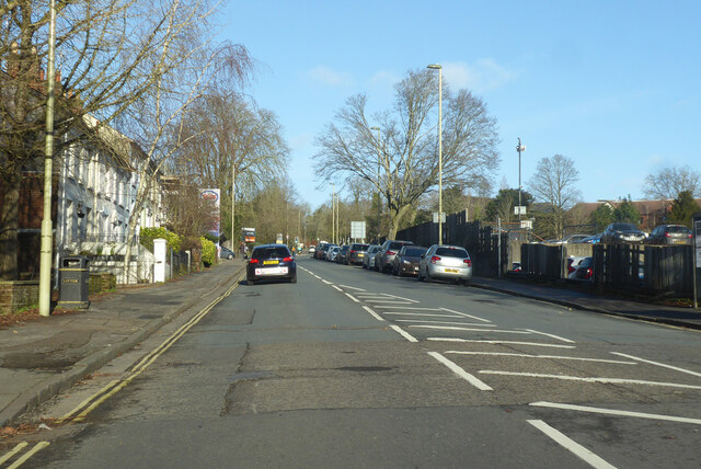
Bar End Images

Images are sourced within 2km of 51.054592/-1.300842 or Grid Reference SU4928. Thanks to Geograph Open Source API. All images are credited.

Path at  the back of Winchester railway station The path provides access to the car park and the bike store but doesn't lead anywhere else.
Path at the back of Winchester railway station
The path provides access to the car park and the bike store but doesn't lead anywhere else.
Covid-19 testing centre A temporary facility set up on part of Worthy Lane Car Park.
Covid-19 testing centre
A temporary facility set up on part of Worthy Lane Car Park.
Railway bridge over Stockbridge Road (B3044), Winchester
Winchester Railway Station From the footbridge.
Winchester Railway Station
From the footbridge.
St John House
St John House
Worthy Lane (B3045)
Worthy Lane (B3045)
Bus top and shelter on Worthy Lane (B3045)
Worthy Lane (B3045)
Worthy Lane (B3045)
Winchester Railway Station South Western Railway Class 158, No. 158888.
Winchester Railway Station
South Western Railway Class 158, No. 158888.
Elizabeth II postbox, Winchester Railway Station Postbox No. SO23 6.
Elizabeth II postbox, Winchester Railway Station
Postbox No. SO23 6.
B3420 Andover Road, Winchester Towards Andover.
B3420 Andover Road, Winchester
Towards Andover.
Path to North Walls Playing Fields
Hyde Abbey Gardens
Hyde Abbey Gardens
Sports field by Nuns Road
Winchester Rugby Football Club
Crossing the River Itchen Winnall Moors Nature Reserve.
Crossing the River Itchen
Winnall Moors Nature Reserve.
Centre path - North Walls Playing Fields
North Walls Playing Fields
Show me another place!

Bar End is located at Grid Ref: SU4928 (Lat: 51.054592, Lng: -1.300842)

Administrative County: Hampshire

District: Winchester

Police Authority: Hampshire

What 3 Words

///deriving.confined.berated. Near Winchester, Hampshire

Nearby Locations

Bar End

Related Wikis

Winchester Castle F.C.

Winchester Castle F.C. are an English football team based in Winchester. The club is affiliated to the Hampshire Football Association. == History == The...

Bar End

Bar End is an area of Winchester, Hampshire, England. It lies on the east bank of the River Itchen to the north of St. Catherine's Hill and is the location...

Black Rat (restaurant)

Black Rat is a restaurant located in Winchester, Hampshire, England. As of 2021, the restaurant lost its one star in the Michelin Guide that had been held...

Hampshire

Hampshire (, ; abbreviated to Hants.) is a ceremonial county in South East England. It is bordered by Berkshire to the north, Surrey and West Sussex to...

Itchen Navigation

The Itchen Navigation is a 10.4-mile (16.7 km) disused canal system in Hampshire, England, that provided an important trading route from Winchester to...

List of Sites of Special Scientific Interest in Hampshire

In England, Sites of Special Scientific Interest (SSSIs) are designated by Natural England, which is responsible for protecting England's natural environment...

List of local nature reserves in Hampshire

Local nature reserves (LNRs) in England are designated by local authorities under Section 21 of the National Parks and Access to the Countryside Act 1949...

Winchester (Chesil) railway station

Winchester (Chesil) railway station was, for the first six years after the opening of the line, the terminus of the Didcot, Newbury and Southampton Railway...

Nearby Amenities

Located within 500m of 51.054592,-1.300842
Traffic Signals
Traffic Signals: signal
Traffic Signals Direction: forward
Lat/Long: 51.0503233/-1.3025548
Post Box
Operator: Royal Mail
Operator Wikidata: Q638098
Post Box Type: pillar
Ref: SO23 108D
Royal Cypher: EIIR
Royal Cypher Wikidata: Q33102113
Lat/Long: 51.0577003/-1.299139
Heart In Hand
Disused: yes
Disused Amenity: pub
Wikidata: Q113506266
Lat/Long: 51.0557779/-1.3060296
Bus Stop
Barfield Car Park
Bus: yes
Naptan AtcoCode: 1900HA110070
Naptan Bearing: NE
Naptan CommonName: Barfield Car Park
Naptan NaptanCode: hamdjajg
Naptan PlusbusZoneRef: WNCHSTR
Naptan Street: Off Barfield Close
Naptan Verified: no
Public Transport: platform
Source: naptan_import
Lat/Long: 51.0537331/-1.3072045
Bus Stop
St Catherines Car Park (stop 4)
Addr City: Winchester
Addr Street: St Catherines Park & Ride
Bus: yes
Naptan AtcoCode: 1900HA110072
Naptan Bearing: NW
Naptan CommonName: St Catherines Car Park
Naptan NaptanCode: hamdjdjd
Naptan PlusbusZoneRef: WNCHSTR
Naptan ShortCommonName: Winchester Park & Ride
Naptan Street: Bar End Road
Naptan Verified: no
Public Transport: platform
Source: naptan_import
Wheelchair: no
Wheelchair Description: No dipped kerb for access to "platform".
Lat/Long: 51.0522949/-1.3043272
Bus Stop
Nelson Road
Bus: yes
Naptan AtcoCode: 1900HA110074
Naptan Bearing: E
Naptan CommonName: Nelson Road
Naptan Crossing: Fivefields Close
Naptan NaptanCode: hamdjgwj
Naptan PlusbusZoneRef: WNCHSTR
Naptan Street: Fivefields Road
Naptan Verified: no
Public Transport: platform
Source: naptan_import
Lat/Long: 51.0589276/-1.2991764
Bus Stop
Nelson Road
Bus: yes
Naptan AtcoCode: 1900HA110076
Naptan Bearing: W
Naptan CommonName: Nelson Road
Naptan Crossing: Nelson Road
Naptan NaptanCode: hamdjmaw
Naptan PlusbusZoneRef: WNCHSTR
Naptan Street: Gordon Avenue
Naptan Verified: no
Public Transport: platform
Source: naptan_import
Lat/Long: 51.0576093/-1.2982688
Bus Stop
Dell Road
Bus: yes
Naptan AtcoCode: 1900HA110077
Naptan Bearing: N
Naptan CommonName: Dell Road
Naptan Crossing: Dell Road
Naptan NaptanCode: hamdjgjt
Naptan PlusbusZoneRef: WNCHSTR
Naptan Street: St Leonard's Road
Naptan Verified: no
Public Transport: platform
Source: naptan_import
Lat/Long: 51.0579031/-1.3007757
Bus Stop
Vale Road
Bus: yes
Naptan AtcoCode: 1900HA110078
Naptan Bearing: S
Naptan CommonName: Vale Road
Naptan Crossing: Portal Road
Naptan NaptanCode: hamdjgad
Naptan PlusbusZoneRef: WNCHSTR
Naptan Street: Vale Road
Naptan Verified: no
Public Transport: platform
Source: naptan_import
Lat/Long: 51.0570373/-1.3018732
Bus Stop
Milland Road
Bus: yes
Naptan AtcoCode: 1900HA110079
Naptan Bearing: W
Naptan CommonName: Milland Road
Naptan Crossing: Vale Road
Naptan NaptanCode: hamdjdpj
Naptan PlusbusZoneRef: WNCHSTR
Naptan Street: Milland Road
Naptan Verified: no
Public Transport: platform
Source: naptan_import
Lat/Long: 51.0561005/-1.3031001
Bus Stop
Milland Road
Bench: yes
Bin: no
Bus: yes
Lit: yes
Naptan AtcoCode: 1900HA110080
Naptan Bearing: W
Naptan CommonName: Milland Road
Naptan Crossing: Bar End Road
Naptan NaptanCode: hamdjawd
Naptan PlusbusZoneRef: WNCHSTR
Naptan ShortCommonName: Heart in Hand
Naptan Street: Milland Road
Naptan Verified: no
Public Transport: platform
Shelter: yes
Source: naptan_import
Tactile Paving: no
Lat/Long: 51.0558465/-1.3057579
Bus Stop
St Catherines Park & Ride
Bench: yes
Bin: yes
Bus: yes
Naptan AtcoCode: 1900HAA19763
Naptan Bearing: NE
Naptan CommonName: St Catherines Park & Ride
Naptan Landmark: O/s Toilet Block
Naptan NaptanCode: hamjgpjp
Naptan PlusbusZoneRef: WNCHSTR
Naptan Street: Off Bar End Road
Naptan Verified: no
Public Transport: platform
Shelter: yes
Source: naptan_import
Tactile Paving: yes
Wheelchair: yes
Lat/Long: 51.0513322/-1.3052855
Bus Stop
St Catherines Car Park
Bus: yes
Naptan AtcoCode: 1900HAA19764
Naptan Bearing: E
Naptan CommonName: St Catherines Car Park
Naptan Landmark: In Sight of the Flyover
Naptan NaptanCode: hamjgpjt
Naptan PlusbusZoneRef: WNCHSTR
Naptan Street: Off Bar End Road
Naptan Verified: no
Public Transport: platform
Source: naptan_import
Lat/Long: 51.0514148/-1.3036696
Traffic Signals
Traffic Signals: signal
Traffic Signals Direction: forward
Lat/Long: 51.0505458/-1.3022966
Barrier: kissing_gate
Bicycle: dismount
Lat/Long: 51.0516223/-1.3049537
Bus Stop
Bus: yes
Public Transport: platform
Source: Bing
Lat/Long: 51.0512426/-1.3042778
Crossing
Crossing: unmarked
Crossing Island: yes
Crossing Markings: no
Kerb: lowered
Tactile Paving: no
Lat/Long: 51.0513748/-1.3045592
Turning Circle
Lat/Long: 51.0516736/-1.304995
Barrier: bollard
Bicycle: yes
Foot: yes
Lat/Long: 51.0516632/-1.3051262
Traffic Signals
Traffic Signals: signal
Traffic Signals Direction: forward
Lat/Long: 51.0504822/-1.3021825
Give Way
Direction: forward
Lat/Long: 51.0503852/-1.3004049
Crossing
Button Operated: yes
Crossing: traffic_signals
Crossing Island: no
Crossing Ref: pelican
Kerb: lowered
Tactile Paving: yes
Traffic Signals Sound: yes
Traffic Signals Vibration: yes
Lat/Long: 51.0560675/-1.3061974
Post Box
Collection Times: Mo-Fr 09:00; Sa 07:00
Post Box Type: wall
Ref: SO23 106
Royal Cypher: GR
Royal Cypher Wikidata: Q33102273
Lat/Long: 51.0551346/-1.3059931
Post Box
Ref: SO23 1
Lat/Long: 51.0573289/-1.3042162
Post Box
Ref: SO23 318
Lat/Long: 51.0560199/-1.3047816
Traffic Signals
Direction: backward
Traffic Signals: junction
Lat/Long: 51.0532178/-1.3051661
Grit Bin
Operator: Hampshire County Council
Lat/Long: 51.0586261/-1.3016829
Crossing
Crossing: unmarked
Crossing Island: yes
Crossing Markings: no
Kerb: lowered
Lat/Long: 51.051249/-1.3045381
Crossing
Crossing Island: yes
Kerb: lowered
Lat/Long: 51.0512241/-1.3044182
Crossing
Crossing: unmarked
Crossing Island: yes
Crossing Markings: no
Kerb: lowered
Tactile Paving: no
Lat/Long: 51.0509607/-1.3046534
Crossing
Crossing: unmarked
Crossing Island: yes
Crossing Markings: no
Kerb: lowered
Tactile Paving: no
Lat/Long: 51.0512567/-1.3051301
Crossing
Bicycle: yes
Crossing: uncontrolled
Crossing Ref: parallel
Kerb: lowered
Tactile Paving: yes
Lat/Long: 51.0546354/-1.3061553
Traffic Signals
Source: Bing
Traffic Signals Direction: forward
Lat/Long: 51.0560408/-1.3061922
Give Way
Direction: forward
Lat/Long: 51.053294/-1.3050754
Traffic Signals
Source: Bing
Traffic Signals Direction: backward
Lat/Long: 51.0560865/-1.3062024
Give Way
Direction: backward
Source: Bing
Lat/Long: 51.0523525/-1.3050945
Bar End
Place: suburb
Wikidata: Q4857926
Lat/Long: 51.054667/-1.305846
White & Company
Address: International House, Unit G, Bar End Road, Winchester, Hampshire, SO23 9NP, UK
Office: moving_company
Phone: +44 1962 658096
Website: https://www.whiteandcompany.co.uk/removals-winchester/
Lat/Long: 51.0544595/-1.3059905
Highcliffe
Place: suburb
Wikidata: Q113703322
Lat/Long: 51.0576149/-1.3012455
Traffic Signals
Direction: backward
Traffic Signals: junction
Lat/Long: 51.0527298/-1.3052341
Direction: 170
Generator Method: photovoltaic
Generator Output Electricity: yes
Generator Solar Modules: 6
Generator Source: solar
Generator Type: solar_photovoltaic_panel
Location: roof
Power: generator
Lat/Long: 51.057394/-1.3048228
Direction: 170
Generator Method: photovoltaic
Generator Output Electricity: yes
Generator Solar Modules: 16
Generator Source: solar
Generator Type: solar_photovoltaic_panel
Location: roof
Power: generator
Lat/Long: 51.0584893/-1.3021828
Direction: 85
Generator Method: photovoltaic
Generator Output Electricity: yes
Generator Solar Modules: 10
Generator Source: solar
Generator Type: solar_photovoltaic_panel
Location: roof
Power: generator
Lat/Long: 51.058307/-1.3009564
Direction: 170
Generator Method: photovoltaic
Generator Output Electricity: yes
Generator Solar Modules: 11
Generator Source: solar
Generator Type: solar_photovoltaic_panel
Location: roof
Power: generator
Lat/Long: 51.0582018/-1.2990775
Direction: 175
Generator Method: photovoltaic
Generator Output Electricity: yes
Generator Solar Modules: 10
Generator Source: solar
Generator Type: solar_photovoltaic_panel
Location: roof
Power: generator
Lat/Long: 51.0577414/-1.2985324
Direction: 195
Generator Method: photovoltaic
Generator Output Electricity: yes
Generator Solar Modules: 8
Generator Source: solar
Generator Type: solar_photovoltaic_panel
Location: roof
Power: generator
Lat/Long: 51.0587063/-1.2986008
Direction: 285
Generator Method: photovoltaic
Generator Output Electricity: yes
Generator Solar Modules: 6
Generator Source: solar
Generator Type: solar_photovoltaic_panel
Location: roof
Power: generator
Lat/Long: 51.0587383/-1.2986397
Direction: 260
Generator Method: photovoltaic
Generator Output Electricity: yes
Generator Solar Modules: 16
Generator Source: solar
Generator Type: solar_photovoltaic_panel
Location: roof
Power: generator
Tilted: no
Lat/Long: 51.0572323/-1.3010077
Direction: 170
Generator Method: photovoltaic
Generator Output Electricity: yes
Generator Solar Modules: 10
Generator Source: solar
Generator Type: solar_photovoltaic_panel
Location: roof
Power: generator
Tilted: no
Lat/Long: 51.0558961/-1.3039642
Direction: 170
Generator Method: photovoltaic
Generator Output Electricity: yes
Generator Solar Modules: 10
Generator Source: solar
Generator Type: solar_photovoltaic_panel
Location: roof
Power: generator
Tilted: no
Lat/Long: 51.0559378/-1.3035585
Cafe
Crussh
Lat/Long: 51.0542475/-1.3039551
Crossing
Crossing: uncontrolled
Crossing Island: yes
Kerb: lowered
Tactile Paving: yes
Lat/Long: 51.0548371/-1.3057784
Crossing
Crossing: uncontrolled
Crossing Island: yes
Kerb: lowered
Tactile Paving: yes
Lat/Long: 51.0547996/-1.3058733
Crossing
Crossing: uncontrolled
Crossing Island: yes
Kerb: lowered
Tactile Paving: yes
Lat/Long: 51.0547495/-1.3054797
Crossing
Bicycle: yes
Crossing: uncontrolled
Crossing Island: yes
Crossing Ref: parallel
Kerb: lowered
Tactile Paving: yes
Lat/Long: 51.054441/-1.3057221
Crossing
Bicycle: yes
Crossing: uncontrolled
Crossing Island: yes
Crossing Ref: parallel
Kerb: lowered
Tactile Paving: yes
Lat/Long: 51.0544412/-1.3056154
Crossing
Crossing: uncontrolled
Crossing Island: yes
Kerb: lowered
Tactile Paving: yes
Lat/Long: 51.054704/-1.3054603
Car Wash
Automated: no
Self Service: yes
Lat/Long: 51.053854/-1.3059327
Parcel Locker
Amazon Locker: Blimber
Brand: Amazon Locker
Brand Wikidata: Q16974764
Brand Wikipedia: en:Amazon Locker
Operator: Amazon
Parcel Mail In: yes
Parcel Pickup: yes
Lat/Long: 51.0539046/-1.3057249
Charging Station
Fixme: Need more details about this charging point
Lat/Long: 51.0538532/-1.3057074
Bicycle Parking
Access: yes
Bicycle Parking: stands
Capacity: 36
Covered: yes
Fee: no
Lit: no
Operator: Everyone Active
Lat/Long: 51.0548876/-1.3044162
Charging Station
Mer Charging Station
Access: yes
Brand: Mer
Brand Wikidata: Q100821564
Capacity: 4
Operator: Mer
Lat/Long: 51.055077/-1.3041044
Bus Stop
Barfield Park and Ride
Bus: yes
Naptan AtcoCode: 1900HAA92079
Naptan NaptanCode: hampadpj
Public Transport: platform
Lat/Long: 51.0548761/-1.306488
Bus Stop
Barfield Park and Ride
Bus: yes
Public Transport: platform
Lat/Long: 51.0548846/-1.3063642
Charging Station
Mer
Access: yes
Brand: Mer
Brand Wikidata: Q100821564
Capacity: 8
Operator: Mer
Lat/Long: 51.0545429/-1.3072253
Crossing
Crossing: zebra
Lat/Long: 51.0540641/-1.3047772
Door: revolving
Entrance: yes
Wheelchair: no
Lat/Long: 51.0544981/-1.3042257
Door: revolving
Entrance: yes
Wheelchair: no
Lat/Long: 51.0544248/-1.304205
Door: automatic
Entrance: yes
Wheelchair: yes
Lat/Long: 51.0543678/-1.3041888
Crossing
Lat/Long: 51.055074/-1.3032484
Entrance: exit
Lat/Long: 51.0542464/-1.304036
Crossing
Crossing: zebra
Lat/Long: 51.0547774/-1.304807
Crossing
Crossing: marked
Crossing Island: no
Crossing Markings: zebra
Crossing Ref: zebra
Lat/Long: 51.0547124/-1.3050735
Crossing
Crossing: zebra
Lat/Long: 51.0544382/-1.3046203
Crossing
Crossing: zebra
Lat/Long: 51.0543756/-1.3048883
Crossing
Crossing: zebra
Lat/Long: 51.0543092/-1.3051678
Crossing
Crossing: zebra
Lat/Long: 51.0541185/-1.304499
Crossing
Crossing: zebra
Lat/Long: 51.054004/-1.305054
Crossing
Crossing: zebra
Lat/Long: 51.0538409/-1.3043937
Crossing
Crossing: zebra
Lat/Long: 51.0537929/-1.3046738
Crossing
Crossing: zebra
Lat/Long: 51.0537443/-1.3049337
Crossing
Crossing: zebra
Lat/Long: 51.054906/-1.3047524
Crossing
Crossing: zebra
Lat/Long: 51.0550148/-1.3033179
Traffic Signals
Direction: backward
Traffic Signals: junction
Lat/Long: 51.053324/-1.3054201
Give Way
Direction: backward
Source: Bing
Lat/Long: 51.0523159/-1.3050604
Barrier: kerb
Kerb: lowered
Tactile Paving: yes
Lat/Long: 51.054846/-1.305763
Barrier: kerb
Kerb: lowered
Tactile Paving: yes
Lat/Long: 51.0546785/-1.3054494
Barrier: kerb
Kerb: lowered
Tactile Paving: yes
Lat/Long: 51.0547732/-1.3054898
Barrier: kerb
Kerb: lowered
Tactile Paving: yes
Lat/Long: 51.0547165/-1.3054656
Barrier: kerb
Kerb: lowered
Tactile Paving: yes
Lat/Long: 51.0547363/-1.3054741
Barrier: kerb
Kerb: lowered
Tactile Paving: yes
Lat/Long: 51.054807/-1.3058509
Barrier: kerb
Kerb: lowered
Tactile Paving: yes
Lat/Long: 51.0548224/-1.3058036
Barrier: kerb
Kerb: lowered
Tactile Paving: yes
Lat/Long: 51.054441/-1.3057465
Barrier: kerb
Kerb: lowered
Tactile Paving: yes
Lat/Long: 51.0544411/-1.305695
Barrier: kerb
Kerb: lowered
Tactile Paving: yes
Lat/Long: 51.0544411/-1.3056496
Barrier: kerb
Kerb: lowered
Tactile Paving: yes
Lat/Long: 51.0544412/-1.3055844
Barrier: kerb
Kerb: lowered
Tactile Paving: yes
Lat/Long: 51.0546126/-1.3061501
The data included in this document is from www.openstreetmap.org. The data is made available under ODbL.

Have you been to Bar End?

Leave your review of Bar End below (or comments, questions and feedback).