Craigfoodie Hill
Hill, Mountain in Fife
Scotland
Craigfoodie Hill
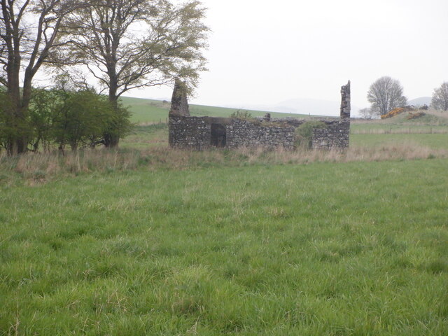
Craigfoodie Hill is a prominent hill located in the region of Fife, Scotland. Situated near the village of Auchtermuchty, it is a notable landmark in the area. The hill stands at an elevation of approximately 253 meters (830 feet) above sea level, offering panoramic views of the surrounding countryside.
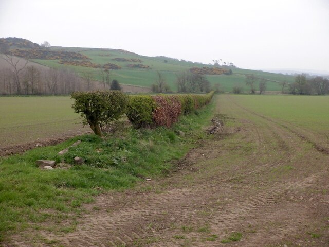
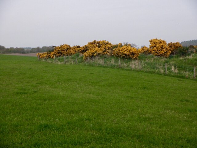
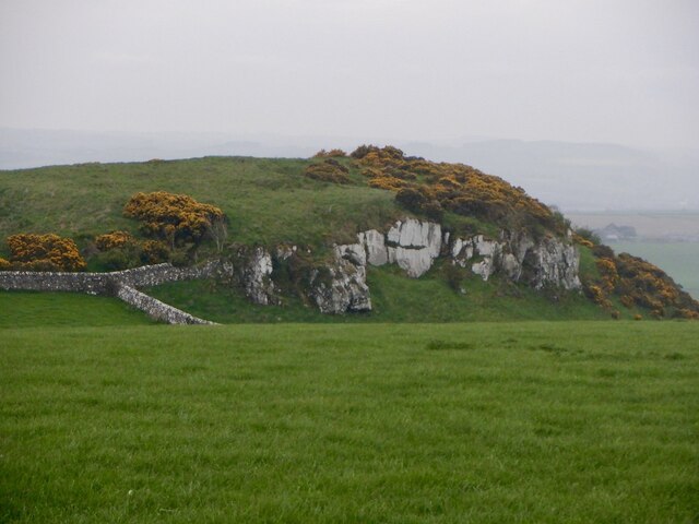
Craigfoodie Hill is part of the Lomond Hills range, which stretches across Fife and is renowned for its stunning natural beauty. It is composed mainly of limestone and provides a diverse habitat for a variety of plant and animal species. The hill is covered in lush vegetation, including grasslands, heather, and pockets of woodland.
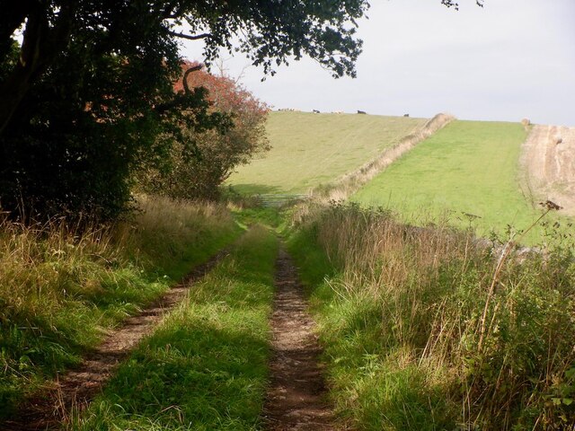
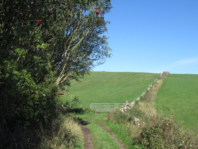
For outdoor enthusiasts, Craigfoodie Hill offers excellent opportunities for hiking and walking. There are several well-marked trails that lead to the summit, providing a moderate challenge for visitors. As they ascend, hikers can enjoy the ever-changing scenery, including picturesque farmland, rolling hills, and distant views of the Firth of Tay.
At the top of Craigfoodie Hill, there is a trig point that serves as a landmark and offers a focal point for photography enthusiasts. On clear days, the panoramic vista from the summit extends as far as the Ochil Hills and the Trossachs National Park.
Overall, Craigfoodie Hill is a popular destination for nature lovers, hikers, and those seeking breathtaking views of the Fife countryside. Its accessibility, diverse flora and fauna, and stunning vistas make it a must-visit location for both locals and tourists alike.
If you have any feedback on the listing, please let us know in the comments section below.
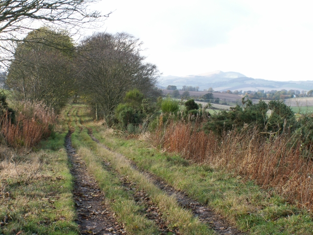
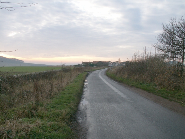
Craigfoodie Hill Images
Images are sourced within 2km of 56.35535/-2.9647799 or Grid Reference NO4018. Thanks to Geograph Open Source API. All images are credited.


Craigfoodie Hill is located at Grid Ref: NO4018 (Lat: 56.35535, Lng: -2.9647799)
Unitary Authority: Fife
Police Authority: Fife
What 3 Words
///blurts.frames.companies. Near Balmullo, Fife
Nearby Locations
Related Wikis

Dairsie Hoard
The Dairsie Hoard is a hoard of late 3rd century Roman hacksilver that was found near Dairsie, Fife, Scotland in 2014 by a teenage boy, David Hall, at...

Dairsie
Dairsie, or Osnaburgh, is a village and parish in north-east Fife, Scotland. It is 3 miles (4.8 km) south-southwest of Leuchars Junction, and 3 miles...
Logie, Fife
Logie (Scottish Gaelic: An Lagan) is a parish and village in east Fife, Scotland, 5 miles north-east of Cupar.The parish is bounded on the east by the...
Dairsie railway station
Dairsie railway station served the village of Dairsie, Fife, Scotland from 1848 to 1954 on the Edinburgh and Northern Railway. == History == The station...
Nearby Amenities
Located within 500m of 56.35535,-2.9647799Have you been to Craigfoodie Hill?
Leave your review of Craigfoodie Hill below (or comments, questions and feedback).