Craiglug
Hill, Mountain in Fife
Scotland
Craiglug
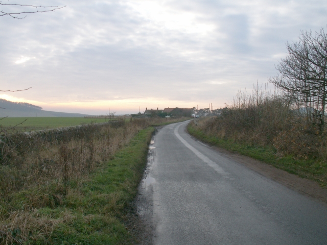
Craiglug is a prominent hill located in the historic county of Fife, Scotland. Standing at an elevation of approximately 430 meters (1,410 feet), it is part of the Lomond Hills range, which runs east to west across the southern part of the county. The hill is situated near the village of Falkland, approximately 25 miles north of Edinburgh.
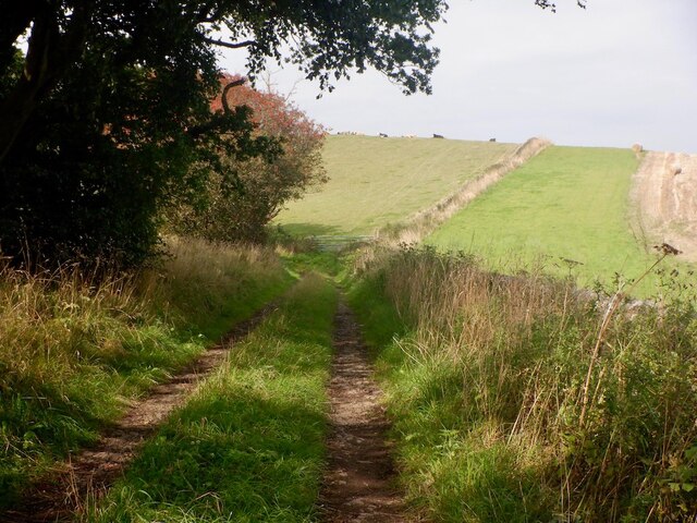
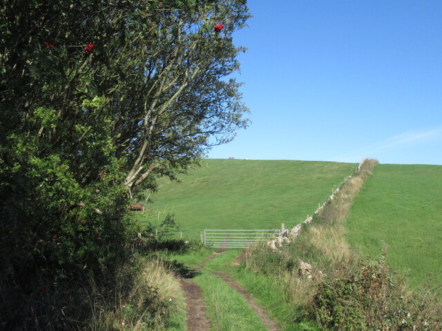
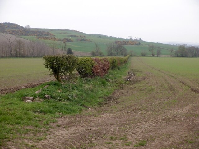
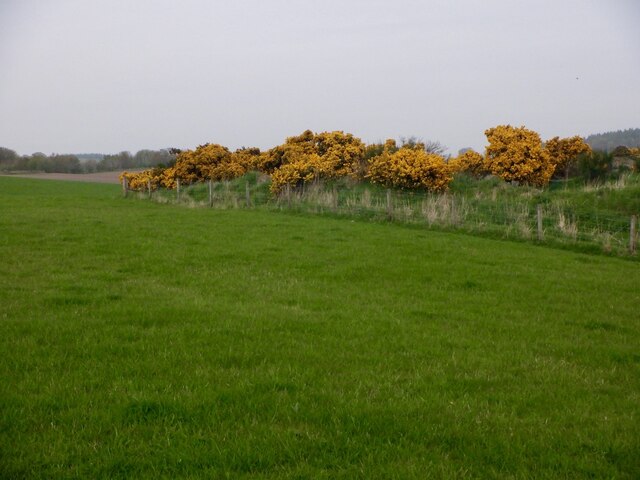
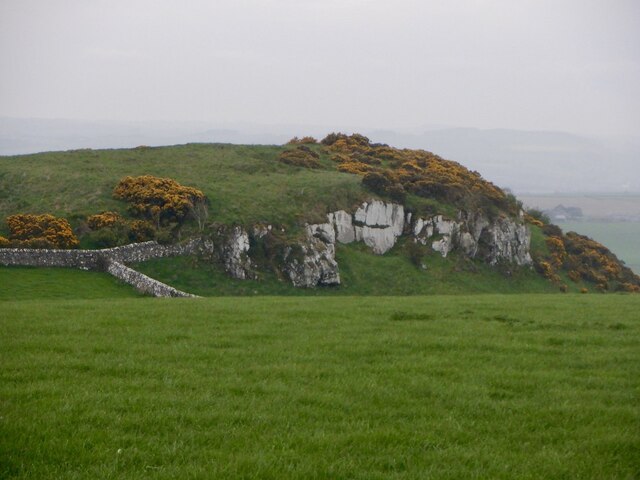
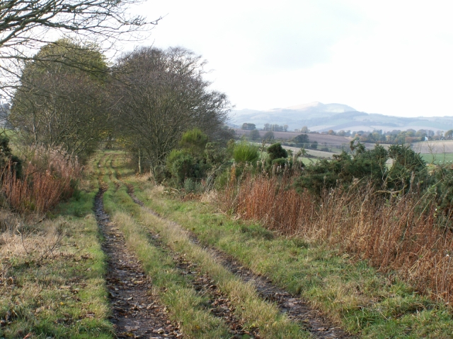
Covered in heather moorland and offering breathtaking panoramic views, Craiglug is a popular destination for outdoor enthusiasts, hikers, and nature lovers. Its relatively easy ascent makes it accessible to people of various fitness levels. The hill features a well-maintained path that leads to its summit, providing a rewarding experience for those who undertake the climb. On clear days, visitors are treated to stunning vistas of the surrounding countryside, including the Firth of Forth and the Ochil Hills to the north.
Craiglug is also known for its rich wildlife and diverse flora. It is home to several bird species, including peregrine falcons and red grouse, making it a haven for birdwatchers. The hill's slopes are adorned with purple heather during the summer months, creating a picturesque landscape that attracts photographers and nature enthusiasts alike.
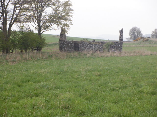
Furthermore, Craiglug has historical significance, as it is believed to have been used as a hill fort during ancient times. Archaeological remains, including circular enclosures and ditches, have been discovered on its slopes, providing insight into the area's past.
Overall, Craiglug offers a captivating blend of natural beauty, recreational opportunities, and historical significance, making it a must-visit destination for anyone exploring the scenic landscapes of Fife.
If you have any feedback on the listing, please let us know in the comments section below.
Craiglug Images
Images are sourced within 2km of 56.353436/-2.9659776 or Grid Reference NO4018. Thanks to Geograph Open Source API. All images are credited.


Craiglug is located at Grid Ref: NO4018 (Lat: 56.353436, Lng: -2.9659776)
Unitary Authority: Fife
Police Authority: Fife
What 3 Words
///soonest.lizard.frozen. Near Balmullo, Fife
Nearby Locations
Related Wikis

Dairsie
Dairsie, or Osnaburgh, is a village and parish in north-east Fife, Scotland. It is 3 miles (4.8 km) south-southwest of Leuchars Junction, and 3 miles...

Dairsie Hoard
The Dairsie Hoard is a hoard of late 3rd century Roman hacksilver that was found near Dairsie, Fife, Scotland in 2014 by a teenage boy, David Hall, at...
Dairsie railway station
Dairsie railway station served the village of Dairsie, Fife, Scotland from 1848 to 1954 on the Edinburgh and Northern Railway. == History == The station...
Logie, Fife
Logie (Scottish Gaelic: An Lagan) is a parish and village in east Fife, Scotland, 5 miles north-east of Cupar.The parish is bounded on the east by the...
Nearby Amenities
Located within 500m of 56.353436,-2.9659776Have you been to Craiglug?
Leave your review of Craiglug below (or comments, questions and feedback).