Craig Dorney
Hill, Mountain in Banffshire
Scotland
Craig Dorney
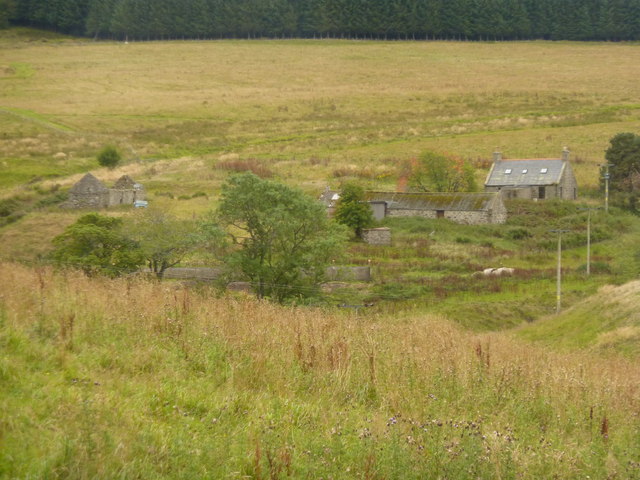
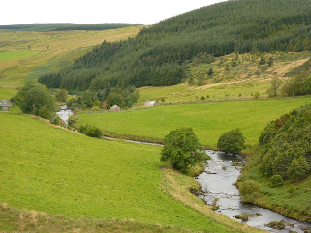
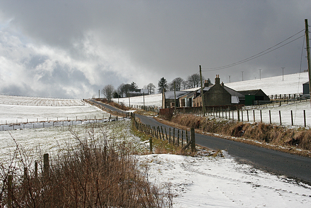
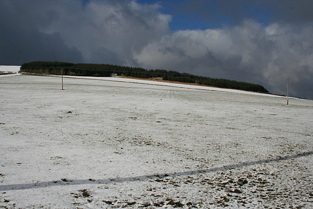
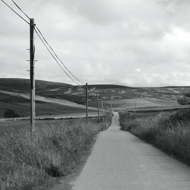
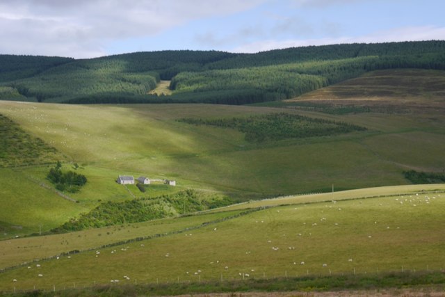
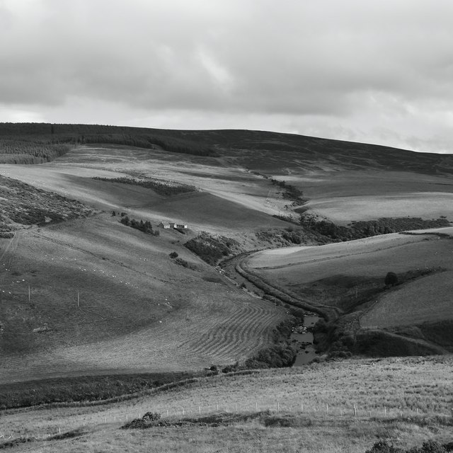
Craig Dorney is a prominent hill located in the historic county of Banffshire, situated in the northeastern part of Scotland. This distinct mountain rises to an impressive height of approximately 1,090 feet (332 meters) above sea level. It is part of the picturesque landscape of the region, offering breathtaking views of the surrounding countryside.
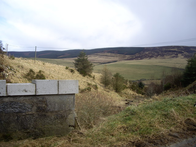
The hill is characterized by its rugged terrain and rocky slopes, which make it a popular destination for outdoor enthusiasts, hikers, and mountaineers. Its location near the coast provides a unique contrast between the rolling hills and the nearby North Sea, creating a stunning backdrop for those who venture to its summit.
As one embarks on the ascent of Craig Dorney, they are treated to a variety of natural features and habitats. The hill is covered in heather and grasses, with scattered patches of woodland adding to its charm. The diverse flora and fauna that inhabit the area make it an attractive spot for nature lovers and birdwatchers.
The views from the top of Craig Dorney are truly awe-inspiring, providing a panoramic vista of the Banffshire countryside, including the nearby towns and villages. On a clear day, one can even catch a glimpse of the distant Cairngorms National Park, with its majestic peaks towering on the horizon.
Overall, Craig Dorney is a remarkable hill that offers an unforgettable experience for those who appreciate Scotland's natural beauty. Its accessibility, diverse landscape, and stunning views make it a must-visit destination for anyone exploring the Banffshire region.
If you have any feedback on the listing, please let us know in the comments section below.
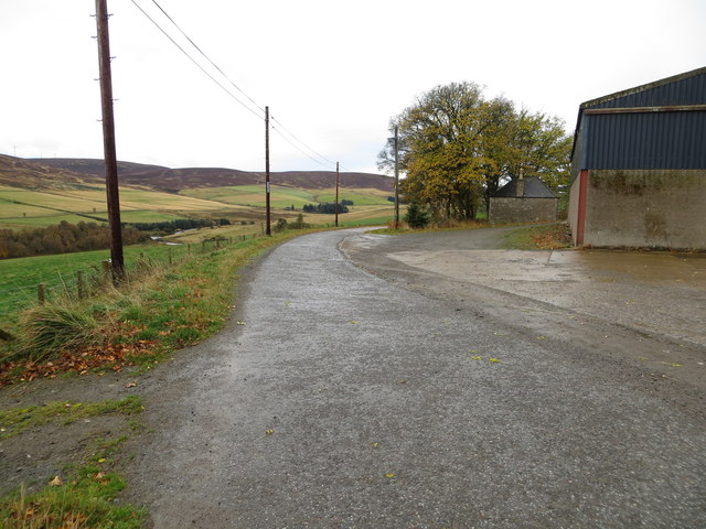
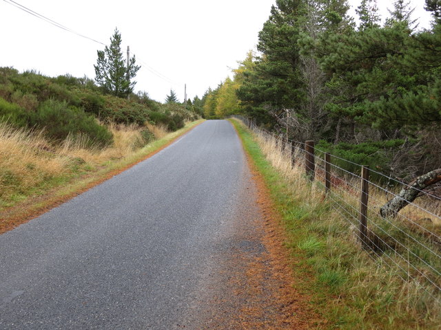
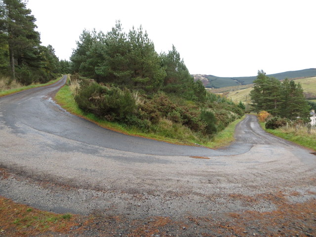
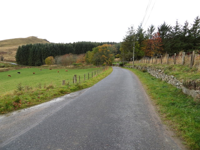
Craig Dorney Images
Images are sourced within 2km of 57.404495/-2.9932312 or Grid Reference NJ4035. Thanks to Geograph Open Source API. All images are credited.


Craig Dorney is located at Grid Ref: NJ4035 (Lat: 57.404495, Lng: -2.9932312)
Unitary Authority: Aberdeenshire
Police Authority: North East
What 3 Words
///custodial.pepper.essays. Near Dufftown, Moray
Nearby Locations
Related Wikis

Beldorney Castle
Beldorney Castle is a Z-plan castle dating from the mid-16th century, about two miles south of Glass, in hilly country in the valley of the Deveron, in...

Glass, Aberdeenshire
Glass is a parish about 8 miles west of Huntly, Aberdeenshire, Scotland. It is now wholly located in Aberdeenshire but before the reorganisation of Scottish...
Blairmore School
Blairmore School was an independent boarding preparatory school in Glass near Huntly, Aberdeenshire until its closure in 1993. The site is now owned and...
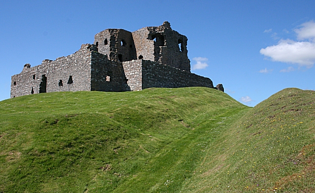
Auchindoun Castle
Auchindoun Castle is a 15th-century L-Plan tower castle located in Auchindoun near Dufftown in Moray, Scotland. == History == While there is evidence of...
Nearby Amenities
Located within 500m of 57.404495,-2.9932312Have you been to Craig Dorney?
Leave your review of Craig Dorney below (or comments, questions and feedback).