Craigdorney Wood
Wood, Forest in Banffshire
Scotland
Craigdorney Wood
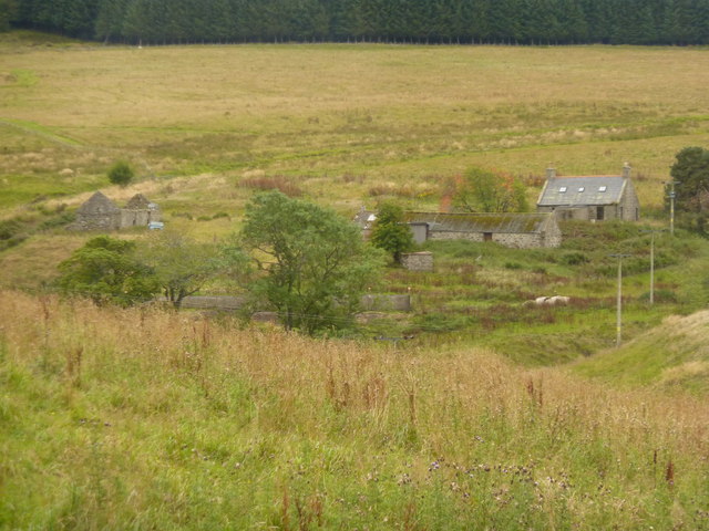
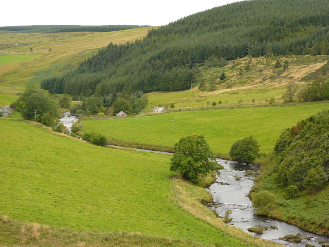
Craigdorney Wood is a picturesque woodland located in Banffshire, Scotland. Covering an area of approximately 200 acres, it is renowned for its natural beauty and diverse range of flora and fauna. The wood is situated in the heart of the Scottish Highlands, offering visitors a tranquil and peaceful escape from the hustle and bustle of everyday life.
The woodland is characterized by its dense canopy of tall, mature trees, including oak, birch, and pine. These trees provide a haven for an array of wildlife, such as red squirrels, roe deer, and a variety of bird species. Nature enthusiasts can often spot these creatures while exploring the woodland trails.
Craigdorney Wood boasts a well-maintained network of walking paths, allowing visitors to immerse themselves in the serene surroundings. These trails wind through the woodland, offering stunning views of the surrounding mountains and countryside. Throughout the wood, visitors can discover hidden clearings, babbling brooks, and even a small waterfall, making it an ideal location for picnics and nature photography.
The wood is managed by a local conservation organization, ensuring its protection and sustainable use. They organize educational events and guided walks to promote awareness and understanding of the woodland ecosystem. Additionally, the organization actively engages in reforestation efforts, planting new trees to preserve the woodland's natural beauty for future generations.
Craigdorney Wood is a haven for nature lovers and outdoor enthusiasts, offering a peaceful retreat in the heart of the Scottish Highlands. Its lush greenery, diverse wildlife, and well-maintained trails make it a must-visit destination for anyone seeking a connection with nature.
If you have any feedback on the listing, please let us know in the comments section below.
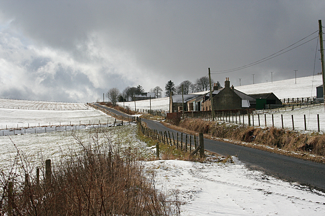
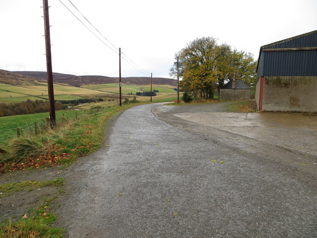
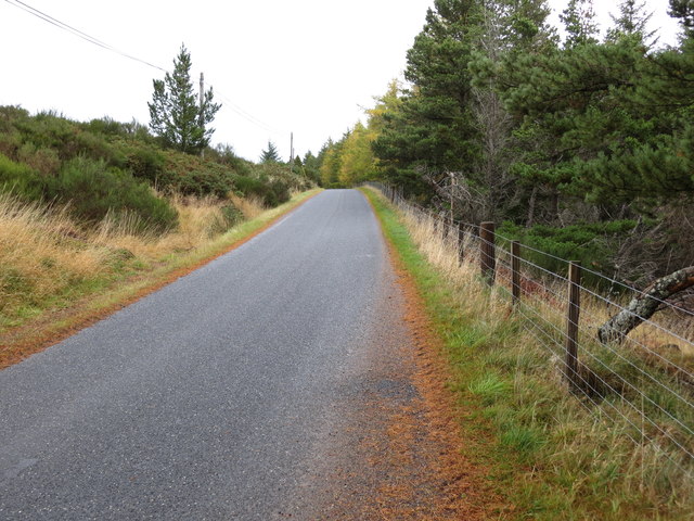
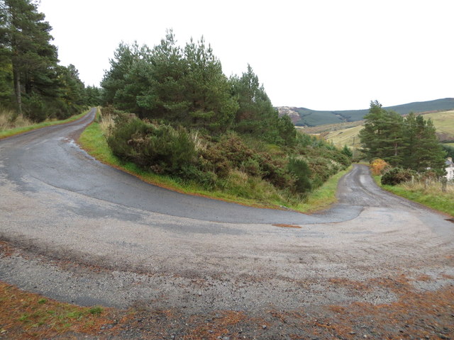
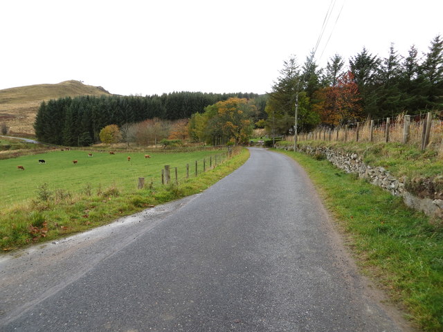
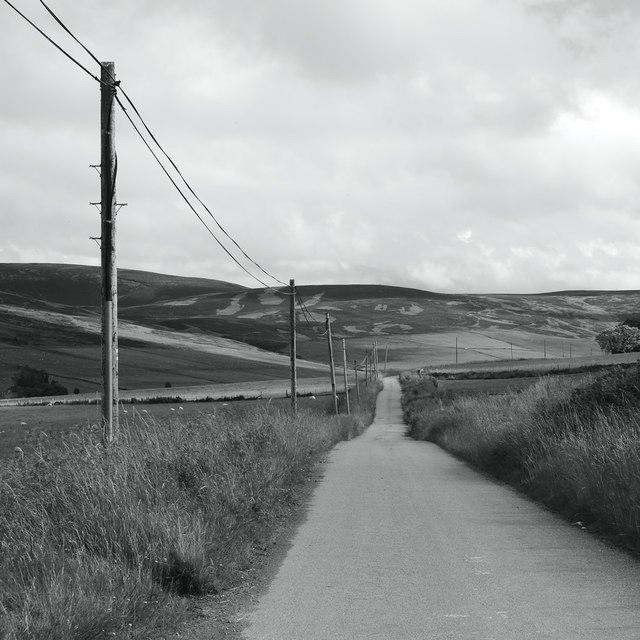
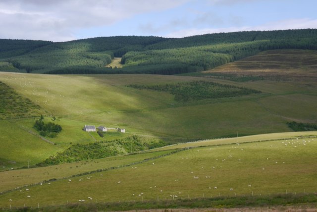
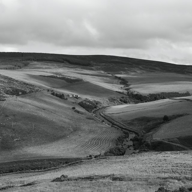
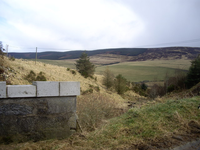
Craigdorney Wood Images
Images are sourced within 2km of 57.40347/-2.9886933 or Grid Reference NJ4035. Thanks to Geograph Open Source API. All images are credited.


Craigdorney Wood is located at Grid Ref: NJ4035 (Lat: 57.40347, Lng: -2.9886933)
Unitary Authority: Aberdeenshire
Police Authority: North East
What 3 Words
///slimy.chop.prank. Near Dufftown, Moray
Nearby Locations
Related Wikis

Beldorney Castle
Beldorney Castle is a Z-plan castle dating from the mid-16th century, about two miles south of Glass, in hilly country in the valley of the Deveron, in...

Glass, Aberdeenshire
Glass is a parish about 8 miles west of Huntly, Aberdeenshire, Scotland. It is now wholly located in Aberdeenshire but before the reorganisation of Scottish...
Blairmore School
Blairmore School was an independent boarding preparatory school in Glass near Huntly, Aberdeenshire until its closure in 1993. The site is now owned and...

Wormy Hillock Henge
Wormy Hillock Henge, also known as The Dragon's Grave, is a small henge in Aberdeenshire, Scotland. It is a Scheduled Ancient Monument located in the Clashindarroch...
Auchindoun Castle
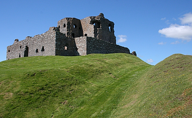
Auchindoun Castle is a 15th-century L-Plan tower castle located in Auchindoun near Dufftown in Moray, Scotland. == History == While there is evidence of...
Torry Burn, Huntly
Torry Burn is a burn which marks the boundary of the parish of Huntly, Aberdeenshire, Scotland. == References ==
Auchindoun, Moray
Auchindoun (Scottish Gaelic: Achadh an Dùin) is a rural hamlet in Moray, Scotland. It is located some 2.5 miles east of Dufftown, which describes itself...
Kye Hill
Kye Hill is a hill by Huntly, Aberdeenshire, Scotland. It lies southwest of The Clashmach hill and is nearly the same height. There is a former limestone...
Nearby Amenities
Located within 500m of 57.40347,-2.9886933Have you been to Craigdorney Wood?
Leave your review of Craigdorney Wood below (or comments, questions and feedback).