Cairn of Camlet
Hill, Mountain in Angus
Scotland
Cairn of Camlet
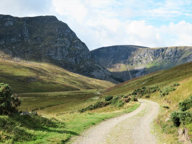
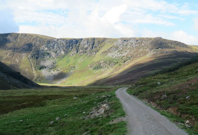
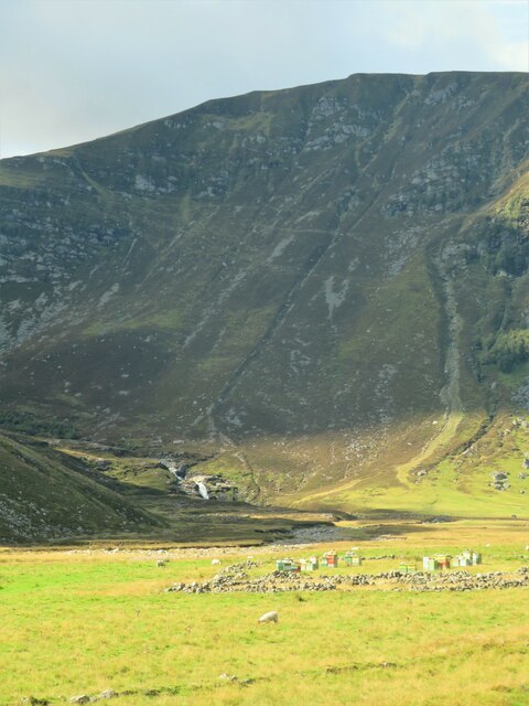
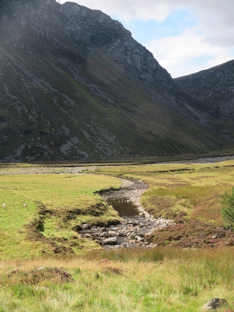
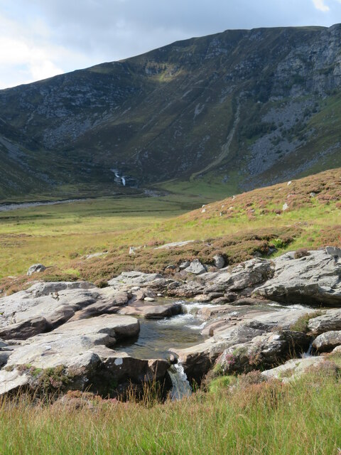
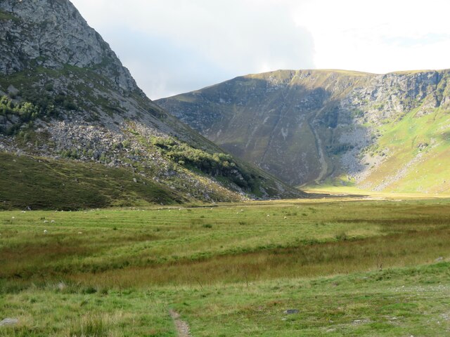
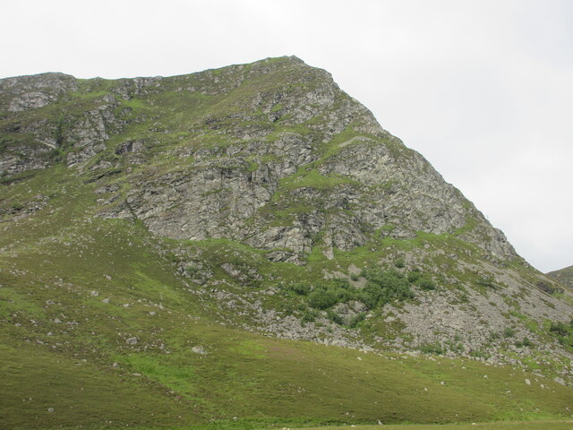
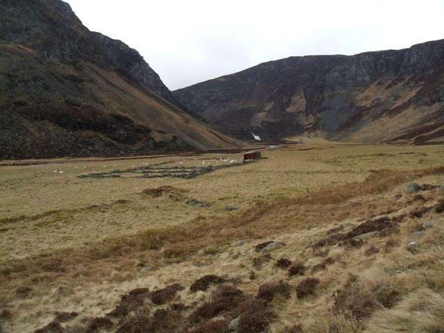
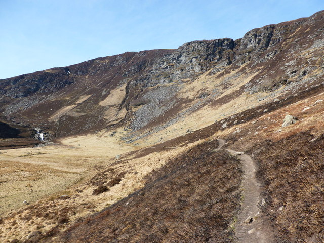
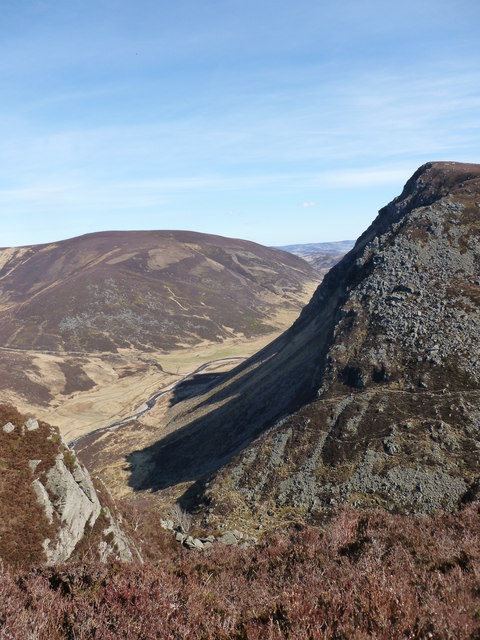
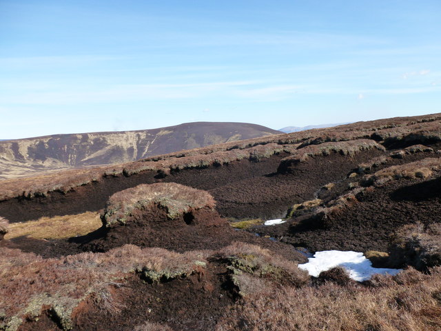
The Cairn of Camlet is a prominent hill located in Angus, Scotland. Standing at an elevation of 377 meters (1,237 feet), it offers breathtaking views of the surrounding countryside and is a popular destination for hikers and outdoor enthusiasts. The hill is characterized by its distinctive cairn, a man-made pile of stones that marks the summit.
The Cairn of Camlet is steeped in history, with archaeological evidence suggesting that it was used as a burial site by ancient peoples. The cairn itself is thought to be several thousand years old and is a testament to the enduring human presence in the area.
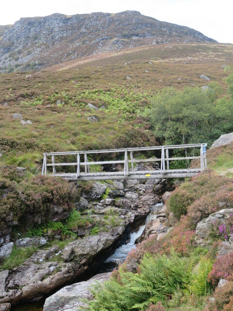
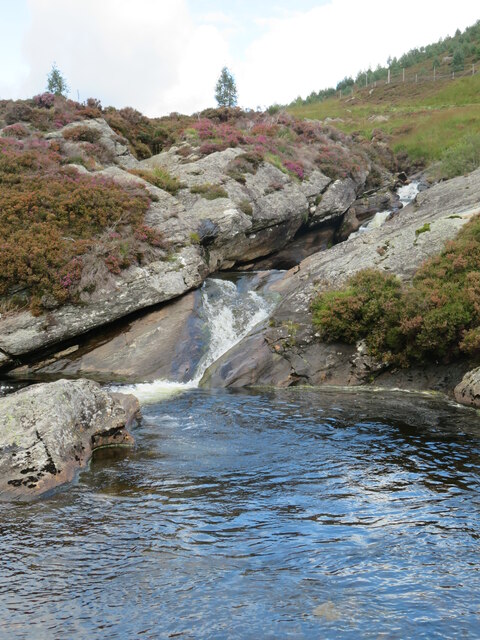
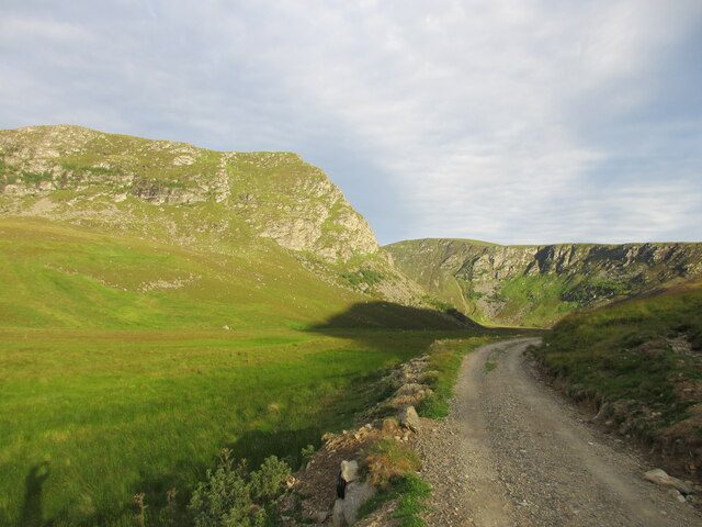
The hill is surrounded by rolling farmland and offers a peaceful and tranquil setting for visitors to enjoy. The area is rich in wildlife, with a variety of bird species and other animals calling it home.
Overall, the Cairn of Camlet is a must-visit destination for those looking to experience the beauty and history of the Scottish countryside. Its ancient cairn, stunning views, and peaceful surroundings make it a truly special place to explore.
If you have any feedback on the listing, please let us know in the comments section below.
Cairn of Camlet Images
Images are sourced within 2km of 56.921047/-2.9884984 or Grid Reference NO3981. Thanks to Geograph Open Source API. All images are credited.
Cairn of Camlet is located at Grid Ref: NO3981 (Lat: 56.921047, Lng: -2.9884984)
Unitary Authority: Angus
Police Authority: Tayside
What 3 Words
///regrowth.verb.racked. Near Ballater, Aberdeenshire
Nearby Locations
Related Wikis

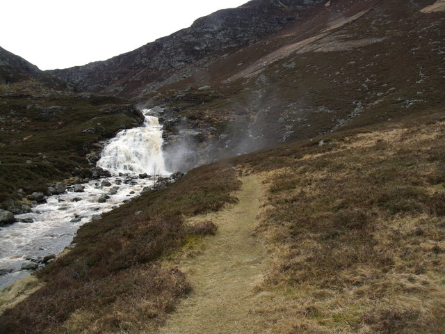
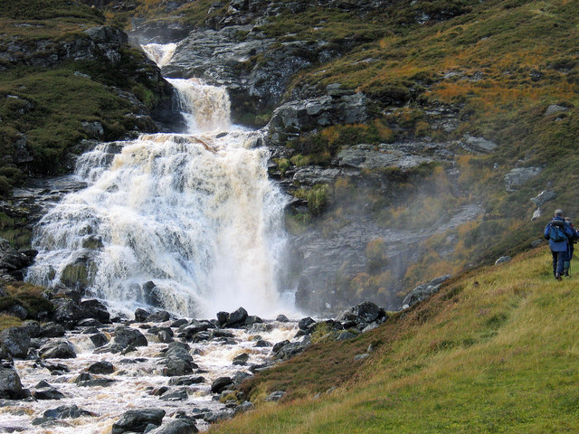
Falls of Unich
Falls of Unich is a waterfall of Scotland. == See also == Waterfalls of Scotland == References == Media related to Falls of Unich at Wikimedia Commons

Glen Mark
Glen Mark is a glen in northern Angus, eastern Scotland, through which the Water of Mark flows. Near the mouth of the glen, at Auchronie, the Water of...

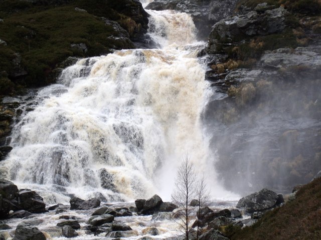
Falls of Damff
Falls of Damff is a waterfall in Cairngorms National Park in Scotland. == See also == Waterfalls of Scotland == References ==

Loch Lee
National grid reference NO431800 Loch Lee is a loch in Angus, Scotland south of the Grampian Mountains that is fed by the Water of Lee and the Water of...
Nearby Amenities
Located within 500m of 56.921047,-2.9884984Have you been to Cairn of Camlet?
Leave your review of Cairn of Camlet below (or comments, questions and feedback).