Gorse Hill
Hill, Mountain in Lancashire West Lancashire
England
Gorse Hill

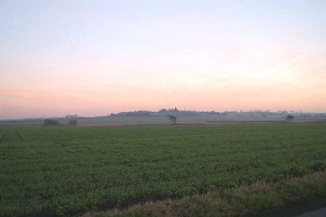
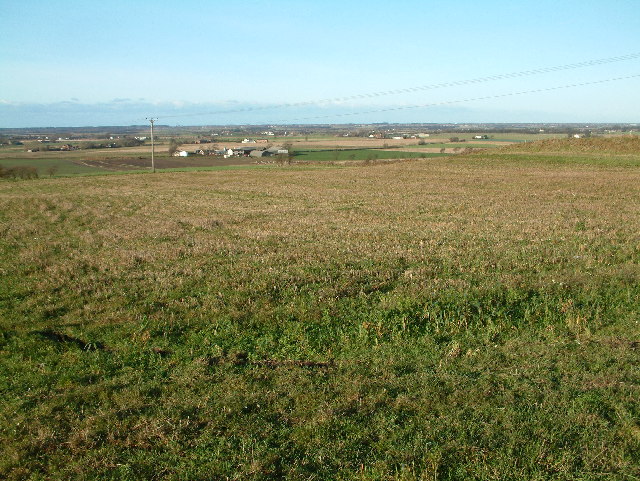
Gorse Hill, located in Lancashire, England, is a prominent hill that offers breathtaking views of the surrounding landscape. It is situated in the borough of Chorley, near the village of Heath Charnock. While it is not categorized as a mountain, Gorse Hill stands out due to its elevation and commanding presence in the area.
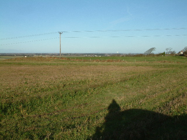
Rising to a height of approximately 215 meters (705 feet) above sea level, Gorse Hill is a popular destination for hikers, nature enthusiasts, and locals seeking a peaceful retreat. Its summit provides panoramic vistas of the picturesque Lancashire countryside, with sprawling fields, woodlands, and the rolling West Pennine Moors in the distance.
The hill is named after the abundant gorse bushes that dot its slopes, creating a vibrant yellow tapestry during spring and summer. These bushes not only add to the natural beauty of the area but also serve as a habitat for various wildlife species, including birds, butterflies, and small mammals.
Visitors can access Gorse Hill via several footpaths and trails that wind through the surrounding countryside. The hill's location makes it easily accessible from nearby towns and villages, offering a convenient escape into nature for locals and visitors alike.
Gorse Hill holds historical significance as well. It is believed to have been used as a lookout point during the English Civil War in the 17th century. Today, it stands as a cherished natural landmark, attracting visitors who appreciate its stunning vistas, peaceful atmosphere, and the opportunity to connect with Lancashire's rich natural heritage.
If you have any feedback on the listing, please let us know in the comments section below.
Gorse Hill Images
Images are sourced within 2km of 53.563241/-2.9086669 or Grid Reference SD3907. Thanks to Geograph Open Source API. All images are credited.


Gorse Hill is located at Grid Ref: SD3907 (Lat: 53.563241, Lng: -2.9086669)
Administrative County: Lancashire
District: West Lancashire
Police Authority: Lancashire
What 3 Words
///prefer.vibrates.carbon. Near Ormskirk, Lancashire
Nearby Locations
Related Wikis

St Bede's Catholic High School, Ormskirk
St. Bede's Catholic High School is a Roman Catholic, co-educational secondary school located on St. Anne's Road, Ormskirk, Lancashire, North West England...

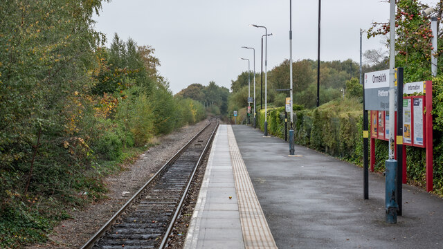
Aughton Park railway station
Aughton Park railway station is a railway station that serves the village of Aughton, Lancashire, England, on the Ormskirk branch of the Northern Line...

Ormskirk
Ormskirk is a market town in the West Lancashire district of Lancashire, England. It is located 13 miles (21 km) north of Liverpool, 11 miles (18 km) northwest...
Battle of Ormskirk
The Battle of Ormskirk was fought on 20 August 1644 during the First English Civil War. It was a decisive victory for the Parliamentarian force commanded...
West Lancashire Rural District
West Lancashire was a rural district from 1894 to 1974 in Lancashire, England. It was created with other rural districts in 1894, based on the Ormskirk...
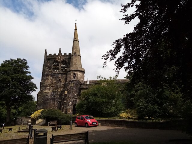
Church of St Peter and St Paul, Ormskirk
The Church of St Peter and St Paul is in the market town of Ormskirk, Lancashire, England. Dating from no later than the 12th century, it is one of only...
Ormskirk bus station
Ormskirk bus station is a bus station in Ormskirk, England. == Connections == The bus station is connected to Ormskirk railway station via a shared-use...
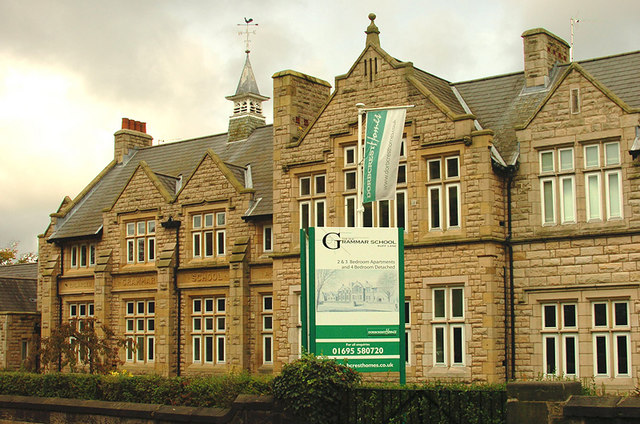
Ormskirk Grammar School
Ormskirk Grammar School was a school in Ormskirk, West Lancashire, England. == History == It was founded circa 1610 and moved from the original school...
Related Videos

Locked down, Serving a Second stretch at UK's Oldest Magistrates Court
Today we are back at Ormskirk's Magistrates Court. Work has started and I'm back to give you all a tour. Court room one is making ...

Walking to Edge Hill University | Omrskirk Town Centre | UK Universities Tour and Campus Review
Walking across the small town of Ormskirk to Edge Hill University. Do not forget to watch the full campus tour and review of Edge ...


Nearby Amenities
Located within 500m of 53.563241,-2.9086669Have you been to Gorse Hill?
Leave your review of Gorse Hill below (or comments, questions and feedback).