Atherstone Hill
Hill, Mountain in Somerset South Somerset
England
Atherstone Hill

Atherstone Hill is a prominent landmark located in Somerset, England. Situated in the Mendip Hills, it is part of the larger Atherstone Nature Reserve. The hill reaches an elevation of approximately 266 meters (873 feet) above sea level, making it one of the highest points in the region.
The hill is characterized by its steep incline and rugged terrain, covered in dense vegetation and rocky outcrops. It offers panoramic views of the surrounding countryside, including the nearby Chew Valley Lake and the Bristol Channel in the distance.
Atherstone Hill is a popular destination for outdoor enthusiasts and nature lovers. Hikers and walkers often venture to the top of the hill to enjoy the breathtaking vistas and explore the diverse flora and fauna that inhabit the area. The hill is also a habitat for various bird species, including buzzards and kestrels, making it a haven for birdwatchers.
The Atherstone Nature Reserve, encompassing the hill, boasts a rich biodiversity with a range of plant species, such as heather, bracken, and gorse. The reserve is also home to several rare and protected species, including the greater and lesser horseshoe bats.
With its natural beauty and ecological importance, Atherstone Hill serves as both a recreational destination and an important conservation area in Somerset. It offers visitors a chance to connect with nature, appreciate stunning landscapes, and witness the diverse wildlife that thrives in this unique part of England.
If you have any feedback on the listing, please let us know in the comments section below.
Atherstone Hill Images
Images are sourced within 2km of 50.940639/-2.8710487 or Grid Reference ST3816. Thanks to Geograph Open Source API. All images are credited.


Atherstone Hill is located at Grid Ref: ST3816 (Lat: 50.940639, Lng: -2.8710487)
Administrative County: Somerset
District: South Somerset
Police Authority: Avon and Somerset
What 3 Words
///gains.sapping.casually. Near Ilminster, Somerset
Nearby Locations
Related Wikis

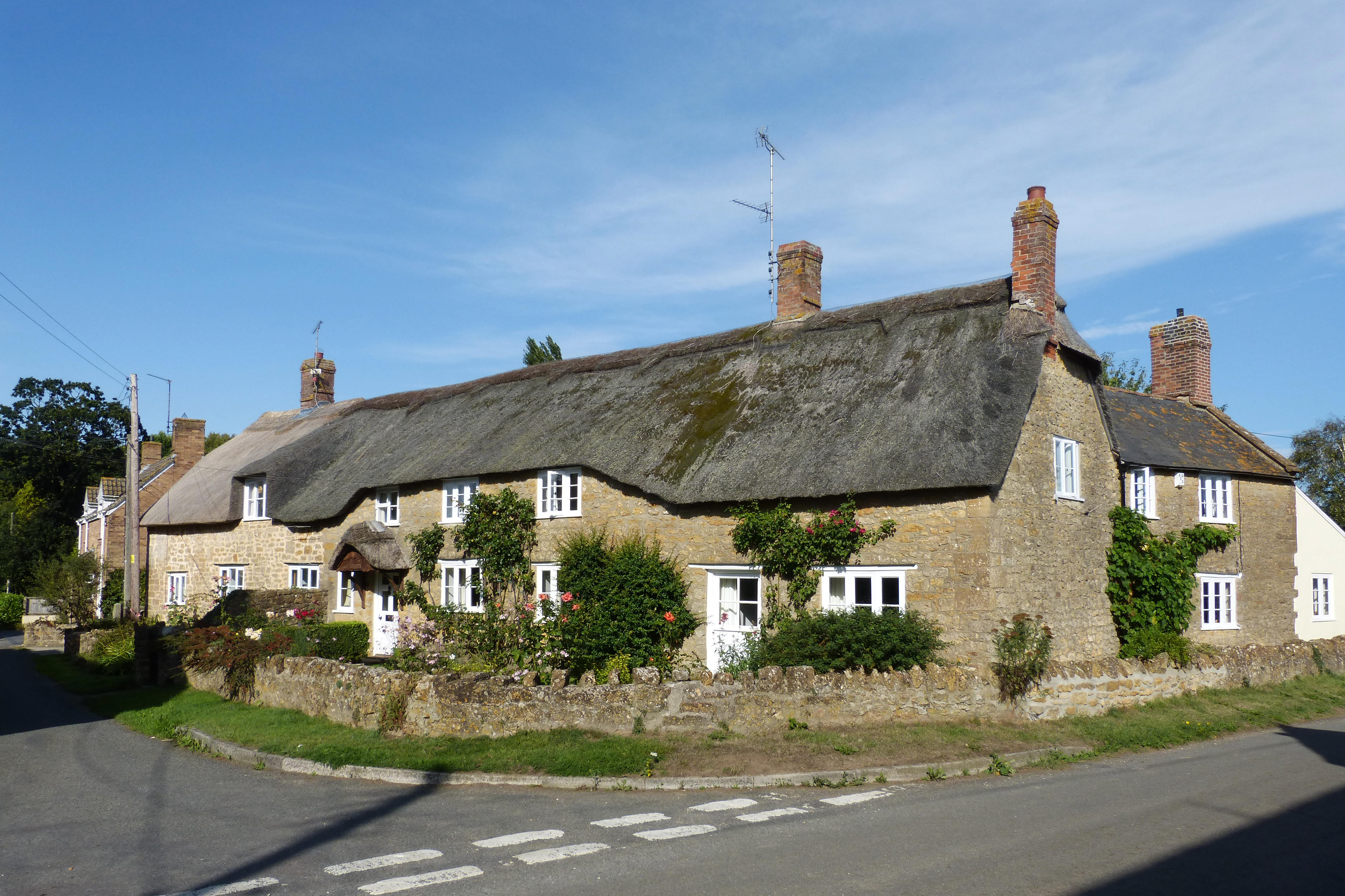
Whitelackington
Whitelackington is a village and civil parish on the A303 one mile north east of Ilminster, in Somerset, England. The parish includes Dillington Park and...

Hurcott Lane Cutting
Hurcott Lane Cutting (grid reference ST398163) is a 0.48 hectare geological Site of Special Scientific Interest in Somerset, notified in 1996. == Sources... ==
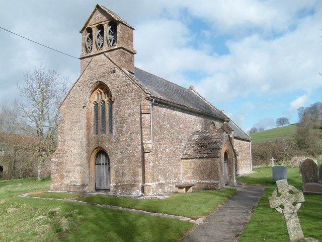
Church of St Mary Magdalene, Stocklinch
The Church of St Mary Magdalen in Stocklinch, Somerset, England, dates from the 13th century. It is recorded in the National Heritage List for England...
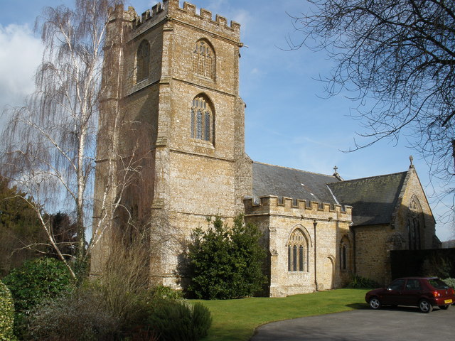
Church of St Mary the Virgin, Whitelackington
The Anglican Church of St Mary the Virgin in Whitelackington, Somerset, England was built in the 14th and 15th centuries. It is a Grade II* listed building...
Stocklinch
Stocklinch is a village and civil parish 3.5 miles (6 km) north-east of Ilminster in the South Somerset district of Somerset, England. == History == The...
Seavington St Mary
Seavington St Mary is a village and civil parish in Somerset, England. It is situated next to the village of Seavington St Michael, about 3 miles (4.8...

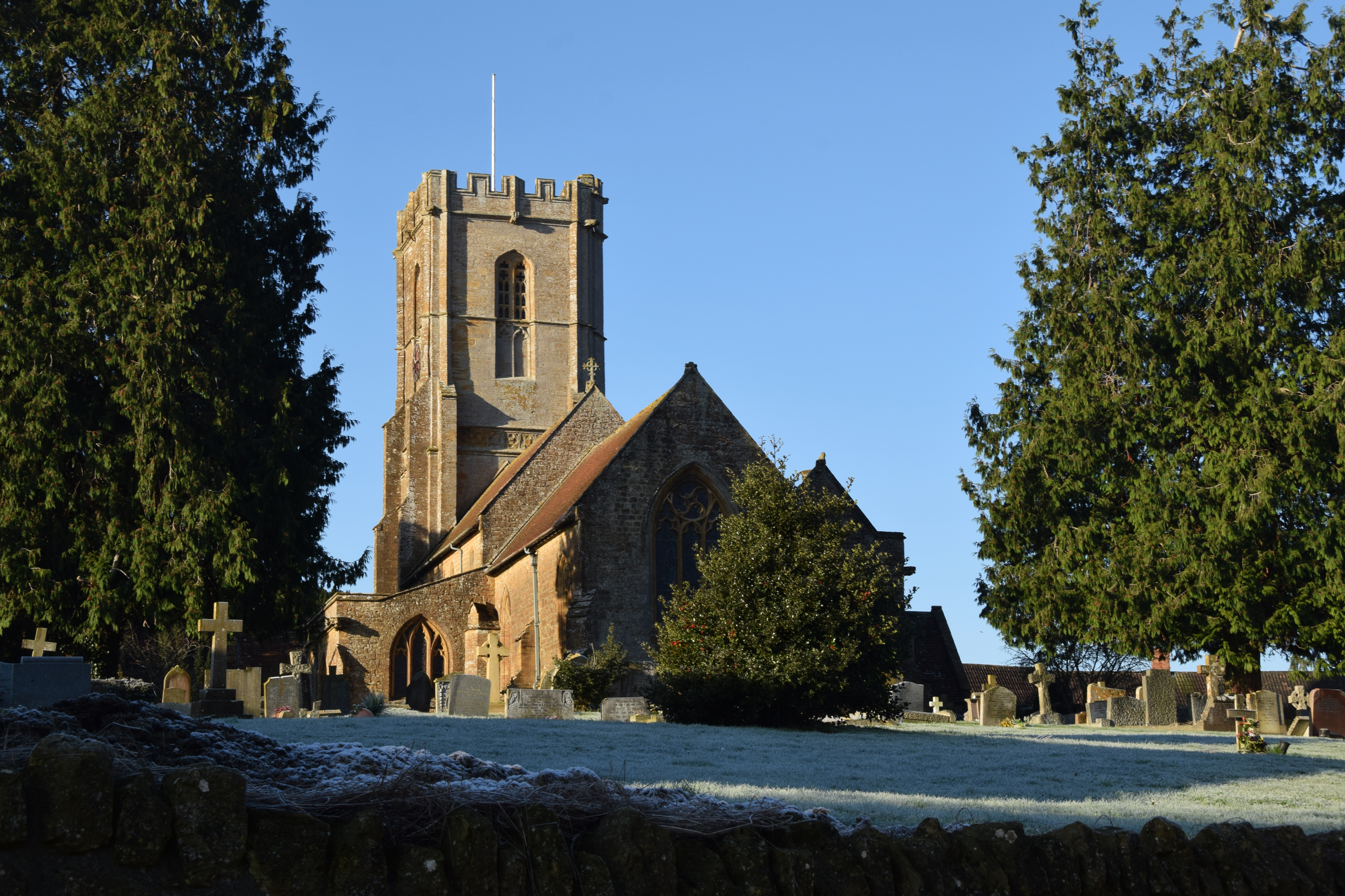
Church of St Mary, Seavington St Mary
The Church of St Mary in Seavington St Mary, Somerset, England, dates from the 15th century and is recorded in the National Heritage List for England as...
Church of St Michael, Shepton Beauchamp
The Church of St Michael in Shepton Beauchamp, Somerset, England is built of local hamstone, and has 13th-century origins, although it has been extensively...
Nearby Amenities
Located within 500m of 50.940639,-2.8710487Have you been to Atherstone Hill?
Leave your review of Atherstone Hill below (or comments, questions and feedback).