Bel Hillock

Hill, Mountain in Angus

Scotland

Bel Hillock

Slopes above the Prosen Water Taken from the minor road that runs along the top of a steep bank leading down to the Prosen Water. The road itself is almost level on a small ridge, but there is steep ground dropping off within a few metres either side, that to the south dropping down to the little Quharity Burn which follows a very strange course much influenced by glacial action. I suspect that the ridge from which the photo was taken is also of glacial origin. The Geology of Britain website confirms that the superficial deposits are glaciofluvial whilst the hidden bedrock is a conglomerate of the Devonian period, thus south of the Highland boundary fault.
Slopes above the Prosen Water Credit: Gordon Hatton

Bel Hillock, Angus, also known as Bel Hill, is a prominent hill located in the county of Angus, Scotland. Standing at an elevation of approximately 160 meters (525 feet), it is a notable landmark in the area. Bel Hillock is situated near the village of Edzell, about 6 kilometers (3.7 miles) to the northeast of the town of Brechin.

The hill is part of the larger Angus Glens landscape, surrounded by picturesque countryside and rolling hills. It offers breathtaking panoramic views of the surrounding area, including the Grampian Mountains to the west and the North Sea to the east. On a clear day, visitors can also catch a glimpse of the famous Cairngorms National Park in the distance.

Bel Hillock is a popular destination for hikers and nature enthusiasts, boasting several walking trails that cater to different fitness levels. The routes vary in length and difficulty, allowing visitors to choose the one that suits their preferences and abilities. The hill is covered in lush green vegetation, with patches of heather and gorse adding bursts of color to the landscape.

Due to its elevated position, Bel Hillock is also home to a variety of wildlife, including birds of prey such as buzzards and kestrels. It is not uncommon to spot rabbits, hares, and deer roaming the area. The hill offers a peaceful and tranquil atmosphere, making it a perfect spot for a leisurely walk or a picnic with family and friends.

In conclusion, Bel Hillock, Angus, is a stunning hill in Scotland's Angus Glens region, offering visitors breathtaking views, diverse hiking trails, and abundant wildlife. It is a must-visit destination for those seeking a connection with nature and a chance to immerse themselves in the beauty of the Scottish countryside.

If you have any feedback on the listing, please let us know in the comments section below.

Bel Hillock Images

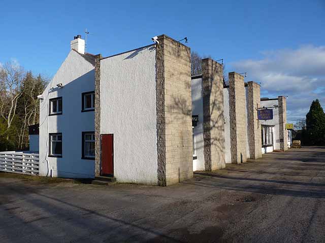
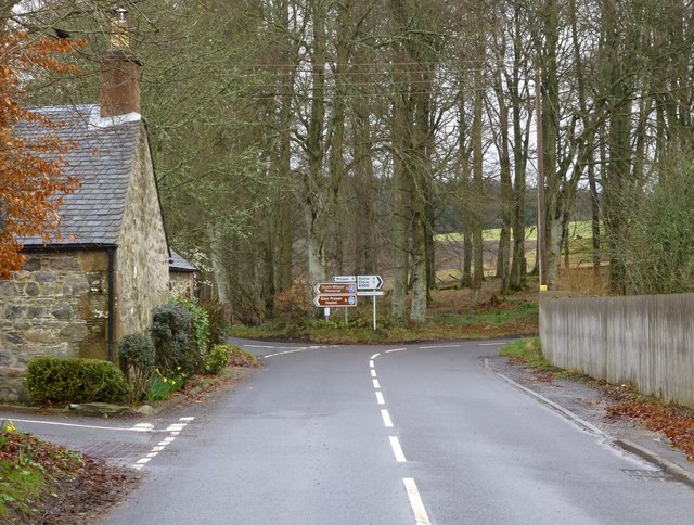
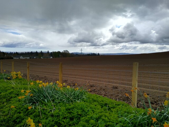
Images are sourced within 2km of 56.712604/-3.00034 or Grid Reference NO3858. Thanks to Geograph Open Source API. All images are credited.

Slopes above the Prosen Water Taken from the minor road that runs along the top of a steep bank leading down to the Prosen Water. The road itself is almost level on a small ridge, but there is steep ground dropping off within a few metres either side, that to the south dropping down to the little Quharity Burn which follows a very strange course much influenced by glacial action. I suspect that the ridge from which the photo was taken is also of glacial origin. The Geology of Britain website confirms that the superficial deposits are glaciofluvial whilst the hidden bedrock is a conglomerate of the Devonian period, thus south of the Highland boundary fault.
Slopes above the Prosen Water
Taken from the minor road that runs along the top of a steep bank leading down to the Prosen Water. The road itself is almost level on a small ridge, but there is steep ground dropping off within a few metres either side, that to the south dropping down to the little Quharity Burn which follows a very strange course much influenced by glacial action. I suspect that the ridge from which the photo was taken is also of glacial origin. The Geology of Britain website confirms that the superficial deposits are glaciofluvial whilst the hidden bedrock is a conglomerate of the Devonian period, thus south of the Highland boundary fault.
Royal Jubilee Arms Hotel, Dykehead Rather unusual architecture, beside the B965 Glen Clova to Kirriemuir road.
Royal Jubilee Arms Hotel, Dykehead
Rather unusual architecture, beside the B965 Glen Clova to Kirriemuir road.
Royal Jubilee Arms Hotel, Dykehead to be demolished As it used to be: <a title="https://www.geograph.org.uk/photo/2868870" href="https://www.geograph.org.uk/photo/2868870">Link</a>  What a loss.

An email from Tricia Cook-Bosnell in Canada on 25/09/2017 

Thank you for taking a photo of the Royal Jubilee Arms (Dykehead) Hotel in Cortachy. My Grandfather, William Brow, was the last of the Brow children to be born there, it was owned by his family since the 1800's, a smaller hotel was on the same property known as the Brow's Hotel before the "Jube" was built. It has been a great part of my Mum's family history and now as she is getting up in age, 85, and we are now in Canada I can share the final phases of that history. Thank you for what you do to photograph some of our family history! It is appreciated. Yet so sad to see it in such terrible condition, it was once a family home for her father's family.
Royal Jubilee Arms Hotel, Dykehead to be demolished
As it used to be: Link What a loss. An email from Tricia Cook-Bosnell in Canada on 25/09/2017 Thank you for taking a photo of the Royal Jubilee Arms (Dykehead) Hotel in Cortachy. My Grandfather, William Brow, was the last of the Brow children to be born there, it was owned by his family since the 1800's, a smaller hotel was on the same property known as the Brow's Hotel before the "Jube" was built. It has been a great part of my Mum's family history and now as she is getting up in age, 85, and we are now in Canada I can share the final phases of that history. Thank you for what you do to photograph some of our family history! It is appreciated. Yet so sad to see it in such terrible condition, it was once a family home for her father's family.
Clova or Prosen? Left for Glen Prosen, right for Glen Clova but both are splendid!
Clova or Prosen?
Left for Glen Prosen, right for Glen Clova but both are splendid!
Royal Jubilee Arms Hotel The derelict Royal Jubilee Arms Hotel at Dykehead.
Royal Jubilee Arms Hotel
The derelict Royal Jubilee Arms Hotel at Dykehead.
Furrowed field above Dykehead Coming down the path that circumnavigates Mile Hill, this gently sloping furrowed fields borders the way into the bustling metropolis of Dykehead (just kidding about the metropolis).
Furrowed field above Dykehead
Coming down the path that circumnavigates Mile Hill, this gently sloping furrowed fields borders the way into the bustling metropolis of Dykehead (just kidding about the metropolis).
Fording the Quharity Burn A ford on the Quharity (or Carity) Burn, which flows from the slopes of Strone Hill and eventually joins the South Esk.
Fording the Quharity Burn
A ford on the Quharity (or Carity) Burn, which flows from the slopes of Strone Hill and eventually joins the South Esk.
The Prosen Water near Prosenhaugh The river appears to have incised into the ground to the left (south) of the picture.  This is on or adjacent to the Highland Boundary Fault, north of Strathmore.  Cat Law in the background.
The Prosen Water near Prosenhaugh
The river appears to have incised into the ground to the left (south) of the picture. This is on or adjacent to the Highland Boundary Fault, north of Strathmore. Cat Law in the background.
Cortachy Castle Gardens Taken during The Scotland's Garden Scheme open day 2011
Cortachy Castle Gardens
Taken during The Scotland's Garden Scheme open day 2011
Cortachy Castle Taken from the lawns to the west of the castle.
Cortachy Castle
Taken from the lawns to the west of the castle.
Cortachy Bridge The bridge carries the Cortachy to Memus and Glenmoy road over the River South Esk. The large boulder in the river is known as The "De'ils Stane" (Devil's Stone)
Cortachy Bridge
The bridge carries the Cortachy to Memus and Glenmoy road over the River South Esk. The large boulder in the river is known as The "De'ils Stane" (Devil's Stone)
War Memorial at Cortachy The area around the memorial has been cleared this year and a new fence constructed.
War Memorial at Cortachy
The area around the memorial has been cleared this year and a new fence constructed.
Cortachy Church
Cortachy Church
Gravestones at Cortachy
Laburnum Arch at Cortachy
Tombstone, Cortachy Church
Cortachy Kirk graveyard
Cortachy Castle
Cortachy Castle
Show me another place!

Bel Hillock is located at Grid Ref: NO3858 (Lat: 56.712604, Lng: -3.00034)

Unitary Authority: Angus

Police Authority: Tayside

What 3 Words

///skid.siblings.kingdom. Near Kirriemuir, Angus

Nearby Locations

Bel Hillock

Related Wikis

Cortachy

Cortachy is a village in Angus, Scotland. It lies in at the mouth of Glen Clova, on the River South Esk, four miles north of Kirriemuir. Nearby lies Cortachy...

Cortachy Castle

Cortachy Castle is a castellated mansion House at Cortachy, Angus, Scotland, some four miles north of Kirriemuir. The present building dates from the 15th...

Inverquharity Castle

Inverquharity Castle is a 15th-century tower house in Angus, Scotland. It lies around 4.5 kilometres (2.8 mi) north-east of Kirriemuir near the River South...

Inverquharity

Inverquharity is a Roman fortlet in Scotland, close to the Highland Line about 5 miles (8 km) north of Kirriemuir, Angus. Although very little archaeological...

Nearby Amenities

Located within 500m of 56.712604,-3.00034
Power: tower
Source: Bing
Lat/Long: 56.7085734/-2.9985792
Power: tower
Source: Bing
Lat/Long: 56.7084705/-3.0029883
Ford: yes
Lat/Long: 56.7124484/-3.0043774
East Kinwhirrie
Place: hamlet
Lat/Long: 56.7134164/-3.0077748
Power: pole
Lat/Long: 56.7090814/-3.0040071
Power: pole
Lat/Long: 56.7095781/-3.0044574
Power: pole
Lat/Long: 56.7100686/-3.0049035
Power: pole
Lat/Long: 56.7105809/-3.0053695
Power: pole
Lat/Long: 56.7112016/-3.0059392
Power: pole
Lat/Long: 56.7118637/-3.0065317
Power: pole
Lat/Long: 56.7124937/-3.0071341
Power: pole
Lat/Long: 56.7131378/-3.007718
Power: pole
Lat/Long: 56.7133272/-3.0083772
Power: pole
Lat/Long: 56.7101107/-3.0034587
Power: pole
Lat/Long: 56.7107306/-3.0031134
The data included in this document is from www.openstreetmap.org. The data is made available under ODbL.

Have you been to Bel Hillock?

Leave your review of Bel Hillock below (or comments, questions and feedback).