Am Mullach
Hill, Mountain in Aberdeenshire
Scotland
Am Mullach
Am Mullach is a prominent hill located in Aberdeenshire, Scotland. It is situated within the Cairngorms National Park, approximately 10 miles south of Braemar. With an elevation of 1,072 meters (3,517 feet), it is considered one of the notable mountains in the region.
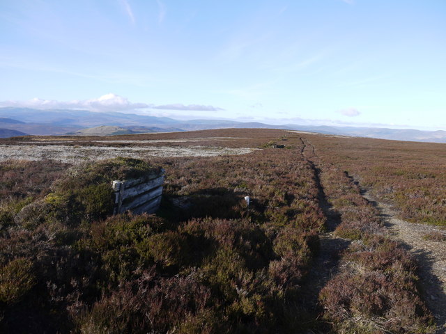
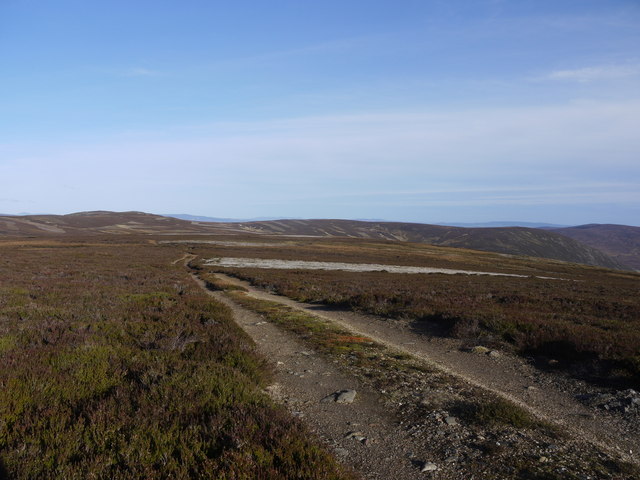
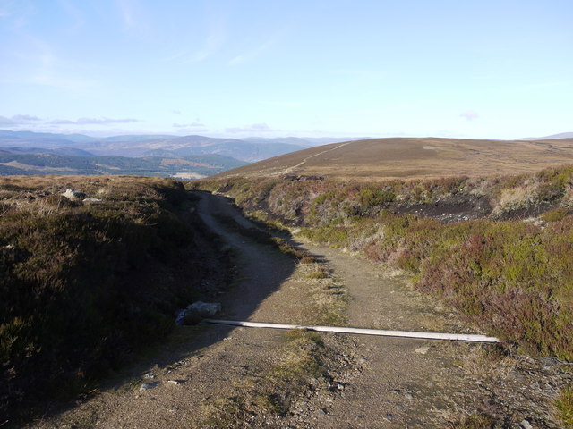
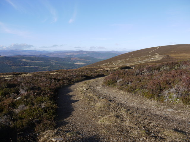
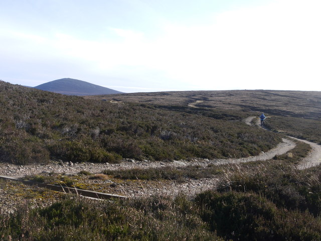
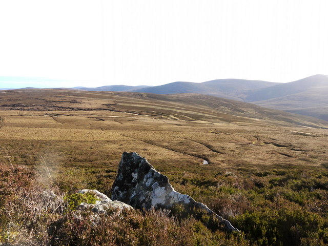
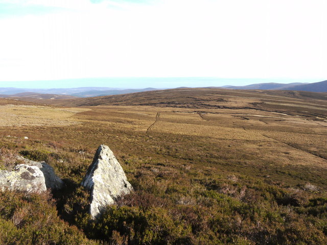
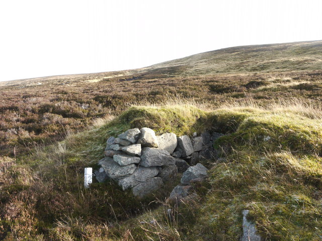
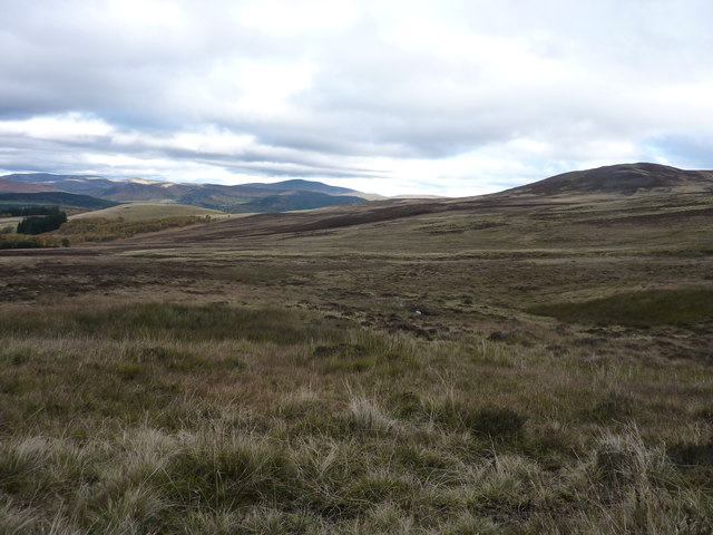
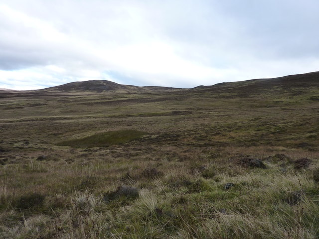
The hill boasts a distinctive pyramid-like shape and is formed by ancient granite rocks. Its slopes are covered in heather and scattered with patches of scree, making it a challenging terrain for hikers and climbers. The southern side of Am Mullach features steep cliffs that add to its rugged appeal.
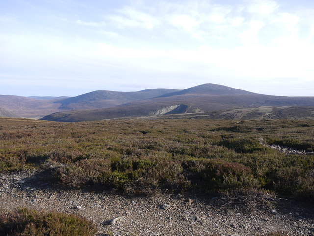
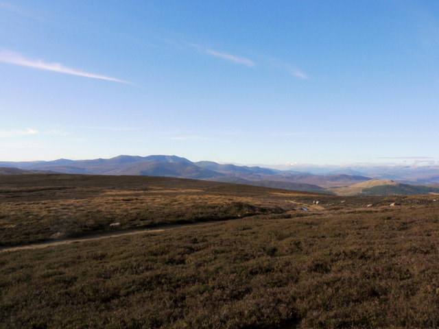
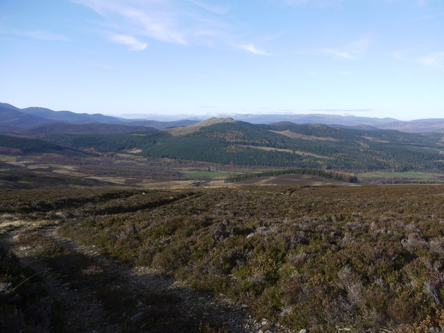
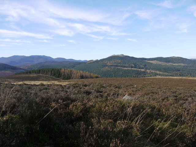
The hill offers breathtaking views of the surrounding landscape, including the nearby River Dee and the expansive Grampian Mountains. On clear days, it is possible to see as far as Lochnagar, which is another prominent mountain in the area.
Am Mullach is a popular destination for outdoor enthusiasts, attracting hikers and climbers from far and wide. There are several routes to reach its summit, each varying in difficulty and length. The most common approach is from the nearby Glenshee Ski Centre, where a well-marked trail leads up the mountain.
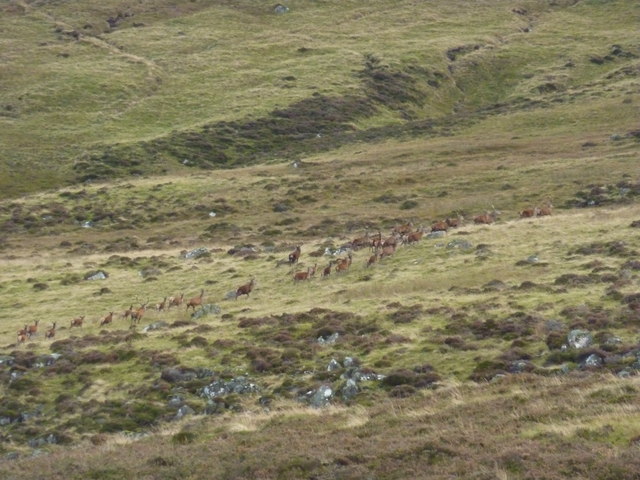
While ascending Am Mullach, visitors may encounter various wildlife species, including mountain hares, red grouse, and ptarmigans. The hill is also home to a diverse range of flora, with patches of bilberry, crowberry, and various grasses dotting the landscape.
Overall, Am Mullach offers a challenging yet rewarding experience for outdoor enthusiasts, providing stunning views and a chance to immerse oneself in the natural beauty of Aberdeenshire.
If you have any feedback on the listing, please let us know in the comments section below.
Am Mullach Images
Images are sourced within 2km of 57.000222/-3.0295962 or Grid Reference NO3790. Thanks to Geograph Open Source API. All images are credited.

Am Mullach is located at Grid Ref: NO3790 (Lat: 57.000222, Lng: -3.0295962)
Unitary Authority: Aberdeenshire
Police Authority: North East
What 3 Words
///modest.node.freedom. Near Ballater, Aberdeenshire
Nearby Locations
Related Wikis

Kincardine and Deeside
Kincardine and Deeside was formerly (1975–96) a local government district in the Grampian Region of Scotland. In 1996 it was included in the Aberdeenshire...
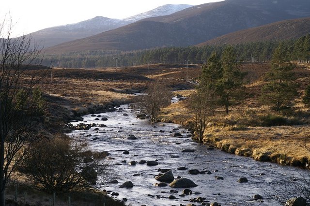
River Muick
River Muick () is a river of the Grampian Mountains of Aberdeenshire, Scotland. A tributary of the River Dee, it flows for about 6 kilometres (3.7 mi)...
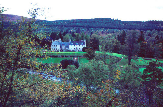
Birkhall
Birkhall (from the Scots Birk Hauch: "Birch River-meadow") is a 210 km2 (52,000 acres) estate on Royal Deeside, Aberdeenshire, Scotland, owned by King...
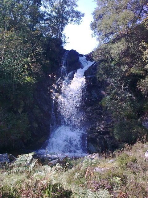
Linn of Muick
Linn of Muick is a waterfall on the river Muick, Aberdeenshire, Scotland. == See also == Waterfalls of Scotland Media related to Linn of Muick at Wikimedia...

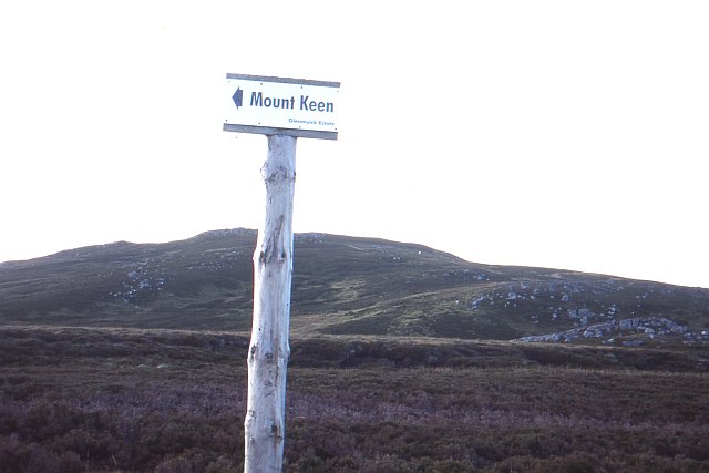
Mount Keen
Mount Keen (Scottish Gaelic: Monadh Caoin) is a 939-metre-high (3,081 ft) mountain in Scotland and the most easterly Munro. It can be accessed from several...
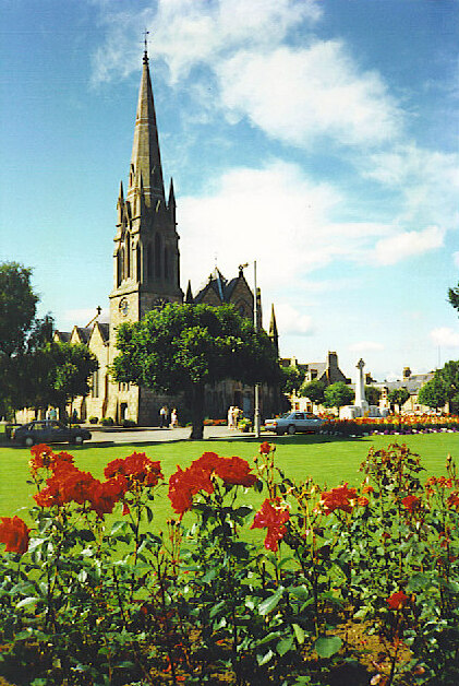
Ballater
Ballater (, Scottish Gaelic: Bealadair) is a village in Aberdeenshire, Scotland, on the River Dee, immediately east of the Cairngorm Mountains. Situated...

Knock Castle, Aberdeenshire
Knock Castle is a ruined tower house in Aberdeenshire, north-east Scotland. It is typical of the traditional type of residence of a laird, a Scottish landed...
Victoria Barracks, Ballater
Victoria Barracks is a military installation in Ballater, Scotland. == History == The barracks were built as temporary accommodation in 1850 to accommodate...
Have you been to Am Mullach?
Leave your review of Am Mullach below (or comments, questions and feedback).