Mid Hill

Hill, Mountain in Selkirkshire

Scotland

Mid Hill

Minor road beside Borthwick Water Looking north-eastward.
Minor road beside Borthwick Water Credit: Peter Wood

Mid Hill is a prominent hill located in Selkirkshire, a historic county in the Scottish Borders region of Scotland. Standing at an elevation of approximately 467 meters (1,532 feet), it is considered a popular destination for hikers and outdoor enthusiasts.

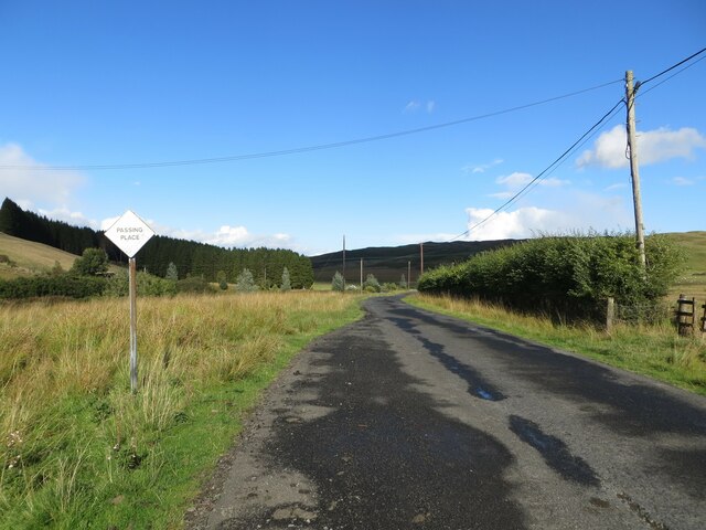
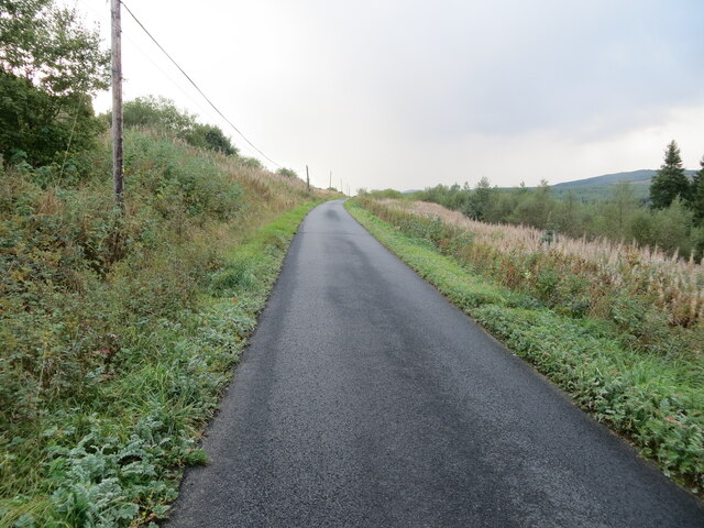
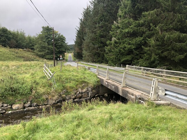
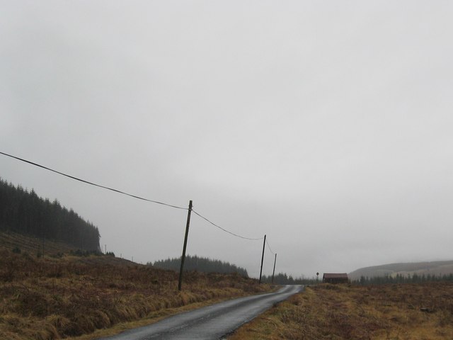
Situated to the south of the town of Selkirk, Mid Hill offers breathtaking panoramic views of the surrounding landscape, including the rolling hills and valleys that characterize the area. The hill is primarily composed of grassy slopes, making it accessible to walkers of various abilities. Its well-defined paths and trails make it an ideal destination for those seeking a leisurely stroll or a more challenging hike.

The summit of Mid Hill is marked by a cairn, a man-made pile of stones traditionally used as a marker or memorial. From this vantage point, visitors can enjoy commanding views of the neighboring hills and the picturesque Yarrow Valley.

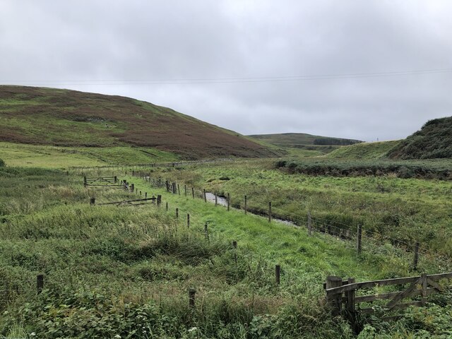
The hill is also home to a diverse range of flora and fauna, including heather, bilberry bushes, and various bird species. Wildlife enthusiasts may spot red grouse, curlews, and even the occasional mountain hare.

Given its accessibility and natural beauty, Mid Hill attracts a steady stream of visitors throughout the year. Its location within the Scottish Borders, an area renowned for its rich history and cultural heritage, also makes it an appealing destination for those looking to explore the region's historic sites and charming towns.

If you have any feedback on the listing, please let us know in the comments section below.

Mid Hill Images

Images are sourced within 2km of 55.361341/-2.986703 or Grid Reference NT3707. Thanks to Geograph Open Source API. All images are credited.

Minor road beside Borthwick Water Looking north-eastward.
Minor road beside Borthwick Water
Looking north-eastward.
Forest track giving access to Eild Rig and Eilrig Looking south-eastward.
Forest track giving access to Eild Rig and Eilrig
Looking south-eastward.
Minor road beneath Eild Rig Looking south-westward.
Minor road beneath Eild Rig
Looking south-westward.
Fence and tree enclosed minor road Looking south-westward. At this point Borthwick Water to the right is audible but not visible.
Fence and tree enclosed minor road
Looking south-westward. At this point Borthwick Water to the right is audible but not visible.
Forest track near to Turf Hill Looking south-westward.
Forest track near to Turf Hill
Looking south-westward.
Old Boundary Marker near Calfshaw Head Estate Boundary Marker beside a wooden fence on the edge of Craik Forest, 545 metres northeast of Calfshaw Head. Inscribed I on the north face. On the former boundary of Teviothead and Roberton parishes in Roxburghshire, but the inscription perhaps indicates this is an estate marker.

Milestone Society National ID: RX_TEVROB01em
Old Boundary Marker near Calfshaw Head
Estate Boundary Marker beside a wooden fence on the edge of Craik Forest, 545 metres northeast of Calfshaw Head. Inscribed I on the north face. On the former boundary of Teviothead and Roberton parishes in Roxburghshire, but the inscription perhaps indicates this is an estate marker. Milestone Society National ID: RX_TEVROB01em
Ordnance Survey Cut Mark This can be found on the top of a roadside milestone near Elder Knowe.
The recorded details give a height of 195.92 metres above sea level.
For more details see : <span class="nowrap"><a title="https://www.bench-marks.org.uk/bm164867" rel="nofollow ugc noopener" href="https://www.bench-marks.org.uk/bm164867">Link</a><img style="margin-left:2px;" alt="External link" title="External link - shift click to open in new window" src="https://s1.geograph.org.uk/img/external.png" width="10" height="10"/></span>
Ordnance Survey Cut Mark
This can be found on the top of a roadside milestone near Elder Knowe. The recorded details give a height of 195.92 metres above sea level. For more details see : LinkExternal link
Eildrig Burn Edge of the vast Craik Forest.
Eildrig Burn
Edge of the vast Craik Forest.
Road to Craik Crossing the Eildrig Burn into the forest.
Road to Craik
Crossing the Eildrig Burn into the forest.
Rough land and forest on Turf Hill Near Craik in Roxburghshire.
Rough land and forest on Turf Hill
Near Craik in Roxburghshire.
Single track road heading for Craik and Howpasley In Roxburghshire.
Single track road heading for Craik and Howpasley
In Roxburghshire.
Road heading for forest land below Turf Hill Near Craik in Roxburghshire.
Road heading for forest land below Turf Hill
Near Craik in Roxburghshire.
Minor road heading towards Howpasley in Roxburghshire. An old, brick built, farm building lies ahead.
Minor road heading towards Howpasley in Roxburghshire.
An old, brick built, farm building lies ahead.
Forestry lands near Eilrig in Roxburghshire Sections have been flattened while the rest beyond awaits the same fate.
Forestry lands near Eilrig in Roxburghshire
Sections have been flattened while the rest beyond awaits the same fate.
Country road crossing the burn on the way to Howpasley Near Meadshaw in Roxburghshire.
Country road crossing the burn on the way to Howpasley
Near Meadshaw in Roxburghshire.
Limie Sike A small burn in Eilrig Forest
Limie Sike
A small burn in Eilrig Forest
Eilrig Forest Two young spruce in the foreground. Beyond is a parcel of young larch just coming into leaf, with mature spruce beyond.
Eilrig Forest
Two young spruce in the foreground. Beyond is a parcel of young larch just coming into leaf, with mature spruce beyond.
Patchwork of colour in Eilrig Forest Looking down into the valley of the Borthwick Water. Tuley tubes in the foreground protect young hardwood trees. Across the valley, the dark green of the spruce contrasts with the light green of the larch just coming into leaf.
Patchwork of colour in Eilrig Forest
Looking down into the valley of the Borthwick Water. Tuley tubes in the foreground protect young hardwood trees. Across the valley, the dark green of the spruce contrasts with the light green of the larch just coming into leaf.
Show me another place!

Mid Hill is located at Grid Ref: NT3707 (Lat: 55.361341, Lng: -2.986703)

Unitary Authority: The Scottish Borders

Police Authority: The Lothians and Scottish Borders

What 3 Words

///correctly.animates.tuxedos. Near Teviothead, Scottish Borders

Nearby Locations

Brae Head Mid Hill

Related Wikis

Falnash

Falnash (Scots: Fawenesh) is a village in the Scottish Borders of Scotland. It is near Teviothead, in the former Roxburghshire, and in the parish of Teviothead...

Craik, Scottish Borders

Craik is a hamlet in Craik Forest, by the Airhouse Burn in the Scottish Borders area of Scotland, close to Roberton, Scottish Borders (grid reference NT348084...

Craik Forest

Craik Forest is a forest near Hawick in the Scottish Borders area of Scotland, and managed by the Forestry Commission. It is adjoined to the south-west...

Teviothead

Teviothead (Scottish Gaelic: Ceann Tìbhiot) is a small village and civil parish in Teviotdale in the Scottish Borders, known locally as Teviotheid. It...

Caerlanrig

Caerlanrig - also spelled 'Carlenrig' - (Gaelic: Cathair Lannraig) is a hamlet in the parish of Cavers, Borders, Scotland, lying on the River Teviot, 6...

River Teviot

The River Teviot (; Scottish Gaelic: Abhainn Tìbhiot), or Teviot Water, is a river of the Scottish Borders area of Scotland, and is the largest tributary...

Burnfoot, Roberton

Burnfoot (Scottish Gaelic: Bun na h-Aibhne) is a hamlet in the Scottish Borders area of Scotland, close to Roberton, by the Borthwick Water. The nearest...

Broadhaugh

Broadhaugh is a hamlet in the Scottish Borders area of Scotland, in the parish of Teviothead, in former Roxburghshire. == See also == List of places in...

Have you been to Mid Hill?

Leave your review of Mid Hill below (or comments, questions and feedback).