Broom Hill
Hill, Mountain in Angus
Scotland
Broom Hill
Broom Hill is a prominent hill located in Angus, Scotland, in the northeastern part of the country. Rising to an elevation of approximately 363 meters (1,191 feet), it is considered a notable landmark in the region. Broom Hill is situated near the town of Forfar, about 18 kilometers (11 miles) northwest of Dundee.
The hill is characterized by its rounded shape and is covered in heather, giving it a picturesque appearance, especially during the blooming season. Broom Hill is part of the larger Angus Glens, an area known for its scenic beauty and popular among hikers and nature enthusiasts.
Reaching the summit of Broom Hill offers magnificent panoramic views of the surrounding countryside, including the rolling hills and valleys of Angus. On clear days, it is even possible to see as far as the Grampian Mountains to the west. The hill is a popular destination for walkers and provides various trails and footpaths for visitors to explore.
The area surrounding Broom Hill is rich in wildlife, with numerous species of birds, including red grouse and black grouse, calling the hillside home. The hill is also home to various plant species, such as heather, mosses, and lichens.
Overall, Broom Hill in Angus is a beautiful and accessible natural landmark, offering stunning views, diverse flora and fauna, and a peaceful environment for outdoor enthusiasts to enjoy.
If you have any feedback on the listing, please let us know in the comments section below.
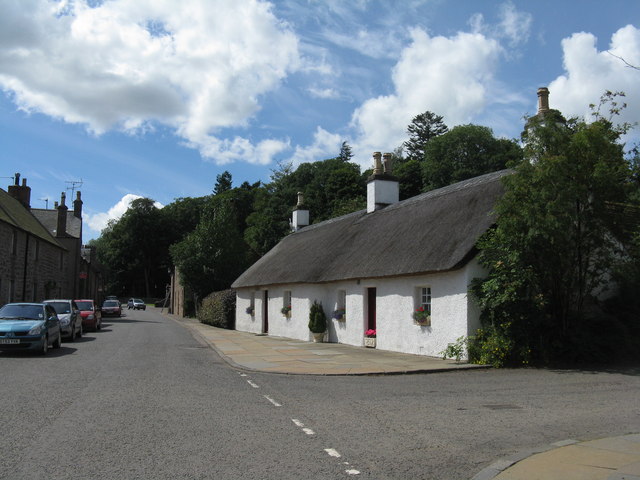
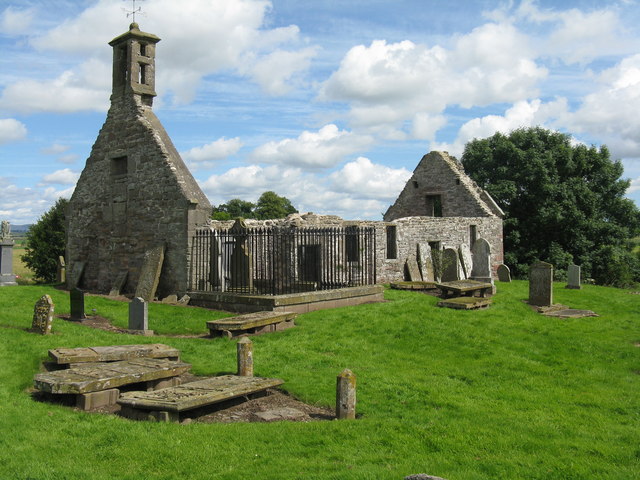
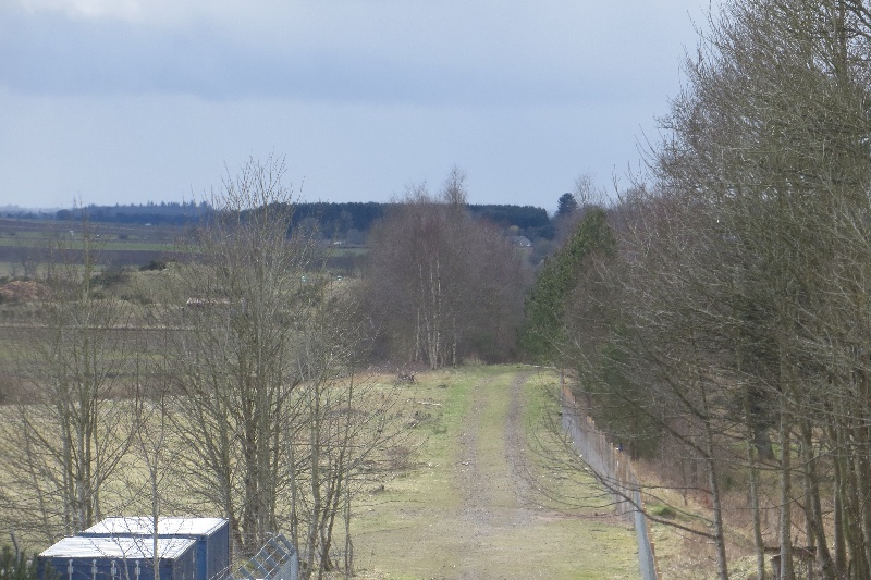
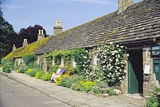
Broom Hill Images
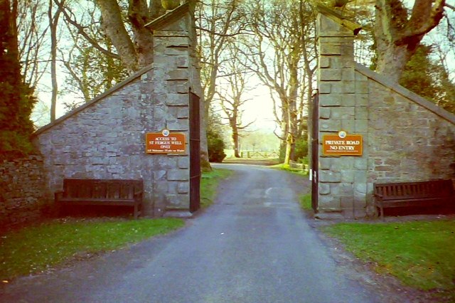
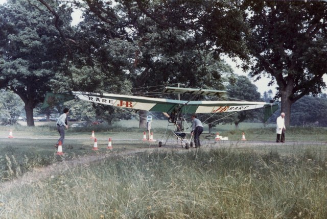
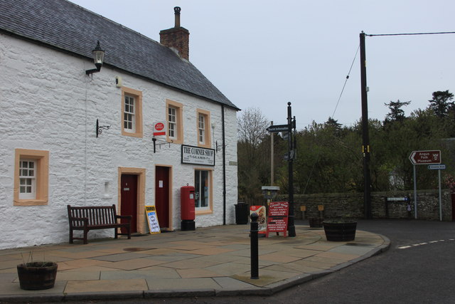
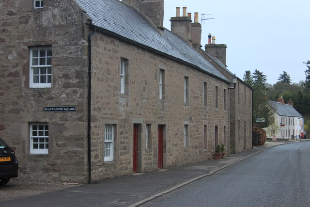
Images are sourced within 2km of 56.621112/-3.0263724 or Grid Reference NO3748. Thanks to Geograph Open Source API. All images are credited.
Broom Hill is located at Grid Ref: NO3748 (Lat: 56.621112, Lng: -3.0263724)
Unitary Authority: Angus
Police Authority: Tayside
What 3 Words
///saturate.then.shiver. Near Kirriemuir, Angus
Nearby Locations
Related Wikis
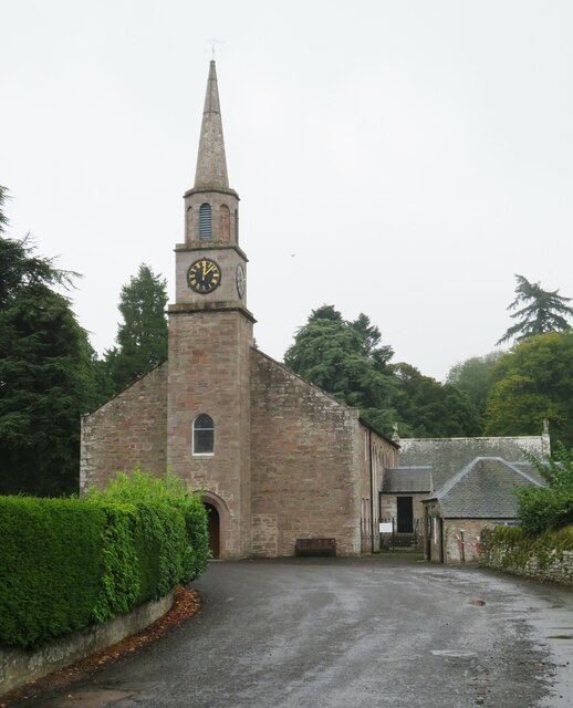
Glamis railway station
Glamis railway station served the village of Glamis, Angus, Scotland, from 1838 to 1956 on the Newtyle, Eassie and Glamiss Railway. == History == The station...

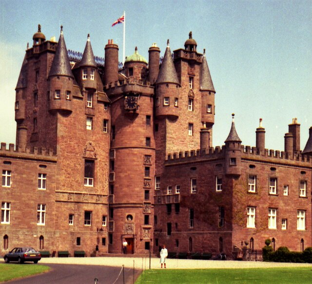
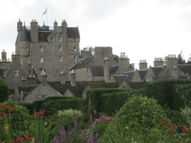
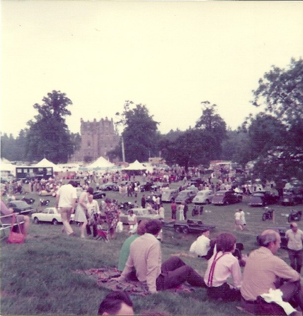
Scotland's Countryside Festival
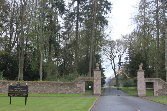
Scotland's Countryside Festival is an annual two-day event which takes place at Glamis Castle, by Forfar.The festival originally came about in the wake...
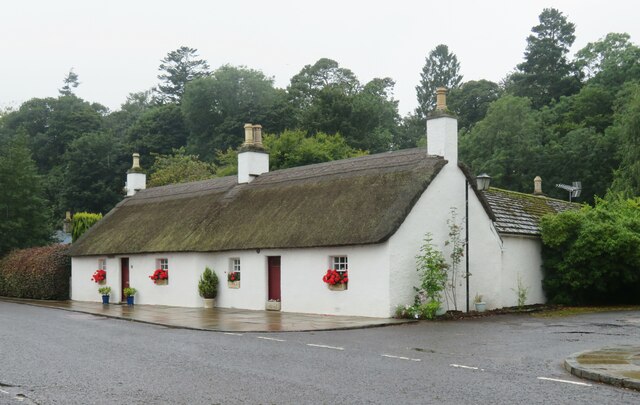
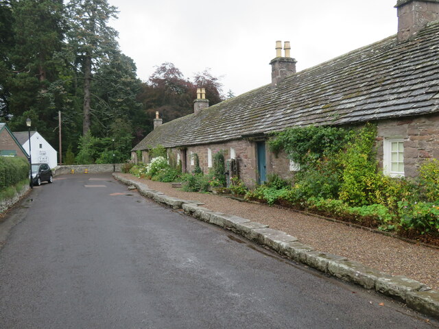
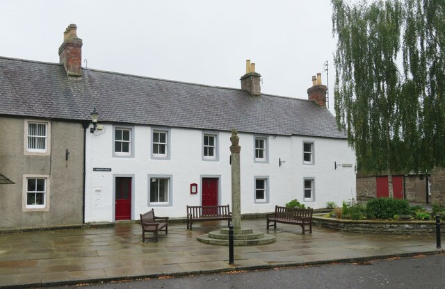
Angus Folk Museum
Angus Folk Museum was a centre for agricultural history and rural life located near Forfar, Angus. It was located in the village of Glamis off the A94...

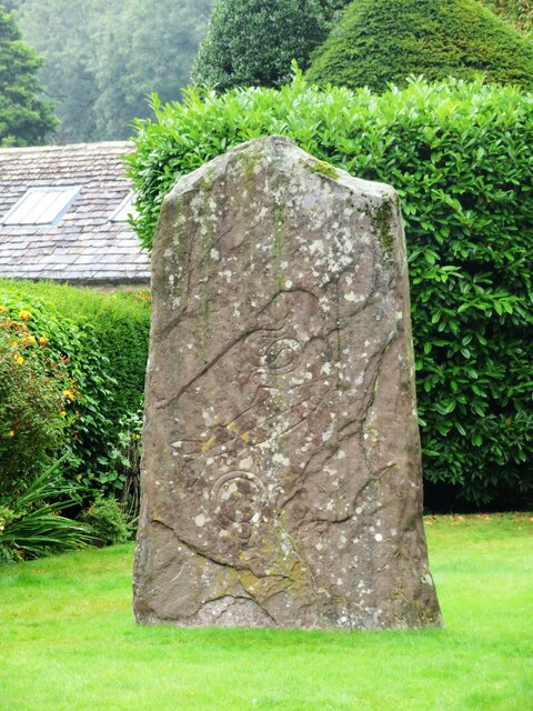
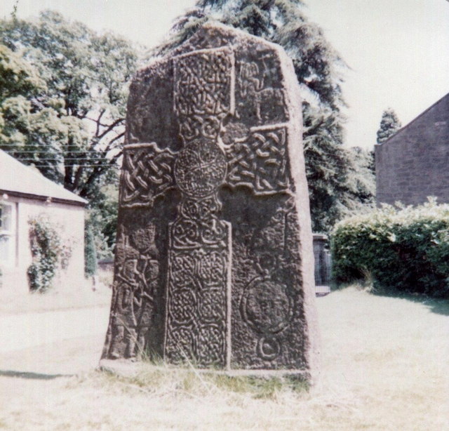
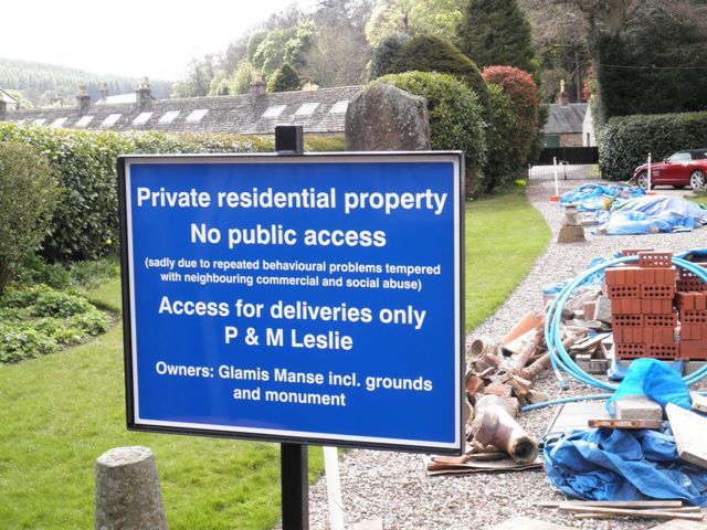
Glamis Manse Stone
The Glamis Manse Stone, also known as Glamis 2, is a Class II Pictish stone at the village of Glamis, Angus, Scotland. Dating from the 9th century, it...
Nearby Amenities
Located within 500m of 56.621112,-3.0263724Have you been to Broom Hill?
Leave your review of Broom Hill below (or comments, questions and feedback).