Carcant Hill
Hill, Mountain in Midlothian
Scotland
Carcant Hill
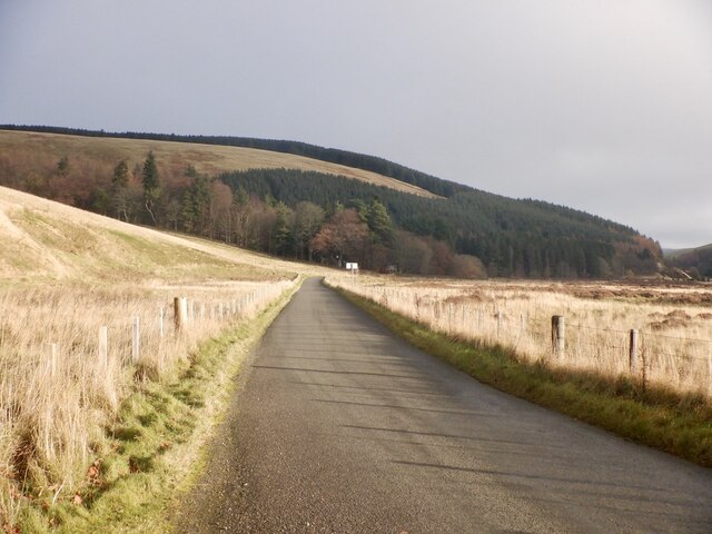
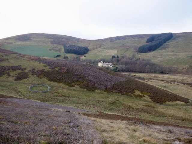
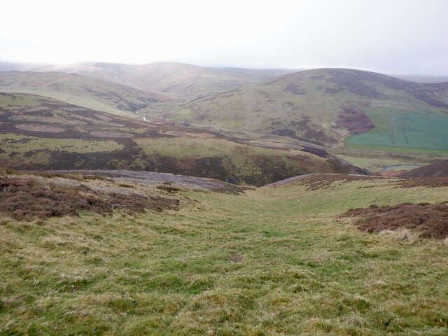
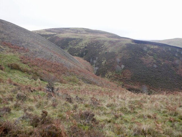
Carcant Hill is a prominent hill located in Midlothian, Scotland. It is situated approximately 15 miles southeast of Edinburgh, the country's capital city. With an elevation of 418 meters (1,371 feet), it is one of the highest points in the region, offering spectacular panoramic views of the surrounding countryside.
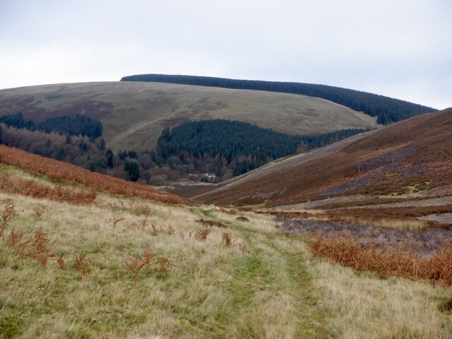
The hill is a popular destination for outdoor enthusiasts, including hikers, walkers, and nature lovers. It is part of the wider Pentland Hills Regional Park, which spans over 35 square miles and encompasses a diverse range of landscapes, from rolling hills to dense forests. Carcant Hill is often included in various hiking trails and routes within the park, attracting visitors seeking both leisurely walks and more challenging ascents.
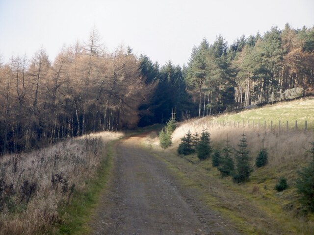
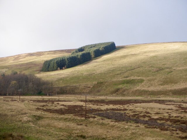
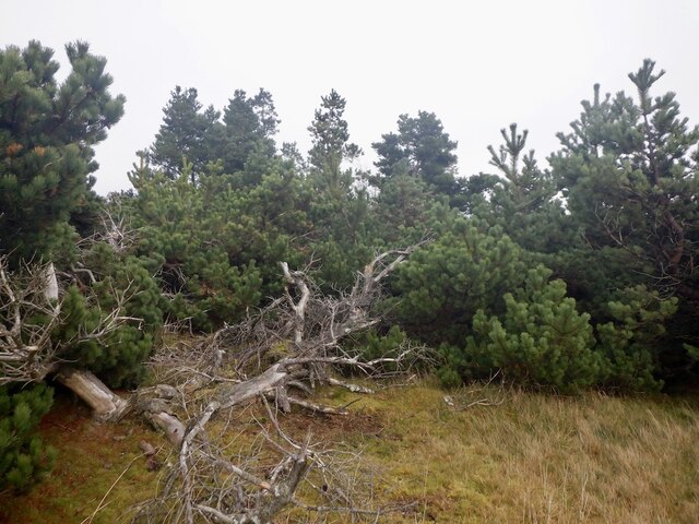
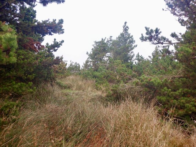
The hill's terrain is predominantly heathland, characterized by its heather-covered slopes and rocky outcrops. The presence of these natural features adds to the scenic beauty and appeal of Carcant Hill. Throughout the year, the hill's flora and fauna provide a habitat for a variety of species, including birds, small mammals, and wildflowers.
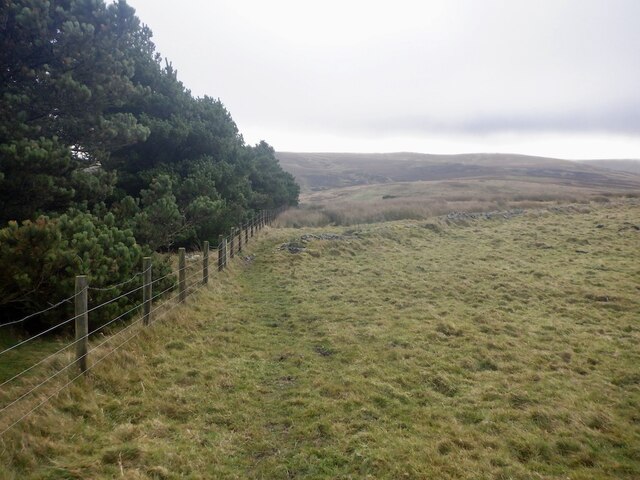
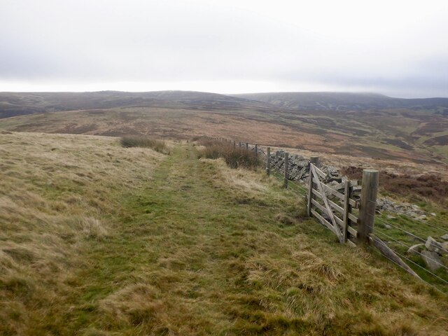
Carcant Hill's accessibility is another advantage, as it can be reached by several well-maintained paths and trails leading from nearby villages and towns. These routes offer a mix of gentle inclines and steeper sections, catering to different levels of fitness and experience.
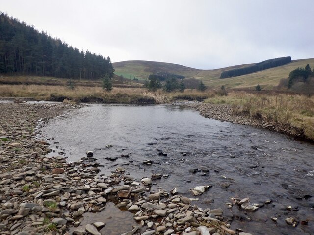
Overall, Carcant Hill is a remarkable natural landmark that showcases the picturesque landscapes of Midlothian. Its panoramic views, diverse wildlife, and accessibility make it an attractive destination for outdoor activities and an ideal spot for enjoying Scotland's natural beauty.
If you have any feedback on the listing, please let us know in the comments section below.
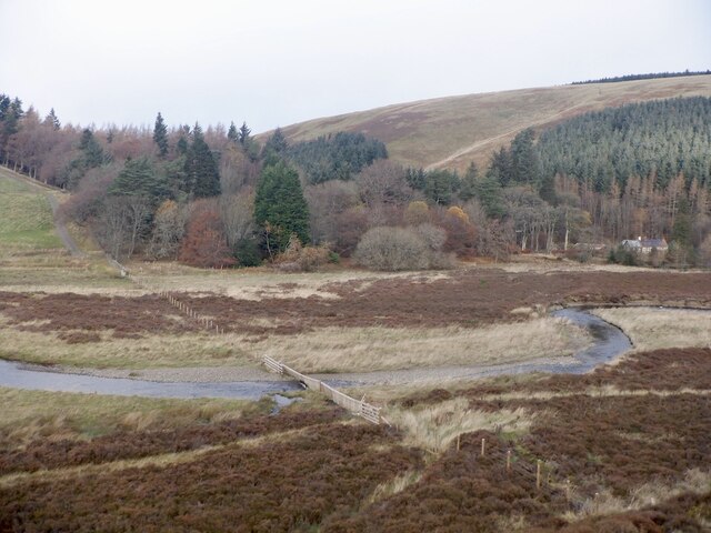
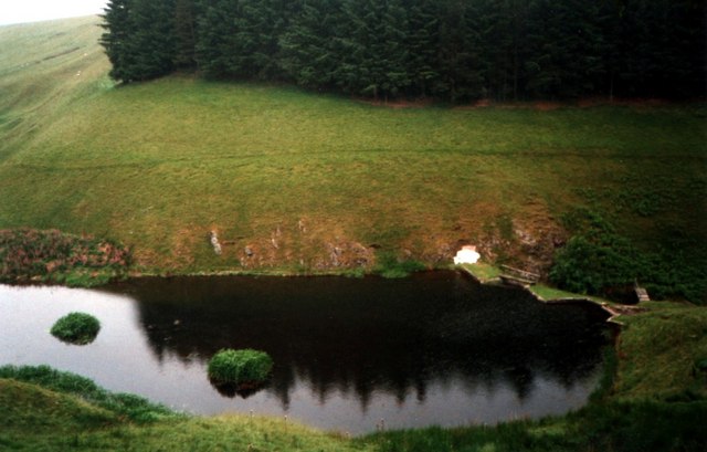
Carcant Hill Images
Images are sourced within 2km of 55.763056/-3.0038541 or Grid Reference NT3752. Thanks to Geograph Open Source API. All images are credited.

Carcant Hill is located at Grid Ref: NT3752 (Lat: 55.763056, Lng: -3.0038541)
Unitary Authority: The Scottish Borders
Police Authority: The Lothians and Scottish Borders
What 3 Words
///flocking.gracing.blanked. Near Gorebridge, Midlothian
Nearby Locations
Related Wikis

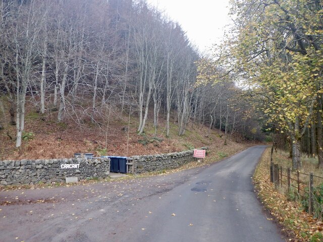
Carcant
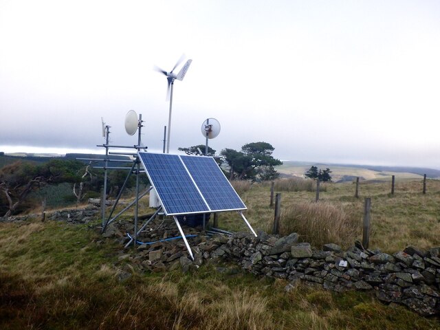
Carcant is a small settlement and a wind farm, near Heriot in the Scottish Borders area of Scotland. A famous inhabitant of Carcant was Eric Liddell....

Garvald, Scottish Borders
Garvald (Scots: Garvit) is a hamlet on the B7007, near Dewar, by the Dewar Burn, in the Moorfoot Hills, in the Scottish Borders area of Scotland, in the...

Heriot, Scottish Borders
Heriot is a small village in the Moorfoot Hills southeast of Edinburgh, Scotland, within Eildon (part of the Scottish Borders council area, though historically...

Heriot railway station
Heriot railway station served the village of Heriot, Scottish Borders, Scotland from 1848 to 1969 on the Waverley Route. == History == The station opened...

Borders Railway
The Borders Railway connects the city of Edinburgh with Galashiels and Tweedbank in the Scottish Borders. The railway follows most of the alignment of...

Falahill
Falahill is a village in the Scottish Borders, in the Moorfoot Hills, at NT387563, in the Parish of Heriot, and close to the border with Midlothian. Nearby...

Peatrig Hill
Peatrig Hill is a minor hill in Scotland, located about 15 km south-southeast of Edinburgh. One of the Moorfoot Hills, it is located in the parish of Heriot...
Dewar, Scottish Borders
Dewar is a village by the Dewar Burn and Peatrig Hill, in the Scottish Borders area of Scotland. Places nearby include Allanshaugh, Borthwick Hall, Fountainhall...
Related Videos

Local Gem - Gravel Cycling Soutra Aisle And Fala Moor
Please consider buying me a coffee: buymeacoffee.com/rrgravel Route profile: https://tinyurl.com/yumjn52e Socials: Facebook: ...

Carcant wind turbine - DJI Mini 2 test - 4k
Wind farm name: Carcant Country: United-Kingdom County / Zone: Scottish Borders (Scotland) Reserved for Premium Access ...
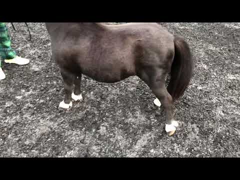
Shetland Pony - Victrix’s Honeydew
Uploaded by Harriet Bowes-Lyon.
Nearby Amenities
Located within 500m of 55.763056,-3.0038541Have you been to Carcant Hill?
Leave your review of Carcant Hill below (or comments, questions and feedback).