Knotts Hill

Hill, Mountain in Lancashire South Lakeland

England

Knotts Hill

Lane near High Cark This old lane, too narrow for modern vehicles links High Cark to Seatle.  It has fallen into disuse and on the central section the western boundary has largely been lost except for a few bushes and the bottom of the dyke.
The lane is a public footpath.
Lane near High Cark Credit: Adrian Taylor

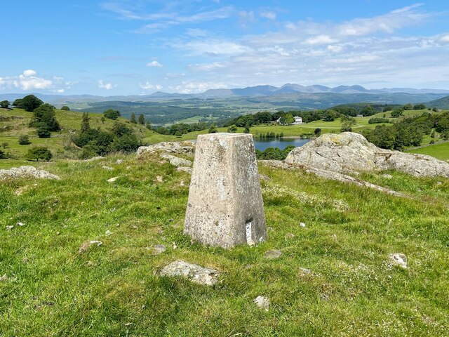
Knotts Hill is a prominent geographical feature located in the county of Lancashire, England. Situated within the Pennines, it is part of the larger range known as the Rossendale Hills. Rising to an elevation of approximately 1,200 feet (366 meters), Knotts Hill is considered a hill rather than a mountain due to its height being below the 2,000 feet (610 meters) threshold.

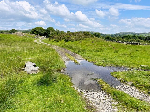
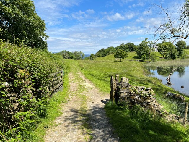
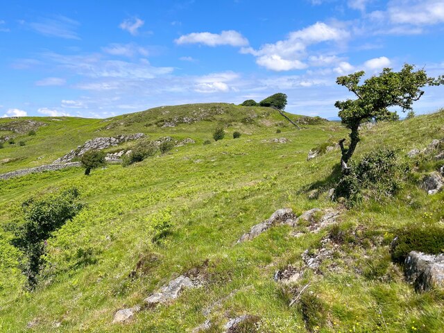
The hill is characterized by its rugged terrain, with steep slopes and rocky outcrops that offer stunning panoramic views of the surrounding countryside. Its location within the Rossendale Valley makes it a popular destination for outdoor enthusiasts, hikers, and nature lovers. The area is home to diverse flora and fauna, including heather, bilberry, and various species of birds.

Knotts Hill is easily accessible, with several footpaths and trails leading to its summit. One of the most popular routes begins at the nearby village of Waterfoot, taking visitors through picturesque landscapes and offering glimpses of historic landmarks such as the St. James Church.

The hill's rich history can be traced back to ancient times, as evidenced by the presence of prehistoric sites and burial mounds in the vicinity. In more recent centuries, Knotts Hill played a role in the local textile industry, with remnants of old quarries and mill ruins still visible today.

Overall, Knotts Hill in Lancashire is a captivating natural landmark that offers both recreational opportunities and a glimpse into the region's past. Whether exploring its trails or admiring its scenic vistas, visitors are sure to be captivated by the beauty and tranquility of this distinctive hill.

If you have any feedback on the listing, please let us know in the comments section below.
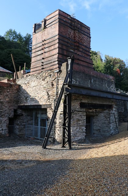
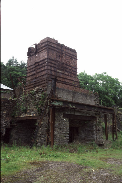
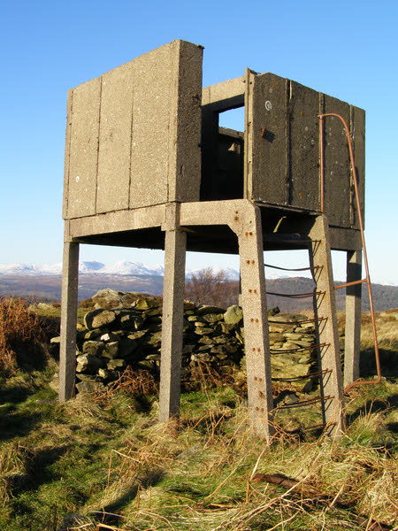
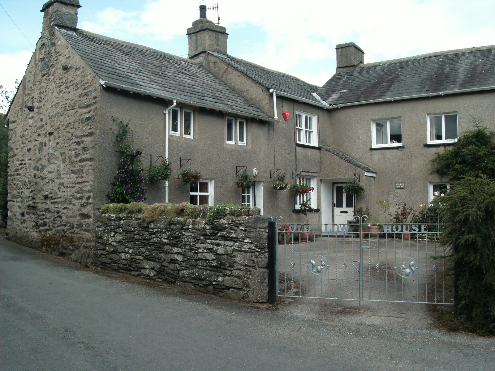
Knotts Hill Images

Images are sourced within 2km of 54.243661/-2.9663886 or Grid Reference SD3783. Thanks to Geograph Open Source API. All images are credited.

Lane near High Cark This old lane, too narrow for modern vehicles links High Cark to Seatle.  It has fallen into disuse and on the central section the western boundary has largely been lost except for a few bushes and the bottom of the dyke.
The lane is a public footpath.
Lane near High Cark
This old lane, too narrow for modern vehicles links High Cark to Seatle. It has fallen into disuse and on the central section the western boundary has largely been lost except for a few bushes and the bottom of the dyke. The lane is a public footpath.
Ford near High Cark Hall Crossed by a public bridleway, a small stone clapper bridge is provided for pedestrians.
Ford near High Cark Hall
Crossed by a public bridleway, a small stone clapper bridge is provided for pedestrians.
Gateway by Bigland Tarn The track is a public footpath from Grassgarth to Birk Dault.  Bigland House is in the right background.
Gateway by Bigland Tarn
The track is a public footpath from Grassgarth to Birk Dault. Bigland House is in the right background.
Flush Bracket Benchmark, Bigland Tarn Detail of the flush bracket benchmark on the Ordnance Survey triangulation pillar on the summit of Grassgarth Heights above Bigland Tarn (photograph <a href="https://www.geograph.org.uk/photo/7212220">SD3582 : Triangulation Pillar, Bigland Tarn</a>). The flush bracket, benchmark number S5590, is on the north east face of the pillar and marks a height of 205.236m above sea level (Ordnance Datum Newlyn), last levelled for height in 1972.
Flush Bracket Benchmark, Bigland Tarn
Detail of the flush bracket benchmark on the Ordnance Survey triangulation pillar on the summit of Grassgarth Heights above Bigland Tarn (photograph SD3582 : Triangulation Pillar, Bigland Tarn). The flush bracket, benchmark number S5590, is on the north east face of the pillar and marks a height of 205.236m above sea level (Ordnance Datum Newlyn), last levelled for height in 1972.
Triangulation Pillar, Bigland Tarn The Ordnance Survey triangulation pillar on the summit of Grassgarth Heights, with Bigland Tarn and the Coniston Fells in the background.
The pillar was constructed in 1949. The flush bracket benchmark number S5590 on the north east face of the pillar marks a height of 205.236m above sea level (Ordnance Datum Newlyn) last levelled for height in 1972 (photograph <a href="https://www.geograph.org.uk/photo/7211305">SD3582 : Flush Bracket Benchmark, Bigland Tarn</a>).
Triangulation Pillar, Bigland Tarn
The Ordnance Survey triangulation pillar on the summit of Grassgarth Heights, with Bigland Tarn and the Coniston Fells in the background. The pillar was constructed in 1949. The flush bracket benchmark number S5590 on the north east face of the pillar marks a height of 205.236m above sea level (Ordnance Datum Newlyn) last levelled for height in 1972 (photograph SD3582 : Flush Bracket Benchmark, Bigland Tarn).
Bigland Heights Rocky outcrops of Silurian Slate and windblown trees characterise this area of modest uplands.
Bigland Heights
Rocky outcrops of Silurian Slate and windblown trees characterise this area of modest uplands.
Path in High Stribers Wood The path is a public footpath from Grassgarth to Birk Dault and although well inland it is the route of the Cumbria Coastal Way, currently forming a link between sections of the England Coast Path due to difficulties in negotiating a satisfactory coastal route for the latter through land owned by Holker Estates.
Path in High Stribers Wood
The path is a public footpath from Grassgarth to Birk Dault and although well inland it is the route of the Cumbria Coastal Way, currently forming a link between sections of the England Coast Path due to difficulties in negotiating a satisfactory coastal route for the latter through land owned by Holker Estates.
Backbarrow Ironworks This is a former blast furnace site that is now a Scheduled Ancient Monument. It has been conserved and interpreted as part of the adjoining housing development. There are occasional guided tours of the site.
Backbarrow Ironworks
This is a former blast furnace site that is now a Scheduled Ancient Monument. It has been conserved and interpreted as part of the adjoining housing development. There are occasional guided tours of the site.
Backbarrow Ironworks A former ironworks. This brick structure is the top of the blast furnace that was initially charcoal fired but later switched to coke. It is a Scheduled Ancient Monument.
Backbarrow Ironworks
A former ironworks. This brick structure is the top of the blast furnace that was initially charcoal fired but later switched to coke. It is a Scheduled Ancient Monument.
Backbarrow Ironworks This is a Scheduled Ancient Monument and includes the remains of a blast furnace. The building with the green louvres contains a steam blowing engine. This was in a rough condition but is at least now protected in its building. The rusty Lancashire boiler appears to be an import to the site and has been crudely 'dumped'.
Backbarrow Ironworks
This is a Scheduled Ancient Monument and includes the remains of a blast furnace. The building with the green louvres contains a steam blowing engine. This was in a rough condition but is at least now protected in its building. The rusty Lancashire boiler appears to be an import to the site and has been crudely 'dumped'.
Backbarrow Ironworks This building is on the opposite side of the road to the blast furnace and was the raw materials store. The ironworks site has been conserved as part of a housing development.
Backbarrow Ironworks
This building is on the opposite side of the road to the blast furnace and was the raw materials store. The ironworks site has been conserved as part of a housing development.
Backbarrow Ironworks This Scheduled Ancient Monument is a former ironworks that has been conserved as part of a housing development and can now be visited as part of a guided tour. There are also interpretation boards. The building with green doors houses a steam blowing engine. The brick structure in the background is the top of the blast furnace itself.
Backbarrow Ironworks
This Scheduled Ancient Monument is a former ironworks that has been conserved as part of a housing development and can now be visited as part of a guided tour. There are also interpretation boards. The building with green doors houses a steam blowing engine. The brick structure in the background is the top of the blast furnace itself.
Backbarrow Ironworks The remains of the blast furnace. This is a Scheduled Ancient Monument.
Backbarrow Ironworks
The remains of the blast furnace. This is a Scheduled Ancient Monument.
Backbarrow Ironworks
Bigland Hall Trout Fishery
Backbarrow Ironworks A closer view of the remains of the charcoal blast furnace. A steam blowing engine is out of field to the left.
Backbarrow Ironworks
A closer view of the remains of the charcoal blast furnace. A steam blowing engine is out of field to the left.
Newby Bridge Motor Services Newby Bridge Services on A590 near the A592 Roundabout, taken on 30th December 2005
Newby Bridge Motor Services
Newby Bridge Services on A590 near the A592 Roundabout, taken on 30th December 2005
Farm Building at Hazelrigg
Show me another place!

Knotts Hill is located at Grid Ref: SD3783 (Lat: 54.243661, Lng: -2.9663886)

Administrative County: Cumbria

District: South Lakeland

Police Authority: Cumbria

What 3 Words

///boost.aquatic.candidate. Near Grange-over-Sands, Cumbria

Nearby Locations

Knotts Hill

Related Wikis

Bigland Barrow

Bigland Barrow is a hill in the English Lake District, near Backbarrow, Cumbria. It is the subject of a chapter of Wainwright's book The Outlying Fells...

Bigland Tarn

Bigland Tarn is a lake in Cumbria, England, about 3/4 mile southeast of Haverthwaite. Located at an elevation of 158 m (518 ft), the lake has an area of...

Ayside

Ayside is a hamlet on the A590 road, in the South Lakeland district, in the county of Cumbria, England. == References == Philip's Street Atlas Cumbria...

Backbarrow

Backbarrow is a village in the Lake District National Park in England. It lies on the River Leven about 5 miles (8 km) northeast of Ulverston in Furness...

Nearby Amenities

Located within 500m of 54.243661,-2.9663886
Ford: yes
Lat/Long: 54.244725/-2.9738392
Barrier: stile
Lat/Long: 54.2419571/-2.9644226
Barrier: stile
Lat/Long: 54.2422941/-2.9644873
Barrier: stile
Lat/Long: 54.2449172/-2.9637176
Barrier: stile
Lat/Long: 54.2453247/-2.9624355
Power: pole
Lat/Long: 54.2460627/-2.9639311
Power: pole
Lat/Long: 54.2471871/-2.9633773
The data included in this document is from www.openstreetmap.org. The data is made available under ODbL.

Have you been to Knotts Hill?

Leave your review of Knotts Hill below (or comments, questions and feedback).