Drumtrissel
Hill, Mountain in Fife
Scotland
Drumtrissel
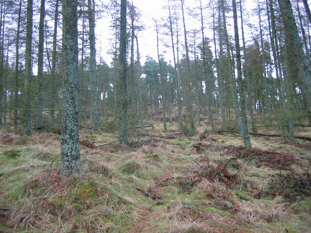
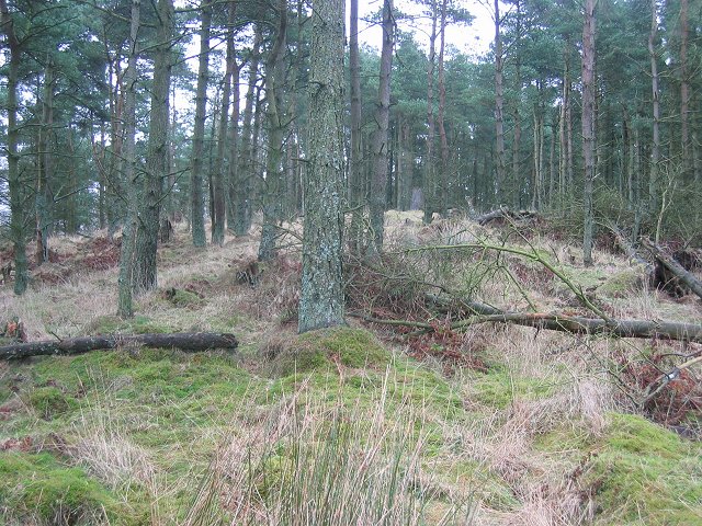
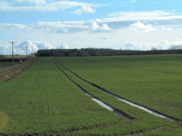
Drumtrissel is a prominent hill located in the county of Fife, Scotland. It stands at an elevation of approximately 348 meters (1,142 feet) above sea level. Situated in the picturesque countryside, Drumtrissel offers stunning panoramic views of the surrounding landscapes, making it a popular destination for hikers, nature enthusiasts, and those seeking outdoor adventures.
The hill is characterized by its gently sloping sides, covered in lush green vegetation, which adds to its natural beauty. The diverse flora and fauna found in the area make it an ideal habitat for various species of birds, mammals, and plant life.
Drumtrissel is easily accessible, thanks to a network of well-maintained trails that lead visitors to its summit. As one ascends, they will be treated to breathtaking vistas of the Fife countryside, with its rolling hills, quaint villages, and farmland. On clear days, the distant peaks of the Ochil Hills and the Lomond Hills can also be spotted.
At the top of Drumtrissel, visitors are rewarded with a panoramic view that stretches for miles, showcasing the beauty of Fife and beyond. The hilltop provides an excellent vantage point for photography, picnics, or simply taking in the peaceful atmosphere.
In conclusion, Drumtrissel is an enchanting hill in Fife, Scotland, offering visitors a chance to connect with nature and experience the awe-inspiring beauty of the Scottish countryside. Its accessibility, diverse wildlife, and breathtaking views make it a must-visit destination for outdoor enthusiasts and those seeking tranquility amidst nature.
If you have any feedback on the listing, please let us know in the comments section below.
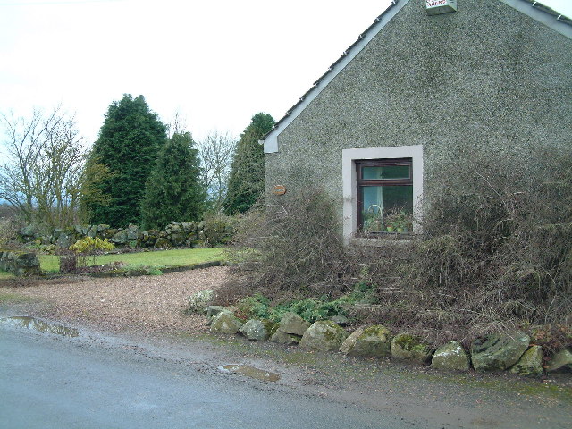
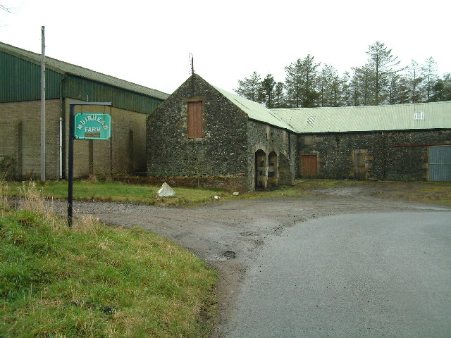
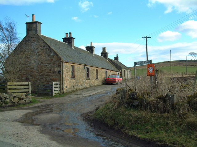
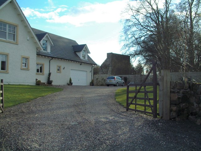
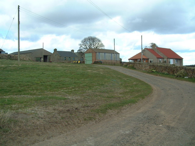
Drumtrissel Images
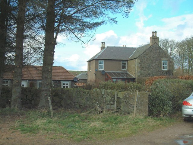
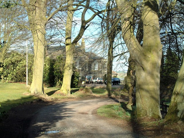
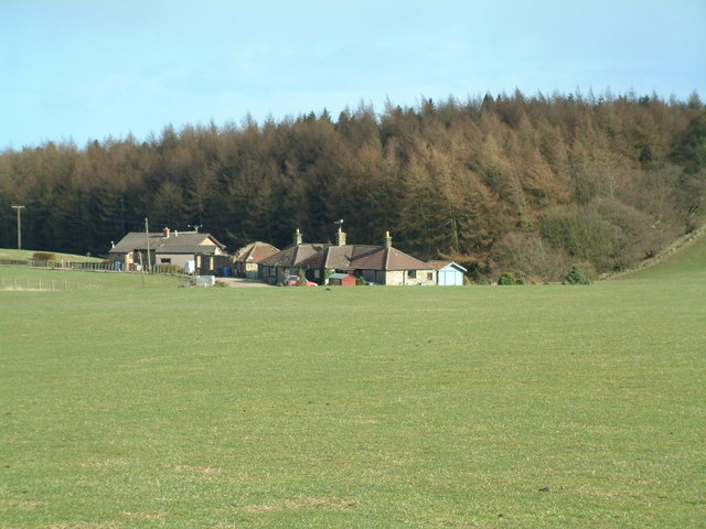
Images are sourced within 2km of 56.255031/-3.0213618 or Grid Reference NO3607. Thanks to Geograph Open Source API. All images are credited.


Drumtrissel is located at Grid Ref: NO3607 (Lat: 56.255031, Lng: -3.0213618)
Unitary Authority: Fife
Police Authority: Fife
What 3 Words
///commit.pylon.steadier. Near Kennoway, Fife
Nearby Locations
Related Wikis

Priestfield House
Priestfield House was a Victorian Country House near Cults, Fife, Scotland. == History == The estate, originally an outlying property of Crawford Priory...

St Andrews Burghs (UK Parliament constituency)
St Andrews Burghs was a district of burghs constituency, representing various burghs of Fife, Scotland, in the House of Commons of the Parliament of the...

Scotstarvit Tower
Scotstarvit Tower is a tower house in Fife, Scotland. It is situated 2 miles (3.2 km) south of Cupar, between Tarvit Hill and Walton Hill, south of the...
Bonnybank
Bonnybank is a small village in the Levenmouth area of Fife, approximately 2 miles north of Leven and situated on the main road (the A916) between Kennoway...

Pitlessie
Pitlessie is a small village in Cults, Fife, Scotland. It is roughly 4+1⁄2 miles (7 km) southwest of the nearest large town, Cupar, and 23 miles (37 kilometres...

Hill of Tarvit
The Hill of Tarvit is a 20th-century mansion house and gardens in Fife, Scotland. They were designed by Sir Robert Lorimer and are today owned by the National...
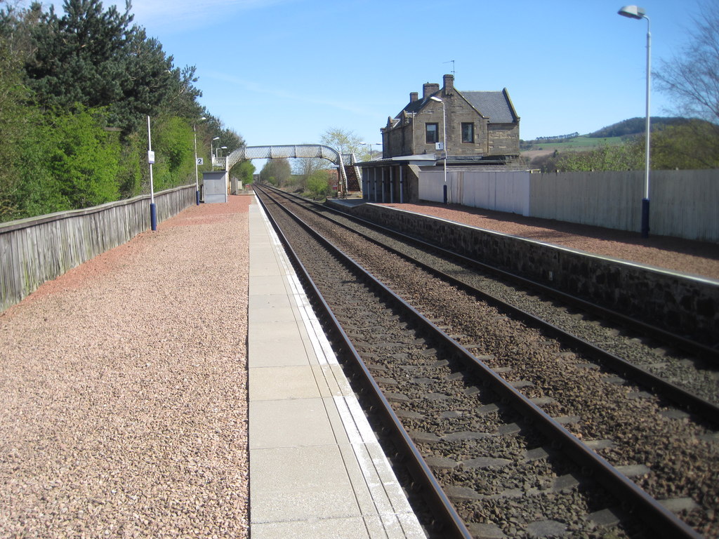
Springfield railway station (Scotland)
Springfield railway station serves the village of Springfield in Fife, Scotland. The station has two platforms and is unstaffed. Services are operated...
Balmalcolm
Balmalcolm is a small village in the Kettle parish of Fife, Scotland. Encompassed by the low-lying Howe of Fife, the village is roughly 5+1⁄2 miles (9...
Nearby Amenities
Located within 500m of 56.255031,-3.0213618Have you been to Drumtrissel?
Leave your review of Drumtrissel below (or comments, questions and feedback).