Clatto Den

Valley in Fife

Scotland

Clatto Den

Clatto Hill Open land in the 1940s, now home to mature forestry.
Clatto Hill Credit: Richard Webb

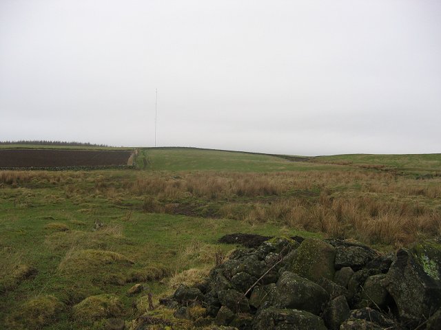
Clatto Den is a picturesque valley located in Fife, Scotland. Situated near the town of Cupar, it offers a serene and natural retreat for visitors seeking to immerse themselves in the beauty of the Scottish countryside.

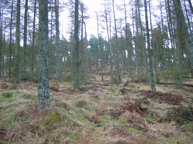
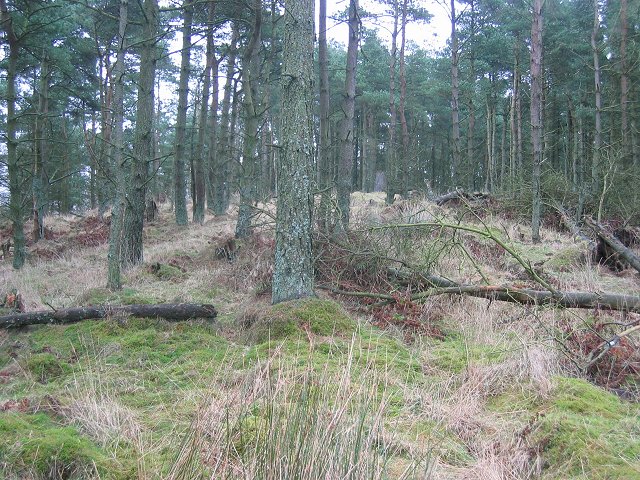
The den is formed by the Clatto Burn, a charming stream that winds its way through the valley, creating a series of cascades and small waterfalls along the way. Lush green woodland envelops the den, creating a tranquil and secluded atmosphere.

The area is a haven for wildlife enthusiasts, as it is home to a variety of flora and fauna. Visitors may spot red squirrels, roe deer, and a wide range of bird species as they explore the trails that meander through the den. The peacefulness of the den also makes it a popular spot for birdwatching and nature photography.

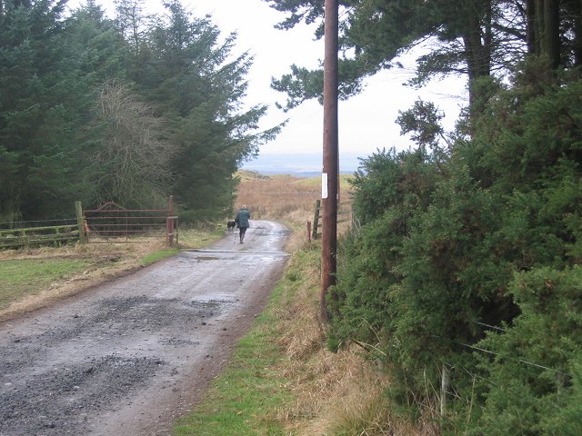
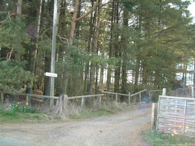
For those seeking outdoor activities, Clatto Den offers several walking trails that cater to various fitness levels. The trails vary in length and difficulty, allowing visitors to choose an adventure that suits their preferences. Along the way, there are picnic areas and benches where visitors can take a break and enjoy a packed lunch amidst the enchanting surroundings.

Clatto Den is a hidden gem in Fife, offering a serene escape from the hustle and bustle of everyday life. Whether it's a leisurely stroll through the woodlands, a picnic by the stream, or simply a moment of tranquility in nature, Clatto Den provides an idyllic setting for all who venture into its embrace.

If you have any feedback on the listing, please let us know in the comments section below.
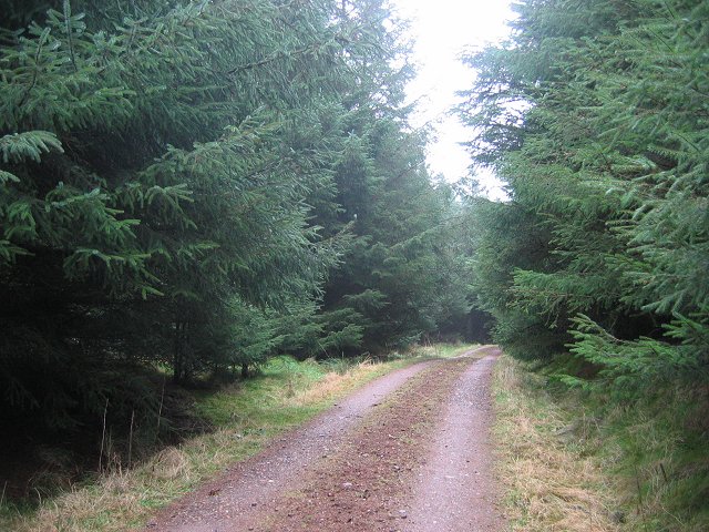
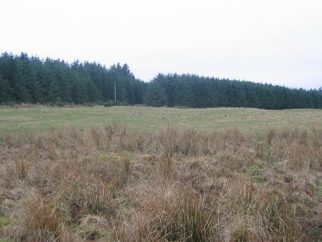
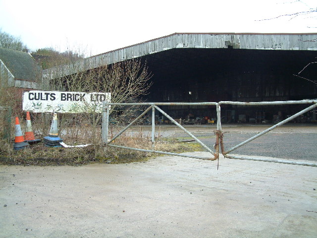
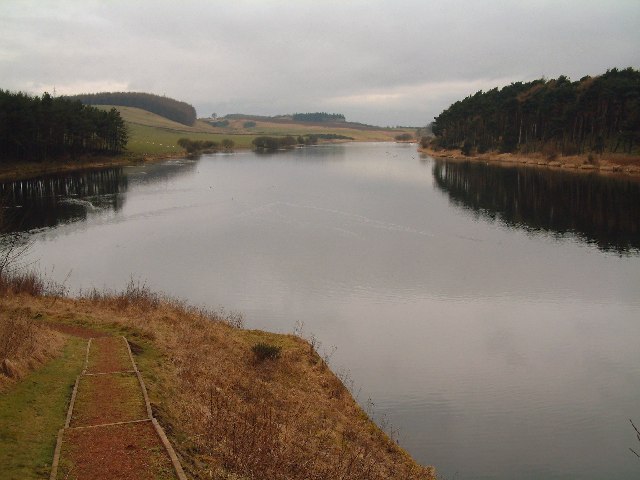
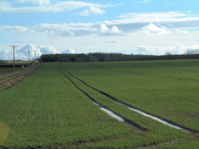
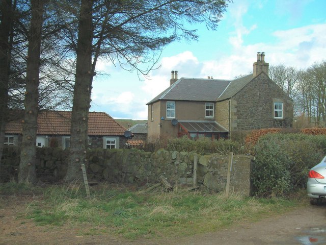
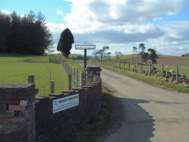
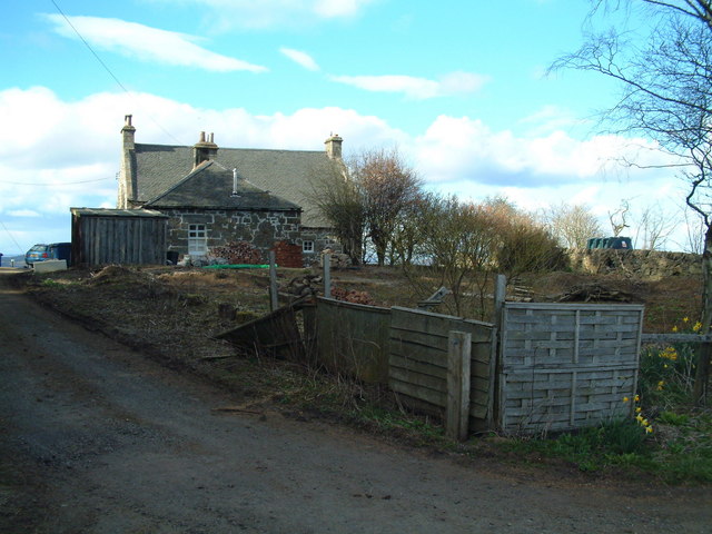
Clatto Den Images

Images are sourced within 2km of 56.253401/-3.0294046 or Grid Reference NO3607. Thanks to Geograph Open Source API. All images are credited.

Clatto Hill Open land in the 1940s, now home to mature forestry.
Clatto Hill
Open land in the 1940s, now home to mature forestry.
Clatto Hill Gap between Devon Wood and Clatto Hill plantations looking west. The dog walker was very interested in my registration plate. With good reason, loads of fly tipping going on here.
Clatto Hill
Gap between Devon Wood and Clatto Hill plantations looking west. The dog walker was very interested in my registration plate. With good reason, loads of fly tipping going on here.
Clatto Hill The summit. The trig point was marked with claw marks. Given the talk of leopards in the woods of Fife, I was relieved to see that they were the work of badgers.
Clatto Hill
The summit. The trig point was marked with claw marks. Given the talk of leopards in the woods of Fife, I was relieved to see that they were the work of badgers.
Farmland above Devon A lot of land here is wooded, but this is still farmland. Another wind prospecting mast suggests changes possible. The cairn is made of rocks cleared from the land. Looking north.
Farmland above Devon
A lot of land here is wooded, but this is still farmland. Another wind prospecting mast suggests changes possible. The cairn is made of rocks cleared from the land. Looking north.
Devon Wood Thick spruce c/o The Forestry Commission.
Devon Wood
Thick spruce c/o The Forestry Commission.
Devon Wood. Much of the square is forestry. Here for a change from a road in deep Sitka is a view of the forest edge. Looking SE. The foreground is wet farmland.
Devon Wood.
Much of the square is forestry. Here for a change from a road in deep Sitka is a view of the forest edge. Looking SE. The foreground is wet farmland.
Cults Brickworks
Cults Brickworks
Clatto Reservoir Nature reserve, seen from the east, close to the dam.
Clatto Reservoir
Nature reserve, seen from the east, close to the dam.
Paradise An isolated cottage called Paradise
Paradise
An isolated cottage called Paradise
Muirhead Farm
Muirhead Farm
Kame Bridge Road bridge crossing a small burn
Kame Bridge
Road bridge crossing a small burn
Farm cottages Workers' cottages at the entrance to Skelpie Farm road
Farm cottages
Workers' cottages at the entrance to Skelpie Farm road
New house, old doocot Montrave Home Farm is turning into a residential area but some of the original buildings, such as the doocot (dove cot) seen here, still are preserved.
New house, old doocot
Montrave Home Farm is turning into a residential area but some of the original buildings, such as the doocot (dove cot) seen here, still are preserved.
Salter's Neuk Wood Looking south from near Muirhead
Salter's Neuk Wood
Looking south from near Muirhead
Muirhead House and South Lodge
Downfield Farm Road Private road to the farm
Downfield Farm Road
Private road to the farm
Upper Bunzion A smallholding near the top of Cults Hill
Upper Bunzion
A smallholding near the top of Cults Hill
Conifer plantation Cpommercial forestry plantation beside Upper Bunzion
Conifer plantation
Cpommercial forestry plantation beside Upper Bunzion
Show me another place!

Clatto Den is located at Grid Ref: NO3607 (Lat: 56.253401, Lng: -3.0294046)

Unitary Authority: Fife

Police Authority: Fife

What 3 Words

///shadowed.garlic.sunshine. Near Kennoway, Fife

Related Wikis

Priestfield House

Priestfield House was a Victorian Country House near Cults, Fife, Scotland. == History == The estate, originally an outlying property of Crawford Priory...

St Andrews Burghs (UK Parliament constituency)

St Andrews Burghs was a district of burghs constituency, representing various burghs of Fife, Scotland, in the House of Commons of the Parliament of the...

Bonnybank

Bonnybank is a small village in the Levenmouth area of Fife, approximately 2 miles north of Leven and situated on the main road (the A916) between Kennoway...

Pitlessie

Pitlessie is a small village in Cults, Fife, Scotland. It is roughly 4+1⁄2 miles (7 km) southwest of the nearest large town, Cupar, and 23 miles (37 kilometres...

Nearby Amenities

Located within 500m of 56.253401,-3.0294046
Generator Method: wind_turbine
Generator Source: wind
Generator Type: horizontal_axis
Power: generator
Lat/Long: 56.2541732/-3.0337283
Power: pole
Lat/Long: 56.2519324/-3.0360359
Power: pole
Lat/Long: 56.2524136/-3.0369328
Power: pole
Lat/Long: 56.2514207/-3.0351806
Power: pole
Lat/Long: 56.2509018/-3.0343341
Power: pole
Lat/Long: 56.2503756/-3.0334547
Power: pole
Lat/Long: 56.2498555/-3.0326147
Power: pole
Lat/Long: 56.2493463/-3.0317704
The data included in this document is from www.openstreetmap.org. The data is made available under ODbL.

Have you been to Clatto Den?

Leave your review of Clatto Den below (or comments, questions and feedback).