Crams Hill
Hill, Mountain in Angus
Scotland
Crams Hill
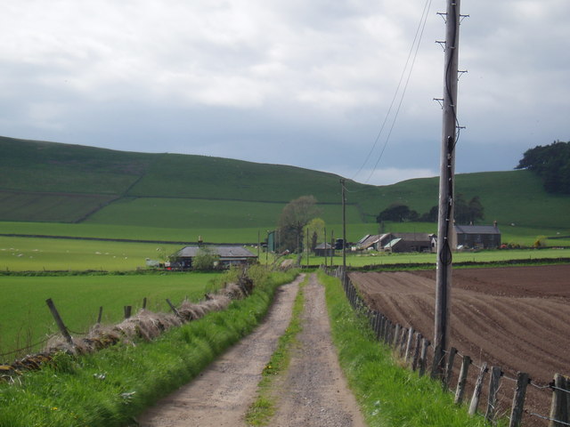
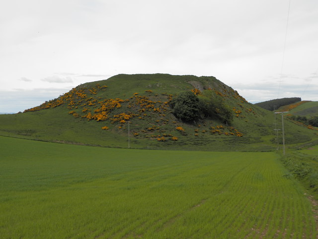
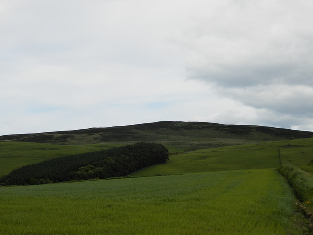
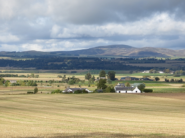
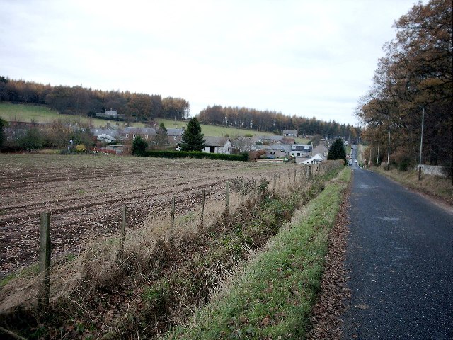
Crams Hill is a prominent hill located in the Angus region of Scotland. Situated near the town of Kirriemuir, it is part of the picturesque landscape of the Angus Glens. Standing at an elevation of approximately 438 meters (1,437 feet), Crams Hill offers stunning panoramic views of the surrounding countryside.
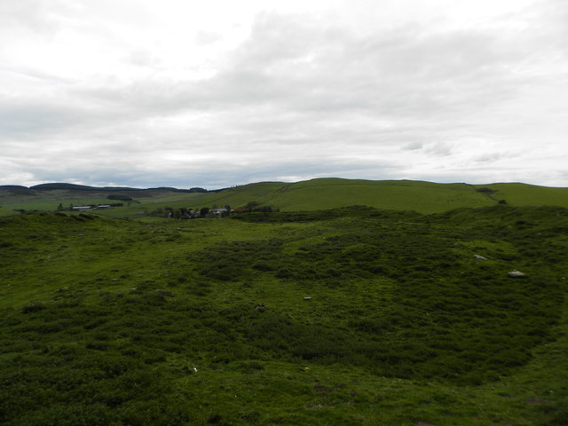
The hill is characterized by its gently sloping grassy terrain, which makes it accessible for hikers and outdoor enthusiasts of various skill levels. It is a popular destination for those seeking a peaceful retreat or a challenging walk in nature. The ascent to the summit is relatively straightforward, with a well-defined path that leads to the top.
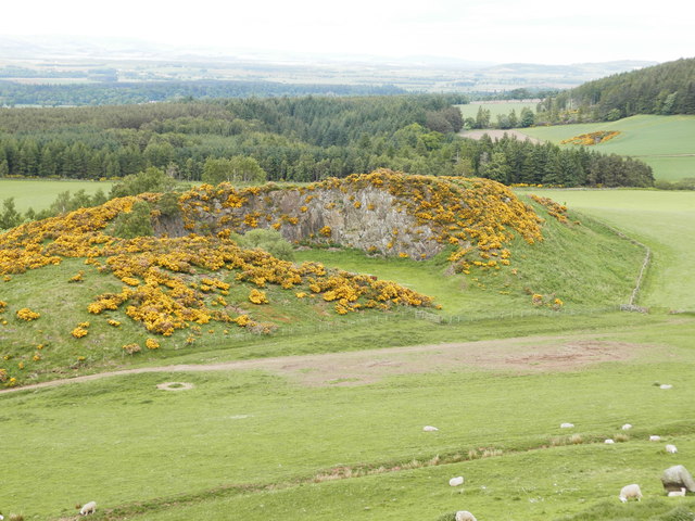
As visitors make their way to the peak, they are treated to breathtaking vistas of the Angus Glens, with rolling hills and verdant farmland stretching out as far as the eye can see. On clear days, it is even possible to catch a glimpse of the distant North Sea.
Crams Hill is also known for its diverse wildlife and flora. The hillside is home to various species of birds, including kestrels and buzzards, which can often be seen soaring above. The surrounding vegetation includes heather, bracken, and wildflowers, creating a colorful tapestry during the warmer months.
Overall, Crams Hill offers a serene and picturesque escape for nature lovers, providing an opportunity to immerse oneself in the beauty of the Angus countryside while enjoying a moderate outdoor adventure.
If you have any feedback on the listing, please let us know in the comments section below.
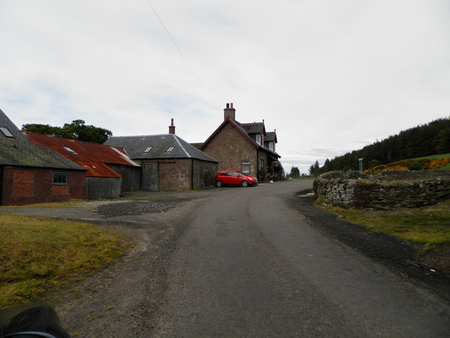
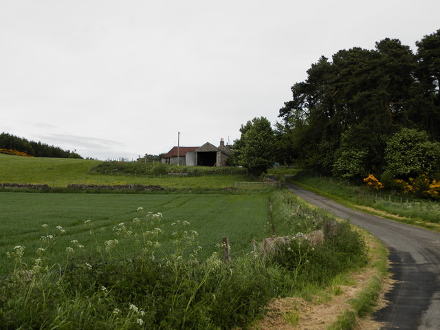
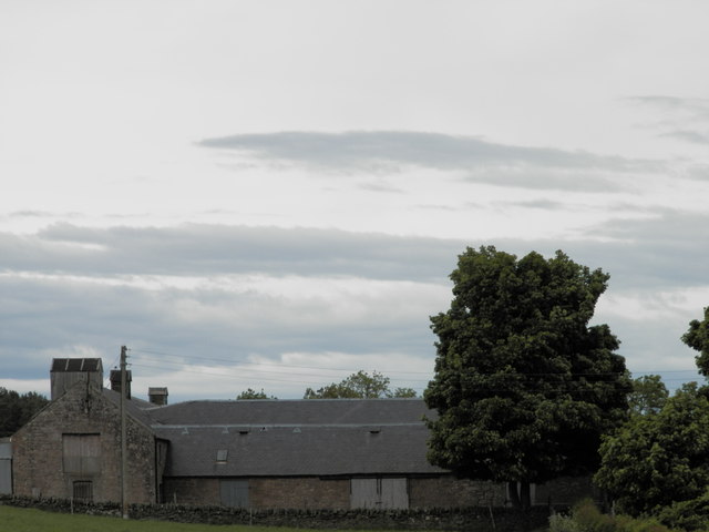
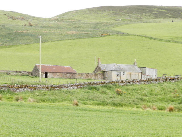
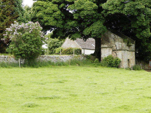
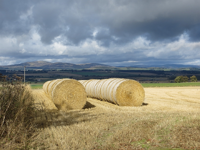
Crams Hill Images
Images are sourced within 2km of 56.593351/-3.030619 or Grid Reference NO3645. Thanks to Geograph Open Source API. All images are credited.


Crams Hill is located at Grid Ref: NO3645 (Lat: 56.593351, Lng: -3.030619)
Unitary Authority: Angus
Police Authority: Tayside
What 3 Words
///validated.parting.upset. Near Kirriemuir, Angus
Nearby Locations
Related Wikis
Charleston, Angus
Charleston is a village in Angus, Scotland near Glamis. The village of Charleston came into being in the 1830s. In 1833, the proprietor of the lands of...

Milton of Ogilvie
Milton is a hamlet in Angus, Scotland situated near Glamis. Considerable early history is in the general area including Glamis Castle and the Eassie Stone...
Glamis
Glamis is a small village in Angus, Scotland, located 5 miles (8 km) south of Kirriemuir and 5 miles (8 km) southwest of Forfar. It is the location of...
Angus Folk Museum
Angus Folk Museum was a centre for agricultural history and rural life located near Forfar, Angus. It was located in the village of Glamis off the A94...
Nearby Amenities
Located within 500m of 56.593351,-3.030619Have you been to Crams Hill?
Leave your review of Crams Hill below (or comments, questions and feedback).