Barnsley Hill
Hill, Mountain in Lancashire South Lakeland
England
Barnsley Hill
Barnsley Hill is a prominent geographical feature located in the county of Lancashire, England. Situated in the southern part of the county, it forms part of the Pennine Hills, which is renowned for its scenic landscapes and picturesque countryside. Barnsley Hill rises to an elevation of approximately 456 meters (1,496 feet), making it one of the highest points in the area.
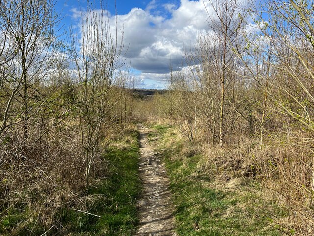
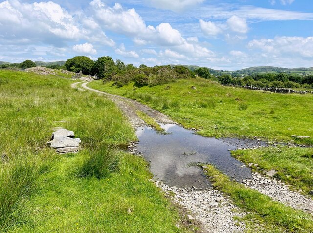
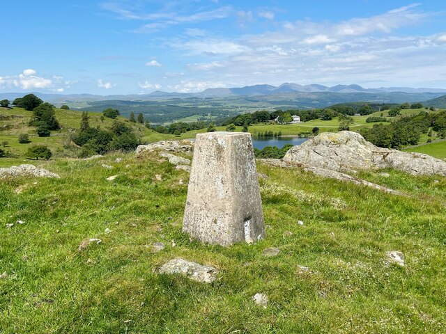
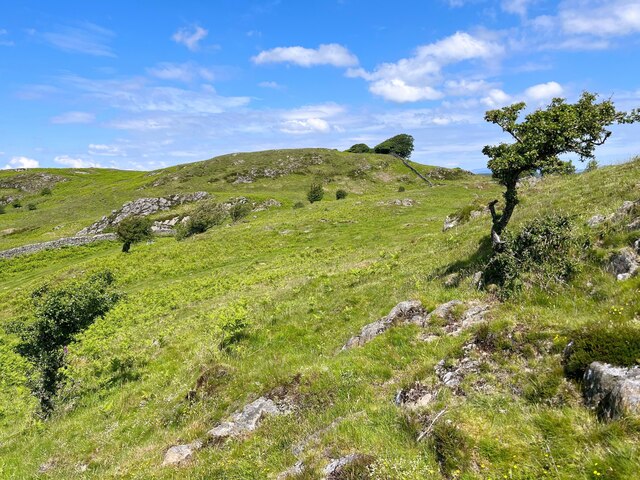
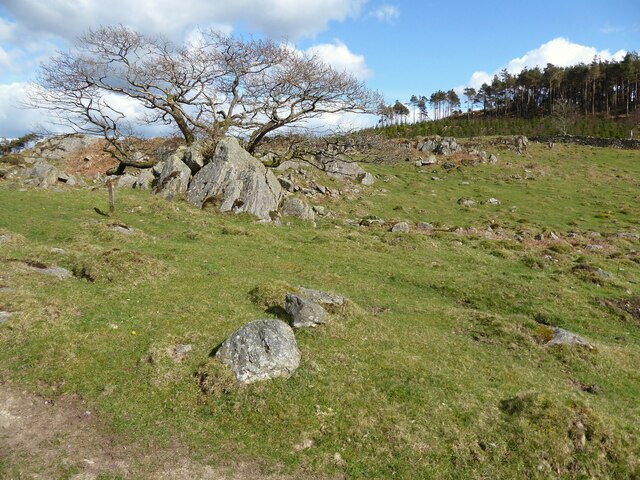
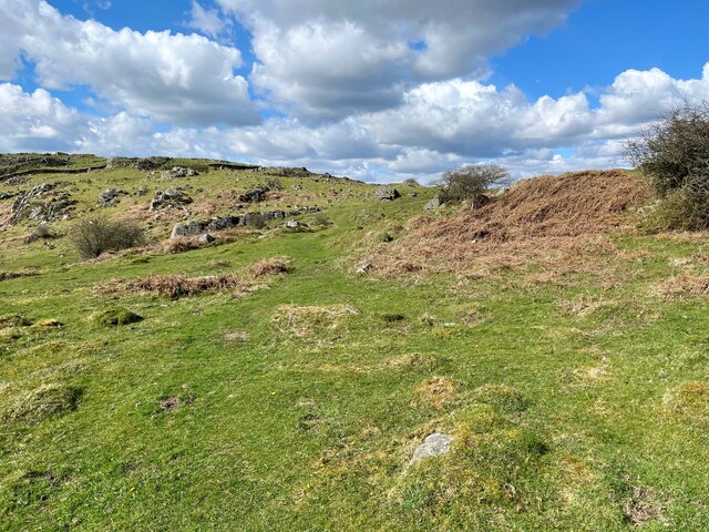
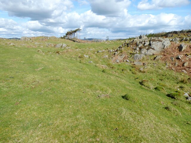
This hill is characterized by its gently sloping sides and rounded summit, offering breathtaking panoramic views of the surrounding countryside. The terrain is predominantly covered in heather and grass, with scattered patches of woodland. Barnsley Hill is also home to a variety of wildlife, including birds, insects, and small mammals, making it a popular destination for nature enthusiasts and birdwatchers.
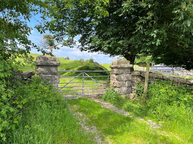
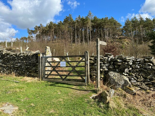
The hill is easily accessible via footpaths and trails, making it a favorite spot for hikers and walkers who enjoy exploring the outdoors. Several routes, such as the Barnsley Hill Circular Walk, offer visitors the opportunity to experience the beauty of the hill and its surrounding areas.
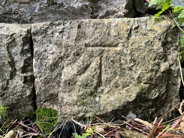
In addition to its natural beauty, Barnsley Hill holds historical significance. The hill has been inhabited for centuries, with evidence of prehistoric settlements and ancient burial mounds found in the area. It is also believed to have been used as a lookout point during times of conflict, providing strategic advantage to those who occupied it.
Overall, Barnsley Hill in Lancashire offers visitors a chance to experience the beauty of the English countryside, immerse themselves in nature, and appreciate the historical significance of this remarkable geographical feature.
If you have any feedback on the listing, please let us know in the comments section below.
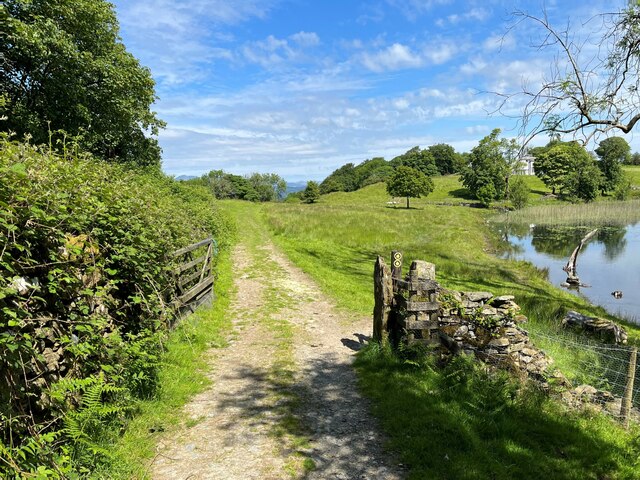
Barnsley Hill Images
Images are sourced within 2km of 54.232514/-2.9745505 or Grid Reference SD3682. Thanks to Geograph Open Source API. All images are credited.


Barnsley Hill is located at Grid Ref: SD3682 (Lat: 54.232514, Lng: -2.9745505)
Administrative County: Cumbria
District: South Lakeland
Police Authority: Cumbria
What 3 Words
///group.gives.cards. Near Grange-over-Sands, Cumbria
Nearby Locations
Related Wikis

Cartmel Peninsula
Cartmel Peninsula is a peninsula in Cumbria in England. It juts in a southerly direction into Morecambe Bay, bordered by the estuaries of the River Leven...

Bigland Tarn
Bigland Tarn is a lake in Cumbria, England, about 3/4 mile southeast of Haverthwaite. Located at an elevation of 158 m (518 ft), the lake has an area of...
Bigland Barrow
Bigland Barrow is a hill in the English Lake District, near Backbarrow, Cumbria. It is the subject of a chapter of Wainwright's book The Outlying Fells...

St Peter's Church, Field Broughton
St Peter's Church is in the village of Field Broughton, Cumbria, England. It is an active Anglican parish church in the deanery of Windermere, the archdeaconry...

Haverthwaite
Haverthwaite is a small village and civil parish in the Furness region of Cumbria, England. It is also within the boundaries of the Lake District National...
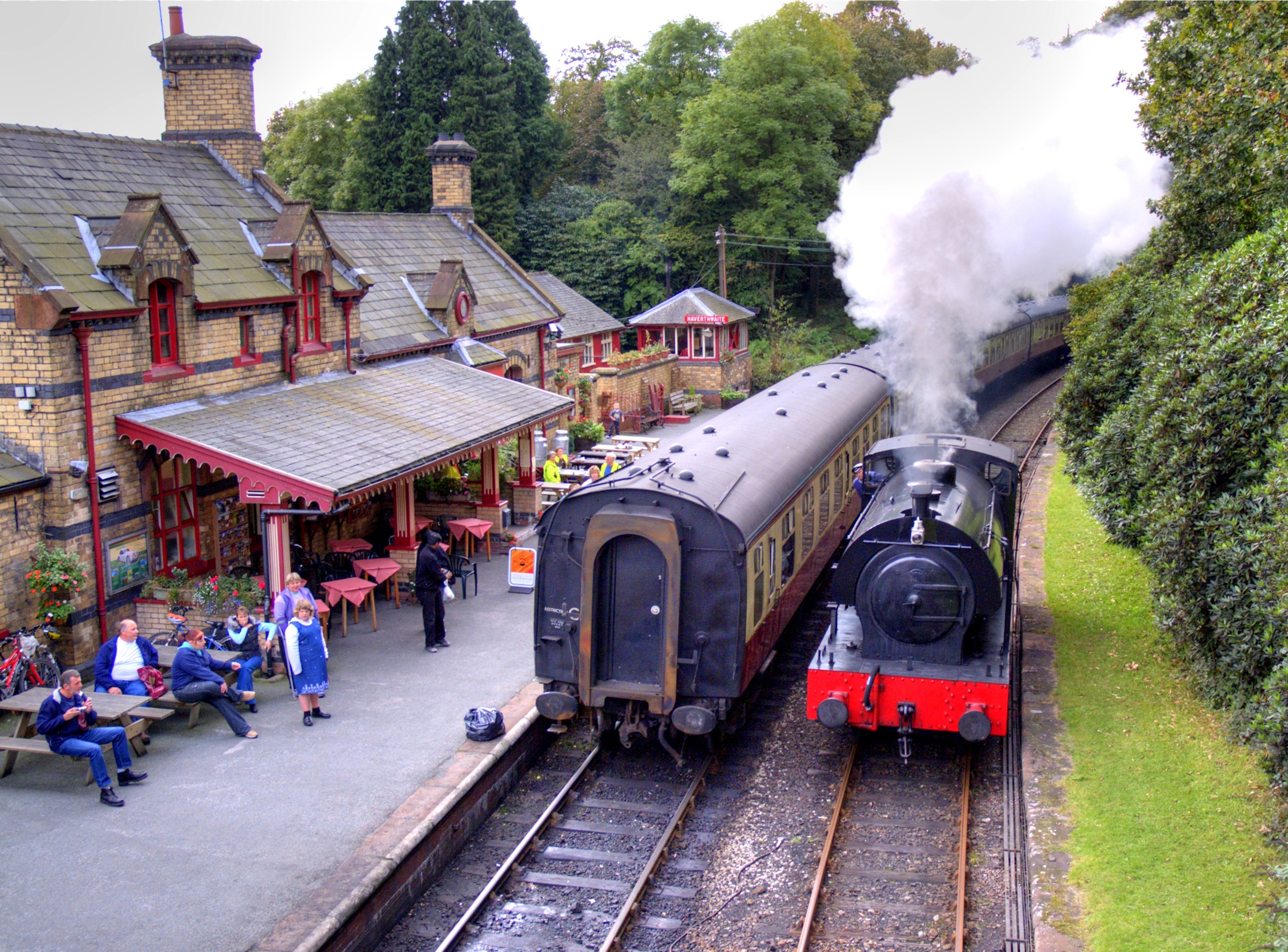
Haverthwaite railway station
Haverthwaite railway station is a railway station on the preserved Lakeside and Haverthwaite Railway in Cumbria, England. == History == The station opened...

Field Broughton
Field Broughton is a village in the South Lakeland district of the English county of Cumbria. The village forms part of the civil parish of Broughton East...

A590 road
The A590 is a trunk road in southern Cumbria, in the north-west of England. It runs north-east to south-west from M6 junction 36, through the towns of...
Nearby Amenities
Located within 500m of 54.232514,-2.9745505Have you been to Barnsley Hill?
Leave your review of Barnsley Hill below (or comments, questions and feedback).