Carlunie Hill
Hill, Mountain in Angus
Scotland
Carlunie Hill

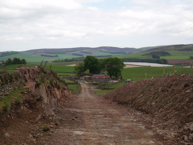
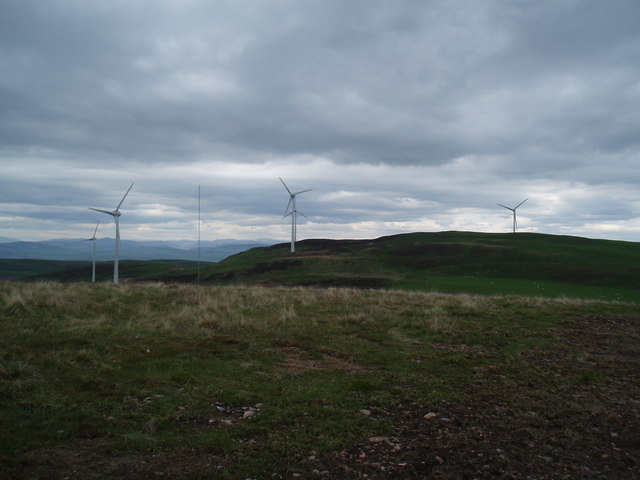
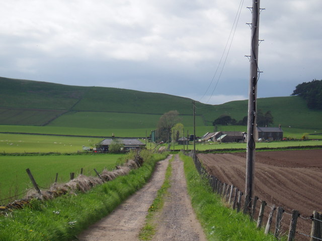
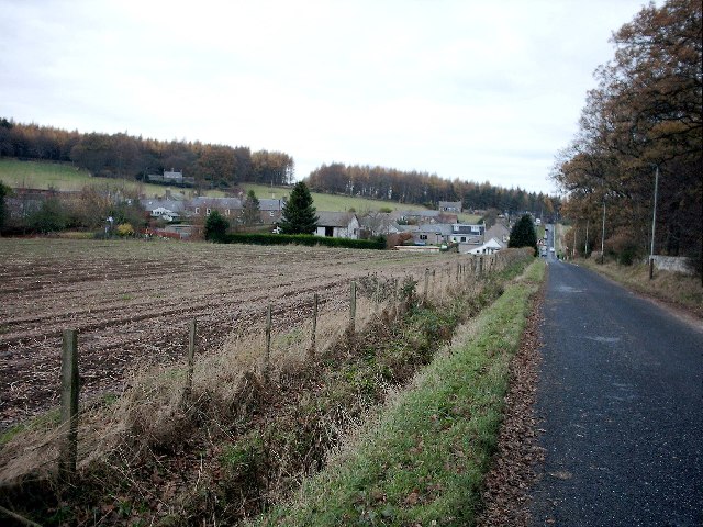
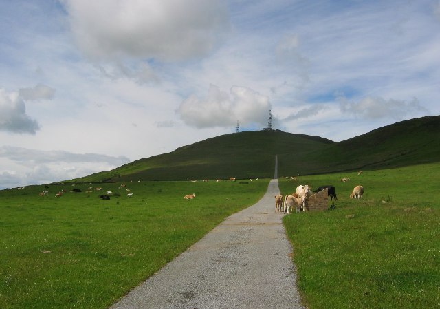
Carlunie Hill is a prominent hill located in the county of Angus, Scotland. Standing at an elevation of 476 meters (1,562 feet), it is a notable feature in the region's landscape. The hill is situated approximately 6 kilometers (3.7 miles) northwest of the town of Kirriemuir.
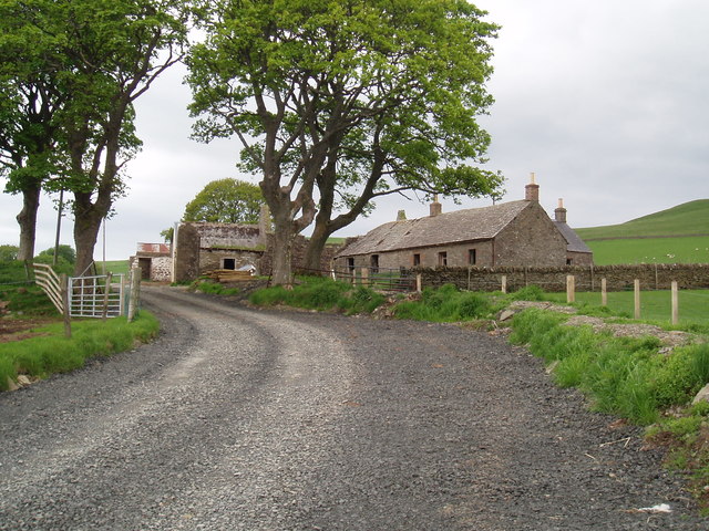
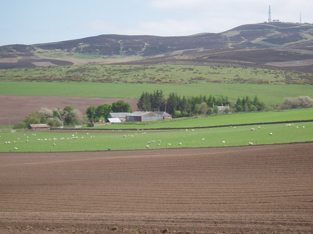
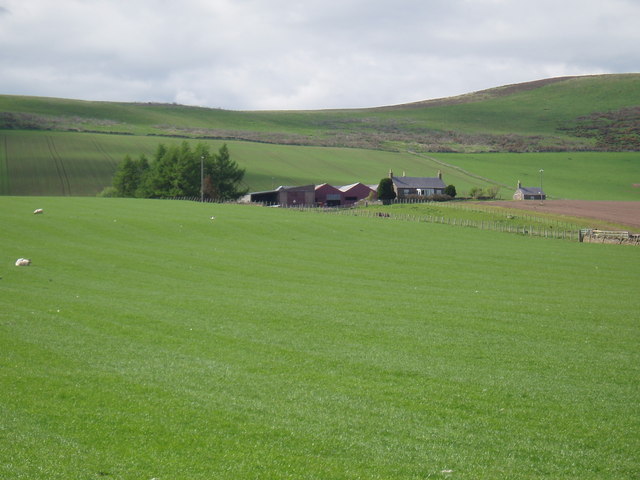
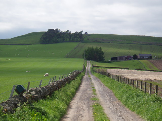
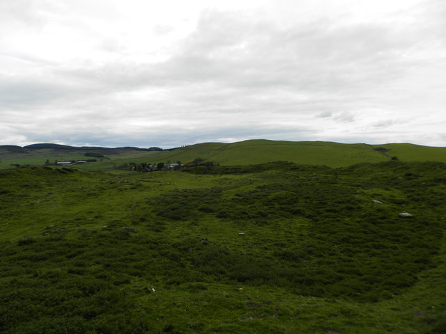
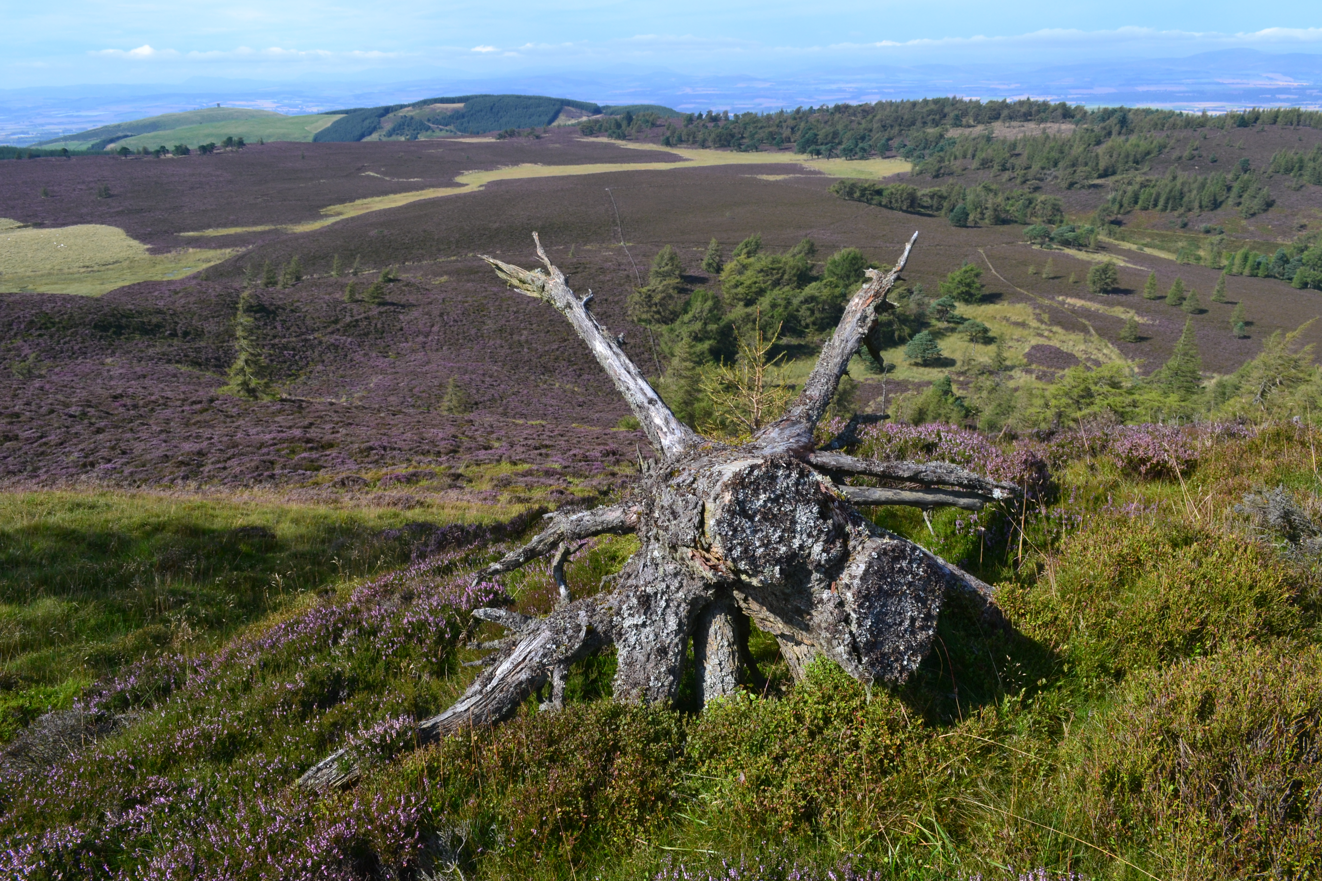
Carlunie Hill offers breathtaking panoramic views of the surrounding countryside, making it a popular destination for hikers and nature enthusiasts. Its relatively moderate gradient and well-defined paths make it accessible to both experienced walkers and casual visitors alike. The hill is also home to a variety of flora and fauna, adding to its natural charm.
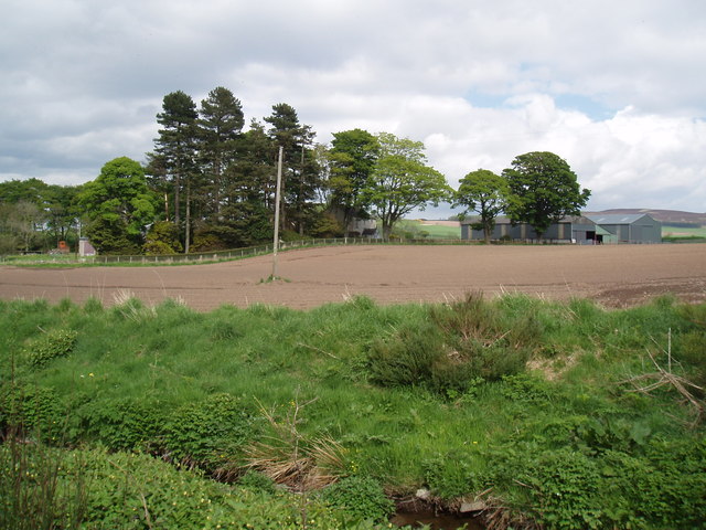
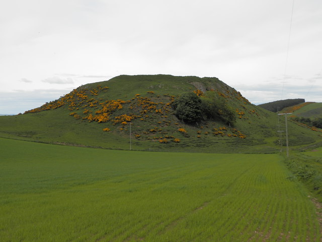
The summit of Carlunie Hill is marked by a trig point, which provides a reference point for geographical surveys. The hill is primarily composed of sedimentary rocks, which are characteristic of the Angus region. Additionally, the surrounding area features patches of heather moorland and scattered trees, contributing to the diverse ecosystem.
Due to its convenient location and picturesque landscapes, Carlunie Hill attracts visitors throughout the year. The hill offers an ideal opportunity for outdoor activities such as hillwalking, birdwatching, and photography. Its proximity to Kirriemuir ensures that amenities such as parking and accommodation are readily available for those who wish to explore this natural wonder.
If you have any feedback on the listing, please let us know in the comments section below.
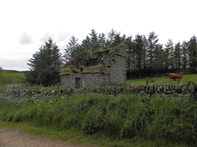
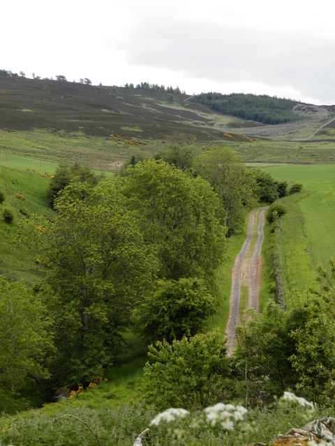
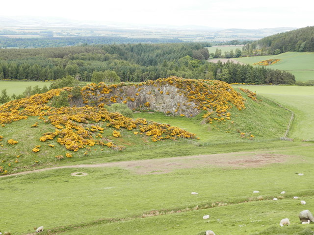
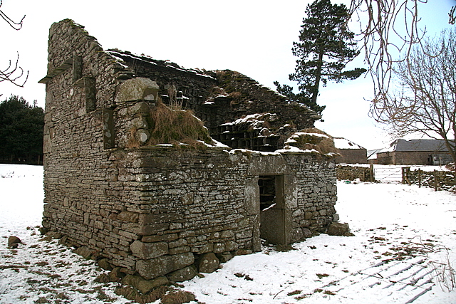
Carlunie Hill Images
Images are sourced within 2km of 56.576962/-3.034096 or Grid Reference NO3643. Thanks to Geograph Open Source API. All images are credited.


Carlunie Hill is located at Grid Ref: NO3643 (Lat: 56.576962, Lng: -3.034096)
Unitary Authority: Angus
Police Authority: Tayside
What 3 Words
///list.daydreams.flames. Near Muirhead, Angus
Nearby Locations
Related Wikis

Ark Hill
Ark Hill is a mountainous landform within the Sidlaw Hills in Angus, Scotland. This location has been proposed as a windfarm for generating renewable...

Milton of Ogilvie
Milton is a hamlet in Angus, Scotland situated near Glamis. Considerable early history is in the general area including Glamis Castle and the Eassie Stone...
Wester Denoon
Wester Denoon is a small settlement in Angus, Scotland. Approximately one mile to the north of Wester Denoon is the village of Eassie, where the Eassie...
Charleston, Angus
Charleston is a village in Angus, Scotland near Glamis.The village of Charleston came into being in the 1830s. In 1833, the proprietor of the lands of...
Gallow Hill
Gallow Hill is one of the hills of the Sidlaw range in South East Perthshire, Scotland. At 378 metres (1,240 ft). Gallow Hill is located near Newbigging...
Craigowl Hill
Craigowl Hill is a summit towards the eastern end of the Sidlaw Hills in Angus, Scotland. Northeast of Kirkton of Auchterhouse and approximately eight...

Eassie
Eassie is a village located along the A94 road in Angus, Scotland. The church in Eassie is dedicated to Saint Fergus, a monk who worked at nearby Glamis...
Auchterhouse Hill
Auchterhouse Hill is the second highest hill of the Sidlaw range in South East Angus. At 426 metres (1,398 ft), it is classified as a Tump with a relative...
Nearby Amenities
Located within 500m of 56.576962,-3.034096Have you been to Carlunie Hill?
Leave your review of Carlunie Hill below (or comments, questions and feedback).