Barnsley Allotment
Downs, Moorland in Lancashire South Lakeland
England
Barnsley Allotment
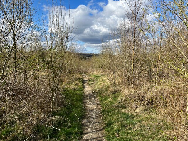
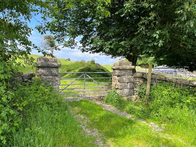
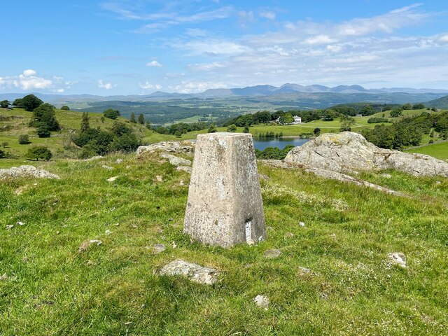
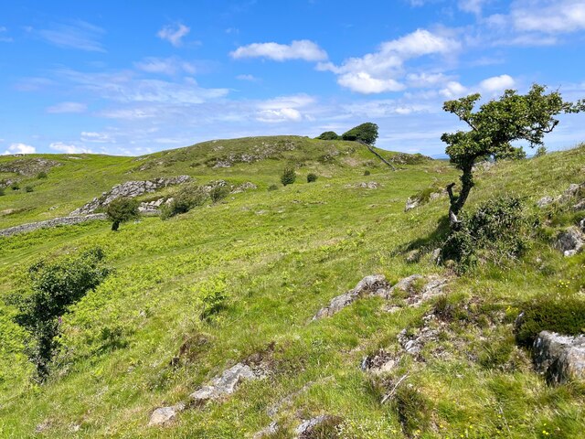
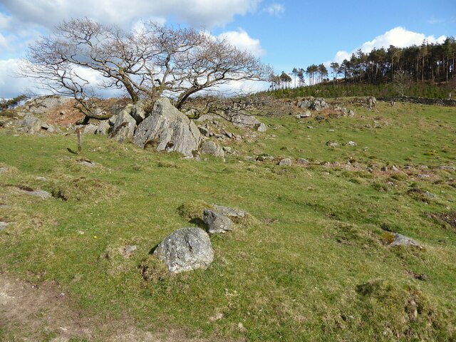
Barnsley Allotment, located in Lancashire, is a vast expanse of land encompassing both downs and moorland. It is a popular destination for nature lovers and outdoor enthusiasts, offering a variety of landscapes and habitats to explore.
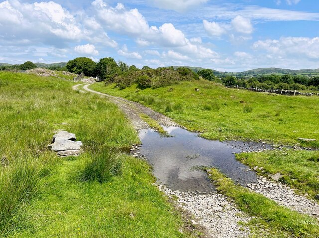
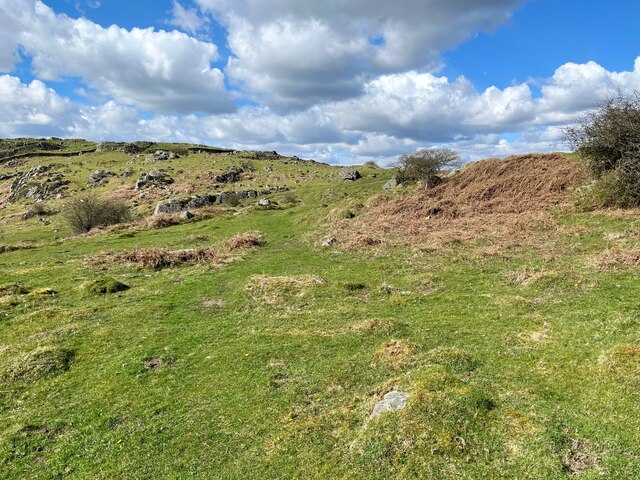
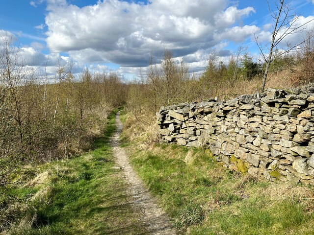
The downs section of Barnsley Allotment is characterized by its gentle slopes and open grasslands. This area is home to a wide range of plant species, including wildflowers, grasses, and shrubs. It provides ample grazing opportunities for wildlife such as rabbits and hares, which can often be spotted darting across the fields. Visitors can enjoy leisurely walks along the well-maintained footpaths that crisscross the downs, taking in the breathtaking views of the surrounding countryside.
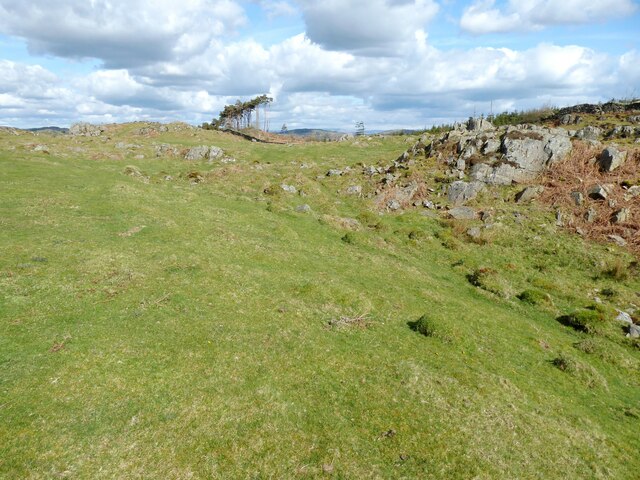
The moorland section of Barnsley Allotment offers a more rugged and dramatic landscape. Here, the terrain becomes steeper, with rocky outcrops and heather-covered hillsides dominating the scenery. The moorland is a haven for birdwatchers, as it attracts a variety of species, including kestrels, curlews, and grouse. Rare plants, such as bilberry and cotton grass, can also be found in this unique habitat.
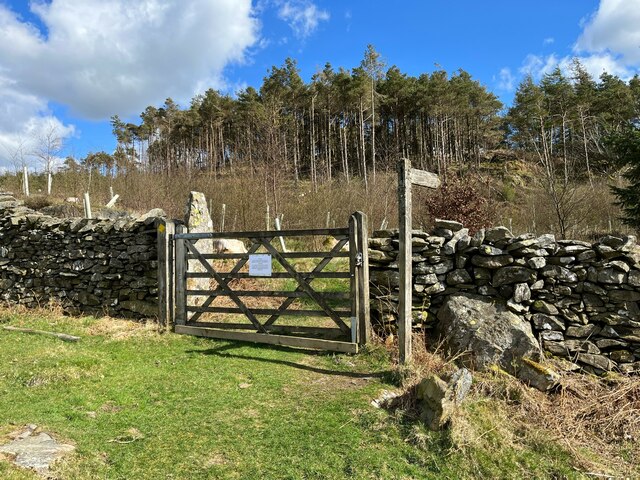
Barnsley Allotment is managed by a dedicated team of conservationists who work tirelessly to preserve and protect the natural beauty of the area. They maintain the footpaths, carry out necessary habitat management, and provide educational programs for visitors of all ages.
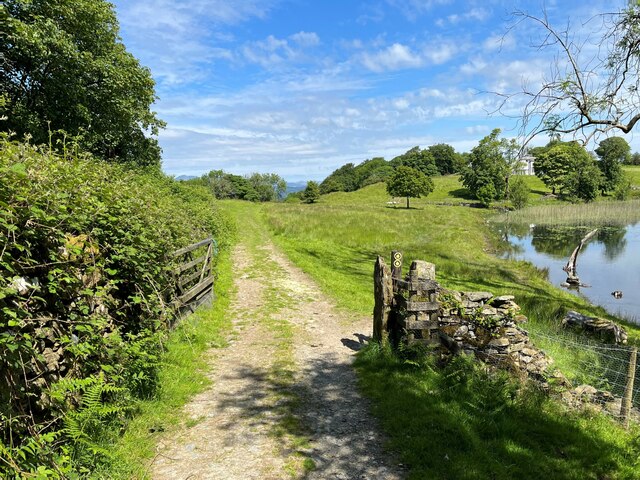
Whether you prefer the tranquility of the downs or the rugged charm of the moorland, a visit to Barnsley Allotment promises an enriching experience immersed in Lancashire's natural heritage.
If you have any feedback on the listing, please let us know in the comments section below.
Barnsley Allotment Images
Images are sourced within 2km of 54.234719/-2.9719483 or Grid Reference SD3682. Thanks to Geograph Open Source API. All images are credited.


Barnsley Allotment is located at Grid Ref: SD3682 (Lat: 54.234719, Lng: -2.9719483)
Administrative County: Cumbria
District: South Lakeland
Police Authority: Cumbria
What 3 Words
///hurls.hung.highly. Near Grange-over-Sands, Cumbria
Nearby Locations
Related Wikis

Cartmel Peninsula
Cartmel Peninsula is a peninsula in Cumbria in England. It juts in a southerly direction into Morecambe Bay, bordered by the estuaries of the River Leven...

Bigland Tarn
Bigland Tarn is a lake in Cumbria, England, about 3/4 mile southeast of Haverthwaite. Located at an elevation of 158 m (518 ft), the lake has an area of...
Bigland Barrow
Bigland Barrow is a hill in the English Lake District, near Backbarrow, Cumbria. It is the subject of a chapter of Wainwright's book The Outlying Fells...

St Peter's Church, Field Broughton
St Peter's Church is in the village of Field Broughton, Cumbria, England. It is an active Anglican parish church in the deanery of Windermere, the archdeaconry...

Haverthwaite
Haverthwaite is a small village and civil parish in the Furness region of Cumbria, England. It is also within the boundaries of the Lake District National...
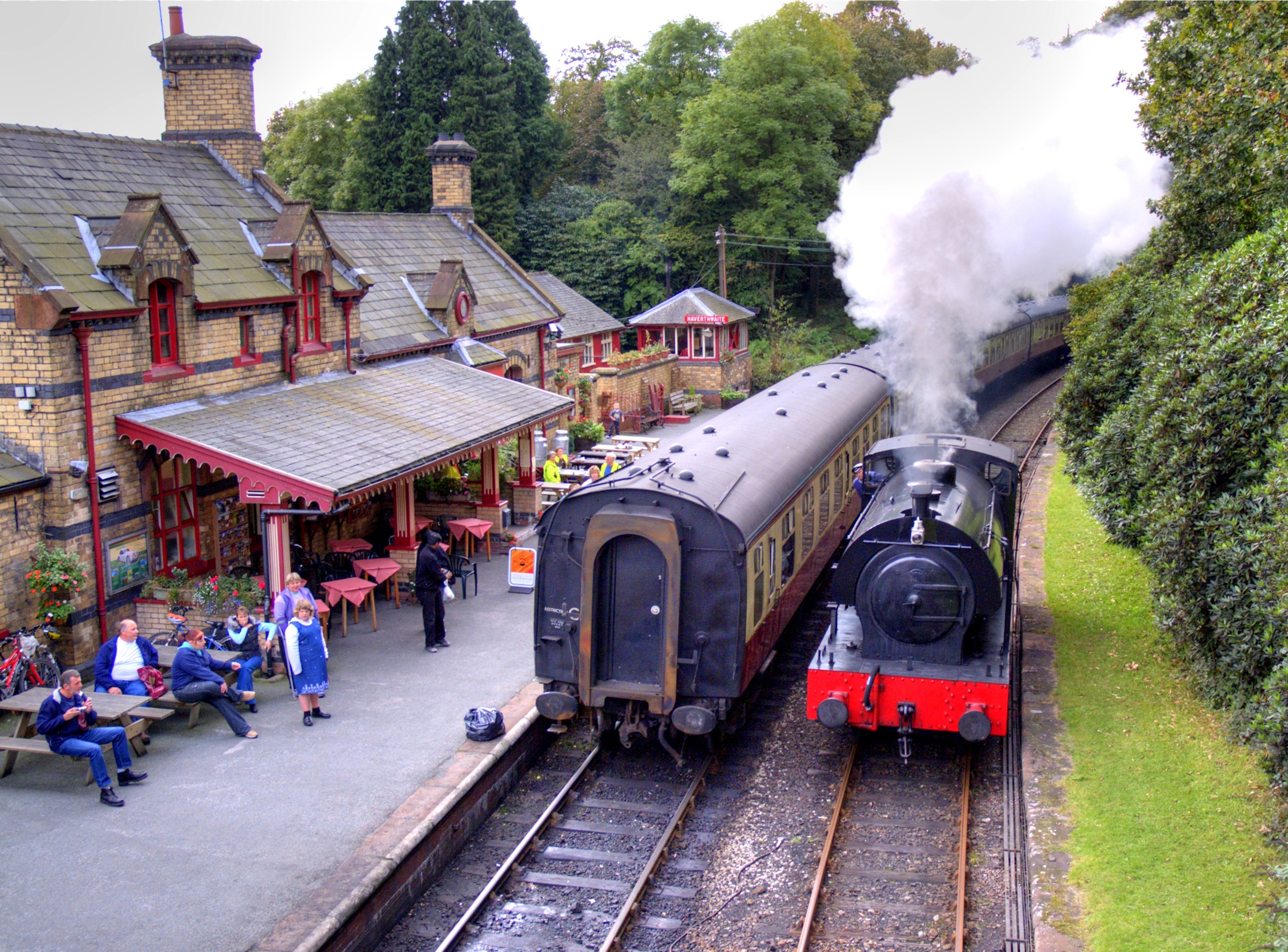
Haverthwaite railway station
Haverthwaite railway station is a railway station on the preserved Lakeside and Haverthwaite Railway in Cumbria, England. == History == The station opened...

Field Broughton
Field Broughton is a village in the South Lakeland district of the English county of Cumbria. The village forms part of the civil parish of Broughton East...

A590 road
The A590 is a trunk road in southern Cumbria, in the north-west of England. It runs north-east to south-west from M6 junction 36, through the towns of...
Nearby Amenities
Located within 500m of 54.234719,-2.9719483Have you been to Barnsley Allotment?
Leave your review of Barnsley Allotment below (or comments, questions and feedback).