Black Brows
Hill, Mountain in Lancashire South Lakeland
England
Black Brows

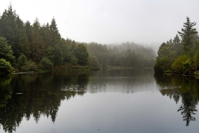
Black Brows is a prominent hill located in Lancashire, England. Rising to an elevation of approximately 1,297 feet (395 meters), it is often referred to as Black Brow Fell or Black Brow Hill. Situated in the southern part of the county, it lies within the Forest of Bowland, an Area of Outstanding Natural Beauty.
The hill is characterized by its distinctive black peat-covered summit, which gives it its name. It offers breathtaking panoramic views of the surrounding countryside, including the River Hodder valley to the east and the Ribble Valley to the west. On clear days, one can even catch glimpses of the distant Lake District fells.
Black Brows is a popular destination for outdoor enthusiasts, particularly hikers and walkers, who are drawn to its challenging but rewarding trails. The ascent to the summit can be steep and challenging, but the effort is rewarded with stunning vistas and a sense of accomplishment. The hill is also home to various species of wildlife, including birds such as curlews, lapwings, and red grouse.
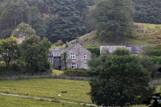
While Black Brows is not considered a mountain by traditional standards, it offers mountain-like features, making it a favorite spot for those seeking a taste of rugged terrain without venturing too far. Its proximity to nearby towns and villages, such as Slaidburn and Dunsop Bridge, makes it easily accessible for day trips or longer hikes.
Overall, Black Brows in Lancashire is a picturesque hill that combines natural beauty, challenging trails, and scenic views, making it a must-visit destination for nature lovers and outdoor enthusiasts alike.
If you have any feedback on the listing, please let us know in the comments section below.
Black Brows Images
Images are sourced within 2km of 54.325129/-2.9815673 or Grid Reference SD3692. Thanks to Geograph Open Source API. All images are credited.


Black Brows is located at Grid Ref: SD3692 (Lat: 54.325129, Lng: -2.9815673)
Administrative County: Cumbria
District: South Lakeland
Police Authority: Cumbria
What 3 Words
///icons.dressings.spots. Near Windermere, Cumbria
Nearby Locations
Related Wikis
Graythwaite Hall
Graythwaite Hall, in Ulverston, Cumbria in the Lake District of England is the home of the Sandys family. One of the more famous members of the family...

Cunsey Beck
Cunsey Beck is one of several rivers and streams that replenish the lake of Windermere in the English Lake District. Being just over two miles (3.2 km...

Satterthwaite
Satterthwaite is a small village (and civil parish) with around 50 dwellings situated in Grizedale, a valley in the Lake District, England, about four...

Satterthwaite & Rusland School
Satterthwaite & Rusland School was a Church of England Primary school near Force Forge in the Rusland Valley. The school was established in 1840 for children...

Esthwaite Water
Esthwaite Water is one of the smaller and lesser known lakes in the Lake District National Park in northern England. It is situated between the much larger...

Moor Crag
Moor Crag (sometimes Moorcrag) is a Grade I listed house near Bowness-on-Windermere in South Lakeland, Cumbria, England, overlooking Windermere. It lies...

Hill Top, Cumbria
Hill Top is a 17th-century house in Near Sawrey near Hawkshead, in the English county of Cumbria. It is an example of Lakeland vernacular architecture...

Grizedale Hall
Grizedale Hall was a large country house at Grizedale, Hawkshead, in the Lake District in Cumbria, England. After two earlier Grizedale Halls had preceded...
Nearby Amenities
Located within 500m of 54.325129,-2.9815673Have you been to Black Brows?
Leave your review of Black Brows below (or comments, questions and feedback).