Ark Hill

Hill, Mountain in Angus

Scotland

Ark Hill

Deer Fence with path across Boggy Seat New fence with viable path alongside across Boggy Seat (named on 1:25000 OS map). A useful route east from Henderston Hill. Path continues east into small col visible on other side of Boggy Seat.
Deer Fence with path across Boggy Seat Credit: AllanKnaik

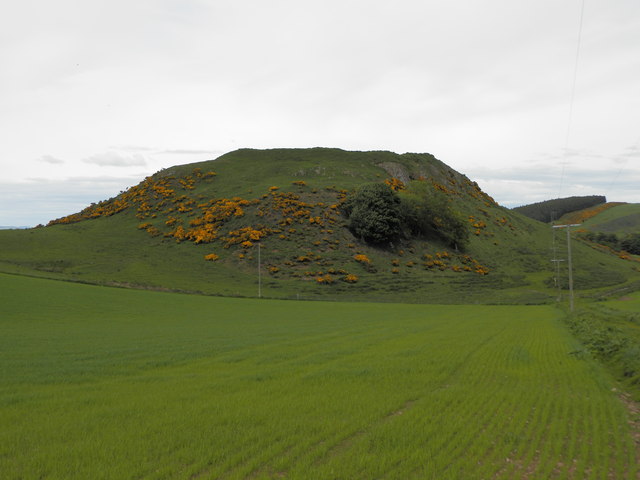
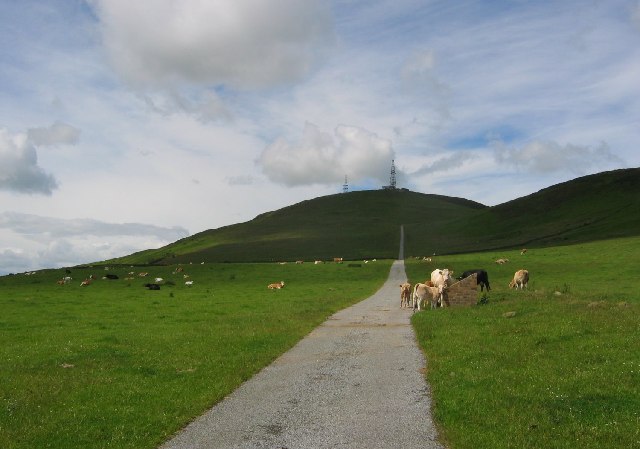
Ark Hill is a prominent geographical feature located in the county of Angus, Scotland. As its name suggests, it is a hill or mountain that stands proudly in the landscape, offering breathtaking views and a diverse range of natural features.

Rising to an elevation of approximately 1,214 feet (370 meters), Ark Hill stands as one of the highest points in the region. Its distinctive shape and rugged terrain make it a popular destination for hikers, climbers, and outdoor enthusiasts seeking a challenging and rewarding experience.

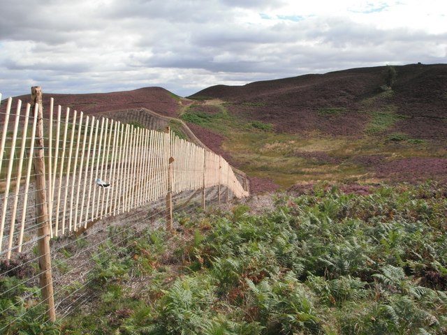
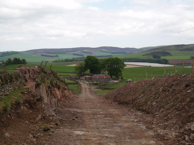
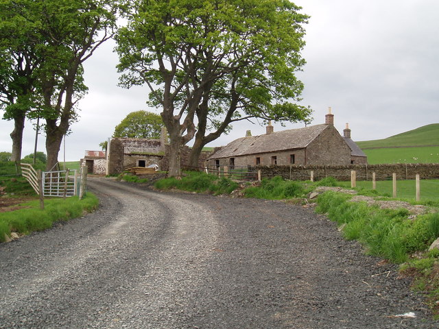
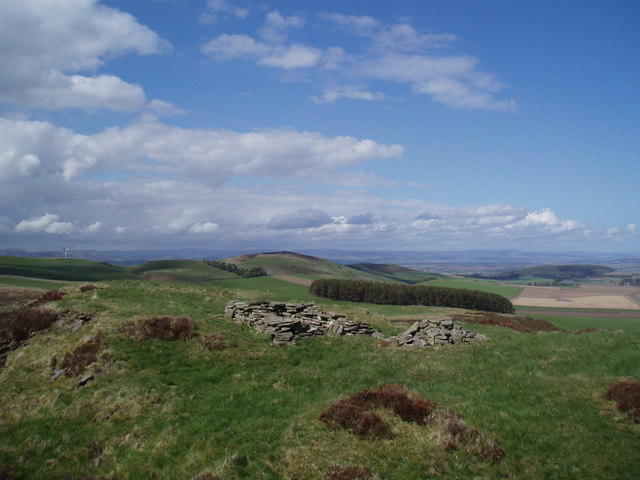
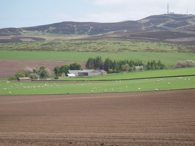
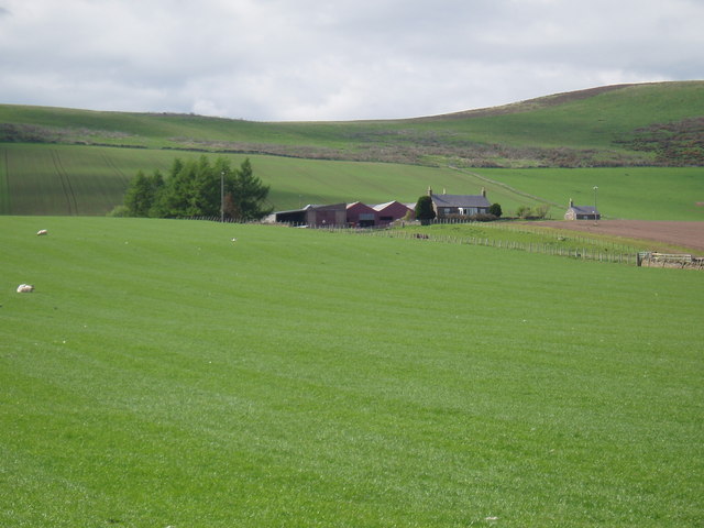
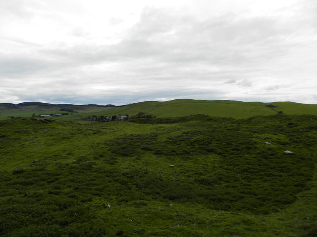
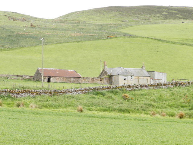
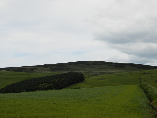
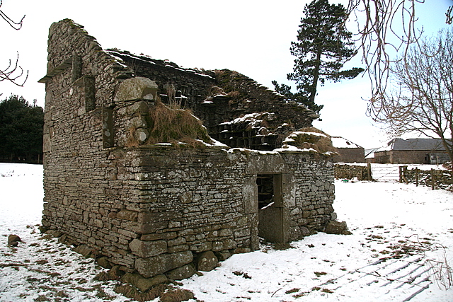
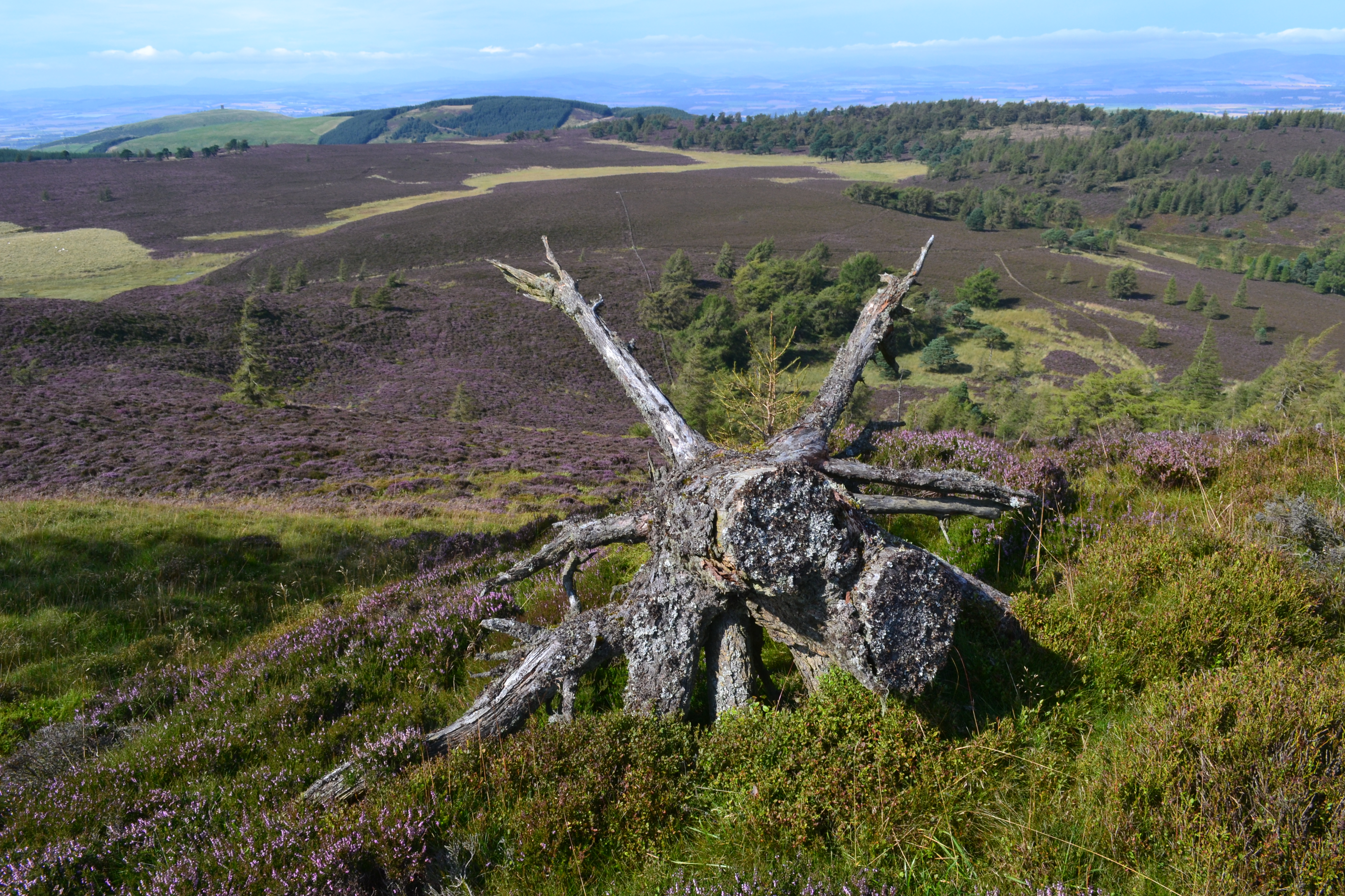
The hill is primarily composed of sandstone and provides a habitat for a variety of flora and fauna. The surrounding landscape is characterized by rolling hills, scattered woodlands, and open moorland, creating a picturesque setting that attracts nature lovers and photographers alike.

The summit of Ark Hill offers panoramic vistas of the surrounding countryside, including the Angus Glens, the Grampian Mountains, and the North Sea coastline. On clear days, it is even possible to catch a glimpse of the distant peaks of the Cairngorms National Park.

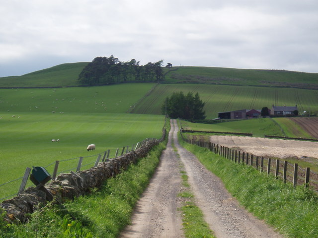
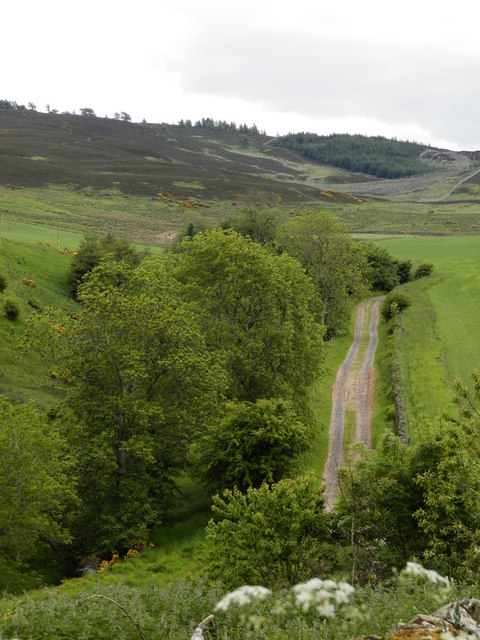
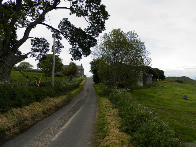
Access to Ark Hill is typically gained through a network of well-maintained trails and footpaths. These routes vary in difficulty, catering to both experienced mountaineers and casual walkers. Visitors are advised to come prepared with suitable clothing, footwear, and provisions, as the weather conditions can be unpredictable.

Overall, Ark Hill is a remarkable natural feature that showcases the beauty of the Angus region, providing an opportunity for outdoor recreation and appreciation of Scotland's stunning landscapes.

If you have any feedback on the listing, please let us know in the comments section below.
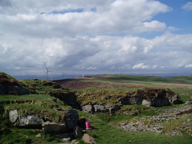
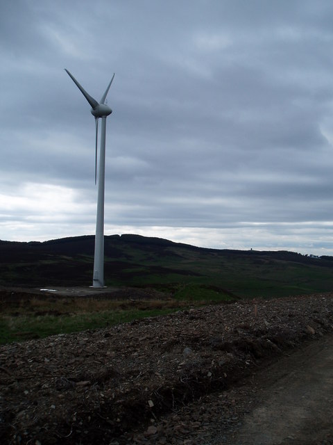
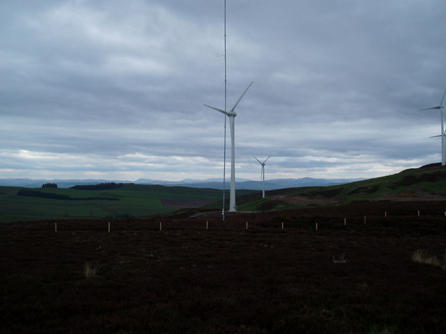
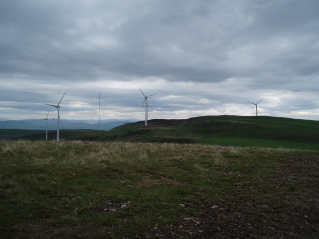
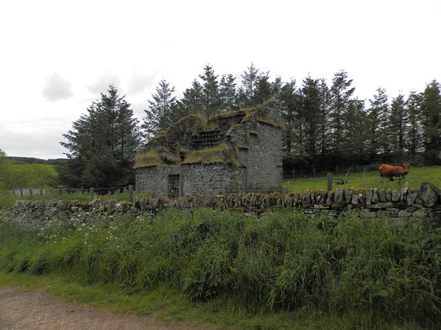
Ark Hill Images

Images are sourced within 2km of 56.570934/-3.0479281 or Grid Reference NO3542. Thanks to Geograph Open Source API. All images are credited.

Deer Fence with path across Boggy Seat New fence with viable path alongside across Boggy Seat (named on 1:25000 OS map). A useful route east from Henderston Hill. Path continues east into small col visible on other side of Boggy Seat.
Deer Fence with path across Boggy Seat
New fence with viable path alongside across Boggy Seat (named on 1:25000 OS map). A useful route east from Henderston Hill. Path continues east into small col visible on other side of Boggy Seat.
Chamberwells Farm
Chamberwells Farm
Abandoned farm at Ryehill
Rough shelter on top of un-named hill Overlooking Strathmore
Rough shelter on top of un-named hill
Overlooking Strathmore
Disused Quarry On top of un-named hill in Sidlaws, the photo is taken towards the recently completed Ark Hill wind farm
Disused Quarry
On top of un-named hill in Sidlaws, the photo is taken towards the recently completed Ark Hill wind farm
Wind Turbine One of the turbines recently erected as part of the Ark Hill development
Wind Turbine
One of the turbines recently erected as part of the Ark Hill development
Wind Turbines on Ark Hill Part of the recently completed wind farm development at Ark Hill
Wind Turbines on Ark Hill
Part of the recently completed wind farm development at Ark Hill
Ark Hill wind farm The recently completed wind farm on Ark Hill
Ark Hill wind farm
The recently completed wind farm on Ark Hill
Farming at Nether Handwick
Farm at Upper Handwick
Track to Upper Middleton
Denoon Law
Denoon Law
Hill Fort on Denoon Law
Doocot at Wester Denoon
Track leading to Auchterhouse Hill
Farm at Easter Denoon The minor road passes between the farm buildings
Farm at Easter Denoon
The minor road passes between the farm buildings
Wedderleys
Wedderleys
Farmland near Easter Denoon Sheltered to the south by Carlunie Hill
Farmland near Easter Denoon
Sheltered to the south by Carlunie Hill
Show me another place!

Ark Hill is located at Grid Ref: NO3542 (Lat: 56.570934, Lng: -3.0479281)

Unitary Authority: Angus

Police Authority: Tayside

What 3 Words

///overhear.sank.also. Near Muirhead, Angus

Nearby Locations

Ark Hill

Related Wikis

Nearby Amenities

Located within 500m of 56.570934,-3.0479281
Ark Hill
Ele: 339
Natural: peak
Wikidata: Q4791631
Wikipedia: en:Ark Hill
Lat/Long: 56.5708243/-3.0475166
Generator Method: wind_turbine
Generator Output Electricity: 0.8 MW
Generator Source: wind
Generator Type: horizontal_axis
Power: generator
Lat/Long: 56.5744957/-3.0439187
Generator Method: wind_turbine
Generator Output Electricity: 0.8 MW
Generator Source: wind
Generator Type: horizontal_axis
Power: generator
Lat/Long: 56.5744603/-3.0497766
Generator Method: wind_turbine
Generator Output Electricity: 0.8 MW
Generator Source: wind
Generator Type: horizontal_axis
Power: generator
Lat/Long: 56.5723799/-3.0471588
Generator Method: wind_turbine
Generator Output Electricity: 0.8 MW
Generator Source: wind
Generator Type: horizontal_axis
Power: generator
Lat/Long: 56.5719071/-3.0518151
Generator Method: wind_turbine
Generator Output Electricity: 0.8 MW
Generator Source: wind
Generator Type: horizontal_axis
Power: generator
Lat/Long: 56.5696374/-3.054626
Generator Method: wind_turbine
Generator Output Electricity: 0.8 MW
Generator Source: wind
Generator Type: horizontal_axis
Power: generator
Lat/Long: 56.5693064/-3.0504525
Generator Method: wind_turbine
Generator Output Electricity: 0.8 MW
Generator Source: wind
Generator Type: horizontal_axis
Power: generator
Lat/Long: 56.5672494/-3.0500878
The data included in this document is from www.openstreetmap.org. The data is made available under ODbL.

Have you been to Ark Hill?

Leave your review of Ark Hill below (or comments, questions and feedback).