Chepstow Hill
Hill, Mountain in Monmouthshire
Wales
Chepstow Hill
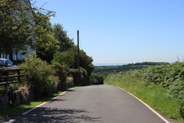
Chepstow Hill, located in Monmouthshire, Wales, is a prominent hill that offers breathtaking views of the surrounding countryside. Standing at an elevation of approximately 220 meters (720 feet), it is a notable landmark that attracts both locals and tourists alike.
The hill is characterized by its steep slopes and lush greenery, creating a picturesque scenery that is reminiscent of the Welsh countryside. The area is covered in a variety of vegetation, including grasses, shrubs, and trees, which add to its natural beauty. In addition, the hill is home to a diverse range of wildlife, making it a popular spot for nature enthusiasts.
Chepstow Hill is not only visually appealing, but it also holds historical significance. At the summit of the hill, there are remnants of Chepstow Castle, an iconic medieval fortress that was built in the 11th century. The castle, with its imposing stone walls and towers, provides a glimpse into the area's rich history and attracts history buffs from all over.
Visitors to Chepstow Hill can enjoy outdoor activities such as hiking and walking, taking advantage of the various paths and trails that traverse the hill. The hill's elevated position offers panoramic views of the River Wye and the surrounding countryside, creating a serene and tranquil atmosphere.
Overall, Chepstow Hill in Monmouthshire is a must-visit destination for nature lovers, history enthusiasts, and those seeking a peaceful escape in the heart of Wales.
If you have any feedback on the listing, please let us know in the comments section below.
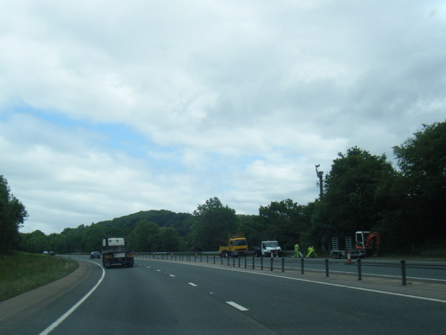
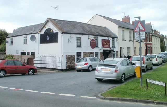
Chepstow Hill Images
Images are sourced within 2km of 51.610427/-2.9310211 or Grid Reference ST3590. Thanks to Geograph Open Source API. All images are credited.
![Archaeological excavations, Caerleon [1] The Roman amphitheatre.
The excavations in 2011 were in the field just behind the row of small trees on the left.](https://s0.geograph.org.uk/geophotos/02/61/26/2612696_d5e4dc61.jpg)
![Archaeological excavations, Caerleon [2] The top of the field which was the location of the excavations in 2011.](https://s3.geograph.org.uk/geophotos/02/61/27/2612771_5544b75b.jpg)
![Archaeological excavations, Caerleon [3] Some beautifully rendered walls, large quantities of oyster shells and pottery were found in this trench.](https://s1.geograph.org.uk/geophotos/02/61/27/2612781_ffcd97ec.jpg)
![Archaeological excavations, Caerleon [4] This is the same trench as <a title="https://www.geograph.org.uk/photo/2612781" href="https://www.geograph.org.uk/photo/2612781">Link</a> but viewed from the lower end.](https://s0.geograph.org.uk/geophotos/02/61/27/2612788_92073cb1.jpg)
![Archaeological excavations, Caerleon [5] Excavating near to the newly discovered quayside.](https://s0.geograph.org.uk/geophotos/02/61/27/2612792_2641f147.jpg)
![Archaeological excavations, Caerleon [6] This shows the quayside of the newly discovered Roman port on the River Usk; the first to be located outside London.
The river runs just beyond the hedge in the background.](https://s3.geograph.org.uk/geophotos/02/61/27/2612799_e6b37c89.jpg)
![Archaeological excavations, Caerleon [7] Taking a sighting from the quayside location to the top of the field.](https://s0.geograph.org.uk/geophotos/02/61/28/2612804_118bb4da.jpg)
![Archaeological excavations, Caerleon [8] The trench with the mechanical digger is being excavated by archaeologists from the Time Team television program.
The quayside trench <a title="https://www.geograph.org.uk/photo/2612799" href="https://www.geograph.org.uk/photo/2612799">Link</a> is beside the tree on the left.](https://s2.geograph.org.uk/geophotos/02/61/28/2612814_de306019.jpg)


Chepstow Hill is located at Grid Ref: ST3590 (Lat: 51.610427, Lng: -2.9310211)
Unitary Authority: Newport
Police Authority: Gwent
What 3 Words
///uses.bend.wanted. Near Langstone, Newport
Nearby Locations
Related Wikis

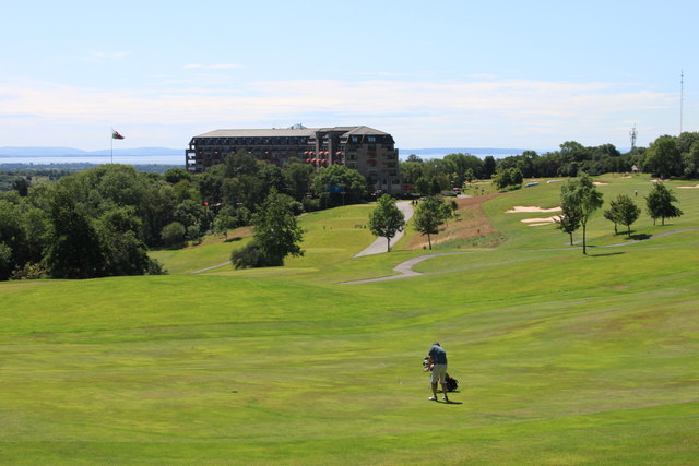
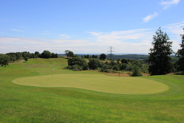
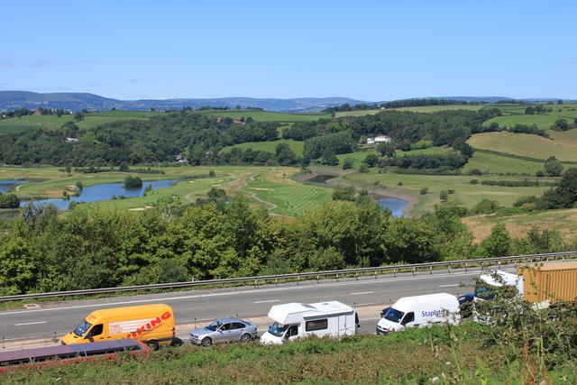
Celtic Manor Resort
Celtic Manor Resort is a golf, spa and leisure hotel and resort in the city of Newport, South East Wales. Owned by Sir Terry Matthews, the resort is located...

Celtic Classic
The Celtic Classic was a professional golf tournament held 13 to 16 August 2020 on the Twenty-Ten Course at the Celtic Manor Resort, in Newport, Wales...
Wales Open
The Wales Open was a professional golf tournament on the European Tour played at the Celtic Manor Resort. It was played annually from 2000 to 2014, as...
2010 Ryder Cup
The 38th Ryder Cup was held 1–4 October 2010 at the Celtic Manor Resort in Newport, Wales. It was the 17th time the Ryder Cup had been staged in Britain...

International Convention Centre Wales
The International Convention Centre Wales (ICC Wales) (Welsh: Canolfan Gynadledda Rhyngwladol Cymru) is a 5,000-capacity venue in the city of Newport,...
Sôr Brook
The Sôr Brook is a right bank tributary of the River Usk running largely in Monmouthshire in south Wales, though the watercourse forms the boundary with...
Bulmore
Bulmore or Bullmoor (Welsh: Y Pwll Mawr) is a hamlet in the south-east of the Caerleon ward of the city of Newport, South Wales. The name is derived from...
Coldra
Coldra is an area within the electoral ward of Ringland, Newport, Wales. It lies between The Coldra Roundabout and Ringland, Newport. == References ==
Related Videos

OUR LOCKDOWN HOLIDAY
Hi my name is Ben and welcome to my vlog My wife Lauren, son Cole and I headed to coldra court hotel for a fantastic weekend.
Walking the hills of Newport stick hunting and dodging the rain
Adventures and Walks with Puppy dog Otis, the Border Collie / Cocker Spaniel cross-breed. Otis was born 7th July 2021 and he ...

Kids party and lunch at Celtic Manor Resort
Lovely day at Celtic Manor Resort! Children's party for laser tag, party lunch and crazy golf. Whilst the kids were playing laser tag, ...

Trip to Roman museum and baths
Outing with Elle and Bea.
Nearby Amenities
Located within 500m of 51.610427,-2.9310211Have you been to Chepstow Hill?
Leave your review of Chepstow Hill below (or comments, questions and feedback).